Spring runoff in Colorado is usually marked by swelling muddy waterways, but this season things may look a little different.
“We know the soils under the snowpack are so dry that it basically has to absorb so much of that, like a sponge, before it transmits it through to a river channel,” said Karl Wetlaufer, Assistant Supervisor for the USDA-NRCS Colorado Snow Survey.
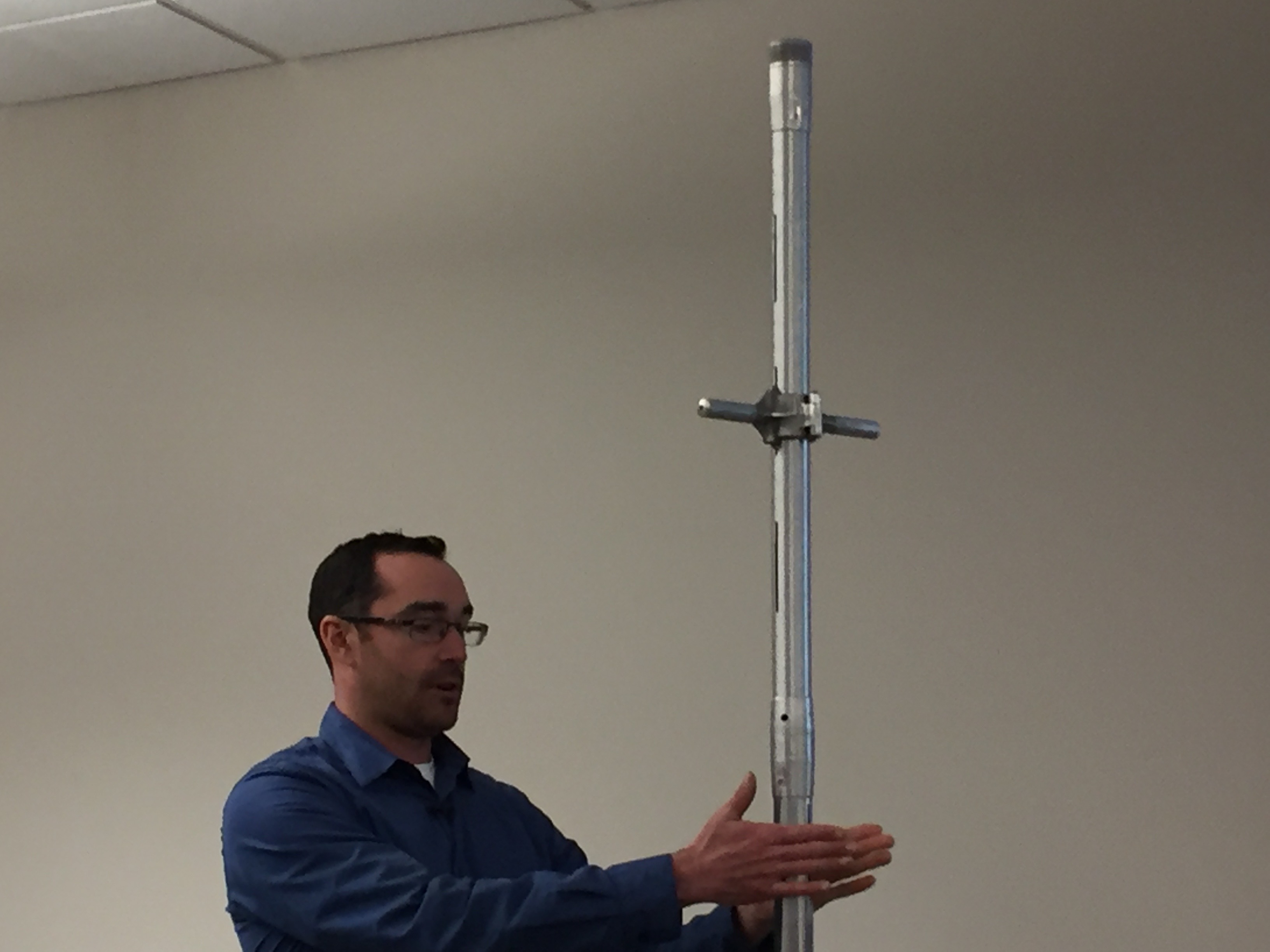
Karl Wetlaufer (NRCS), explaining the use of a Federal Snow Sampler, SnowEx, February 17, 2017.
On [April 7, 2021], Wetlaufer and fellow hydrologist Mike Ardisan made the trek up to Berthoud Pass, one of Colorado’s 115 SNOTEL sites, to look at snowpack data.
“When you look at our data, our annual precipitation will commonly be different than our snowpack, that’s because we start officially measuring this on Oct. 1. In this year, it was a really dry October so there’s an even bigger difference between the snowpack and precipitation value.”
[…]
At Berthoud Pass, one of the highest SNOTEL sites and where Grand County and Clear Creek County meet, the snow depth measured just over 50 inches in most spots. The calculations determined that was equal to about 16 inches of water.
“We’re definitely anticipating significantly lower stream flow runoff, especially compared to our observed snowpack and were actually seeing a net decrease in snowpack even over the last week since April 1.”
[…]
The data plays an important role when it comes to our water resources. Coming off a dry summer followed by a dry winter, the melting snow that normally floods our waterways will head straight for the dry soil, impacting reservoirs and recreation.
“With those dry soils, streamflow runoff could be … 20% less compared to percent of normal,” said Wetlaufer.
The latest streamflow forecast ranges from 40-50% below normal (average) in southwest Colorado, to just 10-15% below normal in the South Platte and Arkansas Basins.
Experts predict many areas will face water restrictions this summer.
Westwide SNOTEL basin-filled map April 9, 2021 via the NRCS.
When we talk about snowpack, we’re talking about the snow that’s been gradually accumulating in the mountains near the headwaters of our major river systems.
The water in that snow would ideally melt off slowly during the spring months so we have water in our reservoirs for the summer. It also alleviates wildfire danger.
But at this point, there are three concerning issues with our current snowpack.
Early Peak
For one, it appears that the snowpack peaked almost a week early. April 7 is the average date for the snowpack to reach its peak and start the runoff season. The data shows that it reached its highest point around April 1st. Usually, the earlier it peaks, the earlier it melts.
Low Snowpack
The second concern is the amount of snowpack. At its peak on April 1, statewide snowpack was 6% below average. Last year it was 7% above average. That’s 13% less snow this season.
Fast Melting
And the third concern is how fast its already melting. The snowpack is now down to 20% below average just 7 days after peaking. It didn’t get down that low last year until the final week of April.
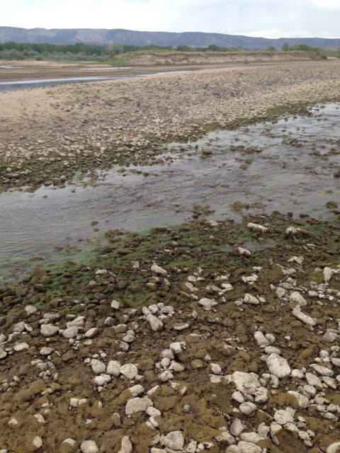
The Yampa River near the entrance to Dinosaur National Monument in the summer of 2018, the first year a call was administered on the Yampa River downstream from Steamboat Springs. Photo/Erin Light
The amount of water in the snow throughout the Yampa River watershed has started declining, indicating that snowmelt is well underway and potentially foreshadowing a summer of low flows in the river.
This measurement, called snow water equivalent inches, generally starts increasing in October and continues to grow until April when the snow starts melting. This point is often referred to as a peak, but it is too early to tell if the snowpack has peaked yet this season.
Last Saturday, this measurement reached 16.5 inches, the highest it has been all season, but has since declined to 14.5 inches on Wednesday, according to data from the Natural Resources Conservation Service. If 16.5 inches ends up being the peak for this season, it will have peaked seven days earlier and with about 3.4 inches less water than the 30-year median peak…
It’s too early to consider this the peak because it could still snow more, which has happened in previous years. In 2018, snow water equivalency appeared to peak on April 1 at 17 inches, but a snowstorm days later resulted in that year’s peak being 19.7 inches, just shy of the 20.1-inch 30-year median…
Brian Domonkos, snow survey supervisor for the Natural Resources Conservation Service, said he wouldn’t say it is a concern at this point but is definitely something to keep an eye on.
It is relatively normal to see things starting to melt at this time of year, he said. What remains to be seen for Domonkos is how much precipitation will come this spring and early summer…
There have been worse years. In 2012, snow equivalency peaked in early March at just 14.3 inches. Still, Romero-Heaney said these low snow years seem to be happening with more frequency…
The river is warmer simply because there is less water to be heated up. When heat from the sun is more concentrated in less water, it can have severe affects on the river’s aquatic life. The city is already working with partners to be able to release more water into the river this summer, something they have started to do nearly every year…
Getting moisture in mid-May to mid-June would be particularly fruitful for producers and set them up for a productive season, especially because most of the grasses that grow in this region are cool-season grasses, Hagenbuch said. These grasses will keep growing if they have water, but when that dries up, so will the grass.