Click the link to read the article on the Writers on the Range website (Stephen Trimble):
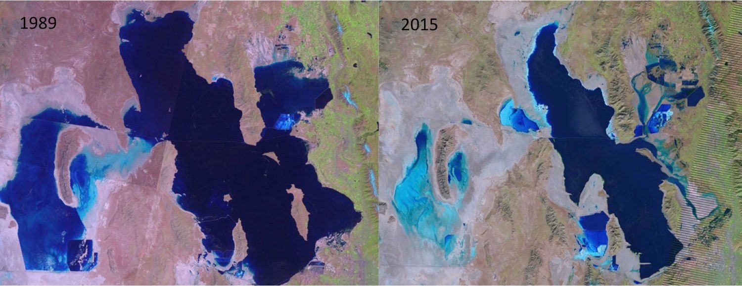
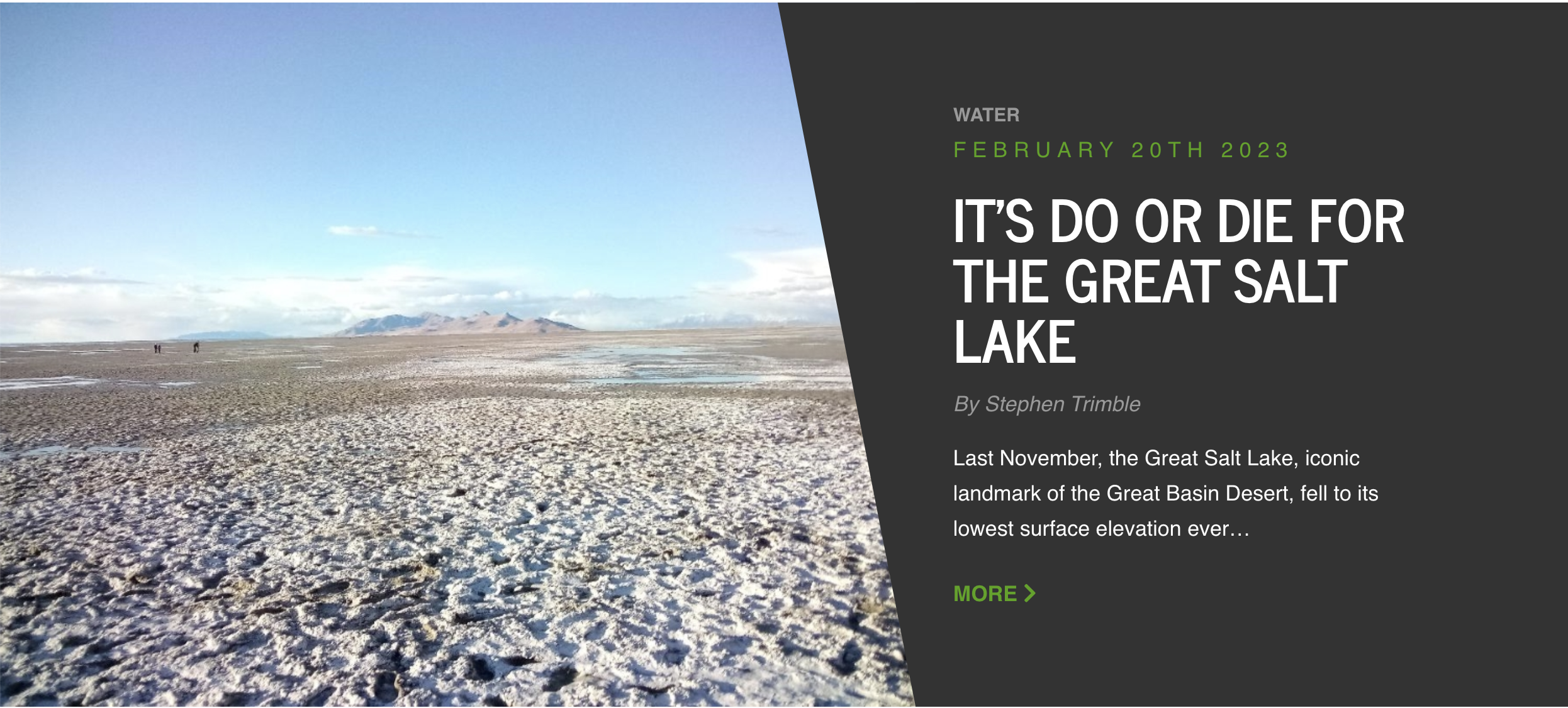
Last November, the Great Salt Lake, iconic landmark of the Great Basin Desert, fell to its lowest surface elevation ever recorded. The lake had lost 73% of its water and 60% of its area. More than 800 square miles of lakebed sediments were laid bare to become dust sources laden with heavy metals.
Without emergency action to double the lake’s inflow, it could dry out in five years. “We’re seeing this system crash before our eyes,” warns Bonnie Baxter, director of the Great Salt Lake Institute at Salt Lake City’s Westminster College.
Settlers colonized the eastern shoreline 175 years ago, displacing Native peoples, and all of us who followed have mostly taken this desert lake and its fiery sunsets for granted. But the lake is an economic engine as well as an ecological treasure.

Its waters and wetlands yield thousands of jobs and an annual $2.5 billion for Utah from mineral extraction and brine shrimp eggs used worldwide as food for farmed fish and shrimp. The lake also suppresses windblown toxic dust, boosts precipitation of incoming storms through the “lake effect,” and supports 80% of Utah’s wetlands.
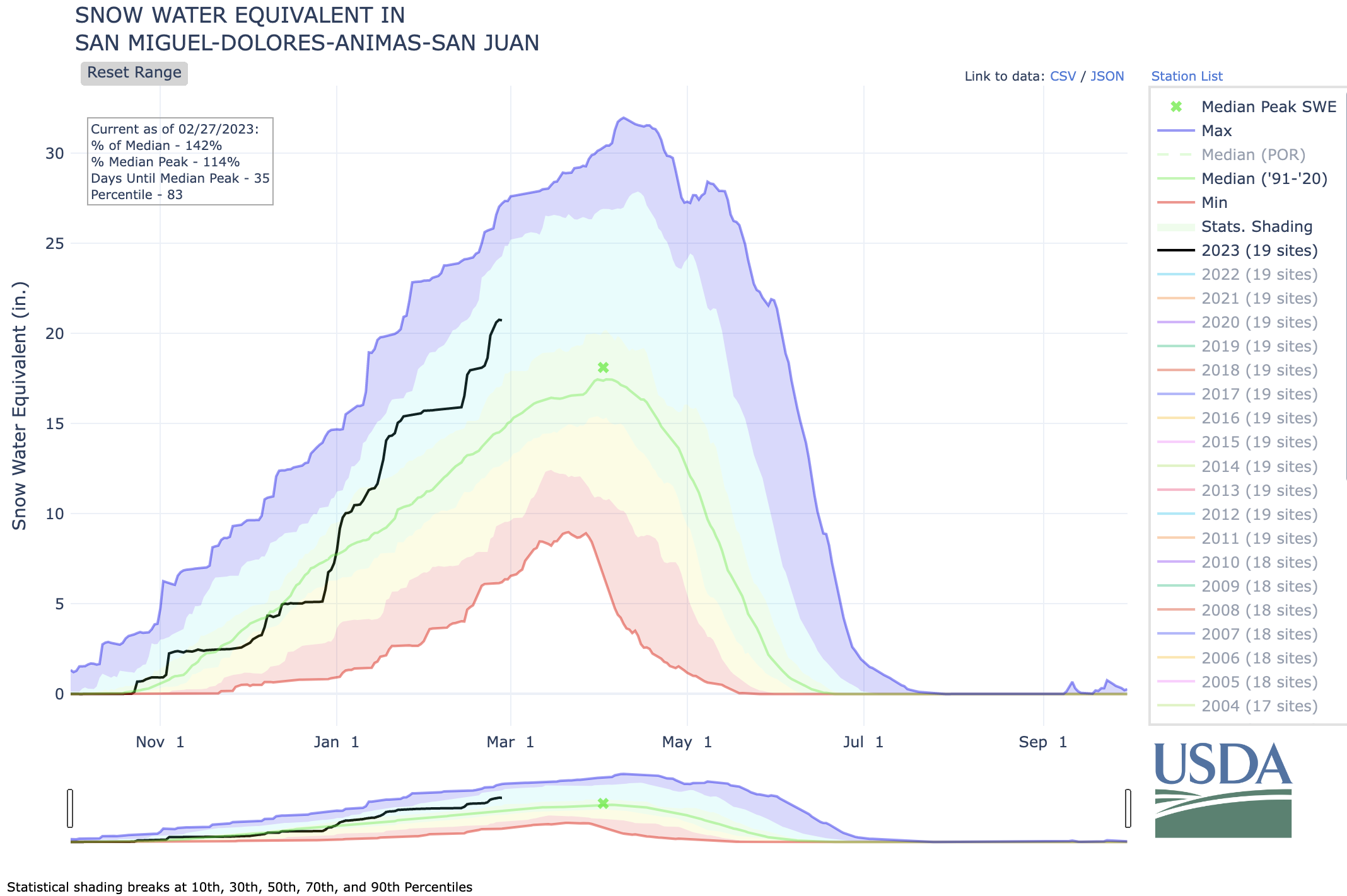
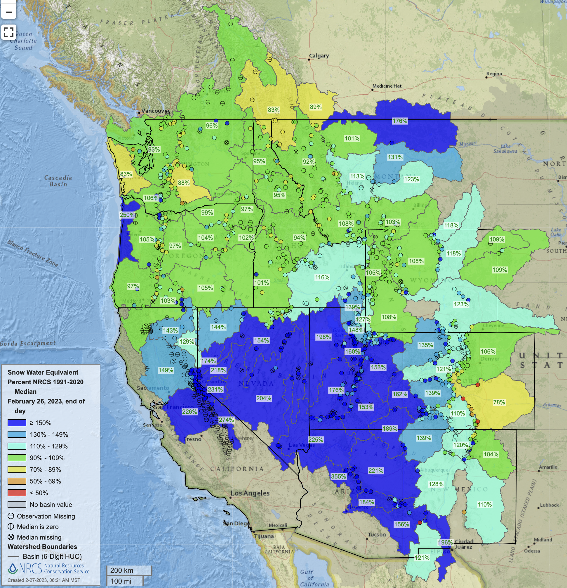
The Great Salt Lake has no outlet. It can hold its own against evaporation only if sufficient water arrives from three river systems, fed by snowmelt in the lake’s 21,000-square-mile mountain watershed. When that flow declines, the shallow lake recedes.
In each of the last three years the lake has received less than a third of its average streamflow, recorded since 1850. And as the lake shrinks, it grows saltier, currently measuring 19 percent salinity. This is six times as salty as the ocean and well past the 12 percent salinity that’s ideal for brine shrimp and brine flies.
More than 10 million birds depend on the lake’s tiny invertebrates for food. Half of the world’s population of Wilson’s phalaropes feasts on Great Salt Lake brine flies in summer, taking on fat reserves for their 3,400-mile, non-stop migration to South America. For phalaropes, the lake is “a lifeline,” says conservation biologist Maureen Frank.
All these wonders do best with a minimum healthy lake level of about 4,200 feet in elevation, which the Great Salt Lake hasn’t seen for 20 years.
You could say that the crisis snuck up on us.
Our big build-up of dams, canals and pipelines to harness incoming water throughout the lake’s watershed began soon after 1900. With a lake this big and with natural fluctuations in weather, “unsustainable behavior doesn’t get noticed until you are really far down the line,” says Ben Abbott, ecologist at Brigham Young University.
By the 1960s, diversions had bled the lake to levels nearly as low as we see today. But then an extraordinary wet period masked the downward trend. In the mid-1980s, the lake hit an historic high, flooding wetlands and highways and threatening the Salt Lake City Airport.
When precipitation dropped to normal, lake levels declined again, aided by today’s drying and warming climate, which is reducing natural flows and increasing evaporation, a recent but growing impact.
But agriculture is the primary driver of the disappearing lake. Two-thirds of the diversions in the Great Salt Lake watershed go to farms and ranches. With climate change accelerating, experts say the only way to bring back the lake is to decrease diversions and crank open the spigots of incoming streams.
Because Utah manages its own water, it’s up to the state Legislature to save the lake. “We can’t talk water into the lake” through studies and task forces, as Salt Lake City Rep. Joel Briscoe puts it. The State Legislature can—and must—pass mandates and incentives to reduce water use, purchase water rights, pay farmers to fallow fields and increase streamflow.
To pass such legislation, lawmakers must withstand unremitting pressure from a chorus of high-paid and powerful water lobbyists.
The 2023 Utah legislative session ends on March 3. If the members don’t take sufficient and difficult action to save the Great Salt Lake from collapse, the lake will face ruin. As the Brigham Young University scientist Ben Abbott says, “Unlike politicians, hydrology doesn’t negotiate.”
Waiting another year may be too late. Utah—the second driest state in the nation—must come to grips with its arid heart.
Stephen Trimble is a contributor to Writers on the Range, writersontherange.org, an independent nonprofit dedicated to spurring conversation about the West. A 35th-anniversary update of his book, The Sagebrush Ocean: A Natural History of the Great Basin, will be published next year.