Nitrates draining into the Salton Sea underestimated by a factor of ten

A UC Davis study on the Salton Sea air basin found that nitrogen oxide emissions from soils (driven by fertilizer use, irrigation, and heat) were underestimated in the official inventory by about a factor of ten. Soil NOx emissions averaged 11 tons per day, ten times the state inventory value.1 Recent work and briefs using the Salton Sea Environmental Time Series data show that nitrogen levels in the Salton Sea water column are extremely high (higher than 95% of U.S. lakes) and that government monitoring systems are missing much of the nutrient-related and hydrogen sulfide–related hazard, but they emphasize incomplete or spatially biased monitoring.2

Nitrates entering the Salton Sea primarily drive hazardous air pollution indirectly through eutrophication and microbial processes, rather than as direct airborne nitrates.3 Nitrates from fertilizers applied in the surrounding Imperial and Coachella Valleys are taken up by arid soils, where microbial processes (nitrification and denitrification) convert them to nitrogen oxides (NOx), a key precursor to ground-level ozone (O3) and fine particulate matter (PM2.5).4

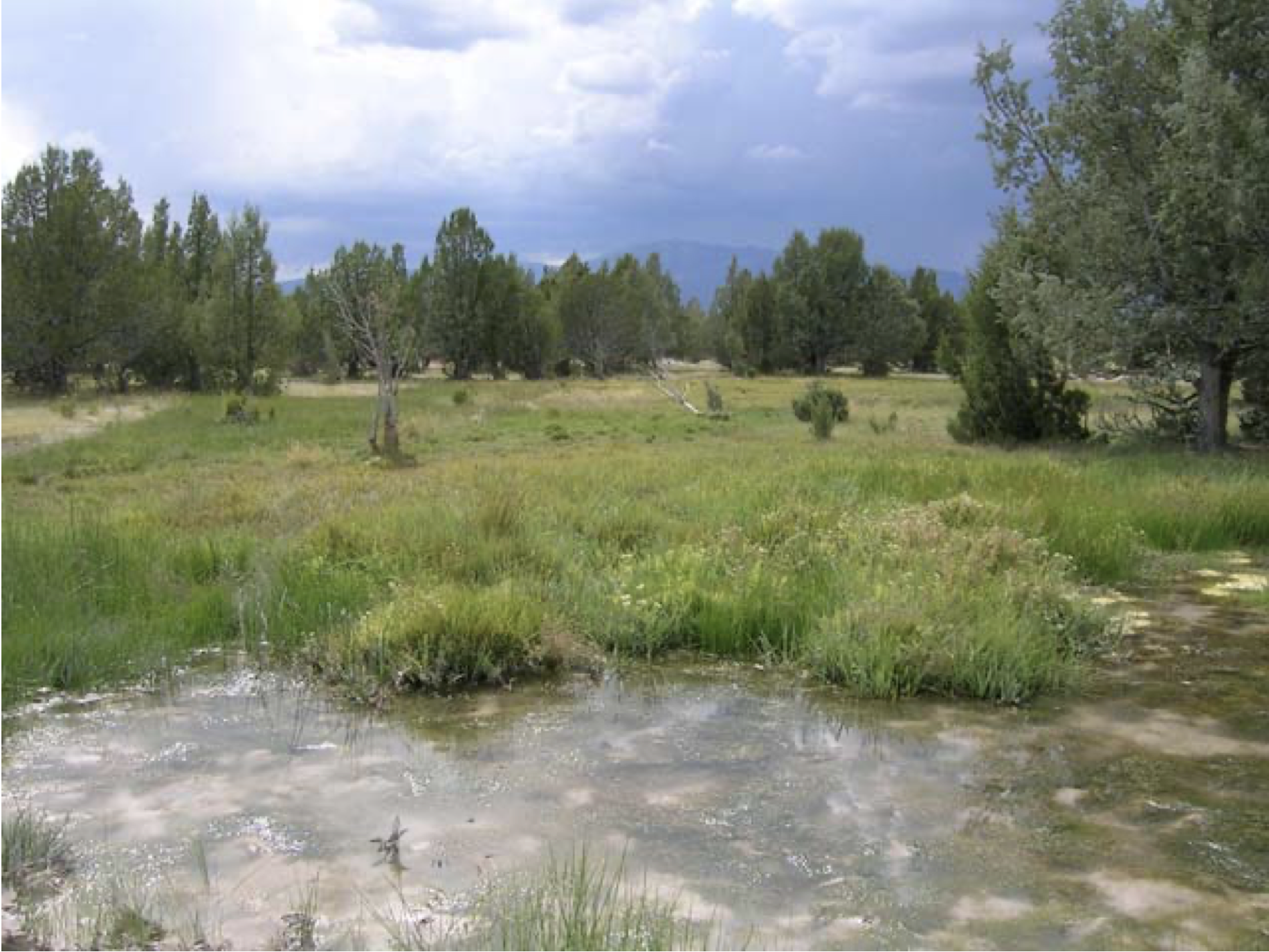
These soil NOx emissions in the Salton Sea Air Basin have been measured at 11 tons per day on average—about 10 times higher than prior state inventories—exacerbating nonattainment of federal air quality standards for ozone and PM.5 Intensive irrigation and fertilizer use amplify these pulses, especially under rising temperatures, linking agricultural nitrate management directly to regional air pollution budgets.6 High nitrate inflows fuel algal blooms, whose decomposition under low-oxygen conditions produces hydrogen sulfide (H2S) gas via sulfate-reducing bacteria.7

H2S routinely exceeds health-based thresholds (e.g., 30 ppb) around the Sea, causing odors, respiratory irritation, headaches, and potential asthma exacerbation in nearby communities like Slab City and Mecca.8 Recent UCLA studies using high-frequency sensors confirmed persistent H2S elevations tied to nitrate-driven nutrient richness, with inadequate monitoring missing peak events.9 NOx from soil and other sources forms secondary nitrate aerosols (part of PM2.5 and PM10), worsening inhalable particulate pollution already heightened by dust from the receding shoreline.10

While playa dust carries salts, metals, and legacy pesticides independently, nutrient overload indirectly worsens air quality by sustaining a chemically reactive lake environment.11 These combined pollutants contribute to chronic respiratory and cardiovascular risks in the low-population but agriculturally intense basin.12

Civil Servants Arrange Buffet for #ColoradoRiver Negotiators — Brian McNeece #COriver #aridification

Carly Jerla speaking at the Colorado River Water User’s Association Conference December 5, 2024. Photo credit: USBR

From email from Brian McNeece:

January 27, 2026

Colorado River negotiations have bogged down, but dozens of experts at the Bureau of Reclamation (BOR) have been streaming right along. On Jan. 14, the BOR released its draft Environmental Impact Statement (EIS), which is bureaucratese for a report on options for the negotiators after the current rules expire this year.

It’s a bit complicated. The report includes a modeling of 1,200 possible future scenarios for the entire Colorado River system and runs 1,600 pages. Just the Executive Summary is 66 pages. The theme of this massive undertaking is deep uncertainty. In fact, that is the name of the modeling process: Decision Making Under Deep Uncertainty.

What’s uncertain? Well, in a word: the weather. And not just the weather, but also population growth and water use patterns. Most scientists agree that climate change includes aridification, or a general drying of the Colorado River basin, but it’s impossible to quantify reliably. Thus the 1,200 futures.

This massive report took two and a half years to compile with the help of around 150 people with expertise in everything from hydrology to chemical engineering to wildlife management to socioeconomics to anthropology to law. Browsing through it, I marveled at the depth of analysis and the advanced computational and mathematical tools brought to bear on a question, which at the end of the river, is a political one. I thought, does anyone understand all of it? But when I looked at the top of the list of preparers, I realized that yes, someone does.

And that is Carly Jerla. She’s the Senior Water Resources Program Manager for the Bureau of Reclamation. Ms. Jerla was hired by the BOR in 2005 as a graduate student at the University of Colorado’s Center for Advanced Decision Support for Water and Environmental Systems. She is trained in civil and environmental engineering and public policy. Twenty years on, she’s the boss of this effort.

I’ve watched Ms. Jerla in action at several of the recent Colorado River Water Users Association (CRWUA) conferences in Las Vegas. A petite woman, Carly has a disarmingly low, warm voice. Speaking to a crowd of 1,700 people, she talks as if she’s having an over-the-fence conversation with a neighbor. But as the overlays of data stacked up on her slides, I could sense her losing the audience. It was just too much.

We saw a draft of the current report in 2024. Since then, it has grown massively, but the same dilemma exists and can actually be summed up simply. In re-writing the rules for how the water of the river gets divvied up, they need to decide what triggers shortage conditions, how much cuts each contractor must take under those conditions, and where shortages are measured. In the past, Lake Mead and Lake Powell had separate conditions, and the reservoirs above Lake Powell were not in play. Ms. Jerla’s report emphasizes that the entire system should be considered in the rules, not just the two giant reservoirs.

There are currently five major alternatives being proposed. This first one, called the No-Action Alternative, is also the no-go alternative, since it returns us to the world prior to the 2007 guidelines for shortages. The No-Action Alternative would drain the reservoirs. So negotiators must choose one of the other four alternatives. All of them make heavy cuts, either based on prior appropriation (i.e. the Law of the River) or pro rata (i.e. proportional cuts for everyone).

Is there a Goldilocks alternative among the other four? One that splits the difference between the historical, asymmetrical Law of the River and the fairness in a pro rata plan? No, there isn’t. That’s why we’re stuck.

There’s one future scenario that is completely omitted from the alternatives. Colorado’s negotiator Becky Mitchell has repeatedly called for the Upper Basin states to get MORE water. She points out that the Colorado River Compact of 1922 allocated the Upper Basin the same amount allocated to the Lower Basin states — 7.5 million acre feet. But that’s 3 million more acre-feet than the Upper Basin has ever drawn from the system. 

None of the five alternatives, and apparently not one of Carly Jerla’s 1,200 possible futures, includes that premise. So if the Upper Basin negotiators are staking their claim on the river to include more water for them, they are way off the mark. Their next best hope is to take no cuts, but that option won’t float in the Lower Basin.

Trying to make a decision under Deep Uncertainty is tough, tough work. Carly Jerla and her team have laid out the buffet for the representatives from the states along the Colorado River. Time to pick from the menu. 

Map of the Colorado River drainage basin, created using USGS data. By Shannon1 Creative Commons Attribution-Share Alike 4.0

#Colorado’s constitution has been amended repeatedly since 1876, when Colorado achieved statehood, but the provision setting forth prior appropriation has not been touched — Ken Neubecker #ColoradoRiver #COriver #aridification

Aging Vallecito Reservoir needs a serious makeover: Emergency overflow remains unusable until fixes can be made — The #Durango Herald #VallecitoCreek #LosPinosRiver

Vallecito Lake via Vallecito Chamber

Click the link to read the article on The Durango Herald website (Jessica Bowman). Here’s an excerpt:

February 2, 2026

Vallecito Dam is due for some serious upkeep…But aging materials and erosion have caused significant damage to the dam’s emergency support structures, and a major repair project is coming down the pipeline sometime in the next several years.

“We’ve got this issue and we know it’s here. It hasn’t been clandestine; we’ve told people about it forever,” said Ken Beck, superintendent of the Pine River Irrigation District. “But it’s a nail-biter for a superintendent and dam tender.”

PRID operates, maintains and manages Vallecito Dam and Reservoir, which holds and delivers supplemental irrigation water to 65,000 acres of land downstream – the lifeblood for ranchers and farmers who hold water rights with the district…The repair project – about which little has been decided beyond the fact that it must happen – will be a massive undertaking. Beck estimated it could take roughly two to four years to complete once ground is broken, likely changing some of the regular operations of the reservoir. There is the potential that irrigators, ranchers and farmers who rely on consistent water deliveries would feel some impact – but Beck said how much and if at all is dependent on a variety of factors, like the weather and the time of year when the construction is done…The project is also important from the standpoint of the Southern Ute Indian Tribe, which is entitled to one-sixth of the reservoir’s total storage capacity. That water is used primarily for tribal agriculture and water management…

The primary issue is the dam’s upper spillway, a critical safety structure designed to release water during extreme runoff or flood events. Vallecito’s upper spillway includes three radial gates and a concrete chute that carries water to be released downstream safely without damaging the dam itself. Any damage to that infrastructure is a critical issue, and can compromise the dam’s ability to manage high water and protect downstream communities…In 2017, PRID conducted a dye test to assess the spillway’s integrity, Beck said. Dye placed upstream later appeared in areas downstream where it should not have surfaced if the structure were intact, confirming that water was migrating beneath the concrete spillway.

That process – known as “piping” – can carry sediment out from under the structure and weaken its foundation. After the dye test, the Bureau of Reclamation launched a series of investigations that revealed large underground voids – some as large as 4 by 10 feet – beneath portions of the spillway. Beck said it was determined the upper spillway is unsafe to use except in dire emergencies, because uncontrolled flows could accelerate erosion and threaten the dam’s integrity.

San Juan River Basin. Graphic credit Wikipedia.

Federal Water Tap February 2, 2026 — Brett Walton (circleofblue.org)

Click the link to read the article on the Circle of Blue website (Brett Walton):

February 2, 2026

Federal Water Tap is a weekly digest spotting trends in U.S. government water policy. To get more water news, follow Circle of Blue on Twitter and sign up for our newsletter.

The Rundown

  • South Dakota representatives introduce three bills to authorize feasibility studies for regional water supply projects, including two Missouri River diversions.
  • BLM revises its publication date for a final environmental assessment of a proposed groundwater pipeline in southwest Utah.
  • White House advisory group recommends changes to FEMA’s disaster response.
  • USGS researchers assess a less-toxic means of controlling a non-native, ecologically-damaging reed in the Great Lakes.

And lastly, a federal financial oversight board’s annual report notes that the Trump administration removed climate-risk guidance for large financial institutions.

“The associated mission drift can also lend itself to political ends, such as excessive focus on climate risk and the effective debanking of certain industries. Collectively, this increases distraction and compliance costs while impeding responsible lending and risk-taking.” – Excerpt from the Financial Stability Oversight Council’s 2025 annual report. The council, established after the 2007-09 financial crisis, oversees the nation’s banking system. The report argues that the council should focus on “material financial risks” instead of things like climate risk. Last year, the Trump administration retracted federal climate-risk guidance that applied to financial institutions with more than $100 billion in assets, saying it was “distracting.”

By the Numbers

11: Features that the departments of Agriculture, Commerce, and Interior should incorporate into their agreements with tribes that would strengthen tribal co-management of land and waters, according to a Government Accountability Office report. The features include clear definition of roles and goals, dispute resolution, and accountability. The three agencies signed a joint order in 2022 to collaborate with tribes on natural resources management.

News Briefs

Water Bills in Congress
Representatives in the western states introduced several water-supply bills in the last week.

  • South Dakota’s delegation introduced a trio of bills in the House and Senate that would require the Interior Department to study the feasibility of new or expanded rural water supply projects in that state and its neighbors. One study, authorized at $10 million, regards a potential diversion of Missouri River water to the growing Rapid City area. This bill failed in the previous Congress. Another bill is to study a potential Missouri River diversion to a separate regional water system in eastern South Dakota, Iowa, and Minnesota. Still another bill is to study an expansion of the Lewis and Clark rural water system, which extends into Iowa and Minnesota and has been under construction for more than two decades.
  • Rep. David Schweikert (R-AZ) is seeking to protect his state in the tussle over the Colorado River. His bill would require proportional cutbacks among Arizona, California, and Nevada, instead of relying on the Supreme Court’s decreed rights, which do not favor Arizona.
  • Sen. Ruben Gallego (D-AZ) introduced a bill to establish a $15 million per year grant program for “natural water retention and release” projects that hold water in aquifers and floodplains.

Studies and Reports

Proposed FEMA Changes
A White House advisory group is preparing to recommend an overhaul in how FEMA distributes post-disaster aid, according to Politico’s E&E News.

A draft of the plan would shift post-disaster funding to a “parametric” model – paying out based on thresholds like river height and wind speed – rather than the current one that is derived from estimated loss and damage.

The change would prioritize speed over precision, disaster aid experts told the news site.

Great Lakes Phragmites Fight
Phragmites is a reedy, non-native wetland plant that has grown into dense, ecologically-damaging clusters along Great Lakes shorelines.

Weedkillers are a common management strategy, but U.S. Geological Survey researchers contributed to a study that assessed a less toxic alternative.

They found that “cut-to-drown” – cutting phragmites stems below water – was an effective way of “drowning the plant and depleting its stored resources.”

On the Radar

Senate Cybersecurity Hearing
On February 4, the Senate Committee on Environment and Public Works will hold a hearing on cybersecurity for America’s water infrastructure systems. Witnesses include a researcher and water utility representatives.

Southwest Utah Groundwater Pipeline
The Bureau of Land Management now expects to publish a final environmental impact statement for the Pine Valley Water Supply Project on February 27, 2026.

The initial publication date of November 2025 was delayed due to the government shutdown.

The project is a 70-mile pipeline to pump 15,000 acre-feet of water per year from wells in Beaver County to customers in neighboring Iron County.

“Swamp Cedars” (Juniperus scopulorum) and associated pond, wetland and meadow in Spring Valley, White Pine County, Nevada. Photograph by Dennis Ghiglieri from http://images.water.nv.gov/images/Hearing%20Exhibit%20Archives/spring%20valley/WELC/Exhibit%203030.pdf