The drought-monitoring period, which began on the morning of February 22 and ended early March 1, featured some wild temperature swings, along with a band of heavy precipitation stretching from the mid-South into the Northeast. In fact, this represented the second consecutive monitoring period with significant precipitation along nearly the same axis, while many other parts of the country received little or no moisture. As a result, gradual expansion of dryness and drought was the rule across much of the western half of the nation, extending into parts of the upper Midwest, as well as the southern Atlantic States and the Gulf Coast region. In contrast, heavy precipitation kept drought at bay from the Ozark Plateau into the Ohio and Tennessee Valleys and the lower Great Lakes region. Significant precipitation also fell in drought-free areas of the Pacific Northwest, leading to another round of flooding in parts of western Washington…
For much of the winter of 2021-22, the High Plains were beset by sharp temperature fluctuations and only periodic precipitation, leaving drought largely intact through the cold season. Sub-zero, daily-record lows on February 23 plunged to -8°F in Burlington, Colorado, and -2°F in Russell, Kansas. Several weather stations, including Goodland, Kansas, and Grand Island, Nebraska, reported four consecutive sub-zero minima from February 22-25. By March 1, temperatures rebounded to 73°F in Goodland and 75°F in Grand Island. Farther north, however, drought has been eradicated from the eastern Dakotas, with spring flooding becoming more likely in the Red River Valley of the North. In eastern North Dakota, persistently cold weather has helped to maintain an impressive snow cover. Across the remainder of the region however, short-term precipitation deficits have become superimposed over long-term shortfalls. By February 27, the U.S. Department of Agriculture reported topsoil moisture in Kansas was 80% very short to short, while 38% of the state’s winter wheat was rated in very poor to poor condition. In part due to short-term precipitation deficits, severe drought (D2) was broadly expanded across Kansas and Nebraska, with corresponding increases in other drought categories…
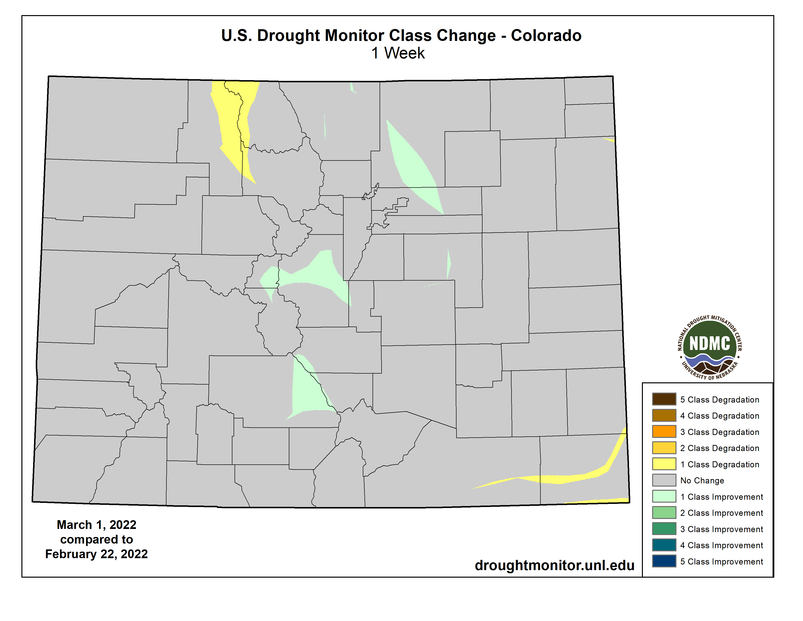
Colorado Drought Monitor one week change map ending March 1, 2022.
Most of the region experienced an extremely disappointing January-February period, with some locations, including downtown San Francisco, California, reporting record-low precipitation totals for those 2 months. San Francisco’s 2-month total of 0.65 inch (7% of normal) eclipsed the record of 0.72 inch established in January-February 1852. Downtown San Francisco also received no rain—not even a trace—from January 8 to February 20, a span of 44 days, followed by a meager 0.04 inch on the 21st. San Francisco’s longest winter dry spell remains 46 days, from December 1, 1876, to January 15, 1877—a streak that began in late autumn (on November 17) and extended to 60 days. The longest modern winter dry spell in San Francisco’s history stretched 43 days, from December 25, 2014 – February 5, 2015. Other California locations setting records for January-February dryness included San Jose (0.01 inch), Fresno (0.04 inch), Sacramento (0.05 inch), and Eureka (2.39 inches). According to the California Department of Water Resources, the average water equivalency of the Sierra Nevada snowpack stood near 15 inches at the end of February (less than two-thirds of average for the date)—effectively no change from the beginning of the year. Similar scenarios played out in many other areas of the western U.S., with promising early-season snowpack “flatlining” during January and February. By the end of February, basin-average snowpack water equivalency values were close to normal only in selected areas, including the northern Cascades, portions of the northern and central Rockies, and the Wasatch Range. Significantly below-average snowpack (less than 70% of average) was common across the Sierra Nevada and the northern Great Basin, extending into parts of southern and eastern Oregon. Low snowpack numbers were also noted in parts of eastern Wyoming and large sections of the Southwest…
For the second week in a row, a sharp contrast existed between heavy precipitation in the mid-South and mostly dry weather closer to the Gulf Coast and across the southern Great Plains. That pattern, consistent with La Niña, helped to sharpen the drought gradient across Arkansas and Mississippi. Meanwhile, extreme drought (D3) was expanded in several areas, including southwestern Louisiana. Winter (December-February) rainfall totaled just 5.18 inches (39% of normal) in New Iberia, Louisiana, and 3.94 inches (29%) in Beaumont-Port Arthur, Texas. On February 27, statewide topsoil moisture in Texas and Oklahoma was rated at least three-quarters very short to short, according to the U.S. Department of Agriculture. On that date, winter wheat was rated 75% very poor to poor in Texas, along with 65% in Oklahoma. Texas also reported 69% of its rangeland, pastures, and oats were rated very poor to poor. Burn bans were in effect for dozens of counties across Texas, as well as western and central Oklahoma.
US Drought Monitor one week change map ending March 1, 2022.
Just for grins here’s a gallery of early March US Drought Monitor maps for the past few years.