The Chaffee County Risk Mapping, Assessment and Planning (Risk MAP) Study is underway across the county through the Colorado Water Conservation Board (CWCB). The Chaffee Risk MAP Study will collect data on field conditions in areas of the county believed to be at risk for impacts from future flooding, erosion, debris flow, or related hazard events. This information will be used to update flood risk information and floodplain mapping in certain watersheds and create tools that provide a data-driven framework for land use and other decision-making in affected areas. The study is funded by the Federal Emergency Management Agency (FEMA).
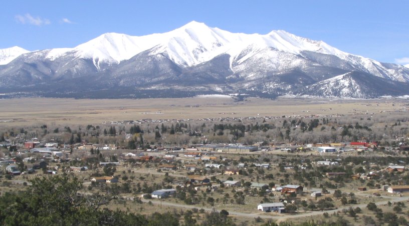
Buena Vista
The Local Risk
Based on assessments performed for the 2021 Chaffee County Hazard Mitigation Plan, overall flood risk is an important consideration due to precipitation and snowmelt runoff, and is categorized as medium to high risk in most populated areas of Chaffee County. Countywide, an estimated $34.5 million in property losses is at risk to a one-percent annual chance flood hazard. The unincorporated areas of the county together make up the majority of this exposure, with an estimated $26.7 million in losses at risk. Of the municipalities in Chaffee County, Buena Vista is at the highest risk with $6.1 million in estimated losses in a one-percent annual chance flood, followed by Poncha Springs and Salida with approximately $1.1 million and $460,000 in estimated losses respectively.
Floodplain survey activities are currently planned between March and June
The survey work will be focusing on several flooding sources in all of the incorporated communities and the unincorporated county areas. According to the CWCB, the survey crews will be collecting elevation and other basic information on the land around the waterways being studied, and will not dig around nor disturb the areas…Wood and Merrick & Company are the floodplain mapping and field surveying contractors working with CWCB for Chaffee County’s study. Wood is also familiar with Chaffee County through their work with the 2021 update of Chaffee County’s Hazard Mitigation Plan.