

Click the link to read the article on The Los Angeles Times website (Haley Smith). Here’s an excerpt:
At the UC Berkeley Central Sierra Snow Laboratory in Donner Pass on Wednesday, snow was piled so high that lead scientist Andrew Schwartz no longer needed stairs to exit the second floor.
“We just walk directly out onto the snow!” Schwartz said. The nearly 11 feet of snow surrounding the lab was the deepest he’d seen so far this year.
The piles of powder are the result of a series of powerful atmospheric river stormsthat have pummeled California over the last two weeks. The storms have claimed at least 19 lives as they topple trees, overtop levees and send people scrambling for higher ground.
But while the storms have delivered chaos, they have also helped to make a dent in drought conditions. The state’s snow water equivalent — or the amount of water contained in the snow — was 226% of normal on Wednesday, marking a high for the date not seen in at least two decades. The last time snowpack neared such a high on Jan. 11 was in 2005, when it was 206% of normal, according to state data. Even more promising, the Sierra snowpack on Wednesday measured 102% of its April 1 average, referring to the end-of-season date when snowpack in California is usually at its deepest. This is the first time that’s happened on Jan. 11 in at least 20 years…
DWR water operations manager Molly White said reservoirs were also seeing boosts from the storms, with some smaller reservoirs recovering fully from drought-driven deficits. But the state’s two largest reservoirs, Lake Shasta and Lake Oroville, remain far from full, topping out at 42% and 47% of capacity, respectively, on Wednesday…
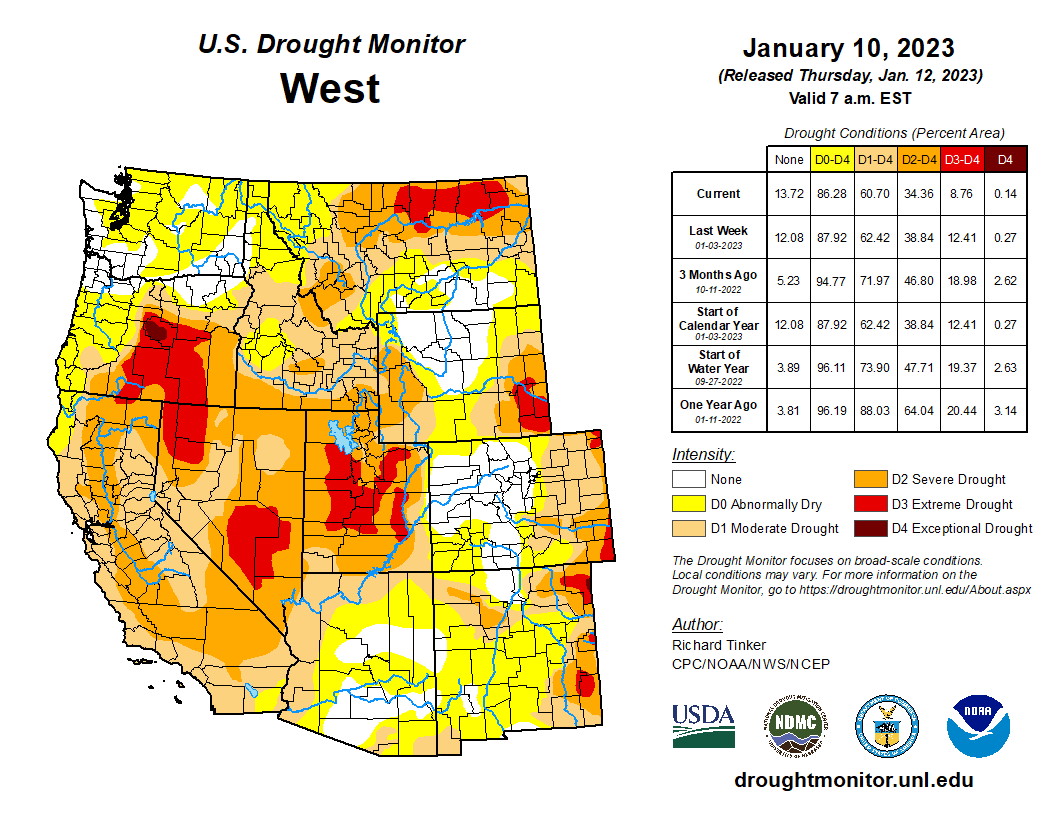
[John] Abatzoglou said Wednesday’s snowpack levels were impressive, and noted that the most recent U.S. Drought Monitor update saw the worst category, “exceptional drought,” erased from California’s map altogether. Only a week before that update, more than 7% of the state was in that category.
