Click the link to access the dashboard on the Aspen Journalism webiste (Laurine Lassalle):
Aspen Journalism is compiling a data dashboard highlighting metrics of local public interest, updated weekly.
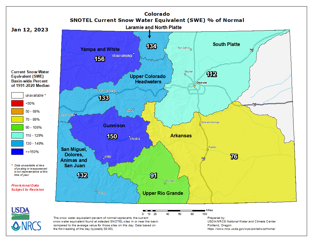
Snowpack at McClure Pass roughly 150% of average
Snowpack in the Roaring Fork basin reached 126% of average for Jan. 8 with 9.7 inches of snow-water equivalent, according to NOAA. Recent snowfall has increased the basin snowpack by 43% in the past two weeks.
SNOTEL sites that monitor snowfall throughout the winter measured the snowpack at Independence Pass at 94.9% of average on Jan. 8, with a “snow water equivalent” (SWE) of 7.4 inches, up from 6.81 inches on Jan. 8. Last year on Jan. 8, the SNOTEL station up the pass (located at elevation 10,600 feet) recorded an SWE of 8.58 inches, or 110% of average.
The monitoring station at McClure Pass located at elevation 9,500 feet recorded a SWE of 11.18 inches on Jan. 8, or 149.1% of average. That’s up from a SWE of 9.09 inches on Jan. 1. Last year, on Jan. 8, the station also measured a snowpack holding 8.39 inches of water.
On the northeast side of the Roaring Fork Basin, snowpack at Ivanhoe, which sits at an elevation of 10,400 feet, reached 8.5 inches on Jan. 8, or 123.2% of average.
Snowpack at Schofield Pass reached 18.11 inches on Jan. 8, which represents 123.2% of average. Schofield Pass sits at an elevation of 10,700 feet between Marble and Crested Butte.
Snow water equivalent — the metric used to track snowpack — is the amount of water contained within the snowpack, which will become our future water supply running in local rivers and streams.