
Click the link to read the article on the NIDIS website:
A Series of Atmospheric Rivers Have Hit Parts of the West. What Does This Mean for Drought?
Key Points
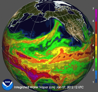
- Starting on December 26, 2022, a series of 9 atmospheric rivers(ARs) brought significant amounts of rain, snow, and wind to California and other parts of the western United States over a 3-week period.
- 80% of a full seasonal snowpack was deposited in California during these storms. Statewide, precipitation over these 3 weeks was 11.2 inches, which is 46% of a full water year.
- The AR events have been a big boost to mountain snowpack across the West, where snow water equivalent (SWE) totals are well above normal for this time of year except for many parts of the Cascades and the Northern Rockies, where accumulation has slowed since the beginning of January.
- Given that it is still early in the snow accumulation season, water year totals could either be moderate if the rest of the winter and spring are dry, or relatively high if precipitation continues.
- According to Natural Resources Conservation Service SNOTEL, as of end of day January 22, 2023, the snow water equivalent for the California Region is 215%, the Great Basin is 206%, and the Upper and Lower Colorado River Basins are 146% and 218%, respectively.
- These recent storms improved drought conditions by increasing soil moisture throughout much of the West, especially in California. The amount of water stored in many reservoirs increased, but some are still well below historical averages for this time of year.
- Despite the drought improvements in many areas, long-term drought persists in parts of the West. Reservoir storage deficits, such as those within the Colorado River system, and groundwater and soil moisture deficits (especially in the Northwest) that have built up over many months to years will require additional precipitation to overcome.
- Pockets of extreme (D3) and exceptional (D4) drought continue to persist in Utah, Nevada, and central and eastern Oregon.
- The long sequence of ARs that made landfall in California and the amounts of precipitation that fell over this relatively short period of time caused flooding, dangerous travel conditions, and debris flows.
- The NOAA Climate Prediction Center’s Seasonal Outlook shows chances of drought removal or improvement for central and northern California, Oregon, Idaho, and the northern Rockies, with drought remaining in southern California, Nevada, and Utah. The current forecasts indicate AR activity could pick up again in early February, but the storm tracks are still uncertain.
