Click the link to read the article on the InkStain websire (John Fleck):
Ryan Boetel at the Albuquerque Journal has the latest in the morning paper on the big flows on the Rio Jemez, a Rio Grande tributary north of Albuquerque.
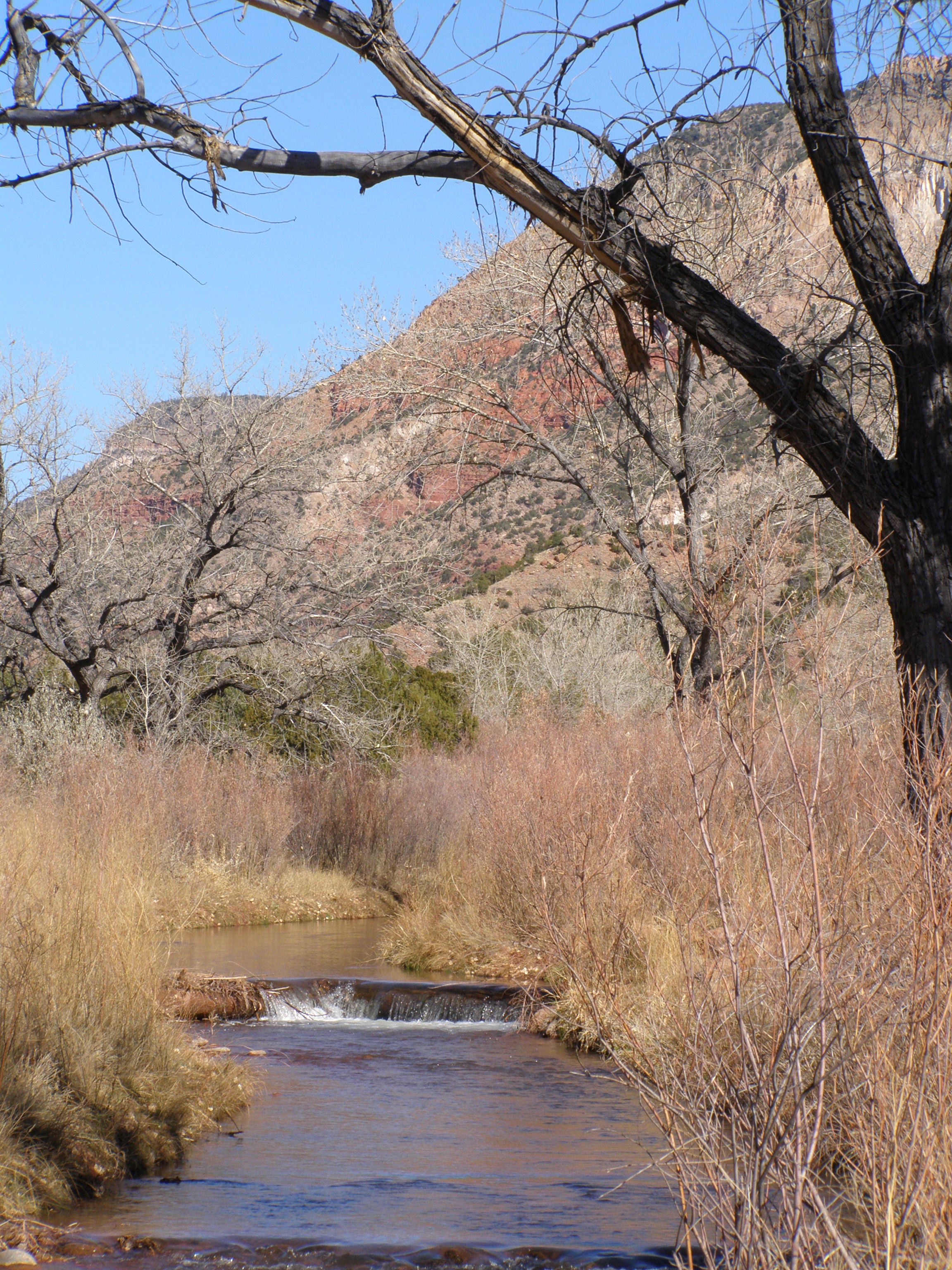
- For non-Albuquerque readers, the Jemez flows through the Jemez Mountains northwest of Albuquerque. Its confluence with the Rio Grande is ~25 miles (~40km) river miles upstream from Albuquerque.
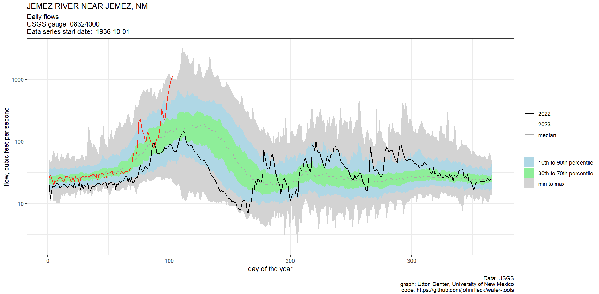
- Measurements here are in cubic feet per second (cfs).
- Flood stage measurements in feet are important for assessing flood impact, while cfs measurements are useful for water volume analysis, which is what I’m most interested in.
- The highest flow since a specific date depends on the measurement used – flood stage in feet versus cfs – as the channel changes. So flood stage “highest since” will differ from cfs flow “highest since”
- The red line on the chart represents daily flow in cfs. Yesterday’s the highest April 13 volume of water since the gage was installed in the 1930s.
- Huge caveat: There are significant gaps in the dataset from spring 1941 to spring 1953. 1942? We’ll never know. So really the best way to characterize this is “a dataset that goes back to the 1950s”.
- Yesterday’s average daily flow was 1,130 cfs, the highest daily flow since 1987, when the flow peaked at 1,440 cfs on April 19 and 20.
- The all-time peak flow on record occurred on April 21, 1958, at 3,160 cfs. Yowza.