
Click the link to read the article on the Steamboat Pilot & Today website (Robert Tann). Here’s an excerpt:
February 7, 2025
House Bill25-1115, a bipartisan proposal from a group of Western Slope lawmakers that would create a new statewide snowpack measurement program using emerging tools like light detection and ranging technology, also known as lidar.
“This is a way for us to plan better in our storage facilities, in our reservoirs,” said House Speaker Julie McCluskie, a Dillon Democrat and a prime sponsor of the bill.
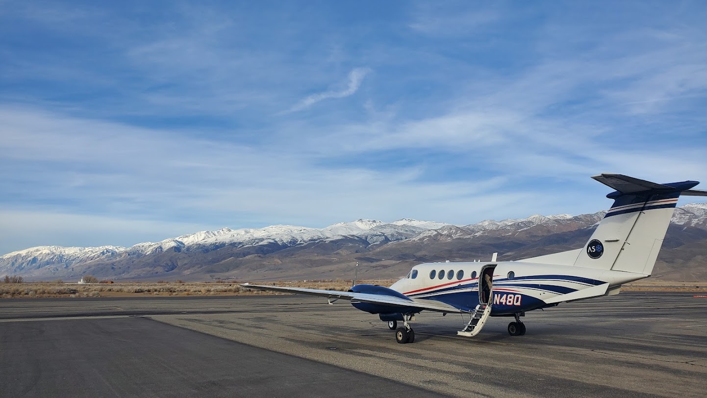
Like radar, but using light, lidar sends beams from a plane or satellite towards the ground. By measuring the time it takes for the light to be reflected, scientists can calculate the depth of an area and create a 3-D model of the landscape. The flights also use a spectrometer to capture infrared images that show where snow is melting fastest. Glenwood Springs-based scientist Jeff Deems and his team pioneered the technology for snowpack mapping with the National Aeronautics and Space Administration in 2013. From those efforts, Deems co-founded Airborne Snow Observatories, a public benefit corporation that contracts with local and regional governments and water providers. Using a fleet of twin-engine planes equipped with lidar, the group runs flights to map river basins across the West. Deems said lidar isn’t replacing SNOTEL, which remains the backbone for snow monitoring by providing a decades-long record of changes in snowpack. Instead, lidar is helping fill in the gaps. While SNOTEL sites pinpoint data at specific locations, lidar provides a full picture of the entire watershed.
“The combination of the two gives us this really powerful 4D picture of a basin-wide snowpack,” Deems said. “We get the three dimensions from airborne surveys and the ‘time’ dimension from the SNOTELs, and that really gives us the best knowledge from which to anticipate and forecast our summer runoff.”