Here’s the release from the Colorado Water Trust (Kate Ryan and Doug Tiefel):
August 30, 2024
The Boulder Creek watershed is set to receive a vital boost in streamflow thanks to landmark water-sharing agreement facilitated by Colorado Water Trust. This agreement will support wildlife, ecosystems, and recreation during the driest months of the year in perpetuity.
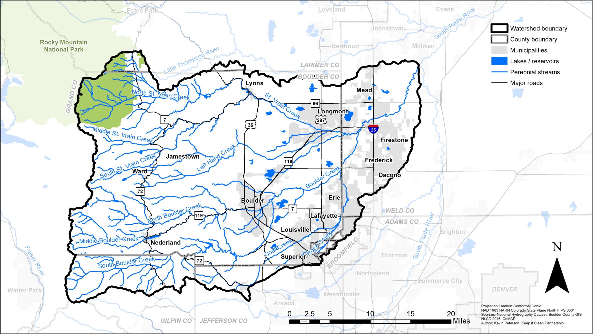
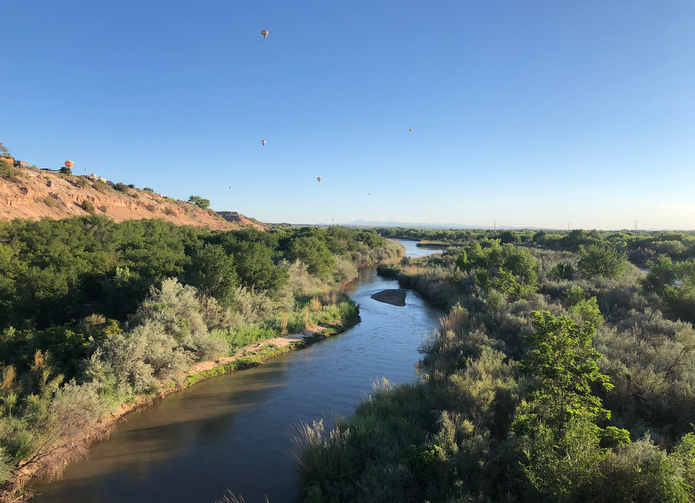
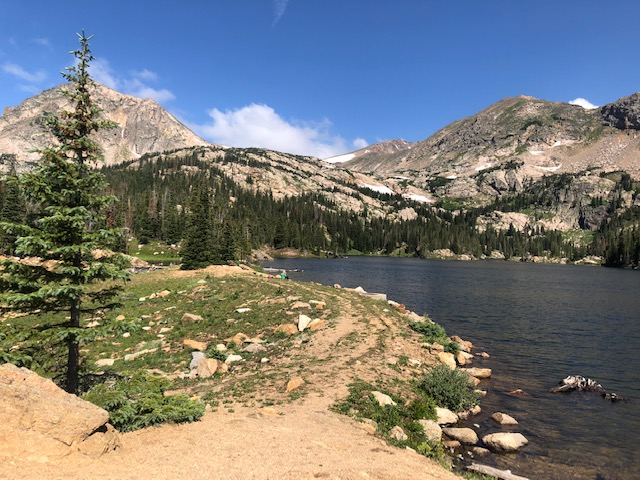
Beginning this fall, water from Jasper Reservoir, located high in the Indian Peaks Wilderness above Nederland, will boost flows in 37 miles of Boulder Creek and its tributaries before being reused below the City of Boulder to help sustain local agriculture. This unique water-sharing agreement is the result of a generous donation of Jasper Reservoir by an anonymous donor to Colorado Water Trust and a subsequent transfer to 37-Mile LLC. The strategic release of water from Jasper Reservoir promises substantial environmental and community benefits for the Boulder Creek watershed and its residents and highlights the potential for collaborative multi-benefit solutions to enhance water resources and protect vital ecosystems in the face of climate change and ongoing development pressures.
On August 29, Colorado Water Trust accepted the donation of Jasper Reservoir in the Indian Peaks Wilderness Area from an anonymous donor. Executing on several years of careful planning, Colorado Water Trust immediately conveyed the reservoir to Doug Tiefel of 37-Mile LLC with a set of restrictive covenants that permanently protects public access to Jasper Reservoir and optimizes the environmental benefits of Jasper Reservoir water in the Boulder Creek system.

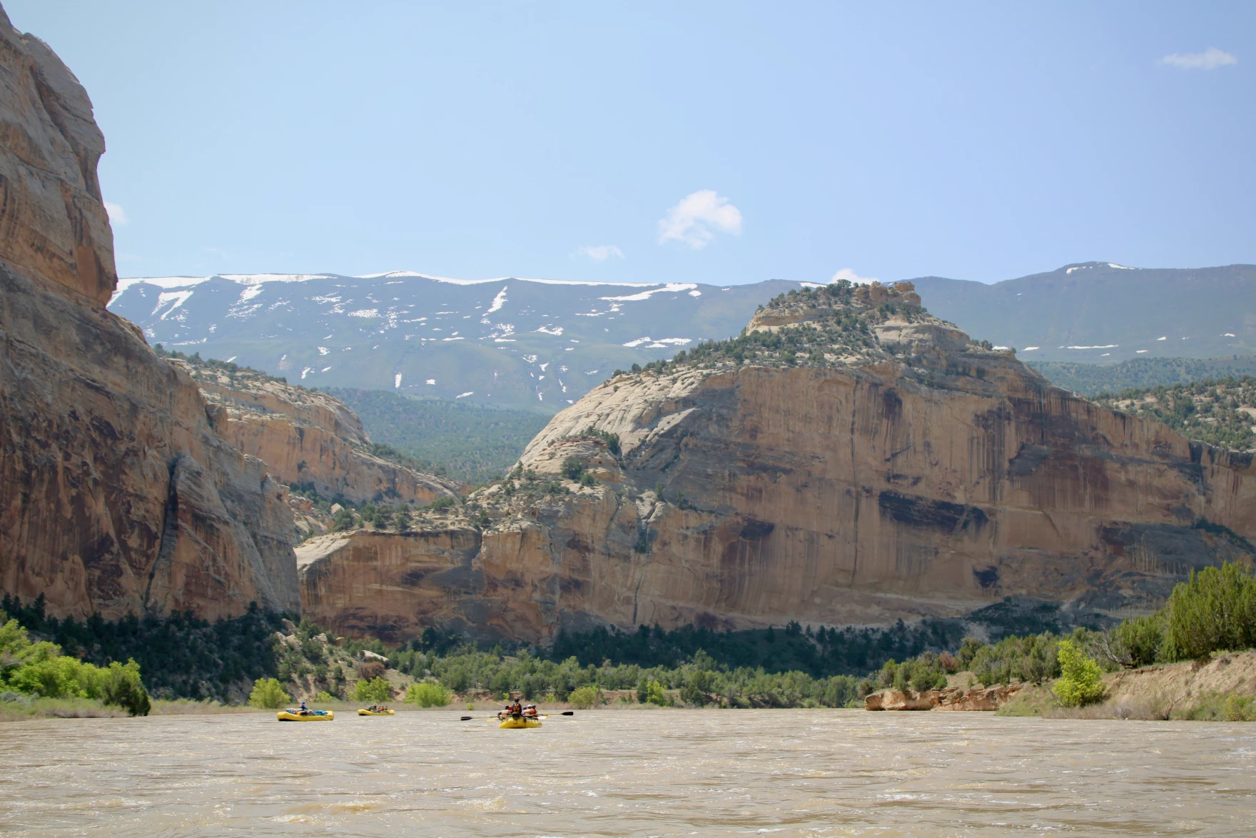
This fall, 37-Mile LLC will begin releasing water from Jasper Reservoir into the Boulder Creek system. In most years, late summer and fall are the periods in which Boulder County streamflow drops, and aquatic ecosystems benefit from boosted flows. Water released from Jasper Reservoir will be protected for 37 miles from Jasper Reservoir through the streams that traverse the Indian Peaks Wilderness, the Towns of Eldora and Nederland, and the entirety of Boulder Canyon. This project was several years in the making and showcases the opportunity for cross-industry collaborations that protect our precious Colorado resource from development and keep our water in our rivers through reaches of creeks and rivers in need
of boosted flows.Project History and Backstory:
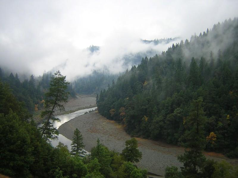
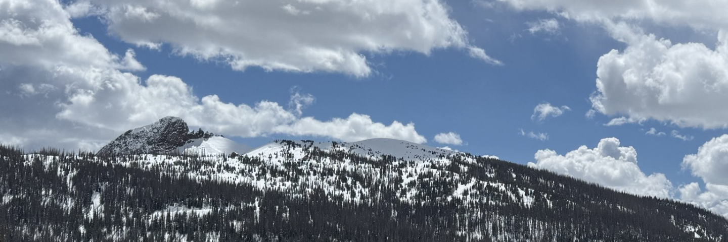
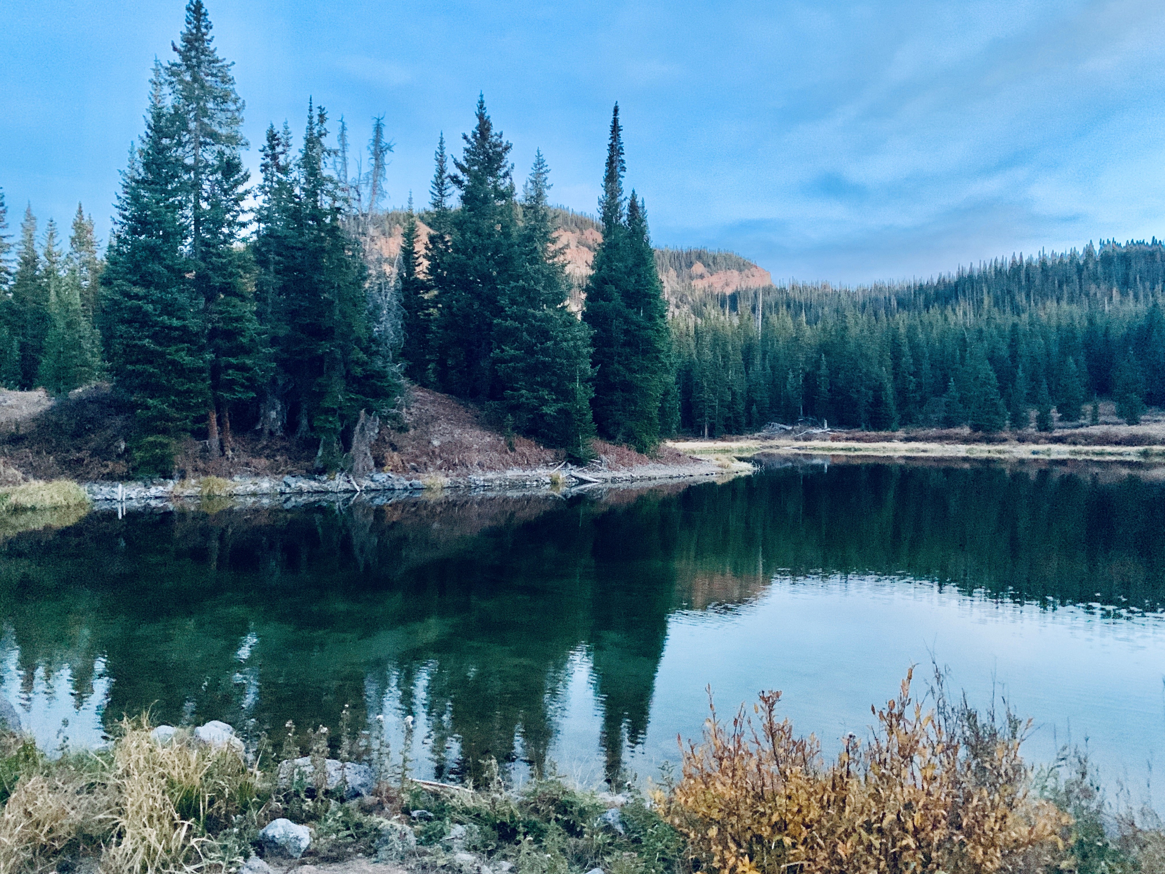
The beautiful Jasper Reservoir located deep in the Indian Peaks Wilderness was built in 1896. It is a valuable source of water for the Boulder Creek watershed, a popular camping and fishing destination and provides sustenance for wildlife in the region. Its protection is vital to the environment and local rivers, from Jasper Creek in the mountain headwaters, all the way down Boulder Canyon. In late summer and early fall, when temperatures are hottest and streamflow drops low, Jasper Reservoir will help prop streamflows back up.
In 1890, nearly a century before Congress designated the Indian Peaks Wilderness as a part of the nation’s Wilderness Preservation system, the Boulder High Line Canal Company constructed Jasper Reservoir. Irrigation companies and the Colorado Power Company operated the reservoir over the next century.
Since the 1980s, Jasper Reservoir has been in a series of private ownerships, having been bought and sold multiple times. In recent years, the City of Boulder leased Jasper Reservoir water from private owners and provided that water to various Boulder County irrigators. During that time, Colorado Water Trust worked with the owners of Jasper Reservoir to craft a plan for its use for environmental improvements and public benefit. As these conversations progressed, the owners generously offered Jasper Reservoir as a donation to Colorado Water Trust.
The nonprofit then sought out a steward for the reservoir with both the capacity and knowledge necessary to manage and maintain the reservoir’s infrastructure. Additionally, Colorado Water Trust sought a partner with a desire to uphold the environmental and community values vital to operating Jasper Reservoir in a way that complements the mission of Colorado Water Trust. Luckily, the nonprofit found such a willing steward and partner in the Tiefel Family.
The Tiefel Family, long-time residents of Colorado, have a deep-rooted connection to the state’s natural landscapes and water resources. Known for their unwavering commitment to environmental preservation, the Tiefel Family has dedicated themselves to protecting Colorado’s vital water ecosystems.

With a passion for ensuring that future generations can enjoy the natural beauty of Boulder Creek and its surrounding areas, the Tiefel Family established 37-Mile LLC. Named after the length of the protected streamflow, 37-Mile LLC is a testament to their mission of safeguarding the region’s water resources from development pressures while promoting sustainable agricultural and irrigation practices.
With the support of the Tiefel Family and 37-Mile LLC, Colorado Water Trust made an arrangement that benefits all involved. After Colorado Water Trust accepted the reservoir donation, 37-Mile LLC entered into a purchase agreement to acquire the reservoir subject to a set of restrictive covenants that will permanently protect public access to the reservoir and ensure that water released from Jasper Reservoir will continue to provide environmental benefits well into the future.
As an additional benefit, once the water has traveled through Boulder Canyon and on to the plains, agricultural producers can then use the water downstream.
Why This Project is Important and Novel:
Colorado Water Trust’s permanent protections safeguard this wetland that provides invaluable wildlife habitat and will remain forever accessible to the public for camping and fishing. The water will continue to improve Boulder Creek streamflow during the driest months of the year. It’s a multi-benefit solution, which is Colorado Water Trust’s trademark, because it supports local water users, protects the environment and ensures all people can continue to enjoy the beauty of the area. The transaction also helps Colorado Water Trust, a small but mighty statewide nonprofit organization, in its mission to restore water to Colorado’s rivers.
Transactions and sales of water occur regularly throughout the state of Colorado. Certain types of water users have outsized purchasing power, which frequently results in water being transferred without much thought to the water’s role in supporting local river environments and community assets. Similar to how land trusts purchase and protect land through conservation easements, Colorado Water Trust is taking a public-interest approach on water-market transactions to protect rivers and streams in Colorado.
This project involving Jasper Reservoir and its water rights is a new concept in water, one that Colorado Water Trust hopes to replicate many times in the future. The biggest challenge is financial, as these are market-based transactions and Colorado Water Trust must make competitive offers to be able to acquire permanent public access, remove development potential, and safeguard environmental benefits.
Luckily, the anonymous donor in this transaction wanted to donate the reservoir and see its water protected, and the Tiefel Family was willing to forego development potential as the new steward of Jasper Reservoir. Their primary interests include securing environmental protections for the reservoir and Boulder Creek system and keeping water in agriculture to avoid “buy and dry” on the Front Range.
Colorado Water Trust is proud to have led the way on this innovative solution to protect our rivers and hopes to participate in more projects like this in the future.
QUOTE FROM COLORADO WATER TRUST:
“The last twenty-five years of my life have been ever so special, with countless hiking and fishing trips up to Jasper and in Boulder Canyon. Colorado Water Trust’s work will ensure that my loved-ones and our growing community continue to enjoy Jasper’s epic summer views and that we can save streamflow in the Boulder Creek watershed, all the way from the mountains to the City of Boulder.” -Kate Ryan, Colorado Water Trust
QUOTE FROM DOUG TIEFEL:
“Our stewardship of Jasper Reservoir aligns with our broader vision of environmental conservation and community enrichment. The family is honored to partner with the Colorado Water Trust to ensure that the reservoir’s water continues to benefit the local ecosystems and communities, reinforcing our legacy of environmental responsibility.” -Doug Tiefel, 37-Mile LLC