
From the Glenwood Springs Post Independent (Hannah Holm):
The high water frothing through the Grand Valley this spring is a sharp contrast to conditions in June last year, when there was barely enough water to float a boat on the Colorado River between Palisade and the confluence with the Gunnison.
The high water has brought hazardous floating conditions — be careful out there — and submerged some sections of the Colorado Riverfront Trail, but it has also brought smiles to the faces of kayakers, irrigators, and the folks in charge of efforts to recover four species of endangered fish that reside in these waters. And downstream, Lake Powell is rising at the rate of one foot per day, easing worries that the reservoir could soon drop below the level necessary to generate electricity at Glen Canyon Dam.
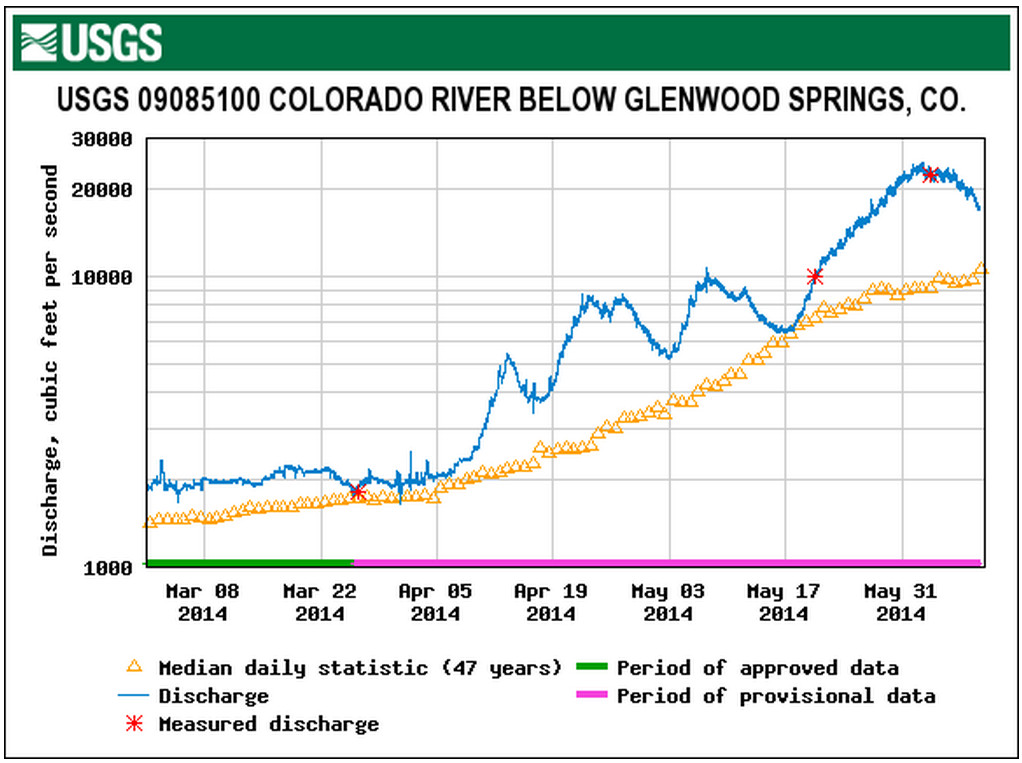
The Colorado River at the gauge near Cameo in DeBeque Canyon crested at over 25,000 cubic feet per second (cfs) on June 2-3, and was still running well above average on June 10 at 16,400 cfs. It’s not advisable to brave these flows and associated floating debris on an air mattress, but with a proper boat, life jacket and an experienced guide, great adventures can be had.
When the Cameo gauge surpasses 20,000 cfs, the “Big Sur” wave forms at the old Orchard Mesa Irrigation District diversion in the canyon, providing a legendary, if temporary, playground for kayakers and surfers. The last time the wave formed was in 2011, and the last time before that was rumored to be in 1997. It’s gone now, but if the warm “El Niño” currents in the Pacific Ocean bring us another wet winter it could be back next year.
The high peak flows were partly a result of an unusually generous snowpack in the upper reaches of the Colorado Basin and partly a result of coordinated reservoir releases to improve habitat for endangered fish. These fish need to have the floodplain inundated periodically to create good spawning habitat.
The Gunnison River at Whitewater, just upstream from Grand Junction, peaked at 12,900 cfs on June 6. The higher than average peak flows were largely due to higher than usual releases out of Blue Mesa and the other two dams in the Aspinall Unit. The Bureau of Reclamation delayed the high releases to avoid the flooding that could occur if both the Colorado and Gunnison rivers crested in Grand Junction at the same time.
During peak releases from the Aspinall unit, all four gates on the Morrow Point dam, the middle dam in the trio, were opened for the first time since the record flood year of 1984. The high releases were made under a 2012 modification to the unit’s operating rules that increases release requirements in wet years to benefit endangered fish habitat.
The peak flow at Whitewater was a bit below the 14,350 cfs target, but the Bureau of Reclamation will still try to attain the related goal of maintaining flows at Whitewater above 8,070 cfs for 40 consecutive days. Flows first hit this target on May 30. Gunnison River flows at Whitewater were still at 10,900 cfs on June 10.
While we play in our rivers and local irrigators enjoy a respite from worries about shortages, the Southwest as a whole remains in a precarious water position. Downstream, almost the entire Colorado River Basin remains in moderate to extreme drought.
From email from Reclamation (Kara Lamb):
I hope everyone had a good weekend. The warm weather and the rain combined for a spike in Big Thompson River runoff flows on Saturday. It looks like the inflow down the Big Thompson River into Lake Estes got up to about 962 cfs early Saturday morning. Outflow through Olympus Dam to the canyon bumped up some on Saturday and Sunday–the average outflow to the canyon on Sunday was 316 cfs. But, today, the river has slowed down.
Outflow through Olympus Dam to the canyon is now about 119 cfs.
If you check the gage, you might notice the small diamond shapes that indicate the 84-year average flow for this time of year. The 316 cfs we hit over the weekend matched that average. We’ve now dropped back down again. I think the reason for the drop is we saw the peak of runoff on the Big Thompson River come a little early this year, over the weekend of May 31-June 1. That weekend, inflows to Lake Estes peaked at 1580 cfs and outflow to the canyon got up to 1000 cfs for an hour or two. We’ve pretty much seen a steady decline since then.
We are still returning about 90 cfs of river water to the Big Thompson River using the concrete chute at the canyon mouth.
We’re anticipating the outflow from Olympus to the canyon to stay in the 120 cfs range and the canyon mouth chute to stay around 90 cfs through most of this week; so, not a lot of change.
What is changing is that as the river drops down, we’ll start bringing more water over from the West Slope via the Alva B. Adams Tunnel. Water imported through the tunnel is Colorado-Big Thompson Project water. It is used to generate hydro-electric power at both Marys and the Estes powerplants in Estes Park, then is recollected at Olympus Dam and sent through Olympus Tunnel to the rest of the project. C-BT water will generate power at Pole Hill and Flatiron powerplants and also be pumped up to Carter Lake.
Carter Lake is filling for the second time this season. It has gained a foot in elevation since Friday and is now 96% full.
Pinewood Reservoir, between Lake Estes and Carter Lake, continues to operate typically for this time of year. It fluctuates with power generation, between 70-85% full.
From email from Reclamation (Kara Lamb):
Just a quick note to let you know where the Fryingpan-Arkansas Project stands.
Ruedi Reservoir is currently releasing about 205 cfs. The Ruedi Dam gage is reading around 237 cfs because another 30 or so cfs is from the Rocky Fork. The reservoir is about 94% full and still rising. We will try to stay near this release rate until the reservoir is full. Ruedi is anticipated to fill before the end of the month, probably a little sooner.
Releases from Sugarloaf Dam at Turquoise Reservoir to Lake Fork Creek were cut back today by 25 cfs. The current release is now about 104 cfs, 80 cfs of that being native runoff flow. Turquoise’s water level elevation has come up considerably in the last two weeks. It is now almost 70% full, not quite, but almost.
Runoff down Lake Creek to Twin Lakes has also decreased. The release from the dam to Lake Creek and the Arkansas River is currently around 663 cfs. Twin is almost 80% full.
Meanwhile, Pueblo Reservoir has maintained a total storage content of about 60% for most of runoff, having hit its highest water level elevation for the season back in May. Please keep in mind that 60% of full at Pueblo is still a decent water level elevation because part of what is not filled in the reservoir is the flood control pool. It’s good for the flood control pool to be empty!
As of today, we’ve moved roughly 70% of the the Fry-Ark’s forecasted imports from the West Slope into Turquoise Reservoir via the Boustead Tunnel.
Weekly Roaring Fork Watershed stream flow report http://t.co/zF2nTDVgHT http://t.co/gAfE9IcgMX
— RoaringFkConservancy (@rfconservancy) June 12, 2014