Seven states will negotiate access to what’s left in the river. My job is to represent all of Colorado’s interests.
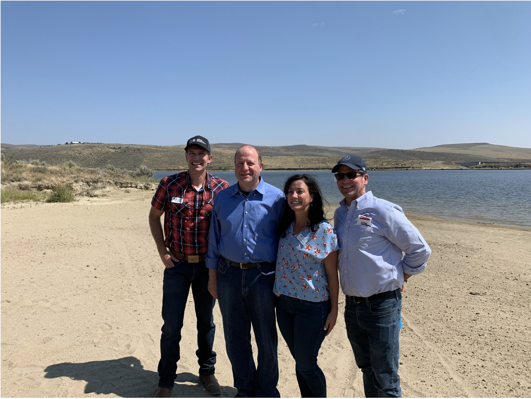
Photo: DNR Director Dan Gibbs, Gov. Polis, CWCB Director Rebecca Mitchell, Colorado River District General Manager Andy Mueller at Elkhead Reservoir. Photo credit: Colorado Water Conservation Board
If you live in Colorado—you get it. We don’t quit when challenged. Whether you live in a city, on a farm or ranch, in a rural town, or somewhere in between—you are part of the dynamic group of people who call Colorado home; people who understand when it comes to protecting Colorado water, specifically the Colorado River’s water, we must rise together to meet the challenge.
From its headwaters in the Rocky Mountains, the Colorado River flows broadly across 1,450 miles of the southwestern United States, changing elevation by a remarkable 10,000 feet. More than 40 million people rely on the Colorado, the nation’s fifth-longest river, for drinking water and energy through hydroelectric power. In addition, the river supports an estimated $25 billion recreational economy and an agricultural economy of about $1.4 trillion a year.
About 100 years ago, the seven states in the Colorado River Basin created an agreement known as the 1922 Colorado River Compact and divided the seven states into two groups, the Upper Basin states (Colorado, New Mexico, Utah and Wyoming), and the Lower Basin states (Arizona, California and Nevada). It was the beginning of these seven states acting cooperatively to take the lead in managing and allocating the Colorado River’s annual flow of water.
Brad Udall: Here’s the latest version of my 4-Panel plot thru Water Year (Oct-Sep) of 2021 of the Colorado River big reservoirs, natural flows, precipitation, and temperature. Data (PRISM) goes back or 1906 (or 1935 for reservoirs.) This updates previous work with @GreatLakesPeck.
Yet, in the early 1900s, it was impossible to foresee that in the 21st Century, the dwindling supply of water due to climatic forces, coupled with growing demand, would result in the present-day low water levels in our nation’s two largest reservoirs.
Extensive drought that began over 20 years ago in 2000—and continues to this day—has been a major factor leading to Lake Powell, on the Utah-Arizona border, reaching its lowest level since being filled. Lake Mead, the nation’s largest reservoir on the Arizona-Nevada border, also is at its lowest level since filling.
The state of the river is important to every Coloradan – all 6 million of us. It is critical to providing for the needs of current and future generations of Coloradans. More broadly, it is critical to the 40 million people who directly rely on the water of the Colorado River.
That is why all seven states agree that working collaboratively is critical to solving our own river management issues through cooperative agreements like the 2019 Colorado River Drought Contingency Plan.
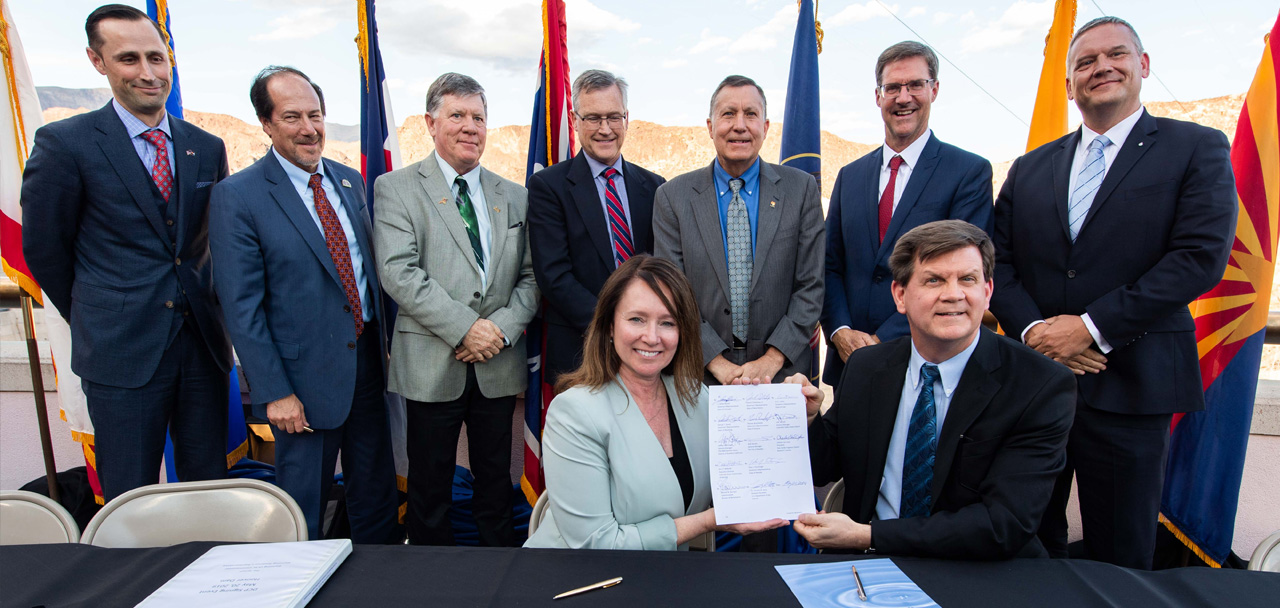
Signing ceremony for the Colorado River upper and lower basin Drought Contingency Plans. Back Row Left to Right: James Eklund (CO), John D’Antonio (NM), Pat Tyrell (WY), Eric Melis (UT), Tom Buschatzke (AZ), Peter Nelson (CA), John Entsminger (NV), Front Row: Brenda Burman (US), and from DOI – Assistant Secretary of Water and Science Tim Petty. Photo credit: Colorado River Water Users Association
The Colorado River Drought Contingency Plan provides that, should Lake Powell’s water levels fall too low, Upper Basin states would release more of the river’s water from other reservoirs, to be stored in Lake Powell as part of the Drought Response Operations Agreement in the Upper Colorado River Basin.
The agreement has been activated and the states now are in planning mode.
Demand management engagement pyramid. Graphic credit: The Colorado Water Conservation Board
Another tool could involve an effective demand-management program, which provides compensation for water users, such as farmers and ranchers and municipalities, to voluntarily conserve water on a temporary basis — without the loss of their ongoing water rights — while allowing for more water to be stored in Lake Powell with greater downstream water flow.
So, where do we stand? The seven Colorado River Basin States soon will be negotiating new interim guidelines for Lake Powell and Lake Mead to coordinate operations of both reservoirs.
As Commissioner representing Colorado’s interest in these negotiations, I am charged with effectively representing and protecting the state’s water and the water users’ interests, while also working collaboratively with the other six states and the federal government. As a state, we will continue leading the effort in conjunction with all the Colorado River Basin states.
From the 2018 Tribal Water Study, this graphic shows the location of the 29 federally-recognized tribes in the Colorado River Basin. Map credit: USBR
Throughout the process, I commit to hearing the voices of tribal nations, key stakeholders, non-governmental organizations, and our fellow Coloradans. To learn how to make your voice heard, visit EngageCWCB.org.
As we continue to face the challenges of climate change, persistent drought, and growing populations, we cannot quit.
Rebecca Mitchell, of Denver, is Colorado commissioner for the Upper Colorado River Commission.
#LakePowell is seen in a November 2019 aerial photo from the nonprofit EcoFlight. Keeping enough water in the reservoir to support downstream users in Arizona, Nevada and California is complicated by climate change, as well as projections that the upper basin states of Colorado, Utah, Wyoming and New Mexico will use as much as 40% more water than current demand. A recent white paper from a lineup of river experts calls those use projections into question. CREDIT: ECOFLIGHT via Aspen Journalism