Click the link to read the article on the Deseret News website (Amy Joi O’Donoghue). Here’s an excerpt:
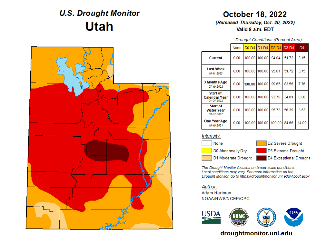
The storm that hit Utah this weekend spread its tendrils statewide, but was particularly generous with the Wasatch Mountains, delivering 25 inches of snow to Alta at last measurement. That amount of precipitation eclipses the monthly average for that area, 24.4 inches, and more snow is on the way Tuesday and Wednesday, with the potential to add close to a foot to the overall total at Alta. Hayden Mayhan, a meteorologist with the National Weather Service in Salt Lake City, worked over the weekend monitoring the conditions across the state, which also included lake effect snow that dumped 7 inches on the Tooele and Erda areas and blanketed the bench areas of places like West Jordan. Mayhan said snow means the water year is off to a good start, but Utah needs to see storms like this every week or two to make a dent in the state’s shriveling water supply in light of the horrific 23-year drought…
“All watersheds are above normal for precipitation at the start of the water year,” Mayhan said, cautioning that could change quickly if the weather hits a dry spell.
“If we get flatlined, the health of those watersheds could start to go below average fairly quickly.”

