The health of our waters is the principal measure of how we live on the land — Luna Leopold
#Colorado water policies will reflect first-ever cuts in Southwest U.S. — The #Greeley Tribune
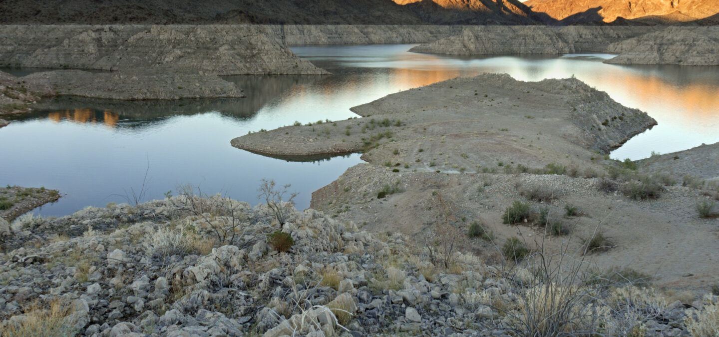
The rising sun illuminates the desert landscape near Channel Island at the head of Virgin Canyon in Lake Mead in the Lake Mead National Recreation Area on the Arizona-Nevada border (Photo from Arizona). Photo by Colleen Miniuk-Sperry via American Rivers
Colorado officials plan to measure use more precisely and pay farmers to send more to Lake Powell
As federal authorities impose the first-ever mandatory cuts in how much water Arizona, Nevada and Mexico take from the Colorado River, the states higher up the river face rising pressure to divert less.
That has Colorado officials embarking on an effort to install measuring devices across the Western Slope to precisely account for just how much farmers, ranchers and cities siphon out. The state is also developing a program to pay farmers, cities and industries to use less of their allotted shares of river water so that more could be banked in Lake Powell to meet the state’s legal downriver obligations to California, Arizona and Nevada.
All of this comes after the summer’s emergency draw-down of Blue Mesa Reservoir near Gunnison and other federal reservoirs to leave more water in the 1,450-mile river.
Monday’s [August 16, 2021] declaration by the U.S. Bureau of Reclamation orders Arizona to cut the water it draws from Lake Mead by 18% (512,000 acre-feet), Nevada by 7% (21,000 acre-feet) and Mexico by 5% (80,000 acre feet). The cuts must begin next year.
The feds also declared that Colorado and its upper basin neighbors (Wyoming, Utah and New Mexico) will be allowed to deliver a little less water next year to Lake Powell, reducing the amount measured at the top of the Grand Canyon from 8.23 million acre-feet to 7.43 million acre-feet. That’s because shrinking mountain snow, drought and heat are depleting headwaters, authorities said.
Brad Udall: Here’s the latest version of my 4-Panel plot thru Water Year (Oct-Sep) of 2019 of the #coriver big reservoirs, natural flows, precipitation, and temperature. Data goes back or 1906 (or 1935 for reservoirs.) This updates previous work with @GreatLakesPeck
Still, average annual flows of water in the Colorado River Basin have decreased by 19% since 2000, federal records show. And water levels in the Lake Powell and Lake Mead have been falling steadily for years as 40 million people tap the river. This year’s record low levels (both about a third full) triggered the declaration.
New projections unveiled by federal hydrologists that the river basin will dry out faster than previously expected may trigger additional cuts before 2025 based on states’ agreed-on operating procedures.
“It’s all connected, one river system, and we’re just in different points of pain,” said Taylor Hawes, Colorado River program director for The Nature Conservancy.
Scott Hummer, water commissioner for District 58 in the Yampa River basin, checks out a recently installed Parshall flume on an irrigation ditch in this August 2020 photo. Compliance with measuring device requirements has been moving more slowly than state engineers would like. CREDIT: HEATHER SACKETT/ASPEN JOURNALISM
Colorado Division of Water Resources director Kevin Rein met with ranchers and farmers around western Colorado last month seeking guidance on how best to install flumes and other devices to measure how much water they divert…
Meanwhile, Colorado Water Conservation Board officials have scheduled a working session this month to consider expansion of pilot program efforts to pay farmers, cities and industries to use less water, which analysts have said could cost the state hundreds of millions.
Board director Rebecca Mitchell, who also represents Colorado in negotiating with other states over the river’s water, said headwaters users “understand the risks and vulnerabilities we face due to severe drought and a potentially hotter and drier future.”