A growing oats and radish mix. Photo by Paul Gross, MSU Extension.
Click here to read the report. Here’s the abstract (Vesh R. Thapa, Rajan Ghimire, and Mark A. Marsalis):
Cover crops can improve soil health by maintaining soil organic carbon (SOC) and nitrogen (N) contents, yet their dynamics in relation to crop yield in a semi-arid cropping system are poorly understood. The main objective of this study was to evaluate the response of diverse winter cover crop species and their mixture on SOC and N fractions and their relationship with sorghum (Sorghum bicolor L. Moench) yield in a winter wheat (Triticum aestivum L.)–sorghum–fallow rotation with limited irrigation management. Cover cropping treatments included pea (Pisum sativum L.), oat (Avena sativa L.), canola (Brassica napus L.), and mixtures of pea+oat (POM), pea+canola (PCM), peat+oat+canola (POCM), and a six-species mixture (SSM) of pea+oat+canola+hairy vetch (Vicia villosa Roth)+forage radish (Raphanus sativus L.)+barley (Hordeum vulgare L.) as cover crops and a fallow. Soil samples were analyzed for residual inorganic N, potentially mineralizable carbon (PMC) and nitrogen (PMN), SOC, and total N. Response of labile inorganic N, PMC, and PMN varied with cover crop treatments. The SOC and total N contents did not differ among treatments but were 20% and 35% higher in 2020 than in 2019, respectively. Sorghum grain yield was 25% and 40% greater with oats than with PCM and canola cover crops in 2019, while it was 33–97% greater with fallow and oats than other treatments in 2020. Oat as a cover crop could improve the resilience of limited-irrigation cropping systems by increasing SOC, soil N, and crop yield in semi-arid regions.
Last month’s federal declaration of an emergency water shortage on the Colorado River barely caused a ripple. But it should have made big waves.
Virtually all of the water flowing in the Colorado River was being consumed during the mid-1950s drought, yet consumption was allowed to increase, largely without constraint. Consumption now exceeds annual river flows in most years; the overdraft is accommodated by pulling water out of storage reservoirs such as Lake Mead. Those reservoirs are being rapidly depleted, placing the communities and businesses dependent upon the river at great risk of water shortages. (Data source: US Bureau of Reclamation. MAF=million acre feet)
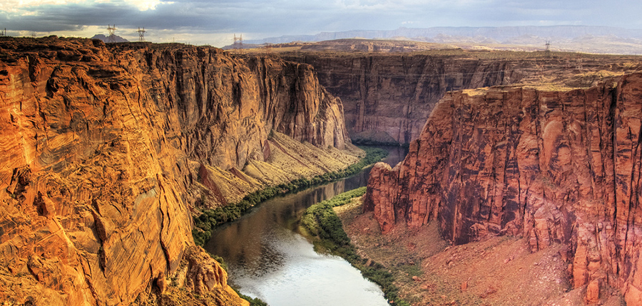
The once-mighty Colorado, which provides water for 40 million people across seven U.S. states as well as half of Denver’s water, is in serious trouble. Choked by chronic overuse, a 22-year drought and the effects of climate change, the river’s flow has declined by nearly 20% this century.
The first-ever emergency declaration, triggered by historically low water levels in the Colorado’s largest reservoir, Lake Mead, means that multiple states face a forced reduction of their water allocation. Under existing agreements, Arizona, Nevada and Mexico next year will see their shares of Colorado River water drop by 18%, 7% and 5%, respectively.
“This is a big deal but not unexpected,” said Tom Cech, co-director of Metropolitan State University of Denver’s One World One Water Center. “The Colorado’s flows have been steadily getting worse for years, and the last time Lake Mead was full was in 1983.”
Flawed formula
Seen through a historical lens, this disaster has been a century in the making. Cech said that’s because the original multistate agreement outlining various states’ rights to Colorado River water use, signed in 1922, was hopelessly optimistic. It badly overestimated the total amount of water flow, with the result that the West has been living beyond its means ever since.
Add to this already-flawed formula the impact of climate change; extensive and often inefficient irrigation practices within urban and agricultural settings; and massive population growth, and Cech said it becomes easy to see how things have gone so wrong.
Colorado River. Photo credit: University of Montana
The numbers are sobering. The Colorado River supports 15 million more people today than it did just 29 years ago. And the fast-warming climate means up to 10% of the water in America’s vast Western reservoirs simply evaporates off of their surfaces each year.
According to the U.S. Bureau of Reclamation, Lake Mead is just 35% full.
Reversing the course
Cech said that while the federal designation won’t directly affect Denver and Colorado in the near term, the state should get ready for more rigorous outdoor watering management policies and restrictions in the future.
“Given our semi-arid climate, we simply use too much water for lawn and landscape irrigation,” he said.
The question of how to slow or even reverse dramatic water losses is a hot topic in statehouses, especially since the decline has happened faster than expected. Some states have already taken proactive measures.
Over the past two decades, Nevada has implemented stout conservation efforts such as watering restrictions, removal of decorative grass and paying residents to replace lawns. These actions have reduced Southern Nevada’s Colorado River water usage by 23% since 2002, even as the population increased by nearly 800,000 residents.
Closer to home, Cech suggested checking out the water management programs of agencies such as Denver Water and Aurora Water, which for years have led the way in reducing per-capita water use.
“There are a number of concrete actions both cities and individuals can take,” he said. “For example, using native xeriscape plants, reducing lawn sizes, installing better irrigation systems and improving soil management.
“All of these measures will help reduce urban water use.”
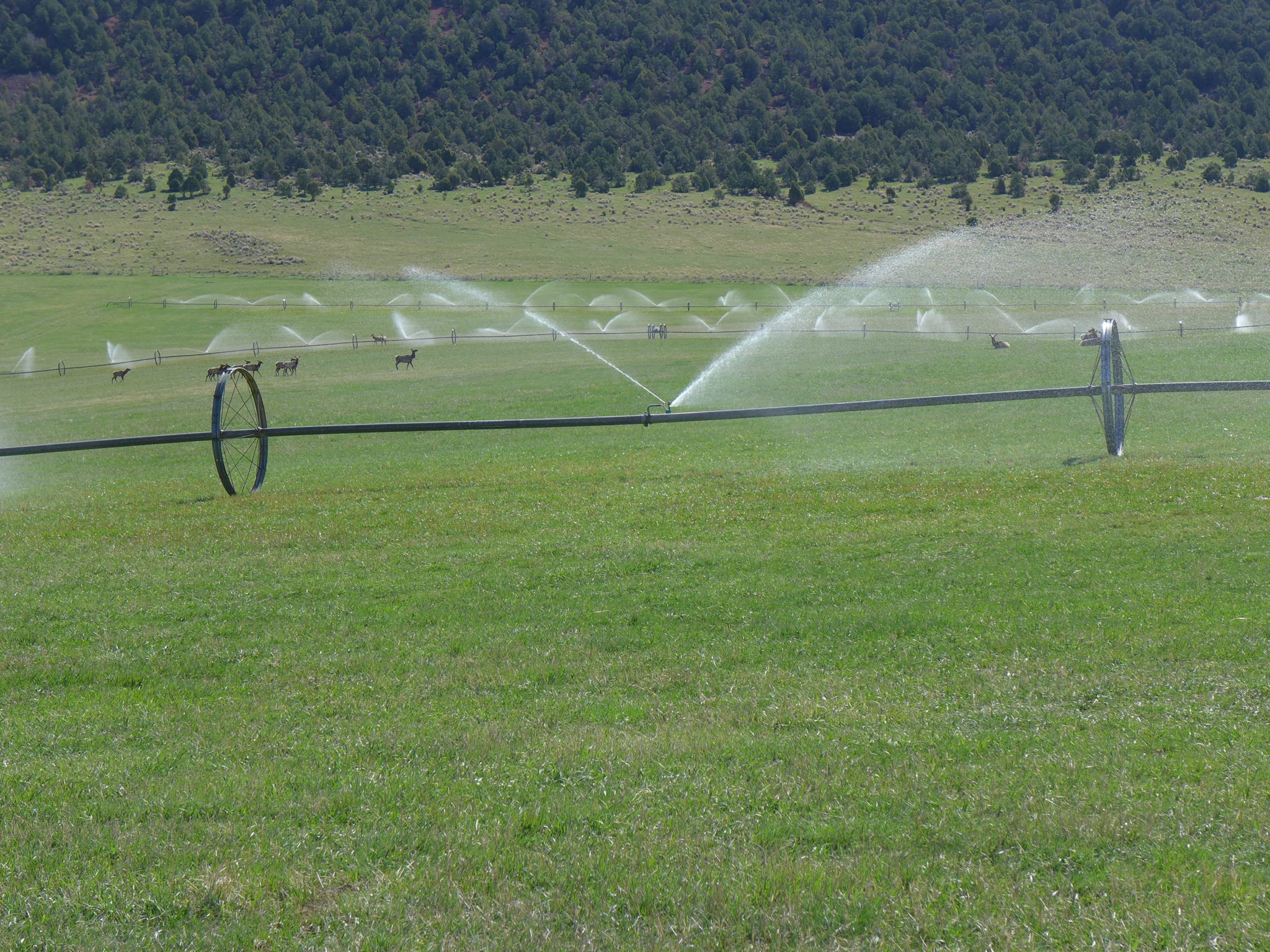
This field near Carbondale is irrigated with water that eventually flows into the Colorado River. The state has wrapped up the first year of an investigation into a program that could pay irrigators to reduce their consumptive use in order to send water downstream to a savings account in Lake Powell. Photo credit: Heather Sackett/Aspen Journalism
Our shared future
While domestic conservation can help, approximately 70% of Colorado River water goes to sustaining crops, rather than serving the direct water needs of people in urban areas.
“The most effective programs will ultimately focus heavily on reducing outdoor irrigation,” Cech said.
And that’s the tricky part. So far, individual states have had to make only minor compromises, but a continued water shortage over the next few years could necessitate some deeply painful and unpopular decisions, Cech said.
Should the West’s shrinking reservoirs, for example, start to approach “dead pool” status (meaning they can no longer generate electricity), legislators would have no choice but to implement disruptive policy changes and large-scale water reductions. That would impact thousands of livelihoods that rely on irrigation water and potentially transform the whole agricultural landscape.
Such a grim scenario, once unthinkable, is now firmly on the table, Cech said.
Ultimately, Cech emphasized that the only way out of this crisis will be to tackle its root causes by focusing on conservation, reducing planet-warming emissions and changing how we live and eat.
The coal-fired Tri-State Generation and Transmission plant in Craig provides much of the power used in Western Colorado, including in Aspen and Pitkin County. Will Toor, executive director of the Colorado Energy Office has a plan to move the state’s electric grid to 100 percent renewable energy by 2040. Photo credit: Brent Gardner-Smith/Aspen Journalism
The global average temperature will rise 2.7 degrees Celsius by century’s end even if all countries meet their promised emissions cuts, a rise that is likely to worsen extreme wildfires, droughts and floods, the United Nations said in a report on Friday.
That level of warming, measured against preindustrial levels, is likely to increase the frequency of deadly heat waves and threaten coastal cities with rising sea levels, the country-by-country analysis concluded.
The United Nations Secretary General António Guterres said it shows “the world is on a catastrophic pathway.”
Perhaps most starkly, the new report displayed the large gap between what the scientific consensus urges world leaders to do and what those leaders have been willing to do so far. Emissions of planet-warming gases are poised to grow by 16 percent during this decade compared with 2010 levels, even as the latest scientific research indicates that they need to decrease by at least a quarter by 2030 to avert the worst impacts of global warming.
Mr. Guterres is likely to drive home the sense of urgency next week when the world’s presidents and prime ministers gather for the annual meeting of the United Nations General Assembly. It will continue to loom over the meeting of the 20 largest economies, known as the Group of 20, at their gathering in Rome in late October, and then be the focus of the United Nations-led international climate talks in November in Scotland.
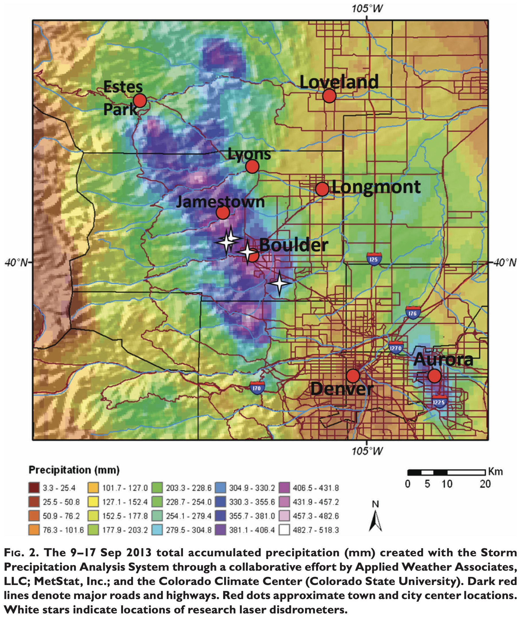
Flood damage Big Thompson Canyon September 2013 — photo via Northern Water
FromThe Fort Collins Coloradoan (Miles Blumhardt):
Eight years ago this week, Colorado experienced one of its worst natural disasters when a week of rain flooded 20 counties, caused nearly $4 billion in damages, killed nine people and destroyed more than 2,000 homes.
Not only was the devastation staggering, but it marked only the second time in Colorado weather history that such a flood happened in September.
The National Weather Service ranked the 2013 flood its top weather story of the 2010-19 decade…
On Sept. 10, it started raining and didn’t stop for virtually a week, dropping copious amounts of precipitation from the Colorado-Wyoming border to Colorado Springs…
Fort Carson near Colorado Springs set a state record of 11.85 inches of rain in a 24-hour period, according to the National Weather Service. Boulder received 9.08 inches in one day and 18.16 inches in the week, which equates to more than the area’s average precipitation for a year.
Fort Collins reported 5.3 inches, Buckhorn Mountain west of the city 9.87 inches and Estes Park 9.31 inches for the week. For Buckhorn Mountain, 7.62 inches of that rain fell Sept. 11-12…
At one point, [Fort Collins] was cut off with all roads leading in and out impassable, including Interstate 25 where it crosses the Poudre River and the Big Thompson River near Loveland.
The flood is one of the reasons the I-25 bridge over the Poudre River is being raised 8 feet as part of the North I-25 Express Lanes project.
The devastation was staggering:
The flood covered 4,500 square miles, or the size of more than 10 Rocky Mountain National Parks
The damage estimate reached nearly $4 billion
More than 19,000 people were evacuated
26,000 homes were damaged
200 businesses were destroyed and 750 were damaged
200 miles of road were damaged or destroyed, including U.S. Highway 34 in the Big Thompson Canyon
50 major bridges damaged
[…]
Storm pattern over Colorado September 2013 — Graphic/NWS via USA Today
Schumacher said a blocking ridge of high pressure parked over the Pacific Northwest and western Canada prevented other weather patterns from moving into the area.
A low pressure sat stationary in the Four Coroners area drawing up large amounts of tropical moisture and swinging that moisture out east then back west, creating an upslope condition against the foothills and mountains.
It rained early that week but then on the evening of Sept. 11 a weak disturbance coincided with the showers and thunderstorms, resulting in a slow and almost stationary area of heavy rain along the Front Range that lasted through much of Sept. 12.
The rain intensity lightened up, but rain continued through Sept. 16 with many areas of the Front Range receiving 6 to 18 inches of rain over the week.
Schumacher said another anomaly of the storm was at how high of elevation it rained. He said conventional wisdom is that intense rain rarely happens above 7,500 feet because in upslope conditions the moisture is pushing up the mountainsides, running out of moisture as it moves up in elevation.
However, the 2013 storm produced up to 10 inches of rain at 10,000 feet and higher…
Schumacher said the only other September rain that comes close to 2013 was in May of 1938.
South Fork of the Republican River
He said heavy rain flooded the Republican River in eastern Colorado then. In 1938 and even in 1997 when Fort Collins was flooded, rainfall measurements were taken by measuring rain found in buckets, old tires or anything that collected rain, Schumacher said.
Some measurements in 1938 recorded more than 20 inches of rain, but the measurement never became official because the rain was not recorded in a gauge…
For more information about the 2013 flood, read the Bulletin of American Meteorlogical Society [report].