[The North Fork of the Republican River] is one of the only channels in the Republican River basin in Colorado with consistent flows these days.
[Tracy Travis] part-time farmer and school bus driver works here seasonally as a water engineer. His job is to get water flowing from former agriculture irrigation wells north of here “and into a tank which flows over into a 42-inch pipeline that runs about 12 miles down to the river.”
“It’s not a good thing for the people in this area because we’re giving our water up,” Travis said.
There are a lot of mixed feelings about this pipeline among the people who spoke with KUNC. Nebraskan officials see it as a net positive. Ultimately, all agree it must exist. Explaining why requires going back to 1935…
Republican River Flood of May 30, 1935. Photo credit: NWS
Today, the Republican River in Colorado is described as not even “deep enough to drown in.” But in 1935, it flooded and killed over 100 people in Nebraska and around a dozen in Colorado (if not more) — including four of Republican River Water Conservation District Manager Deb Daniel’s relatives…
Up to that point, Colorado, Kansas and Nebraska had managed the river basin’s water within their borders independently.
“There was hardly any irrigation other than surface water irrigation from the rivers themselves and very little in Colorado,” said Yuma County Commissioner and farmer Robin Wiley. “The majority of it was downstream in Kansas and Nebraska.”
After the 1935 flood, the states needed dams and reservoirs to prevent future disasters. The federal government would help build them, but with one condition: the states needed to find a way to manage the river cooperatively.
After three years of negotiations, the Republican River Compact was approved in 1943.
The High Plains Aquifer provides 30 percent of the water used in the nation’s irrigated agriculture. The aquifer runs under South Dakota, Wyoming, Nebraska, Colorado, Kansas, Oklahoma, New Mexico and Texas.
During the three following decades, new technology made it easier to use groundwater. Development of irrigation wells exploded — from around 90,000 in 1949 to over 1 million in 1992 in Nebraska alone — increasing the viability of agriculture “especially in Yuma County, but throughout our entire basin,” Wiley said.
Wiley’s family has farmed here since the 1950s. He says it’s likely that his grandfather and father knew little about the compact, until the now-drained Bonny Reservoir was built right in their “backyard.”
“I think they realized that there was a compact, signed at the time, but no inclination on really how it was going to impact us,” he said.
Even if they had carefully gone through every page of the compact, his predecessors would have missed the part that impacts water users most today — because it wasn’t written in the original document.
The Ogallala aquifer, also referred to as the High Plains aquifer. Source: National Oceanic and Atmospheric Adminstration
“There was no inclination that the groundwater was tied to the surface water,” Wiley said.
If water wasn’t coming directly from the river or the ground immediately around it, Colorado assumed it didn’t affect the amount of water flowing across the border (a primary measurement for compact compliance). That assumption was challenged in 1998, when Kansas sued Nebraska over its groundwater use.
“And then Colorado got dragged into it,” he said. “That brought all this to the head.”
[…]
The state engineer manages multiple (but not all) interstate river compacts in Colorado. Dick Wolfe was in that position for about 10 years, until retiring in 2017.
As water levels dropped, the interstate agreements forced officials and local water users to make many sacrifices, like draining Bonny Reservoir on the river’s South Fork in 2011.
“Folks banded together, (and did), I think, a great job looking at everything they could to try to make the best of a bad situation,” Wolfe said. “But I think all in all, when I reflect back on it, I don’t know if there’s too much more we could have done differently.”
Colorado’s efforts to reduce groundwater use, including an agreement to shut down 25,000 irrigated acres in the basin by the end of this decade, didn’t guarantee the state couldn’t fall out of compliance in the meantime. And around 2007 to 2010, it very nearly did.
The Republican River’s South Fork near Hale, Colorado, with the region’s seemingly endless fields. Credit: Wikimedia Commons/Jeffrey Beall
To heavily simplify the way this compact’s complex math works: water naturally evaporating from Bonny Reservoir made Colorado get less credit for the water it actually sent across the border on the South Fork…
But, out of all the hard decisions made in 24 years of working with water in a state facing river crises in every corner, emptying that reservoir “was the toughest one,” Wolfe said.
The other reason Colorado almost fell out of compliance: quickly dropping North Fork flows.
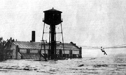
Missouri River Reuse Project via The New York Times
“We were in the early stages, 2007, 2008 looking at what options are out there to get us back into compliance,” he said. Suggestions included importing water from the Missouri River. “Some of them just didn’t prove feasible.”
Ultimately, the decision was made to buy out irrigation wells from a producer and connect them to a pipeline. It drops the water right before a measurement gauge at the Nebraska-Colorado border.
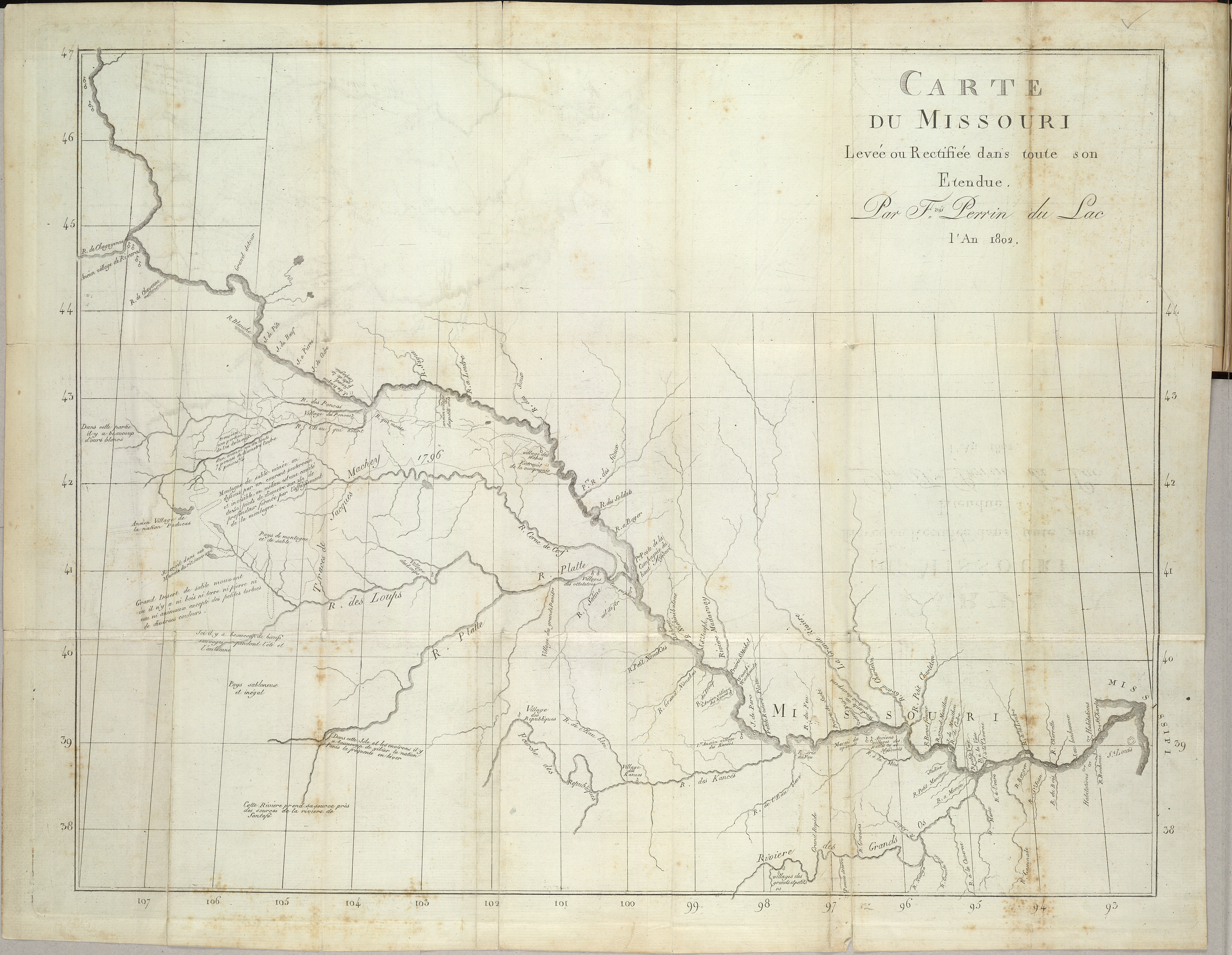
Perrin duLac’s Map of the Banks of the Missouri River: “Carte du Missouri : levee ou rectifiée dans toute son etendue” Published the year before the Louisiana Purchase, this map records late-18th/early-19th century French names of the river branches and located settlements of the Missouri River. By Perrin du Lac, M. (François Marie) – Library of Congress, Public Domain, https://commons.wikimedia.org/w/index.php?curid=54698291
This image was taken during the peak outflow from the Gold King Mine spill at 10:57 a.m. Aug. 5, 2015. The waste-rock dump can be seen eroding on the right. Federal investigators placed blame for the blowout squarely on engineering errors made by the Environmental Protection Agency’s-contracted company in a 132-page report released Thursday [October 22, 2015]
We have just received word that the federal government and the owner of the Sunnyside Mine have agreed to pay a total of $90 million to settle claims relating to the 2015 Gold King Mine blowout. The proposed consent decree will be posted in the Federal Register and opened to public comment for 30 days prior to being finalized.
That consent decree will “resolve all claims, cross-claims, and counterclaims between the United States and Sunnyside Gold Corporation and Kinross Gold Corporation (the “Mining Defendants”) in this multidistrict litigation,” according to the U.S. District Court of New Mexico filing.
The Land Desk will have more details—along with a wonkfest explaining why Sunnyside is even involved with an incident that occurred at a mine it doesn’t own—next week.
The settlement by the numbers:
The “Bonita Peak Mining District” superfund site. Map via the Environmental Protection Agency
$40.95 million
Amount Sunnyside Gold Corp., a subsidiary of Canada-based Kinross Gold, will pay to the federal government under the settlement, all of which will be used to finance cleanup relating to the Bonita Peak Mining District Superfund site.
$4.05 million
Amount Sunnyside Gold will pay to the Colorado Dept. of Health and Environment.
$45 million
Amount the U.S. government, on behalf of federal settling agencies—the Environmental Protection Agency, the Bureau of Land Management, and the U.S. Forest Service—will pay to “appropriate federal accounts” under the settlement.
Prior to mining, snowmelt and rain seep into natural cracks and fractures, eventually emerging as a freshwater spring (usually). Graphic credit: Jonathan Thompson
The Environmental Protection Agency, Justice Department, Department of the Interior, Department Agriculture and state of Colorado announced Friday they have reached a settlement with Sunnyside Gold Corp. and its parent company Kinross Gold Corp. to fund remediation in the Bonita Peak Mining District near Silverton.
In the case of an old-fashioned standoff, the federal government will drop its claims against Sunnyside Gold Corp. and Canadian mining company Kinross Gold Corp. and the two companies will drop their claims against the federal government after the settlement.
Sunnyside Gold Corp. will pay $40.95 million to the federal government and the EPA and another $4.05 million to Colorado, while the United States will contribute $45 million to the cleanup of mining contamination in the area…
The agreement marks the end of Sunnyside Gold Corp.’s remediation work in the Bonita Peak Mining District. The EPA previously ordered the company to undertake a costly investigation of groundwater in the area in March 2018.
The state of Colorado has also released Sunnyside from its reclamation permit obligations, which require the company to clean up its past mining operations and meet the conditions of a reclamation plan approved by the Colorado Department of Reclamation, Mining and Safety, a branch of the state’s Department of Natural Resources.
In addition, the settlement limits the future liability of both Sunnyside Gold Corp. and its parent company…
The settlement was made as a matter of practicality with no admission of wrongdoing or liability, Myers said in an email to The Durango Herald.
Myers noted the federal government’s matching $45 million was a result of the federal government’s own liability for the Gold King Mine spill and damage to the surrounding area…
The Colorado and the federal governments have argued that Sunnyside Gold Corp. is partly at fault and responsible for funding remediation in the Bonita Peak Mining District after placing bulkheads in the 1990s to prevent the drainage of contaminated water.
Bulkheads, like this one at the Red and Bonita Mine, help stop mine water discharges and allow engineers to monitor the mine pool. Credit: EPA.
In legal filings, the state has said the bulkheads backed up waste in surrounding mines, including the Gold King Mine, which was released when EPA contractors accidentally caused a blowout…
The EPA has already spent more than $75 million to remediate the site.
The Bonita Peak Mining District Community Advisory Group is working to define water-quality targets and other environmental standards that will need to be met for the area to be considered decontaminated. Those targets will help guide the work of the EPA…
[Ty Churchwell] said a full cleanup of the site will likely take at least another decade. He pointed to similar Superfund sites near Leadville and Idaho Springs that each took about two decades.
The settlement is a step in that direction.
Silverton, Colo., lies an at elevation of 9,300 feet in San Juan County, and the Gold King Mine is more than 1,000 feet higher in the valley at the left side of the photo. Photo/Allen Best
FromThe Associated Press (James Anderson) via The Colorado Sun:
The agreement must be approved by the U.S. District Court in the District of New Mexico after a 30-day public comment period…
An EPA-led contractor crew was doing excavation work at the entrance to the Gold King Mine, another site in the district not owned by Sunnyside, in August 2015 when it inadvertently breached a debris pile that was holding back wastewater inside the mine.
Settling ponds used to precipitate iron oxide and other suspended materials at the Red and Bonita mine drainage near Gold King mine, shown Aug. 14, 2015. (Photo by Eric Vance/EPA)
An estimated 3 million gallons of wastewater poured out, carrying nearly 540 U.S. tons of metals, mostly iron and aluminum. Rivers in Colorado, New Mexico and Utah were polluted…
Monies will be used for water and soil sampling and to build more waste repositories. The EPA said in a statement Friday it has spent more than $75 million on cleanup work “and expects to continue significant work at the site in the coming years.”
The orange plume flows through the Animas across the Colorado/New Mexico state line the afternoon of Aug. 7, 2015. (Photo by Melissa May, San Juan Soil and Conservation District)
The proposed consent decree follows Sunnyside settlements with New Mexico and the Navajo Nation earlier this year. Sunnyside admits no fault in the agreement.
Cement Creek aerial photo — Jonathan Thompson via Twitter