Click the link to read the article on The Land Desk website (Jonathan P. Thompson):
March 29, 2024
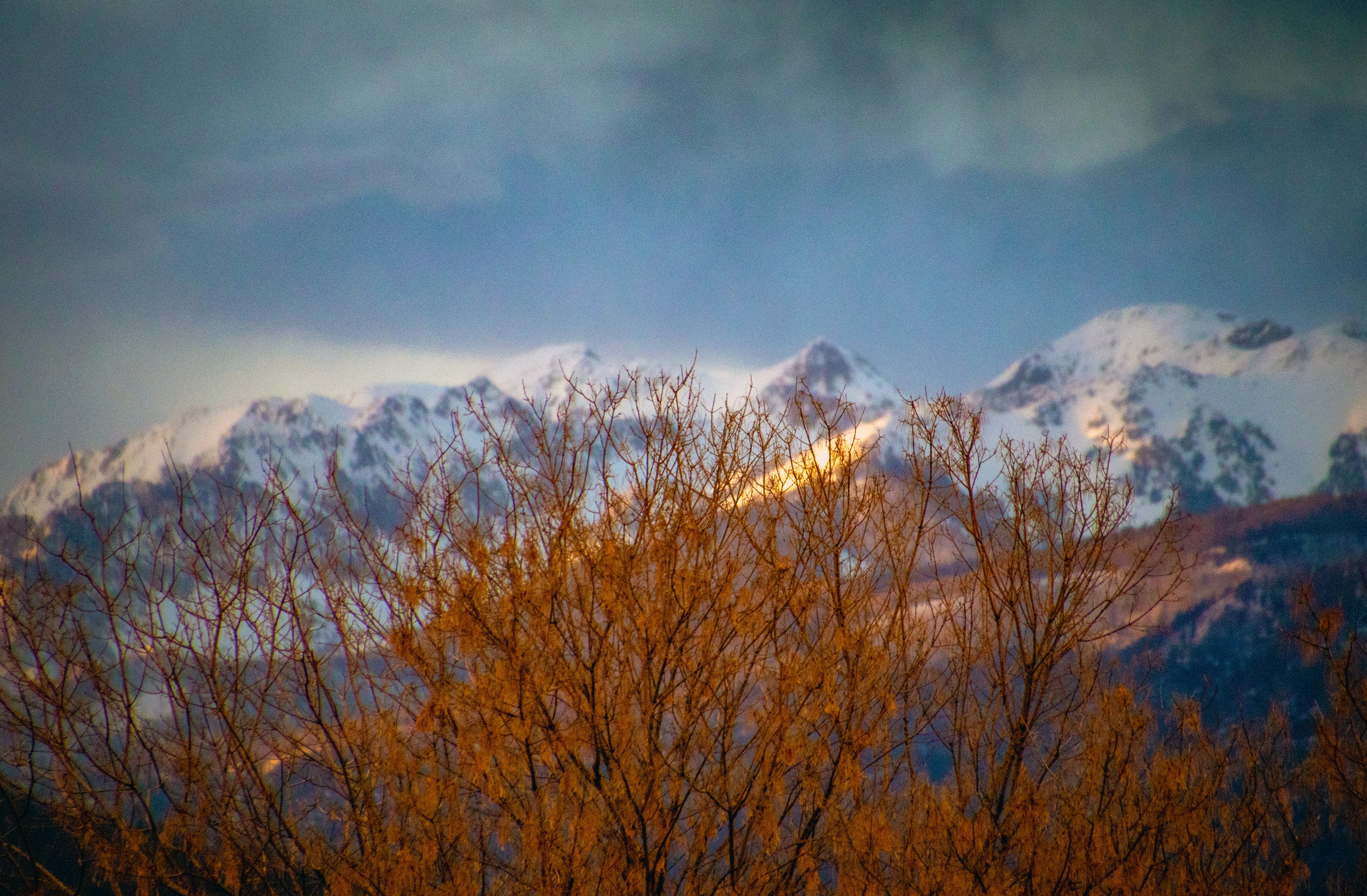
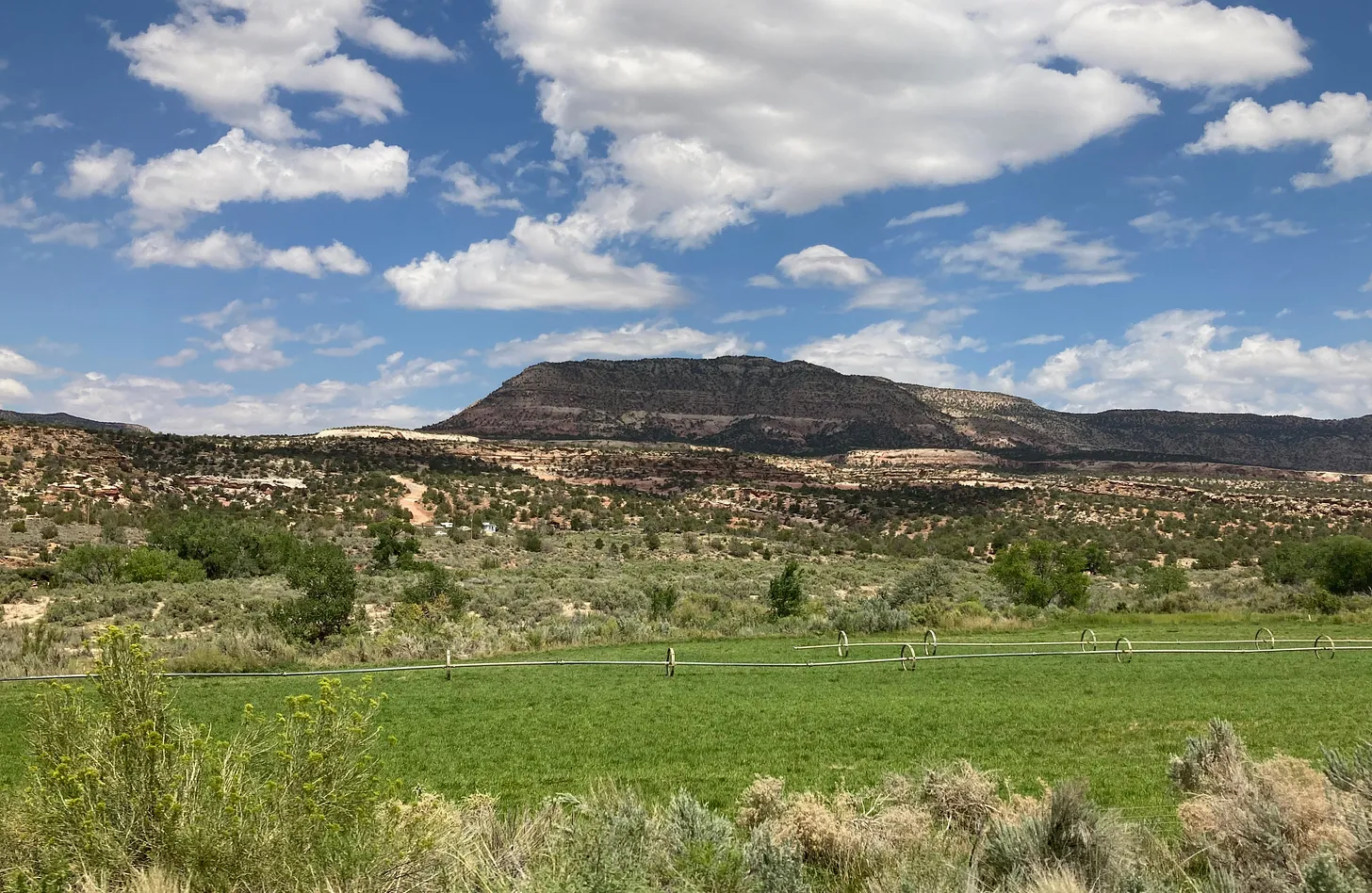
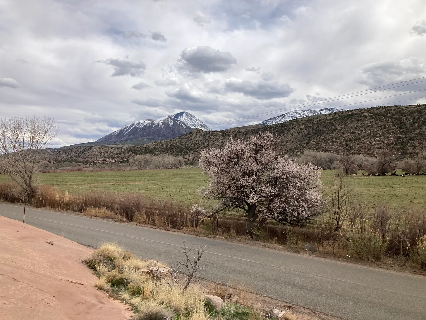
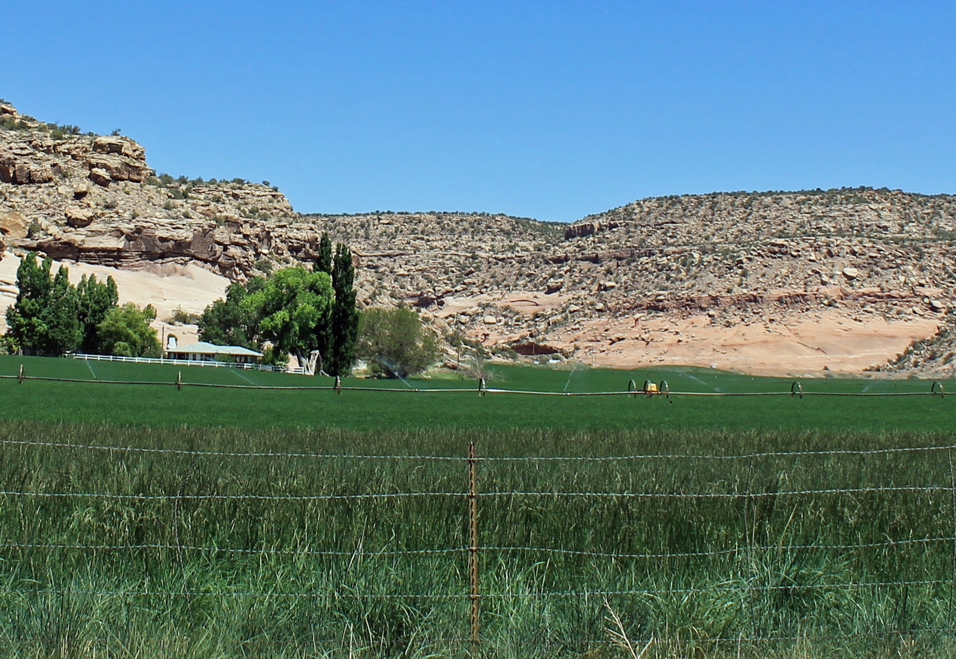
Last week, on my way from Durango to southeastern Utah to get my sagebrush and slickrock fix, I drove through one of my favorite places anywhere: McElmo Canyon. The evening light, filtered through a series of spring squalls moving across the Great Sage Plain, lent a warm glow to the leafless cottonwoods and the red spikes of willow poking out of winter-dry cattails. The ditchcots — the feral apricot trees that cling to the edges of irrigation canals — were in full bloom. The beige fields were beginning to turn green. And newborn calves bounded clumsily among their slow-moving elder cows.
I may have screamed something about how beautiful it all was out the open window of my moving car. Yet I was also struck with a sense of melancholy, for I knew that the scene would not last, and that the McElmo Canyon landscape I so cherish will vanish, or at least change radically, in the not-so-distant future.

It’s not climate change that threatens the place — at least not directly. It’s the fact that so much of what is appealing about McElmo Canyon is essentially artificial. It was made possible by large-scale, inefficient irrigation, by diverting water from the Dolores River and transplanting it into laterals and ditches that then flood alfalfa and hay fields — swatches of emerald green that juxtapose delightfully against sandstone cliffs in the heat of summer. Leaky ditches create mini-riparian zones (and ditchcot groves), bountiful with feral asparagus in the spring, where once were only dryland shrubs; flood-irrigation runoff pools into inadvertent wetlands that nurture cottonwoods and cattails, milkweed, willows, and boxelders.
This phenomenon isn’t unique. It’s repeated in valleys all over the arid West, where a stark dividing line between irrigated and non-irrigated lands is often evident. The settler-colonial project to harness and tame the West’s rivers and streams has not only allowed crops and cities to grow in places they couldn’t before, but it has also altered much of the landscape so thoroughly that many of us can’t even imagine what these valleys looked like in the days before industrial-scale irrigation.
“It’s part of our aesthetic as Westerners,” Brian Richter, a water sustainability expert and lead author of a new accounting of the Colorado River’s waters, said.

Richter’s tabulation confirmed and put more exact numbers to what we already knew: The Colorado River system is overtaxed and it’s shrinking. Since the largest user is agricultural irrigation, that’s whence the biggest cuts must come. Those cuts will indirectly affect McElmo Canyon and landscapes like it.
***
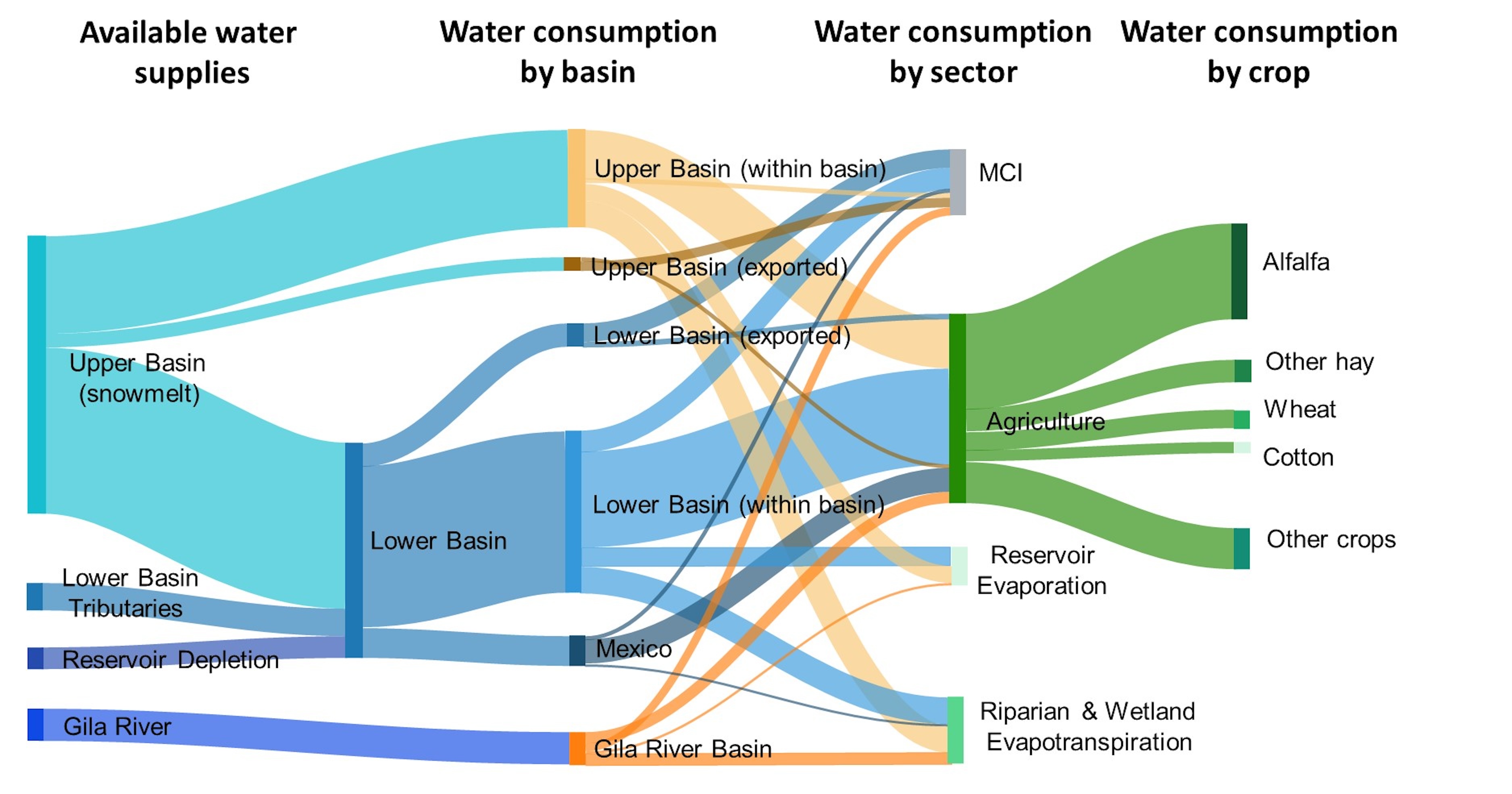
Richter and his colleagues published their first Western water accounting in 2020 under the telling title: “Water Scarcity and Fish Imperilment Driven by Beef Production.” This spring, Richter and his team released an update of sorts, this time focusing entirely on the Colorado River. It’s the first-ever complete accounting of the system, encompassing water use from the Gila River, a tributary in New Mexico and Arizona, and all the consumptive uses of the Colorado’s water, including reservoir evaporation and riparian and wetland evapotranspiration, as well as out-of-basin exports to places like Denver and the Rio Grande watershed, and water use in Mexico.
The findings included:
- Irrigated agriculture is by far the dominant consumer of Colorado River water, accounting for 52% of overall consumption (which includes reservoir evaporation and riparian and wetland evapotranspiration) and 74% of direct human consumption.
- Cattle-feed crops (alfalfa and other hay) consume more Colorado River water than any other crop category, accounting for 32% of all water from the basin; 46% of direct water consumption; and 62% of all agricultural water consumed.
- Cattle-feed crops consume 90% of all the agricultural irrigation water in the Upper Basin — three times more than is consumed by municipal, commercial, and industrial uses combined.
- 19% of the water supports the natural environment through riparian and wetland vegetation evapotranspiration along river courses.
The Colorado River’s users collectively consume far more water than exists in the system and if demand is not balanced with supply, we face all kinds of woe. Most folks probably would like to see desert cities — and ostentatiously profligate water-users, such as golf courses and lawns and swimming pools — bear the burden of those cuts. After all, who values golf over food production?
But as the Land Desk has pointed out numerous times: The math just doesn’t support this solution. The cities and golf courses and even the energy industry, thirsty as they may be, don’t use enough water to make the necessary cuts. The biggest cuts are going to have to come from the biggest users: agriculture, specifically hay, alfalfa, and other forage for beef and dairy cows. “The only dial we have to work with is irrigated farming,” Richter said.
When the dilemma is considered in the abstract, based on a flow chart like the one pictured above, the solution seems straightforward: Cut off the irrigation to those vast swaths of perfect squares and circles of emerald green alfalfa in the southern California and Arizona deserts (and stop eating beef and cheese). It’s simple math. Of course, it’s also severe and would have major economic and cultural ramifications. A friendlier solution is to keep irrigating, but in a more efficient way: Pipe irrigation laterals and canals or line them so they stop leaking; end flood-irrigation to reduce waste (and irrigation runoff); and plant less water-intensive crops.
But any of these solutions would ripple beyond the canals and fields and into the irrigation-created landscapes many of us have grown to love. McElmo Creek likely would run only after snowmelt and monsoon storms, the leaky-ditch created wetlands would fade away, and many of the willows and cattails and cottonwoods and ditchcots that rely on irrigation runoff would perish. A new, more “natural” landscape would later emerge, but the transition period would be choked with invasive weeds and desiccated riparian vegetation.
It’s more than just the look or feel of the land and vegetation that will be affected when less or no water is delivered to the alfalfa and hay fields of the West. Ecosystems will feel the impacts as well. A program paying farmers to stop irrigating some fields in California’s Imperial Valley, for example, has been delayed because it could adversely affect endangered pupfish that have taken up residence in irrigation drains.
This is not an exhortation to continue dumping water on alfalfa fields to preserve the ecosystems and aesthetic that have risen up alongside them. It is merely a lament. To save the West’s streams and rivers, sacrifices must be made. That they are necessary doesn’t make them any less heartbreaking.
🌵 Public Lands 🌲
You know how we’ve been reporting about new management plans for Grand Staircase-Escalante and Bears Ears National Monuments over the past several months? You may not have noticed, but we have NOT been reporting on management plans for Gold Butte and Basin and Range National Monuments in Nevada. Why? Because the Bureau of Land Management hasn’t formulated them, yet, even though it’s been nearly a decade since they were established.
This has set up a sort of nightmare scenario: The areas are receiving national monument-level visitation, but only the usual federal land protections. The result, according to a lawsuit filed by the Center for Biological Diversity recently, is a mess. The lack of toilets or garbage receptacles has led to human waste, toilet paper, and trash scattered around popular sites. Cattle grazing is occurring with little to no management — including by Cliven Bundy’s infamous cows, which continue to graze illegally in Gold Butte — degrading desert tortoise habitat.
The lawsuit seeks to force the agency to establish management plans for both national monuments
***
There’s also good news for national monuments: The U.S. Supreme Court has declined to take up the timber industry’s lawsuit seeking to nullify the 2017 expansion of Cascade-Siskiyou National Monument in Oregon. While the case was focused on a specific national monument, it also challenged the authority of presidents to protect places under the Antiquities Act of 1906.
Three timber advocacy groups sued the federal government shortly after President Obama added 48,000 acres to the existing national monument near the end of his second term. Read more in OPB.
***

Along those same lines: A federal court rejected motorized groups’ lawsuit seeking to block the implementation of a new travel management plan for the Labyrinth Rims/Gemini Bridges area northwest of Moab. That will allow the BLM to move forward with the plan, which closes 317 miles of roads and trails to motorized use on about 468 square miles of public land, and leaves 800 miles of routes open to OHVs.
Parting shot