Click the link to read the article on The Land Desk website (Jonathan P. Thompson):
August 16, 2024
🗺️ Messing with Maps 🧭
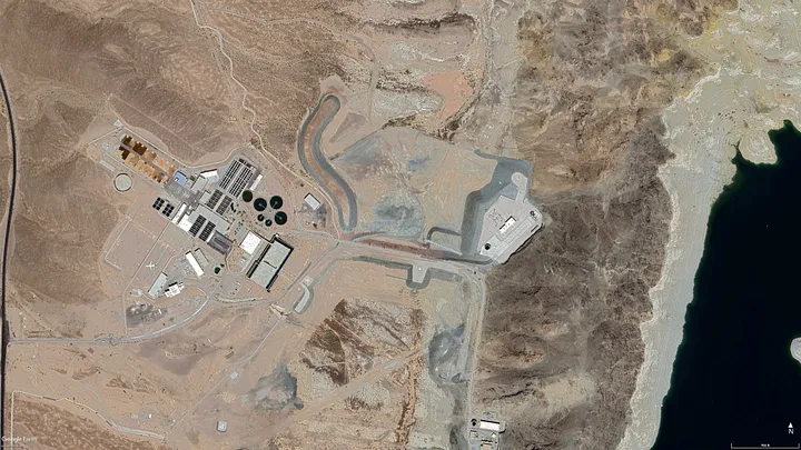
Imagine that you’ve set off for a hike in the desert of western Arizona, hoping to get up high so you can get a view of the juxtaposition of alfalfa fields against the sere, rocky earth. But you somehow get disoriented, the sun reaches its apex and beats down on you, the temperature climbing into the triple digits. The ground temperature becomes so hot you can feel it through the soles of your Hoka running shoes. Your water bottle is empty. Feeling certain you are going to die you pick a direction and stagger in as straight a line as you can manage, rasping for help. And then, just when you’re about to curl up under a rock and surrender, you see, coming straight out of a hillside, a virtual river. It must be a mirage, you think, or a hallucination, you run toward it, climb the fence, and dive into the cool, deep water.
This is not a fantasy scenario. There is, in fact, a place in the western Arizona desert where a lost traveler could stumble upon a giant canal emerging from the earth.


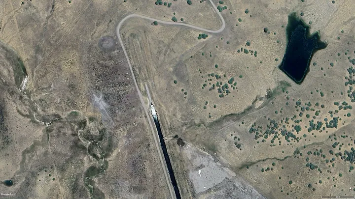
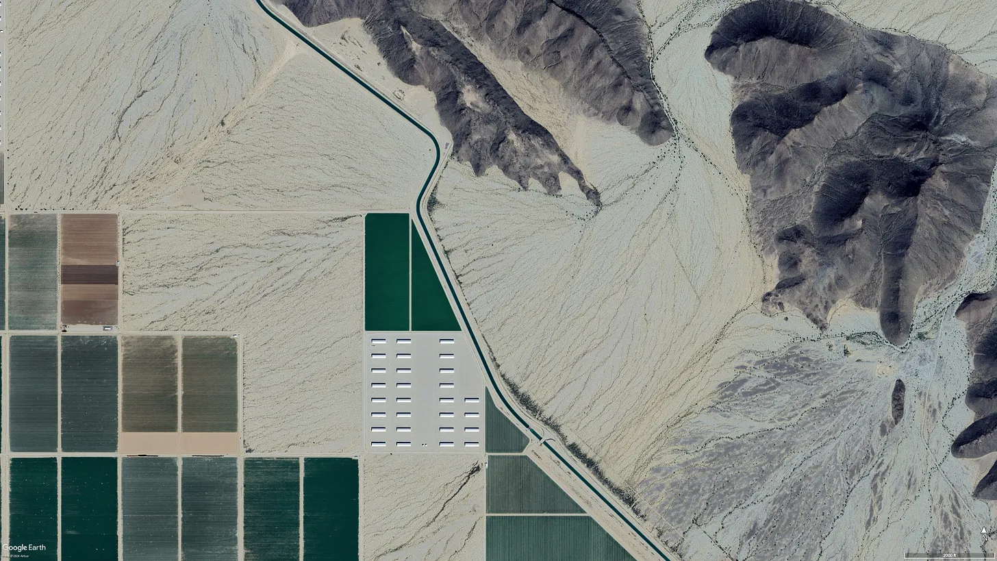
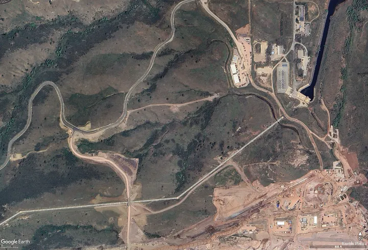
It’s just one of the crazy plumbing projects along the Colorado River and its tributaries. And they can look pretty weird when you stumble upon them in remote places. That’s what happened to me the other day — virtually. I was using Google Earth to chart the 1776 Escalante-Dominguez expedition’s path when, near Chama, I came across a large volume of water emanating from an arid meadow. After some thought I realized it was the outlet for the San Juan-Chama Project that diverts about 90,000 acre-feet of water annually from three tributaries of the San Juan River, sends it through the Continental Divide via a tunnel, and delivers it to Willow Creek and Heron Reservoir. From there it can be released into the Chama River, which runs into the Rio Grande, which is used by Albuquerque and Santa Fe to supplement groundwater and the shrinking Rio Grande.

These things aren’t only unsettling in a visual way, but in a conceptual way as well. One would expect cities and agricultural zones to rise up around where the water is and to grow according to how much water is locally available. Instead, cities rise up in places of limited water and grow as if there were no limits, importing water (and power and other resources) from far away.