Reclamation’s cool water releases sound fishy to these scientists — @AspenJournalism #GrandCanyon

A non-native smallmouth bass on the Green River, caught with a native bluehead sucker in its mouth. The biggest threat to native endangered fish are non-native predators, especially the smallmouth bass. Credit: USFWS. Credit: USFWS

Click the link to read the Runoff on the Aspen Journalism website (Heather Sackett):

August 2, 2024

‘We’re reengineering the river in even crazier ways’

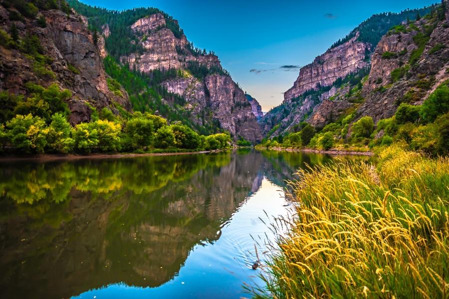
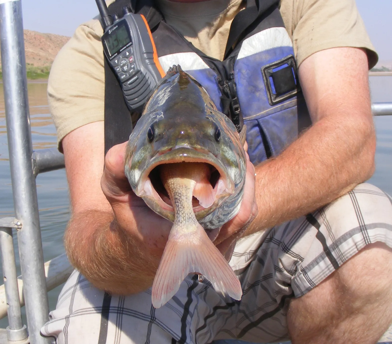
In an effort to prevent smallmouth bass — an invasive, voracious predator that feasts on native fish, including the threatened humpback chub — from establishing populations below Glen Canyon Dam, the U.S. Bureau of Reclamation in early July began releasing colder water from Lake Powell via the river outlet works (which are 100 feet lower in a cooler part of the water column) in addition to the hydropower penstocks. Known as the “Cool Mix Alternative,” Reclamation chose this option with the goal of keeping water temperatures below the dam under 15.5 degrees Celsius (60 degrees Fahrenheit), which is too cold for smallmouth bass to thrive. 

But a report by a group of scientists at the Center for Colorado River Studies at Utah State University says that factors other than temperature should be taken into consideration when trying to manage the nonnative species. The Western Area Power Administration, which sells the hydropower generated by Glen Canyon Dam, funded the participation of two of the four scientists who authored the report.

The report says the nearest population center of humpback chub is 76 river miles downstream in Grand Canyon water that is too turbid for smallmouth bass to proliferate. 

“We think the uncertainty in predictions about smallmouth bass establishment near the downstream humpback chub population centers and their impact on chub populations if smallmouth bass do become established is not adequately recognized,” the report reads.

The report urges water managers to not develop reservoir operation plans that are too prescriptive given the uncertainty about hydrology in the coming years. 

“We think the various management actions being considered to control smallmouth bass recruitment are unlikely to be effective given the modest history of success of similar actions in the last two decades in the Colorado River ecosystem,” the report reads. “We recognize that our report differs from the dominant paradigm related to smallmouth bass in the Colorado River basin and that even suggesting this alternative paradigm will likely create disagreements among scientists and … stakeholders.”

This infographic shows how as Lake Powell water levels decline, warm water containing smallmouth bass gets closer to intakes delivering water through the Glen Canyon Dam to the Grand Canyon downstream. Credit: U.S. Geological Survey

Jack Schmidt, a Colorado River expert, professor and lead author on the report, said that it’s ironic that in order to preserve one of the last remaining native components of the river’s natural ecosystem (humpback chub), water managers are looking to increasingly unnatural actions on the already highly engineered river. Messing with nature only begets more messing. 

“We’re making the river more unnatural, and we’re reengineering the river in even crazier ways to try to protect the remaining elements of the native ecosystem,” Schmidt said. “And although the intentions of that are incredibly well-meant, over the long run, that may not be possible. … At what point does making the river more unnatural just not make sense anymore?”

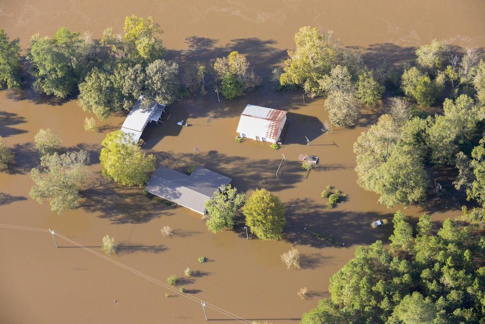
What is another way to ensure that releases out of Lake Powell’s hydropower penstocks are cold enough to prevent the establishment of smallmouth bass? Keep the reservoir more full. But with the effects of steady demand, drought and climate change, that’s easier said than done. 

The back of Glen Canyon Dam circa 1964, not long after the reservoir had begun filling up. Here the water level is above dead pool, meaning water can be released via the river outlets, but it is below minimum power pool, so water cannot yet enter the penstocks to generate electricity. Bureau of Reclamation photo. Annotations: Jonathan P. Thompson

5 things to know about Project 2025 and your clean water: In short, it is very bad for rivers — American Rivers

Photo credit: American Rivers

Click the link to read the article on the American River website (Eric Boucher):

August 7, 2024

With the election season in full swing, you are likely hearing a lot about something called “Project 2025.” Project 2025, a document produced by the conservative think-tank, the Heritage Foundation with the support of 30 other leading conservative organizations, is a suggested blueprint for the next conservative President. Regardless of your politics, there are a number of recommendations that have a serious impact on the environment and rivers and clean water, specifically. On the positive side, there are multiple suggestions for infrastructure investment, which would likely be a good thing for rivers. Unfortunately, the vast majority of the changes the blueprint proposes would have a decidedly negative impact on rivers.

In addition to broad cuts within the Department of Agriculture, the Forest Service, and the Department of Energy, among other agencies, there are specific changes called out that will have significant repercussions for rivers.

1. Within the Environmental Protection Agency (EPA), it suggests eliminating the

  • Office of Environmental Justice and External Civil Rights
  • Office of Enforcement and Compliance Assistance
  • Office of Public Engagement of Environmental Affairs

The plan also recommends to “review grant programs to ensure that taxpayer funds go to organizations focused on tangible environmental improvements free from political affiliation.” Project 2025 also recommends a “day one executive order” to stop all grants to advocacy groups. And on water specifically, Project 2025 recommends codifying a “navigable water” clause to “respect private property rights

What this means for rivers: This means that federal funding currently going to conservation organizations, like American Rivers or those on the ground removing dams to restore rivers, could be held up or eliminated. Weakening federal safeguards for clean water means that it will be up to the states to decide, meaning access to clean water will be depend on the politics of one’s state, not necessarily what is needed for healthy communities or ecosystems. And because rivers don’t stop at state borders, pollution could increase everywhere. Many federal safeguards currently in place to protect rivers and clean water, especially in communities that have traditionally been under-served due to their race, cultural, or income makeup, will no longer be enforced.

2. Project 2025 suggests lifting the ban on fossil fuel extraction on federal lands, which would put countless miles of rivers and streams at risk.

What this means for rivers: Putting climate change concerns aside for the moment, with any new fossil fuel extraction, the risk of accidents, leaks, and spills goes up considerably. And as we have seen numerous times before, one accident can damage a river and clean water supplies for decades. Further, the headwaters of many rivers in the U.S. are found on national public land. More pollution, means more risk to the literal places where rivers are born, and that will have impacts to everyone who uses it as a water source.

3. Project 2025 calls for the dismantling of the National Oceanic and Atmospheric Administration (NOAA) by moving some responsibilities to other agencies and privatizing other duties. The National Marine Fisheries Service would be streamlined and some duties transferred to the Fish and Wildlife Service, and the “America the Beautiful” and “30×30” programs withdrawn.

What this means for rivers: The NOAA website says it best:

“From daily weather forecasts, severe storm warnings, and climate monitoring to fisheries management, coastal restoration and supporting marine commerce, NOAA’s products and services support economic vitality and affect more than one-third of America’s gross domestic product. NOAA’s dedicated scientists use cutting-edge research and high-tech instrumentation to provide citizens, planners, emergency managers and other decision makers with reliable information they need, when they need it.”

Without a central agency monitoring our climate and weather, and informing the many parts of our government that need that data, we run the risk of being unprepared for the next hurricane, storm, flood, or drought. We already know that climate change impacts every drop of water in our lives. Ignoring this fact threatens our safety and way of life on Earth.

Eastern North Carolina. after Hurricane Matthew | U.S. Army National Guard, Capt. Michael Wilber

4. With the Department of Energy (DOE), Project 2025 reinforces support for fossil fuels by encouraging more extraction and streamlining public safeguards.

What this means for rivers: We already know that a reliance on fossil fuels will continue to warm our world and intensify floods and droughts. With more drilling and fewer safeguards, threats to rivers and their wildlife and communities will increase.

5. The plan recommends moving the Federal Emergency Management Agency (FEMA) from the Department of Homeland Security (DHS) to the Department of Interior or Department of Transportation, and suggests phasing out programs like the National Flood Insurance Program (NFIP) to private insurance. Disaster preparedness grants would be changed to only go to states – NGOs, Tribal governments, and localities would need to go through State governments for funds.

What this means for rivers: As floods become more frequent and severe, FEMA and the resources it provides become more and more vital. Moving these critical emergency response tools away from an agency that already has the national infrastructure set up to respond when needed would be unnecessarily putting lives at risk. Eliminating federal support programs in favor of state or — even worse — private, control, assures the same vulnerable communities that historically have suffered the most will continue to be under-served, and will have a harder time recovering from the next disaster.

Interested in doing more for rivers? Download our election guide to better understand the threats rivers face in this election. Or join us right now in taking action for clean water by asking Congress to increase federal protections for all streams and wetlands. This is our chance to make a difference!

Western #Colorado counties support Shoshone water rights purchase — Mesa County #ColoradoRiver #COriver #aridification

Glenwood Canyon. Photo credit: Mesa County

Click the link to read the release on the Mesa County website:

August 2, 2024

Colorado River water is the lifeblood of Mesa County and the western U.S. as a whole, and the protection of this resource is crucial for the future prosperity of our community. For this reason, Commissioners approved a letter to Senators Bennet and Hickenlooper in support of the Colorado River Water Conservation District’s (Colorado River District’s) effort to acquire and permanently protect the Shoshone water rights at their July 30 administrative public hearing. The letter is from the Western District of Colorado Counties, Inc. (CCI), which consists of 16 counties on the Western Slope, including Mesa County.

The Shoshone hydroelectric plant is owned by Xcel Energy and is located alongside the Colorado River in Glenwood Canyon. It produces 15 megawatts of electricity and holds some of the largest and most senior non-consumptive water rights on the river, dating back to 1902. An agreement to transfer ownership of these water rights was signed with Xcel Energy in December 2023 for $98.5 million, and the Colorado River District is currently in the process of securing funds for the transfer. Xcel will continue to own and operate the hydroelectric plant, but full ownership of the non-consumptive Shoshone water rights will transfer to the Colorado River District.

Non-consumptive water can be protected from diversion and allowed to continue flowing at a specific rate for a prescribed benefit, which is especially beneficial for water conservation purposes in drought situations and for ensuring flow rates are maintained to protect endangered species.

Administration and permanent protection of the Shoshone water rights by the Colorado River District will:

  • Maintain Colorado’s agricultural and recreational industries.
  • Maintain and improve water quality.
  • Ensure ample stream flow to maintain ecosystem benefits and support endangered fish species in the river.

This agreement is a critical first step toward permanent protection of the benefits provided by the Shoshone water rights. It is a significant step toward ensuring stable and sustainable water flow for our region’s agricultural, recreational, economic, and ecological needs.

To learn more about the Shoshone Water Right Preservation Coalition and Campaign, visit the website.

Nation hit with record heat, wildfires and Hurricane Beryl in July 2024: U.S. had its 2nd-highest number of year-to-date billion-dollar disasters — NOAA

Click the link to read the article on the NOAA website:

Last month, areas of the U.S. sweltered through record heat and the impacts from raging wildfires, while others experienced the fury of Hurricane Beryl.

Also, through July, the U.S. has endured 19 separate billion-dollar weather and climate disasters — second only to 2023 for the highest amount for the first seven months of the year, according to experts from NOAA’s National Centers for Environmental Information.

Below are more takeaways from NOAA’s latest U.S. monthly climate report:

Climate by the numbers

July 2024

The average July temperature across the contiguous U.S. was 75.7 degrees F (2.1 degrees F above average), ranking as the 11th warmest in the 130-year record. 

Temperatures were above average to record-warm across much of the contiguous U.S. California and New Hampshire had their warmest July on record, with 19 other states seeing their top-10 warmest July on record. 

July precipitation across the U.S. was 3.04 inches – 0.26 of an inch above average – ranking in the wettest third of the historical record.

Precipitation was below average across much of the West, eastern parts of the Ohio Valley to the Mid-Atlantic, southern Florida and across portions of the Plains. West Virginia had its eighth-driest July on record. Conversely, precipitation was above average across much of the South, Southeast, Midwest, Great Lakes and northern New England. Illinois had its seventh wettest July, while North Carolina had its eighth wettest.

Year to date (YTD, January through July 2024)

The YTD average temperature for the contiguous U.S. was 54.4 degrees F (3.2 degrees F above average), ranking as the second-warmest YTD on record. Temperatures were above average across nearly all of the contiguous U.S., while record-warm temperatures were observed in parts of the Northeast, Great Lakes, southern Plains and Mid-Atlantic. New Hampshire and Vermont both saw their warmest January–July period. An additional 25 states had a top-five warmest year-to-date period. All states ranked in the warmest third of the historical record during this period. 

The YTD precipitation total was 20.44 inches, 2.36 inches above average, which ranked 11th -wettest on record. Precipitation was above average across a large portion of the Upper Midwest, Northeast and Deep South, with Rhode Island, Minnesota and Wisconsin each ranking second wettest. Precipitation was below average across parts of the Northwest, northern Plains and west Texas during the January–July period.

A map of the U.S. plotted with 19 weather and climate disasters each costing $1 billion or more that occurred between January and July, 2024. (Image credit: NOAA NCEI)

There were 19 individual billion-dollar weather and climate events across the U.S. during the first seven months of 2024, including: 

  • One tropical cyclone event.
  • One wildfire event.
  • Two winter storm events.
  • 15 severe weather events.

These events resulted in at least 149 fatalities and caused more than $49.6 billion in damages (Consumer Price Index (CPI)-adjusted). Since 1980, when NOAA began tracking these events in the U.S., the nation has experienced 395 separate weather and climate disasters, where overall damages/costs reached or exceeded $1 billion (based on the CPI adjustment to 2024). The total cost of these 395 events exceeds $2.770 trillion.

Other notable highlights from this report

A map of the U.S. plotted with 19 weather and climate disasters each costing $1 billion or more that occurred between January and July, 2024. (Image credit: NOAA NCEI)
  • Beryl barrels into the record books: On July 1, Beryl became the earliest Category 5 hurricane and the second Category 5 on record during the month of July in the Atlantic Ocean.
  • Wildfires scorching the West: The Park Fire, which started July 24, is currently the fourth-largest wildfire in California history, burning more than 400,956 acres.  The Thompson Fire caused more than 13,000 people to evacuate around Oroville, California, from July 2-3.
  • Bringing the heat: An early July heat wave broke records in the West: Palm Springs (124 degrees F on July 5); Las Vegas (120 degrees F on July 7); Redding, California (119 degrees F on July 6); Barstow, California (118 degrees F on July 7 and 8) and Palmdale, California (115 degrees F on July 6.)