

Click the link to read the article on the Big Pivots website (Patricia J. Rettig):
December 2, 2024
Imagine a best-selling, 900-page novel using “a sad, bewildered nothing of a river” as its centerpiece, connecting the earth’s geologic origin and dinosaur age to 1970s rural Colorado.
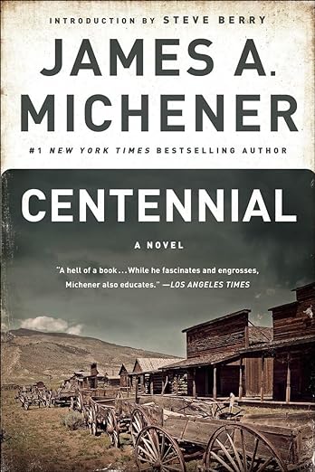
Now imagine that novel becoming a touchstone for its times, yet still relevant today, as our nation approaches its 250th anniversary. The book is James A. Michener’s Centennial, an unlikely novel published a half-century ago. By creating a microcosm of the country, he explained America to itself in anticipation of the 1976 bicentennial.
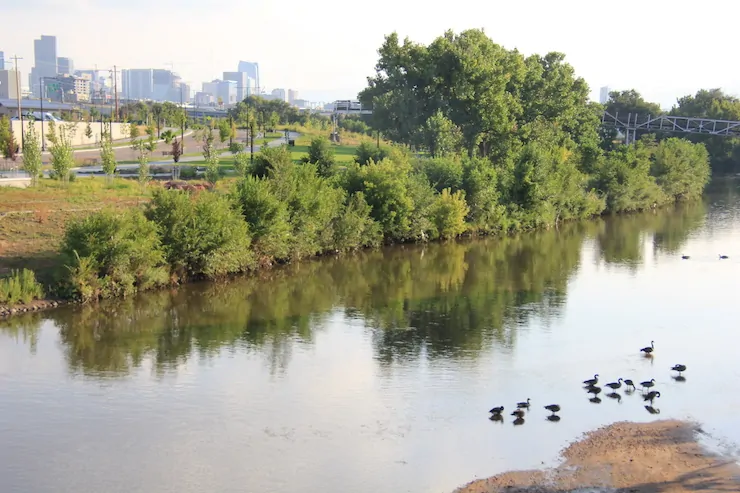
That the Pulitzer-prize winning Michener chose as his landscape the West—and the little-known South Platte River on Colorado’s northeastern plains—is surprising only in that this was his first epic novel related to the U.S. mainland.
But ever since he briefly lived in Greeley, Colorado, in the late 1930s before his writing career began, the winding South Platte River stuck with him. As a young college professor, Michener recognized the wealth of stories resulting from the hardships of people surviving in an arid area.
After Michener’s service on a national bicentennial committee left him frustrated, he decided to return to the Centennial State, Colorado, which gained statehood in 1876. He hoped to tell a tale of the American experience, and in the opening chapter a character states, “If we can make the Platte comprehensible to Americans, we can inspire them with the meaning of this continent.”
Forgoing stereotypical Western stories of railroad builders and farmers’ daughters, Michener fictionalized selected histories of settlement and created relatable characters.
Native Americans, French trappers, Mennonite settlers, farmers of German-Russian descent, English ranchers, Mexican and Japanese laborers—all depended on the South Platte River and its tributaries in the dry, inhospitable land. They also had to depend on each other.
By starting with the land’s formation, Michener depicts every character as an immigrant. He estimates human arrival in the region at about 12,000 years ago, and those Indigenous peoples and their descendants remain present throughout the story. As more people arrived and society evolved, everyone built lives in relationship with the river.
For many, the river provided a pathway to the West. For a few, it revealed golden nuggets, though the real wealth was the water itself.
Yet what Michener presents as progress gradually becomes recognized as unsustainable. The memorable Potato Brumbaugh has not only the innovative idea of irrigating crops but also the radical concept of digging a tunnel under the Rocky Mountains to import water from west of the Continental Divide. When this source is not enough, groundwater pumping increases, with dire consequences.
Such innovation—water-related and otherwise—is important to understand today, but also significant is knowing the history of how communities got built. Michener also shows the conflicts that arose with each wave of newcomers bringing their own ideas about how to live.
He also demonstrates changing attitudes, including acceptance of racial differences and increasing dismay over environmental destruction. His story concludes in the early 1970s, referencing Watergate, international conflict and immigration. Characters face inflationary times and polluted air and water. They know they need to solve the coming water shortages.
Not much is different today.
The key difference is that as Michener’s characters decry the environmental damage caused by their ancestors and neighbors, they also recognize they need to know their history and honor their longstanding connections to the land and water.
This is what modern humanity has forgotten. Through the innovations of pipes, plumbing and chemical treatments, we have relegated our rivers to the background, as if they were merely an unending supply of water at our command. We have lost our connections to natural resources, to history, to each other.

As we now prepare for our 250th anniversary, Centennial, both the novel and the groundbreaking 26-hour television miniseries airing from 1978 to 1980, reminds us of the country’s strengths.
Nearly 900 pages in, a character skips a Colorado-Nebraska college football game to survey the South Platte by plane. As he nears the Nebraska state line, he says, “No one in Colorado will believe it, but this river is more exciting than football.”
Imagine if more people, in all states, felt the same way. Patricia J. Rettig is a contributor to Writers on the Range, writersontherange.org, an independent nonprofit dedicated to spurring lively conversation about the West. She is the archivist for the Water Resources Archive at the Colorado State University Libraries


