The health of our waters is the principal measure of how we live on the land — Luna Leopold
Why #Wildfire Burn Scars Become #FlashFlood Zones — And What To Do If You’re In One — #Colorado Public Radio
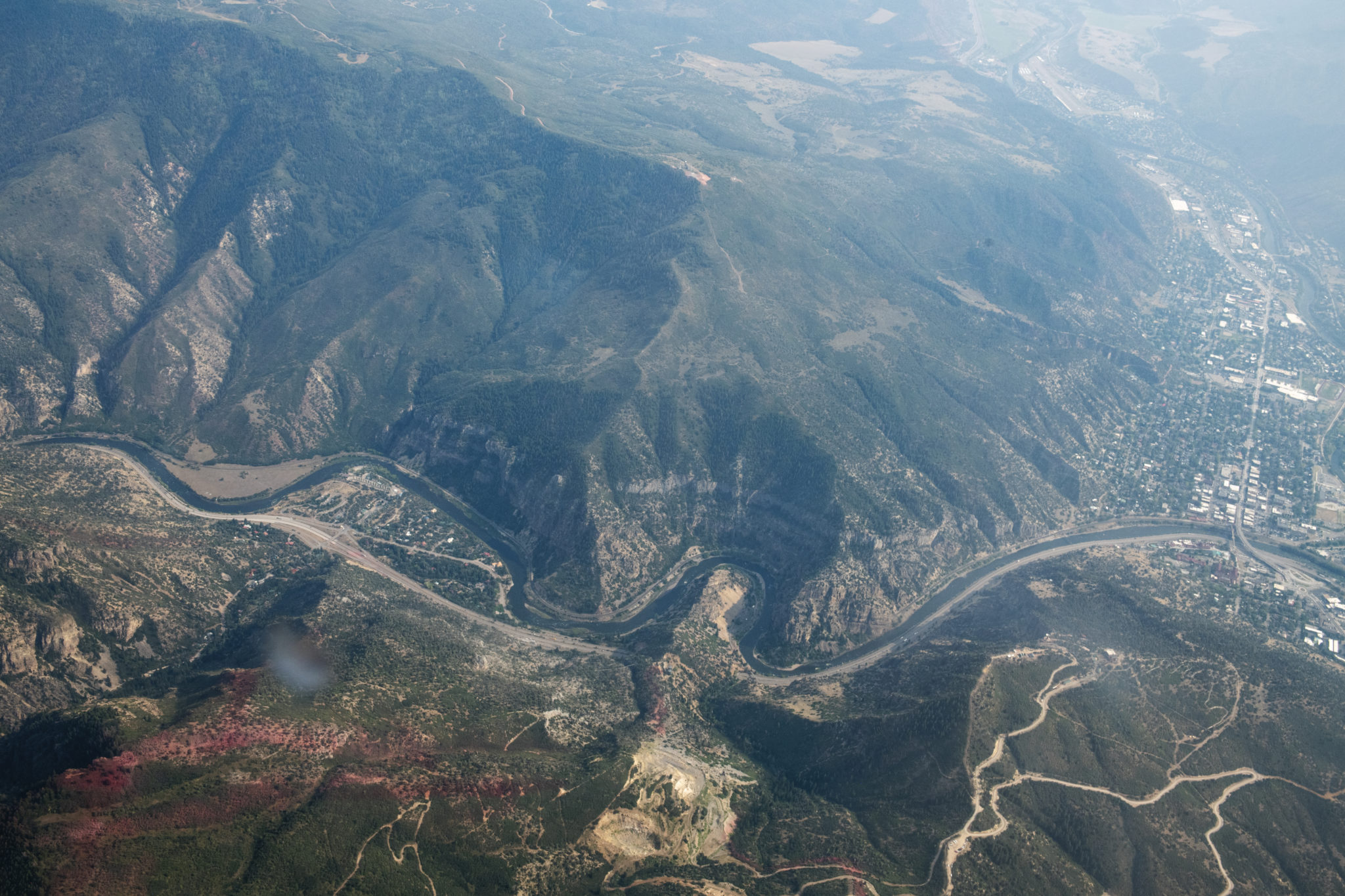
The Colorado River divides Glenwood Canyon slurry on the ridge from the Grizzly Creek Fire on Monday, August 24, 2020. (Kelsey Brunner/The Aspen Times via Aspen Journalism)
FromColorado Public Radio (Michael Elizabeth Sakas):
The burn scars around places like Glenwood Canyon, Estes Park and Grand Lake are now dangerous in a different way: Areas downhill and downstream from these burned regions are now highly susceptible to flash flooding.
“A third of an inch of rain in 15 minutes is all it’s going to take to start the low-end part of that flooding,” said Greg Hanson, a meteorologist with the National Weather Service in Boulder.
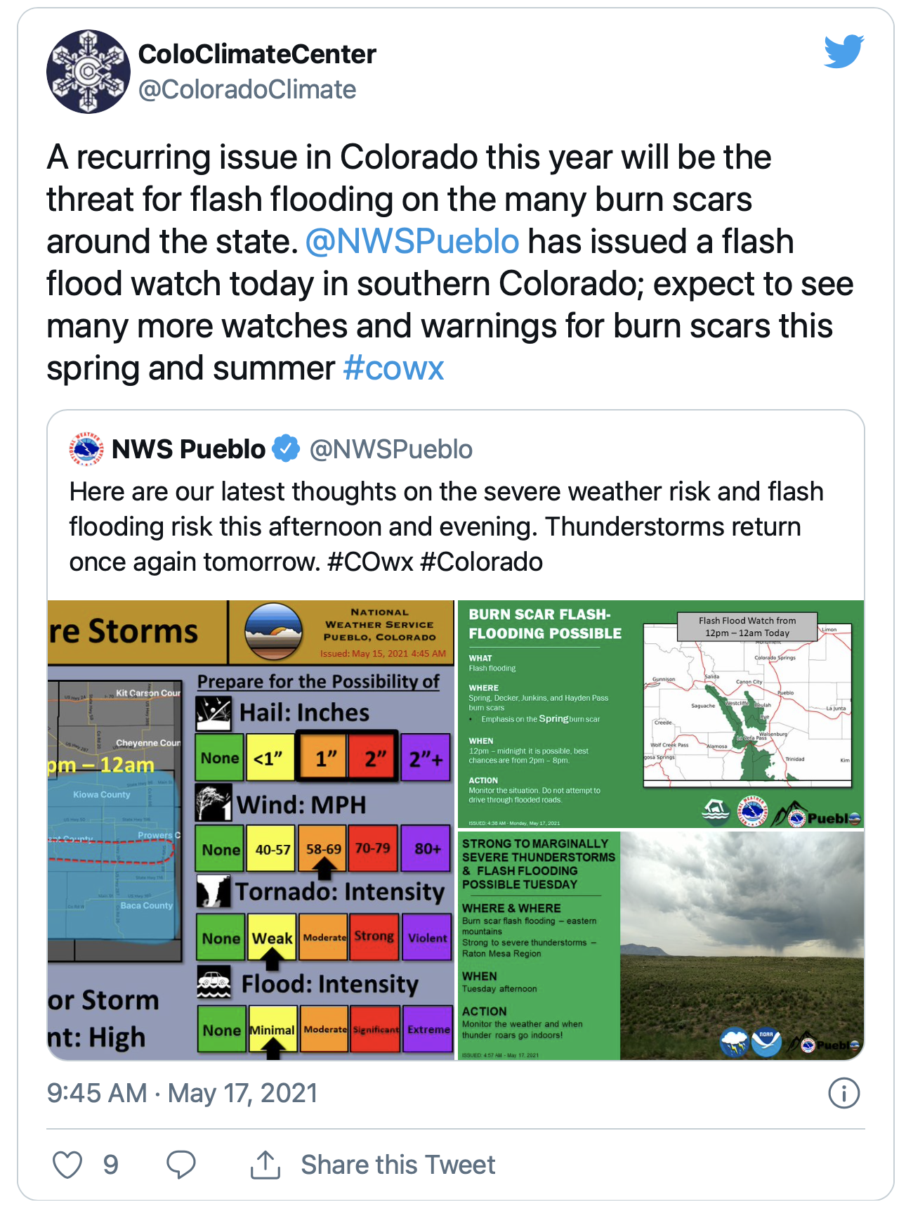
The Boulder office has already issued multiple flood advisories for burn areas. The Colorado Climate Center warned in a tweet that the threat of flash flooding in burn scars will be a recurring issue.
Hanson hopes there won’t be many flash flood warnings this summer, but he believes it’s inevitable…
Why are wildfire burn areas at a higher risk of flooding?
After a wildfire moves through an area, it burns up most of the plants and material that would absorb a lot of that rain, like the tree canopy and the leaves on the ground. Burned vegetation also coats soil with a wax substance that can cause soil to become hydrophobic, meaning it will repel water instead of absorbing it…
The first two years after a fire is when the worry is highest, Hanson said. But the flash flood risk often remains for much longer…
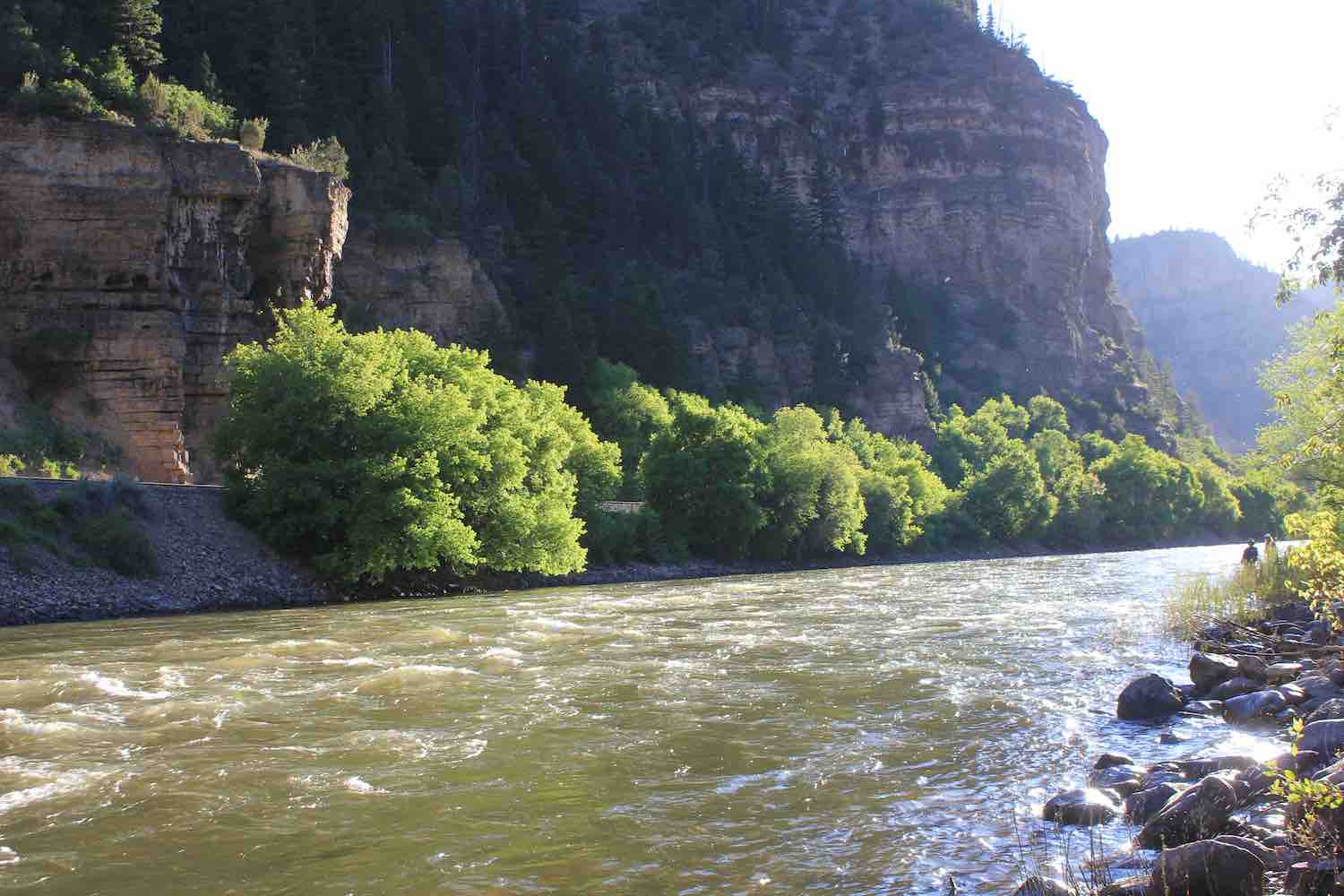
Glenwood Canyon/Colorado River. Photo credit: Allen Best/The Mountain Town News
One area to watch out for? Glenwood Canyon
The stretch of Interstate 70 through Glenwood Canyon was closed for more than a week in the aftermath of the 2020 Grizzly Creek fire. The burn scar that remains is vulnerable to a greater chance for flash floods and debris flows that rush down the canyon walls and affect the drivers and people recreating below.
CDOT is prepared for mudslides and rockfall in Glenwood Canyon, which are “very likely” if there is moderate to extreme rainfall, said agency spokesperson Elise Thatcher.
There’s a safety closure protocol in place to evacuate the canyon, Thatcher said. If there’s a certain amount of rain in the 24-hour forecast or a Flash Flood Watch, rest areas and recreation paths will be evacuated and closed.
CDOT will evacuate all traffic from the canyon if there is a Flash Flood Warning and stage crews to be on standby to clear the road of debris and assess the damage before reopening, Thatcher said.