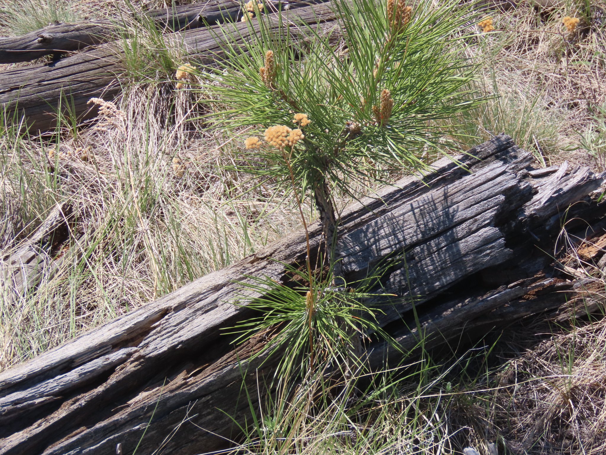
South of Hesperus August 2019 Sleeping Ute Mountain in the distance. Photo credit: Allen Best/The Mountain Town News
Click the link to read the article on The Denver Post website (Bruce Finley). Here’s an excerpt:
“A lot of reckoning” as Colorado low water flows imperil farming and ranching
The Utes are surviving, for now, by relying on a unique asset: a mill built in 2014 where tribal crews de-husk, grind and package all the corn they can harvest: “Native American Grown whole grain Non-GMO.” Sales nationwide to whiskey distilleries, health-oriented grocery stores and others help make ends meet — even as less water is available. Dry times led reservoir operators to cut the Utes’ water to 10% of their allotment last year and 25% this year. Only 13 of the tribe’s 110 center pivot irrigation sprinklers can run…
Mcphee Reservoir
The agricultural economy of far southwestern Colorado once encompassed more than 75,000 irrigated acres, including 7,700 acres on the Ute Mountain Ute reservation. It relies on the huge McPhee Reservoir completed in 1986, one of the largest and last that the federal government built to enable settlement in the arid Southwest. The reservoir is less than half full. Snowpack in the high San Juan Mountains has been shrinking — recent federal research has found these mountains will be dry before 2080 — and the cumulative impacts are such that runoff toward the reservoir disappears more quickly into parched terrain. The snow melts earlier, complicating planting, and unusually high winds and heavy dust accelerate water depletion.
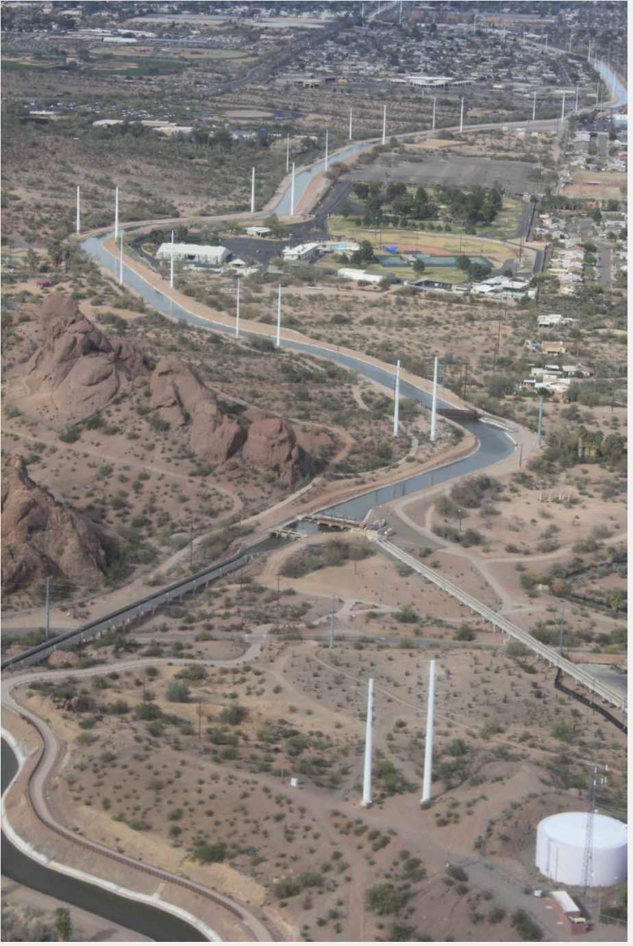
Towaoc-Highline Canal via Ten Tribes Partnership/USBR Tribal Water Study
By tribal leaders’ own reckoning and multiple historical assessments, the Utes have been dealt repeated bad hands, forced in the 19th Century onto some of North America’s harshest land – high desert southwest of Cortez — with limited access to water.
For thousands of years, Utes migrated in sync with nature’s seasons across valleys and deserts that became Colorado, Utah and New Mexico. A tribal website video celebrates Utes’ role as stewards of the mountains. European settlers displaced them and disrupted nomadic lifestyles. A 1908 U.S. Supreme Court ruling said water on reservations had to fulfill the purpose of the reservations, which included agriculture. Yet, access to sufficient water remains difficult. Ute Mountain Utes lacked domestic drinking water in Towaoc, the tribal capital, until the late 1980s. Tribal members had been hauling snow down from Sleeping Ute Mountain on their backs and melting it.
In an effort to keep water levels in Lake Mead from declining at a drastic rate, the City of Phoenix announced that it will leave an additional 14,000 acre-feet of Colorado River water in the lake this year.
Mayor Kate Gallego and members of the Phoenix City Council approved the move on July 1 as part of the 500+ Plan, an organized effort among various entities to stop the lake’s decline by conserving 500,000 acre-feet a year.
GET THE MORNING HEADLINES DELIVERED TO YOUR INBOX
“In this time of extreme drought, it is not easy to convince governments to leave water behind,” Gallego said in a press release. “However, I believe we are all acutely focused on what it will take to help Arizona communities thrive for the long term. In Phoenix, that means we make reasonable sacrifices now, to ensure we can continue to welcome people who want to live here, as well as the businesses that want to set up shop here.”
The City of Phoenix made its first contribution to the 500+ Plan in January, and with the July 1 action, it will have contributed a total of 30,000 acre-feet.
By leaving water in Lake Mead, the City of Phoenix will receive about $7.8 million in funding from the Central Arizona Water Conservation District, the press release stated. The funds will be placed in the city’s Water Revenue Fund to help purchase water from other sources and fund conservation programs.
The Gila River Indian Community, the City of Tucson, the City of Phoenix and other communities across the region, and the state, have agreed to be part of the solution by making their own contributions.
The 500+ plan aims to add 500,000 acre-feet of additional water to Lake Mead both this year and in 2023 by supporting and funding actions to conserve water across the Lower Colorado River Basin, according to the Gila River Indian Community.
An acre-foot is the amount of water necessary to flood one acre of land to a depth of one foot, the City of Phoenix stated. That equals about 326,000 gallons, or enough water for three single-family homes in the Phoenix metro area.
Gallego thanked Gila River Indian Community Gov. Stephen Roe Lewis for his leadership in bringing stakeholders together.
In December 2021, Lewis signed two agreements with the United States Bureau of Reclamation stating that the Gila River Indian Community would conserve over 129,000 acre-feet of its Colorado River water entitlement in 2022 to keep Lake Mead from falling to critically low levels.
“It is also true that cities and Indian communities cannot solve this issue on our own,” Gallego said in a written statement. “We need to see proportional action across sectors – particularly agriculture, which uses 70% of available Colorado River water.”
Water users in Phoenix consume 30% less water per capita than they did 30 years ago, according to the City of Phoenix, even as the city has experienced massive population growth over the same period.
“We need that conservation trend to continue,” Gallego said. “But as the drought stretches on, we are constantly looking for ways to be even better stewards of our most precious resource.”
SUPPORT NEWS YOU TRUST.
Arizona Mirror is part of States Newsroom, a network of news bureaus supported by grants and a coalition of donors as a 501c(3) public charity. Arizona Mirror maintains editorial independence. Contact Editor Jim Small for questions: info@azmirror.com. Follow Arizona Mirror on Facebook and Twitter.
Remains from a batch plant used in construction of Glen Canyon Dam emerged from the receding waters of Lake Powell in February. Photos/Allen Best
Click the link to read the article on the St. George News website (David Dudley). Here’s an excerpt:
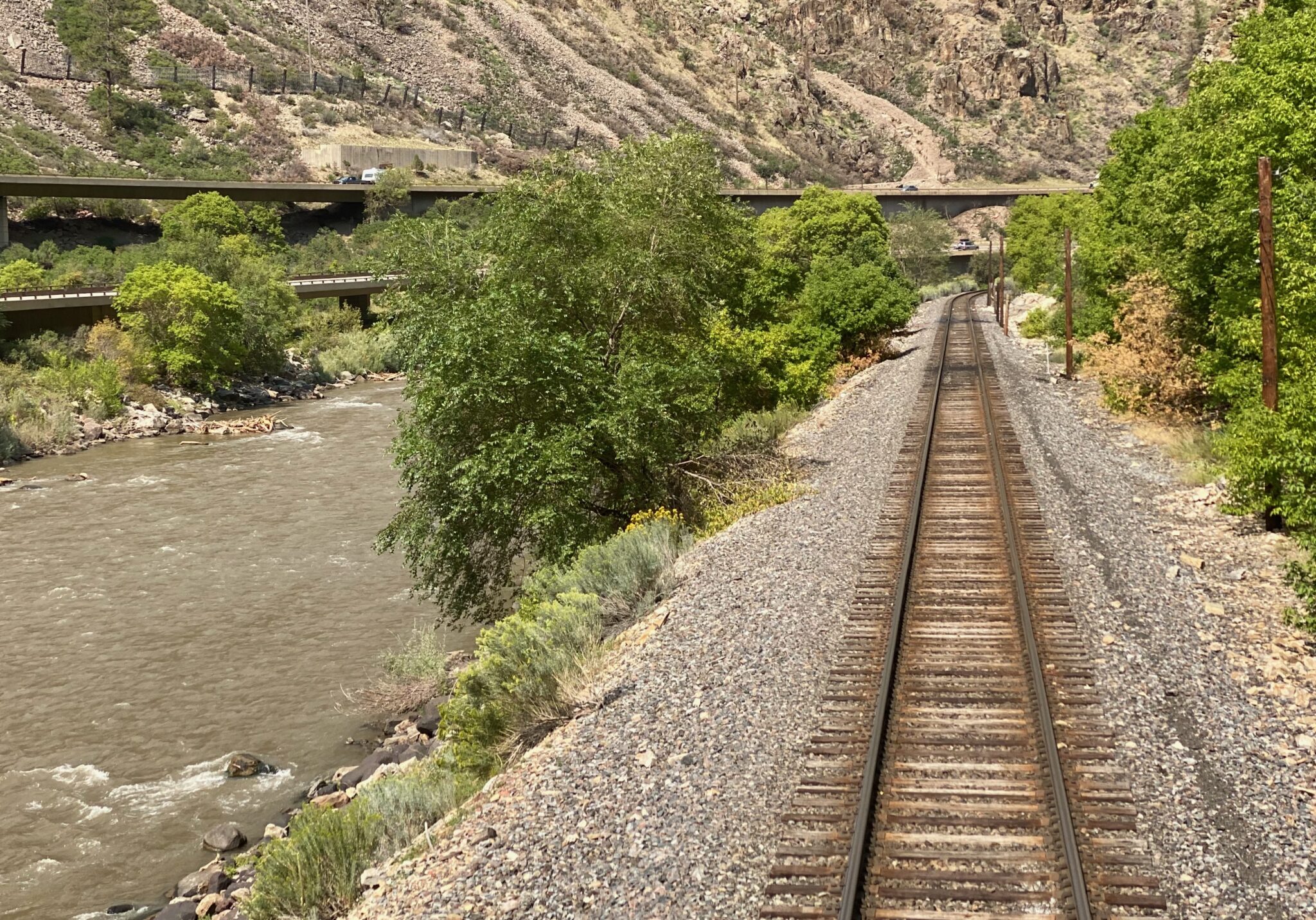
Just below the dam, railroad tracks run along the canyon wall — the ghostly remains of a concrete batch plant that was created to construct the dam in the early 1960s.
“This is the first time they’ve been above water in 60 years,” said Gus Levy, U.S. Bureau of Reclamation’s deputy field division manager at Glen Canyon Dam.
They may not be visible for much longer. Beginning in May, the Bureau of Reclamation began the process of releasing 500,000 acre-feet of water from the Flaming Gorge. That water will flow from northern Utah down into Lake Powell, where it will collect and, officials hope, enable the Glen Canyon Dam to continue providing water and electricity for millions of people…
Gene Shawcroft is the general manager for Central Utah Water Conservancy District, the state’s largest water district. Shawcroft, who is also the Colorado River commissioner of Utah, earned degrees in engineering from Brigham Young University. He originally grew up on a farm in southern Colorado, where he enjoyed working and playing in the water.
“There are two elevations that we’re concerned about right now,” Shawcroft told St. George News, referring to Lake Powell’s water level. “The first is 3,525 feet; the second is 3,490 feet.” The latter is the point at which the turbines at Glen Canyon Dam, which supplies millions with power, would be turned off, an unprecedented situation…To prevent that, Shawcroft said that various Upper Colorado River Basin states, which include Colorado, Wyoming, Utah and New Mexico, are working together. While some water from smaller basins has been released, Shawcroft said that the 500,000 acre-feet of water flowing from Flaming Gorge is meant to replenish Lake Powell…
Jack Schmidt is a professor as well as the Janet Quinney Lawson chair in Colorado River Studies at Utah State University. He’s researched the Colorado River and the Grand Canyon for over 30 years. Schmidt’s appraisal of the situation may feel grim to some, but it may also offer hope.
“We are the problem,” he told St. George News. “But we can also be the solution.”
One way people contribute to the problem is overuse of water in the face of the Colorado River’s dwindling water flows. The weather plays a crucial role, too.
The pie chart shows how much water each sector uses in Colorado, as well as how much water originating here leaves the state. CREDIT: COURTESY COLORADO WATER PLAN
Click the link to read the article on the KRDO website (Mallory Anderson). Here’s an excerpt:
A draft of the 2023 Colorado Water Plan has been released and outlines what the state needs to do in order to conserve resources as rivers, lakes, and reservoirs dry up…
A new analysis by the Colorado Water Conservation Board (CWCB) says up to 740,000 additional acre-feet of water could be needed by 2050 to meet community and industrial demands. For agriculture, an even bigger number. An estimated 2.6 to 3.5 million acre-feet of water is needed.
“I think we’re presenting a very honest view of where things are at,” said Russ Sands, Section Chief for Water Supply Planning with the Colorado Water Conservation Board. “It’s going to be tough. We can’t change things like mega-fires. We can’t stop the drought. But, we can do a lot of things to work together to mitigate the worst impacts of what is headed our way.”
[…]
A major way the Colorado Water Plan hopes to mitigate impacts is through local projects the CWCB is ready to give grants to…The Water Plan estimates that $20 billion is needed to address the water crisis…Despite the high price, the CWCB is staying positive when looking towards the future of water in our state…Public comment is now open for the Water Plan draft and closes on September 30, 2022.
A turbine whirls on a farm east of Burlington, Colo. Colorado’s eastern plains already have many wind farms—but it may look like a pin cushion during the next several years. Photo/Allen Best
The plan contains no silver bullet for the challenges facing cities, farms, forests, recreation and conservation areas in the state. It does lay out the challenges and points toward potential solutions to a future far shorter on water than what the recent past has experienced.
As noted in a quotation from former Colorado Justice Gregory Hobbs in a preamble to the document, “The 21st Century is the era of limits made applicable to water decision making. Due to natural western water scarcity, we are no longer developing a resource. Instead, we are learning how to share a developed resource.”
The plan picks up Hobbs’ “sharing” advice with a call for greater collaboration between the water basins and water decision makers in the state and beyond.
Headwinds in the use of Colorado water include multiple factors:
The population is growing. It’s nearly 6 million now and will be 8.5 million by 2050.
Nineteen other states plus Mexico also depend upon water that originates in Colorado.
It’s getting hotter. Average temperatures are up 2 degrees Fahrenheit in the past 30 years.
Rainfall is coming less often. It’s been below average since 2000.
Yet some progress in meeting challenges has been made, the report said.
Conservation efforts have reduced per capita water consumption by 5% since 2000.
Cities have worked collaboratively to lease 25,000 acre feet of agricultural water since then, instead of buying-and-drying.
About 400,000 acre feet of storage has been created since the turn of the century, too.
The Biden administration is set to approve another key permit for a new railroad in Utah that is expected to drastically increase the amount of crude oil hauled through Colorado by rail, dismissing objections from environmental groups and Colorado communities along the impacted route.
Officials with the U.S. Forest Service on Tuesday rejected a challenge to its decision to allow part of the proposed 88-mile Uinta Basin Railway to cross a protected roadless area in the Ashley National Forest. Securing the right-of-way is a critical step for the project, which is backed by a public-private partnership between seven Utah county governments, Drexel Hamilton Infrastructure Partners and the Rio Grande Pacific railroad company.
Utah’s oil and gas industry has eagerly supported the proposed rail line, which is projected to significantly increase oil production in the Uinta Basin by connecting the region to the national rail network, allowing crude oil to be transported over the Rocky Mountains to refineries along the Gulf Coast. An environmental impact statement prepared by federal regulators estimated that the increased production from the Uinta Basin alone could increase total annual U.S. greenhouse gas emissions by nearly 1%, at a time when scientists are urging drastic global emissions cuts to avoid the worst impacts of climate change.
GET THE MORNING HEADLINES DELIVERED TO YOUR INBOX
“President Biden should be doing everything in his power to respond to the climate emergency, but he’s about to light one of the nation’s biggest carbon bombs,” Deeda Seed, a senior campaigner with the Center for Biological Diversity, said in a statement. “This is pouring another 5 billion gallons of oil on the fire every year and bulldozing a national forest in the process. It’s a horrifying step in the wrong direction.”
Much of the additional crude oil produced as a result of the Uinta Basin Railway would be hauled through Colorado on a route that passes through Glenwood Canyon along the Colorado River, then through the Moffat Tunnel and central Denver. Up to 10 two-mile-long trains would travel the route daily, and because the Uinta Basin produces a type of oil known as “waxy” crude, the tank cars used to transport it need to be heated, creating additional safety and environmental risks.
Dozens of cities, counties and water districts along the route have voiced opposition to the project, including Glenwood Springs, where city officials worry about potential impacts to the Colorado River Basin, and Eagle County, which has joined environmental groups in suing the U.S. Surface Transportation Board in a federal appeals court over its 4-1 vote to approve the project as a whole in December.
This is pouring another 5 billion gallons of oil on the fire every year and bulldozing a national forest in the process. It’s a horrifying step in the wrong direction.
– Deeda Seed, a senior campaigner with the Center for Biological Diversity
At least 21 oil train derailments have occurred in the U.S. and Canada since 2013, according to a 2021 report from the nonprofit Sightline Institute. Such incidents frequently result in fires and spills, including the 2016 derailment of an oil train in Oregon’s Columbia River Gorge, in which an estimated 42,000 gallons of crude oil were spilled.
The partnership behind the railway project says it’s “committed to minimizing and mitigating environmental impacts where possible,” and will comply with “all federal, state, and local environmental regulations.”
In a notice sent on Tuesday, Forest Service officials rejected the Center for Biological Diversity’s challenge to the Ashley National Forest right-of-way permit, writing that despite some “concerns” about the environmental impact statement prepared by the Surface Transportation Board, the agency believes the analysis “supports permit issuance.”
“There is nothing in the proposal that would suggest that the Forest Service must reject the proposal or deny the application,” wrote Deb Oakeson, deputy regional forester for the USFS Intermountain Region. “Analysis in the (environmental impact statement) has led to certain protective measures and mitigations that would be stipulated conditions of any potential special use permit.”
Backers say the $1.5 billion Uinta Basin Railway would be the largest new railroad project in the United States in nearly 50 years. Construction could begin as early as next year.
Opponents, however, still hope to prevail in several legal challenges, including Eagle County’s suit against the Surface Transportation Board and a separate complaint alleging misuse of state funds in connection with the project’s financing. Eagle County and other petitioners in the federal lawsuit are scheduled to file opening briefs in the case by Aug. 4.
In a letter sent earlier this year, more than 50 Colorado city and county governments urged Democratic Sens. Michael Bennet and John Hickenlooper to speak out in opposition to the project. Both senators have said that they share Colorado communities’ “concerns” about the proposal.
Meanwhile, more than 100 environmental groups from Colorado, Utah and other Western states have voiced their opposition, objecting to the railway’s potential to do “tremendous harm to the environment.”
“This area is already facing water and air quality issues,” Jonny Vasic, executive director of Utah Physicians for a Healthy Environment, said in a statement Wednesday. “The railway will quadruple production of oil in the Uinta Basin, resulting in dire consequences for air quality, public lands, water, public safety and the climate.”
SUPPORT NEWS YOU TRUST.
Colorado Newsline is part of States Newsroom, a network of news bureaus supported by grants and a coalition of donors as a 501c(3) public charity. Colorado Newsline maintains editorial independence. Contact Editor Quentin Young for questions: info@coloradonewsline.com. Follow Colorado Newsline on Facebook and Twitter.
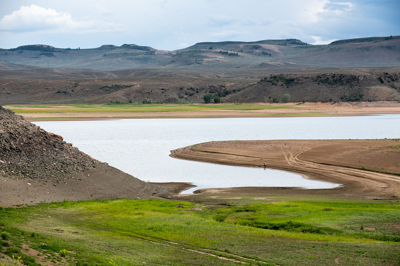
Blue Mesa Reservoir is the largest storage facility in Colorado in the Upper Colorado River system. Prolonged drought and downriver demand is shrinking the reservoir. Credit: Tom Wood, Water Desk
Click the link to read the article on The Montrose Press website (Katharhynn Heidelberg). Here’s an excerpt:
Bureau of Reclamation Commissioner Camille Touton in June 14 remarks to the U.S. Senate said the ongoing drought has put the Colorado River Basin at “the tipping point.” According to published reports, she also called on the basin states to reduce water use by 2 million to 4 million acre feet over the next 18 months and told the states to come up with a plan to do so in the next 60 days…
State Rep. Marc Catlin, a Colorado River District board member, is alarmed by the timeline — 60 days from Touton’s request is in mid-August.
“Historically, we haven’t been able to decide the shape of the table in 60 days,” Catlin said of talks between the basin states. “I really think what we’re looking at is more of what the water plan will be in water year 2023.”
[…]
BuRec is attempting, under drought response actions announced May 3, to boost storage in Powell by about 1 million af by next April. Flaming Gorge Reservoir will release 500,000 af, as called for by the drought contingency plan. Additionally, BuRec is reducing Glen Canyon Dam’s annual release volume from 7.48 million af to 7 million af.
Grand Junction City Council approved Wednesday a 25-year lease of Vincent Reservoir No. 2, a currently unused reservoir on Grand Mesa which the city owns, to Snowcap Coal Co. According to a staff, Snowcap plans to rehabilitate the 40-acre reservoir and dam while using the reservoir to augment any stream depletions in Rapid Creek caused by the Roadside Portals Mine, an abandoned mine-owned by Snowcap. The mine causes limited impacts to Rapid Creek, according to the lease, which by Colorado law are required to be augmented by Snowcap.
“Snowcap has identified the reservoir as a source for the storage of augmentation water to remedy the Stream Depletions,” the lease states. “Snowcap has investigated the Reservoir and Dam and has determined that rehabilitation of the Dam would benefit its efforts to comply with the Consent Order and its legal obligations under Colorado law.”
The augmentations will help keep the water rights for Rapid Creek and the Colorado River whole, according to Snowcap legal counsel John Justus. Snowcap has never operated the Roadside Portals mine and does not have any plans to re-start operations at the mine, Justus said.