
Click the link to read the article on the Alamosa Citizen website (Owen Woods and Chris Lopez):
October 25, 2026
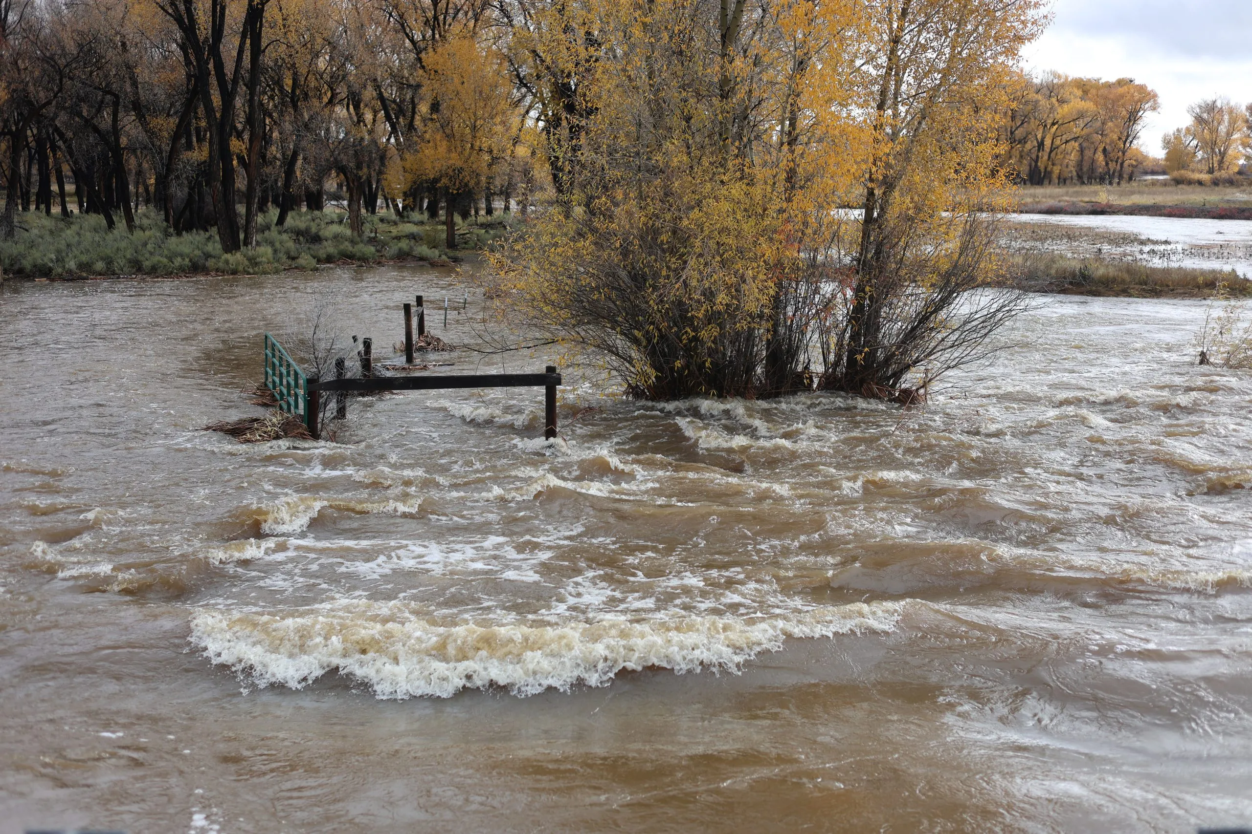
he Rio Grande grew to its highest level in nearly 80 years over the El Niño storm weekend, forcing evacuations even south in Conejos County and shutting down Highways 112 and 285 into Sunday.
“Legendary,” said Pat McDermott, a longtime observer of the Valley’s river systems and recent retiree of the Colorado Division of the Water Resources in the San Luis Valley.
“Basically a free river. Anybody that wanted it could take (water),” said Greg Higel, a rancher along the Rio Grande and chair of the Rio Grande Water Conservation District.
Heroic work by managers of the Valley’s canal systems helped keep communities along the Rio Grande from flooding even more than they did. The ditch riders did similar work in October 2025 when the Valley also saw historic rains.
“They all responded to try to take this top off the river,” said McDermott, noting the work of managers for the Prairie Ditch, Farmers Union, Rio Grande, Empire and Monte Vista canals.
Colorado Division of Water Resources monitoring measured a peak flow of 11,000 csf Friday at Hanna Lane in Rio Grande County, which exceeded a record reading of 9,700 cfs from 1949. The water moved south and overwhelmed Los Pinos, San Antonio and Conejos rivers to force the evacuation of the town of Manassa on Saturday evening.
“It’s phenomenal. It’s legendary,” McDermott said. “There’s going to be damage. The river got out of its banks above Del Norte. This is a legendary event.”
Colorado National Guard members went door-to-door as the town underwent an evacuation order. Around 18 residents left for a shelter set up at the Knights of Columbus Hall in La Jara, according to emergency managers.
Emergency responders made a plea for visitors, particularly hunters, to avoid the Valley due to moderate flooding across the six counties. Second rifle season hunting began on Saturday.
Jade Network set up more than 9,000 free WiFi hotspots to help first responders coordinate search and rescue operations and to help residents stay connected, said co-CEO Jordan Wehe.
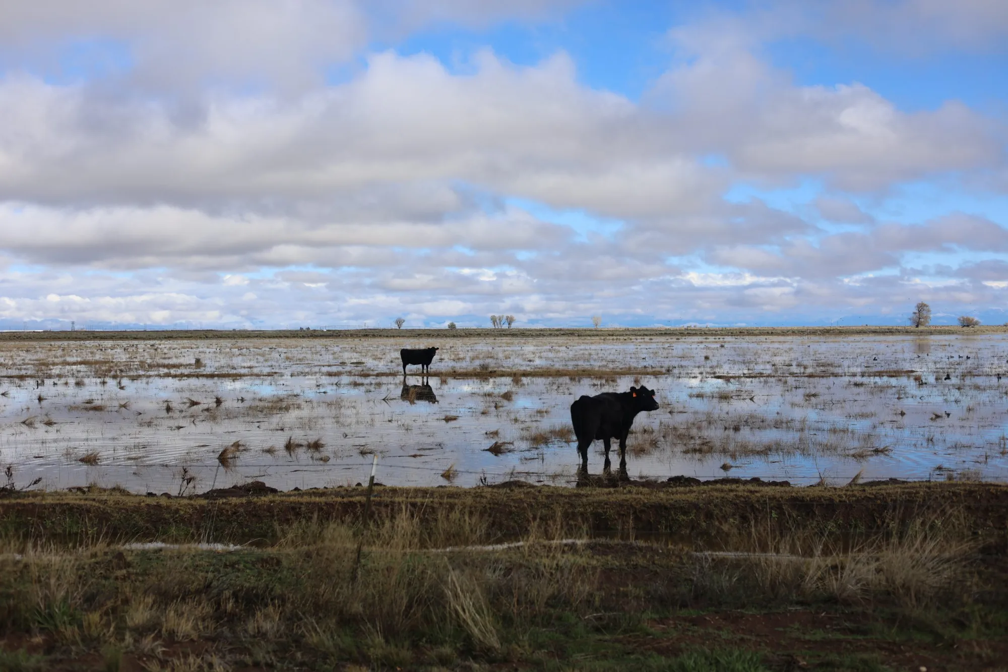
Alamosa was under flood watch coming into Sunday, with fears the water flowing in from Del Norte would overwhelm the levee through the town. More rain was anticipated Sunday evening into Monday which kept flood concerns in place.
The city and county governments in Alamosa have just started discussions with the Army Corps of Engineers on the required rebuilding of the Alamosa levees after decades of a deteriorating levee system through the town.
Even on the east side of the Valley, the Sangre de Cristos have been covered in thick clouds all weekend and Medano Creek has surged at the Great Sand Dunes National Park. Medano Creek typically flows in late spring.
The village of Guadalupe was inundated and evacuated along with parts of Manassa. Conejos County and Rio Grande County are bearing much of the brunt of the downpour.
“That area is the pinch point for Los Pinos, San Antonio and Conejos River converging,” McDermott said of Manassa. “Towns built too low for this type of weather event. The river gets out of the banks and it’s going to flow where it needs to flow.”
The Knights of Columbus in La Jara is serving as the evacuation shelter and the La Jara Arena, located at 17705 US-285, is accepting small animals and livestock. The Conejos County Health Department said if anyone has animals that need sheltering to contact Mystie Hoyt at 719-298-1099. The arena cannot take household pets.
The Conejos County Sheriff’s Office is taking donations of non-perishable foods as well as cleaning supplies needed for the shelter. Donations can be taken to the Conejos County Sheriff’s Office, located at 4044 County Rd G.5 in Antonito. Be sure to buzz the front door to check in the donations’ do not leave them unattended.
All this water is creating problems for roads, with some roads being washed out or flooded, creating impasses.
San Luis Valley emergency managers have been working to assess the damage and create safe evacuation spaces for people and animals.
A concern among water and emergency managers Sunday morning was whether the Alamosa levees would hold the water coming through from Del Norte.
The Rio Grande at the county line gauge was at 5,000 cfs early Sunday morning, but by around 8 a.m., it had lowered to around 3,500 cfs. All that water is headed to Alamosa.
“That’s what I’m worried about. How is our levee system going to hold 4,000 cfs?” McDermott said.
As of noon Sunday, the gauge in Alamosa was reading 1,560 cfs.
In the 1980s, McDermott noted, the Rio Grande at Del Norte routinely flowed at 8,000 cfs and sustained those flows in the years of 1985, 1986, 1987.
In those years, the river never reached the peak flows this storm created.
The Valley’s canals have taken on much of the water between South Fork and Alamosa. Similar to October 2025’s precipitation, the canals are diverting as much as they can.
Things are easing up in South Fork, but South Fork Fire Rescue said Sunday morning workers will begin the process of transition from response to recovery efforts in South Fork, Del Norte and Monte Vista.
Residents are advised to not return home until all mandatory evacuation orders have been lifted.
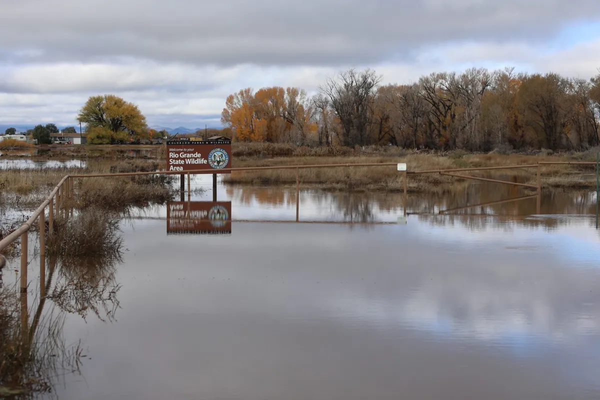
A community meeting is scheduled for Monday, Oct. 26, at 6 p.m. at the New Hope Church at 25258 US Highway 160 in South Fork.
Del Norte’s drinking water remains safe to drink and no boil orders have been issued. The South Fork Community Building still has resources for those impacted by the flooding, including drinking water and food.
The Upper Rio Grande School district announced that schools in Del Norte and South Fork would be closed on Monday.
Evacuations remain in place for the following areas:
- South Fork of the Rio Grande: From the Wolf Creek Tunnel to Fun Valley and from County Road 20 to the confluence of the Rio Grande.
- Rio Grande: From the confluence of the River Green Subdivision to the Shaw Creek Rest Area.
Beaver Mountain Estate residents are advised to shelter in place or evacuate via Skyline Drive North past the forest gate, following that until Park Drive then downhill past South Fork Fire Rescue on Mall Street.
Current Road Closures:
- Highway 160 over Wolf Creek Pass–closed in both directions
- Highway 285 from Monte Vista to Center Junction
- Highway 112 from Del Norte to Center
- Rio Grande County Road 18 Bridge to County Road 15
- Escondida Bridge over the South Fork of the Rio Grande
- Park Road closed to Forest Service Road 380–Park Creed Bridge is washed out
- Park Creek to Summitville
In Del Norte, street closures include:
- 3rd Street from Spruce Street to Hermosa Street
- Spruce Street from 2nd Street to Front Street
- First Street from Oak Street to Pine Street
- Front Street from Spruce Street to Pine Street
- 3rd Street and Cherry Street to 2nd Street
