
Click the link to read the article on The Los Angeles Times website (Ian James and Sean Greene). Here’s an excerpt:
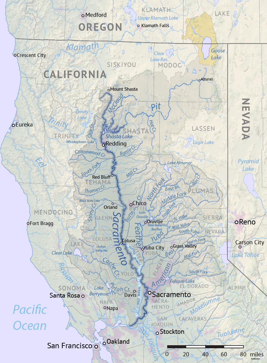
The order, which took effect Thursday, puts a hold on about 5,800 water rights across the Sacramento and San Joaquin rivers’ watersheds, reflecting the severity of California’s extreme drought. Together with a similar order in June, the State Water Resources Control Board has now curtailed 9,842 water rights this year in the Sacramento and San Joaquin watersheds, more than half of the nearly 16,700 existing rights…The number of water rights that fall under this year’s orders is slightly less than the 10,200 curtailed in 2021. But the latest cuts have come earlier in the summer, affecting many farmers at the peak of their growing season, when they typically irrigate more.

One thought on “#California deepens #water cuts to cope with #drought, hitting thousands of farms — The Los Angeles Times”