April 30, 2024
Audubon is hiring. The conservation organization wants to bring the science for which it is noted among conservation organizations to the selection of electrical transmission in Colorado and other intermountain states of the West.
“We don’t want to be an organization that stops something, because climate change is literally the existential threat to birds. And the renewable energy and storage that is needed require more transmission lines. So how do we work together to make this happen?” says Alice Madden, a former state legislator from Louisville who joined the National Audubon Society in March as senior director of climate strategy.Loui
Audubon already has a person working with developers on five proposed transmission lines in the Midwest. There an organized market called a regional transmission organization, or RTO, exists.
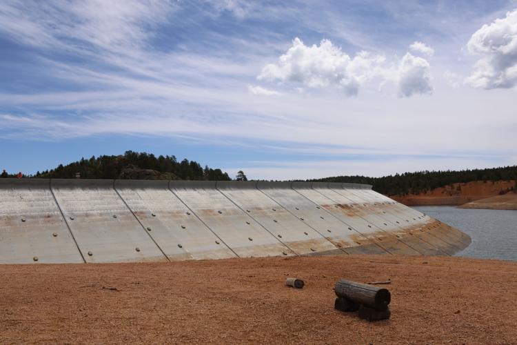
Western states remain fragmented in integration of electricity into an organized market. Colorado is akin to an island. The person that Madden hires will be responsible for working with developers to put new lines along highways, railroads, and other areas of disrupted habitat. If that is impossible, then the goal will be to route the transmission in the ways that cause least impact to birds.
“Routing is important, and Audubon has incredible mapping tools … so we can provide a wealth of information,” she says.
The organization already has had success in the West, though. Madden cites the organization’s work with developers of SunZia, a 550-mile high-voltage direct-current transmission line between central New Mexico and south-central Arizona.
Like most transmission lines, this one had a long history. It was proposed in 2006 and had a 17-year journey to final permitting. Audubon credits Pattern Energy, which joined the project in 2018 and partnered with Audubon to initiate early and active engagement with project developers.
“We literally guided them to best practices for routing, best practices for tower design, ways to avoid interruption of flight patterns,” says Madden.
Plus, the company committed to using an ultraviolet light-based system that was developed at Audubon’s Rowe Sanctuary. At the sanctuary, located along the Platte River in Nebraska, the technology has dramatically reduced mortality among sandhill cranes because of collisions. The technology makes the transmission lines that birds collide with most frequently more visible to them.
A 2023 Audubon report, “Birds and Transmission: Building the Grid Birds Need,” cites the work in New Mexico and Arizona as an approach that is “essential to optimize mitigation for birds, ensure the best data and science are used, and make projects into long-term successes worth of Audubon’s support.”
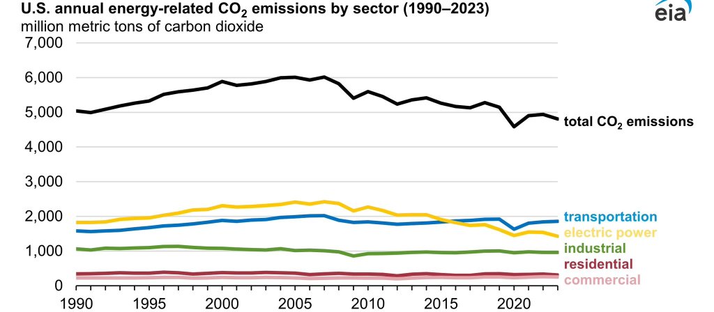
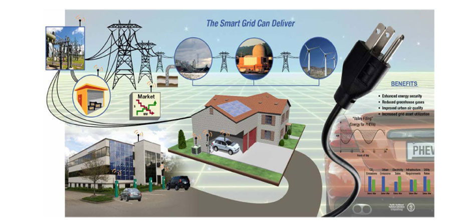
In the report’s preface, Marshall Johnson, the chief conservation officer for Audubon, speaks to the urgency of replacing fossil fuel generation with renewables. “The window to slow the rate of global temperature rise is narrowing, but the window still exists. If we are to make the most of this waning opportunity, we need to act quickly.”
Johnson goes on to lay out the need to develop renewable generation and then transmit it to population centers. Experts say the United States needs to add effectively double or triple transmission capacity. “How and where new transmission is constructed will have a tremendous impact on birds and our communities,” he wrote.
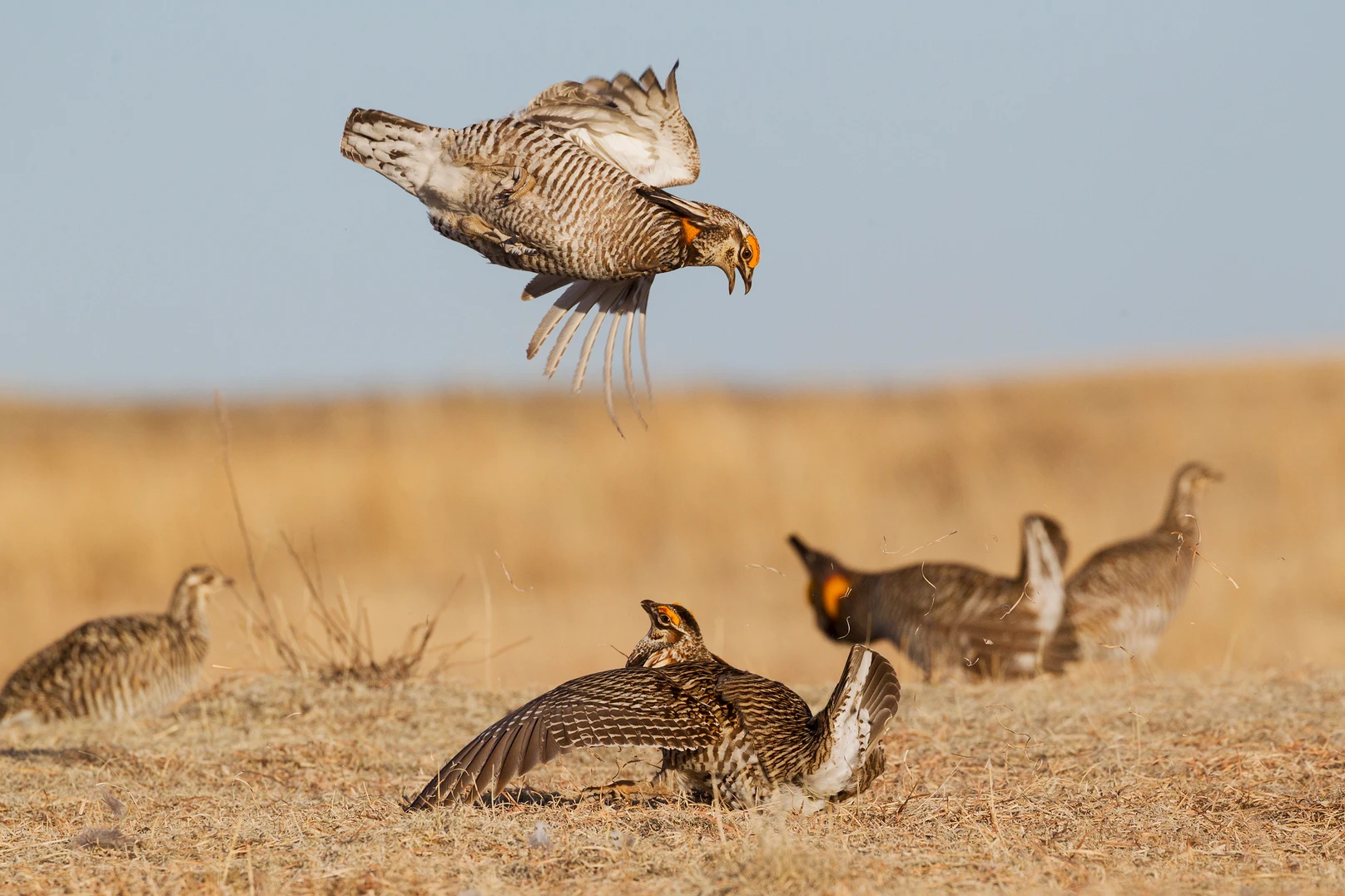
Audubon also issued the 2019 report, “Survival by Degrees: 389 Species on the Brink,” which warned that two-thirds of bird species in North America were vulnerable to extinction unless emissions are lowered.
That same report examined Colorado with greater granularity: 125 out of 241 species are climate vulnerable in summer if temperatures rise 3 degrees C (5.4 degrees F). If temperature rise can be kept to 1.5 degrees C — which appears unlikely — the number of vulnerable species declines to 84.
Colorado in recent years has adopted two laws. One requires the state’s electrical utilities to join a regional transmission organization so that they can better share low-cost renewables over a broad hunk of real estate and in more than one time zone. Another law created the Colorado Electric Transmission Authority, or CETA, which heard the latest report from Audubon representatives in January. The organization has broad powers to build transmission that will help Colorado deeply decarbonize its electricity sources even as electricity expands into sectors now dominated by combustion of fossil fuels.
State Sen. Chris Hansen, a Democrat from Denver, the author of these and many other key pieces of energy transition legislation, says he believes Colorado and other states need to accelerate development of transmission.
Some have argued that the National Environmental Policy Act needs to be tweaked. Hal Harvey and Justin Gillis, in their 2022 book, “The Big Fix,” make the case for revisions.
“In the book, we call for carefully thought-out reform, not just in NEPA,” said Gillis, a former reporter for the New York Times, in an interview with Big Pivots. “There’s a whole suite of land-use policies where, if we just leave them as is, it will take us 30 to 40 years to do that which really needs to be done over the next 10 years.”
Former Colorado Gov. Bill Ritter, in a meeting with Pitkin County commissioners on April 9, mentioned the difficulty of transmission when crossing federal lands and the perceived need for streamlining regulation. Idaho is about 66% federal lands, Nevada is 85% federal lands, Colorado is 35%. NEPA, he said, is part of a broader conversation about whether regulatory review can be streamlined without losing the environmental scrutiny that is needed.
That conversation, Ritter added, is not just a Colorado one, but a national one.
“I just had a conversation with U.S. Senator Michael Bennet, and I think there’s ambition inside the United States Senate to try and streamline the reform and try and not lose anything in the process. It’s a federal statute that would have to be passed in order to modify NEPA and they’re trying to understand how to do that with bipartisan support as we speak.”
Madden is wary about reform of NEPA. Those things that motivated the creation of NEPA in 1969 remain. “But there are many, many ways it can be done faster,” she said. “This administration in particular has been trying to do that by employing more people to review these projects.”
“There are a lot of red-herrings about why this takes so long. I think the worst problem is not the permitting. It is the interconnection queue.”
She says 12,000 renewable energy projects across the United States are waiting to be connected to the grid. She identifies utilities as being the challenge.
The Lawrence Berkeley National Laboratory recently reported nearly 2,600 gigawatts of generation and storage capacity are actively seeking grid interconnections. That is an eight-fold increase since 2014.
The U.S. Department of Energy recently released the Transmission Interconnection Roadmap that offers possible solutions to speeding up the interconnection of clean energy.
See: DOE releases first-ever roadmap to accelerate connecting more clean energy projects to the nation’s electric grid.
In her new position at Audubon, Madden has responsibility for implementing the organization’s climate strategy at the state and local levels. She previously was policy and political director for Greenpeace USA. She had also directed the Getches-Wilkinson Center for Natural Resources, Energy & the Environmental at the University of Colorado School of Law.
Along the way she had also worked at the Department of Energy, was a climate change advisor to Ritter during the last two years of his term, and before that had been a member of the Colorado House of Representatives.