Click the link to read the article on The Durango Herald website (Scout Edmondson). Here’s an excerpt:
May 29, 2026
The National Weather Service’s Central Region Climate Outlook issued Sunday [May 24, 2026] said there is an 82% chance that an El Niño weather pattern will develop between May and July, which could bring a higher chance of above-average precipitation this summer…
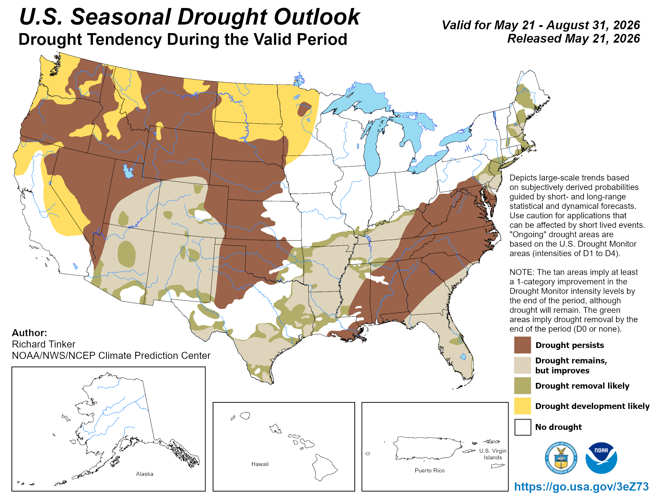
Additionally, the U.S. Drought Monitor said drought conditions, which have been persistent across the Western United States for the past several months, are expected improve in Colorado over the next three months. But, even with such a hopeful outlook, NWS Meteorologist Kate Abbot said a slightly rainier pattern should start to appear the first week of June in Southwest Colorado.
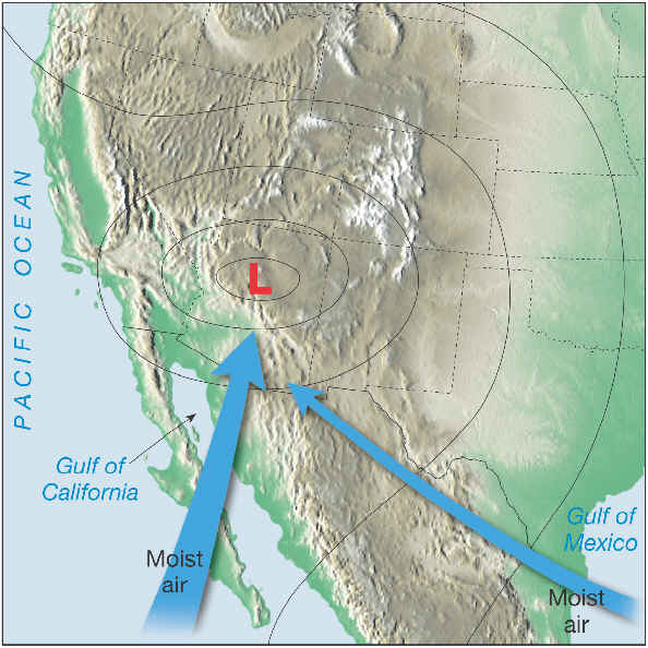
“As we move into next week, we start to set up into more of a southwesterly flow pattern,” Abbot said. “We start to see some chances for afternoon showers in the San Juan Mountains, with probabilities increasing as the week progresses.”