At its Aug. 17 meeting, the San Juan Water Conservancy District (SJWCD) Board of Directors moved forward with contracting engineering firm RJH Consultants to perform a water demand study for the district’s reservoir project. SJWCD board president Randy Cooper opened discussion of the study by summarizing the history of the study, which the board delayed approving at its last meeting since board treasurer Joe Tedder was not at the meeting and had not had an opportunity to review the contract. He explained that the $147,400 cost of the study would be split between 2026 and 2027, which RJH had agreed to. In response to a question from Tedder, Cooper stated that RJH would be ready to start work on the study immediately upon board approval…The board agreed that RJH should provide monthly updates on the project to ensure that the project adapts to any changing circumstances or barriers the district encounters, which Jones raised concerns about.
Map of the San Juan River, a tributary of the Colorado River, in Arizona, Colorado, New Mexico and Utah, USA. Made using USGS National Map data. By Shannon1 – Own work, CC BY-SA 4.0, https://commons.wikimedia.org/w/index.php?curid=47456307
The Pagosa Area Water and Sanitation District (PAWSD) Board of Directors heard an update on drought conditions and continued discussions of violation enforcement at its Aug. 13 meeting…PAWSD is currently in drought stage two of its four-stage drought management plan. PAWSD District Manager Andrew Connor stated that PAWSD currently has “really good compliance” and saw a drop in water sales in July, meaning that public education is working, even if revenues for the district also decreased…PAWSD board member Glenn Walsh asked if the revenue decrease from lowered water use in July was compensated for by surcharges for high water use, which staff confirmed. PAWSD board member Alex Boehmer commented that, since the district is getting compliance with its regulations, he did not think implementing violation letters and fines is necessary. He added that he would also like to authorize Connor to move the district in and out of drought stages when necessary. Tautges commented that he would only want this authorization for reducing the drought stage and not for increasing it, which should require a board vote.
I drove to the bluff overlooking the “Gunny” to process the sad news — news that hasn’t yet been made official — that by October a big portion of the lower Gunnison River in western Colorado will be dry. The official term is “fully dewatered.”
Monsoons were supposed to be heavy this year. As I looked down at the river in late August, clouds in the distance appeared almost monsoonal. Wisps of rain streamed out, but they evaporated before reaching the parched ground. It just about made me cry.
Below me, the North Fork of the Gunnison unceremoniously trickled into the Gunnison River at a place known as Pleasure Park, a weather-beaten outpost of civilization that’s one of the last best-kept secrets in Colorado.
The Gunnison River starts high in the Elk Mountains and flows into Colorado’s largest body of water, Blue Mesa reservoir, though currently it is only the second largest because of drought. Then it flows free through Black Canyon National Park, but only after most of its water gets diverted to irrigate farmland surrounding the towns of Delta and Montrose. The park is a gem, albeit one of the least visited in the nation. From above there’s not much to do except walk to outlooks to stare at sheer, colorful rock walls on the other side and the thin ribbon of river 2,000 feet below.
The “Gunny” then flows through the remote yet accessible Gunnison Gorge Wilderness. In this thin crack of the earth, I’ve spent the past 12 summers working as a wilderness fly-fishing river guide.
Accessible is a relative term. The hearty few that run this remote wild river get to the water by hiking a rough 1.2-mile-long mule trail that drops steeply for almost 600 vertical feet. Even getting to the trailhead takes an hour and a half from the nearest town, and it’s on a four-wheel-drive road that’s been the death knell of many a low-clearance vehicle. Rocky on a good day, it can become impassable when wet.
For those with the dough, a mule packer can be hired to transport boat and gear to the river. Those with the youth, knees, and determination can backpack down rafts, frames, oars, fishing and camping gear. Even elite guests, including former presidents who book fly-fishing trips with commercial guide services, carry their personal gear down to the river.
World-class fishing is why anybody makes the effort, 14 miles of wilderness Gold Medal water, the action peaking in June when large hungry trout key in on an epic salmon-fly hatch.
This stretch of river may be navigable, but it features 18 named technical rapids, and any one of them can humble experienced river runners. Rapids called “Improvise,” “Boulder Garden,” and “Squeeze” can feel more like rock than water, and almost every rapid has ruined a trip at some point. The river is littered with rocks that also earned names because they have strong personalities: “Queen of Hearts,” “The Table and Tombstone,” and “Dicky Do.” Others carry the monikers of unlucky guides.
All these barriers have kept crowds at bay though now there’s a new constraint — 90-to-100-degree temperatures for days on end. The Gorge can remain runnable in 14-foot rafts down to about 300 cubic feet per second, but even then it’s tight. Today it’s running well below that, and the water is too warm for the fish. Most commercial trips have been canceled.
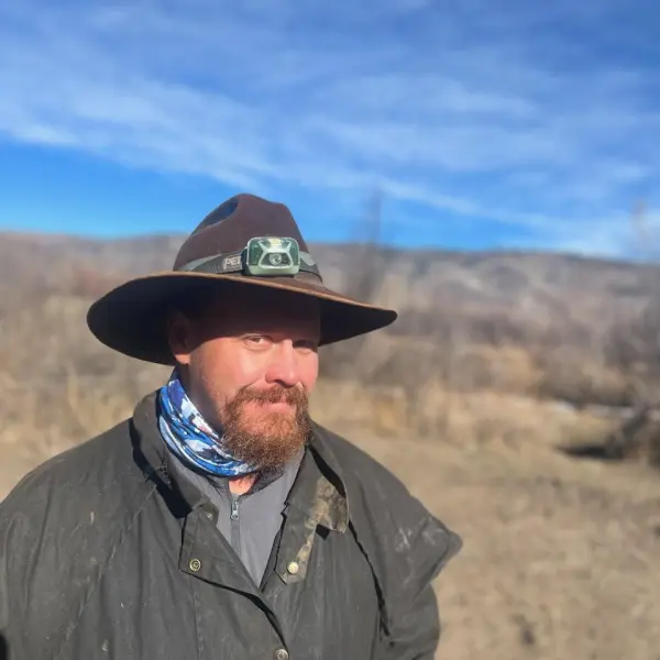
Jacob Richards. Photo credit: Writers on the Range
Looking upriver into the Gorge, I don’t see any boats fishing their way out of the wilderness, and it doesn’t take much to imagine the riverbed — a sad meander of dry cobbles bleached white, punctuated by stagnant pools full of belly-up trout.
This place, with its rugged remoteness, wild rapids and world-class trout fishing, has carved its way into my soul. I mourn for future generations who will probably know a much different river.
I feel bad for the salty guides out both trips and tips. I mourn too for the bugs that fattened the fish that paid my bills, for the mergansers, ring-tail cats and desert bighorn sheep. All need a river that’s wet.
Jacob Richards is a contributor to Writers on the Range, an independent nonprofit dedicated to spurring lively conversation about the West. He is a writer about Western environmental issues and sometime outdoor guide. He lives in Fruita in western Colorado.
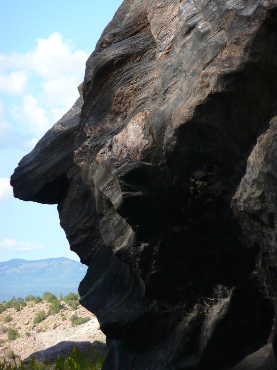
Nixon Rock, in the Gunnison Gorge. Photo: Brent Gardner-Smith/Aspen Journalism