
Click the link to read the article on the Big Pivots website (Allen Best):
This story, a collaboration of Big Pivots and Aspen Journalism, is part of a series that examines the intersection of water and urban landscapes in Colorado.
by Allen Best
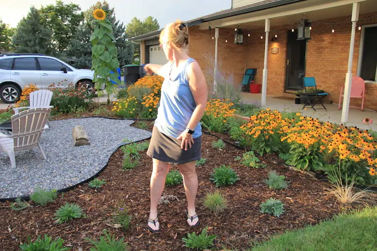
Heather Brubaker had a sprawling yard of Kentucky bluegrass at her home in Longmont. Mowing the turf took her more than two hours. During summer, her monthly water bill jumped to $400.
To what good purpose, she asked herself. “It’s not really doing anything for anybody. And the grass is not native to Colorado,” she said.
Three years later, the lot at the corner of a cul-de-sac has not shrunk. Most of it remains in grass. But in increments, Brubaker has started replacing the thirsty turf with waterwise landscaping, also called xeriscaping or Coloradoscaping.
Cactuses and rocks do not define this new front yard. Colorado’s Front Range has a semiarid climate, but it’s not in the Mojave Desert. The result has spurred Brubaker’s neighbors to inquire as to her landscaper. “I tell them that my children and I have done most of the work,” she said.
Brubaker’s front yard is part of a broad and accelerating shift in Colorado’s towns and cities. Many homeowners and some businesses have started replacing lawns of Kentucky bluegrass and other varieties of thirsty cool-weather turf with vegetation that needs less water.
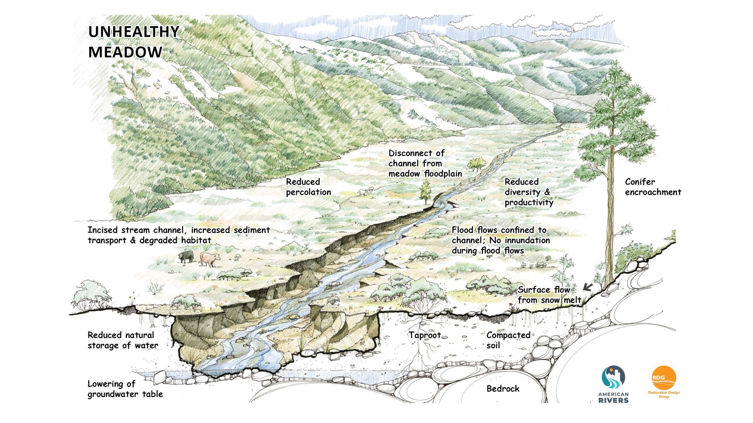
Outdoor water use constitutes roughly half of the water used in Colorado’s towns and cities. Many water utilities have offered rebates for these water-saving landscape shifts, reasoning that more-efficient use of existing water supplies will be far cheaper than development of new sources to meet growing populations. This reduced demand can also insulate them from the extremes posed by a changing climate.
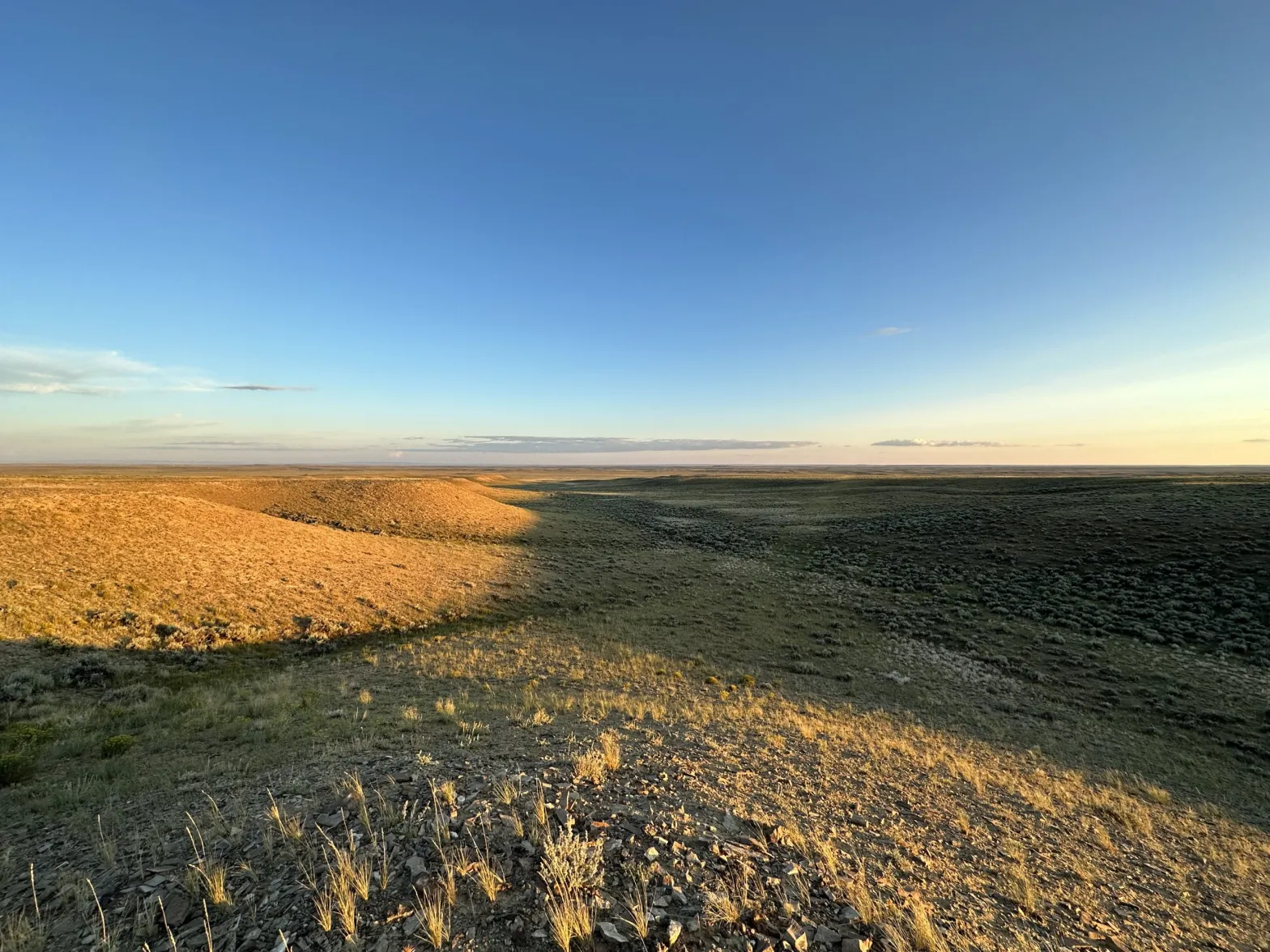
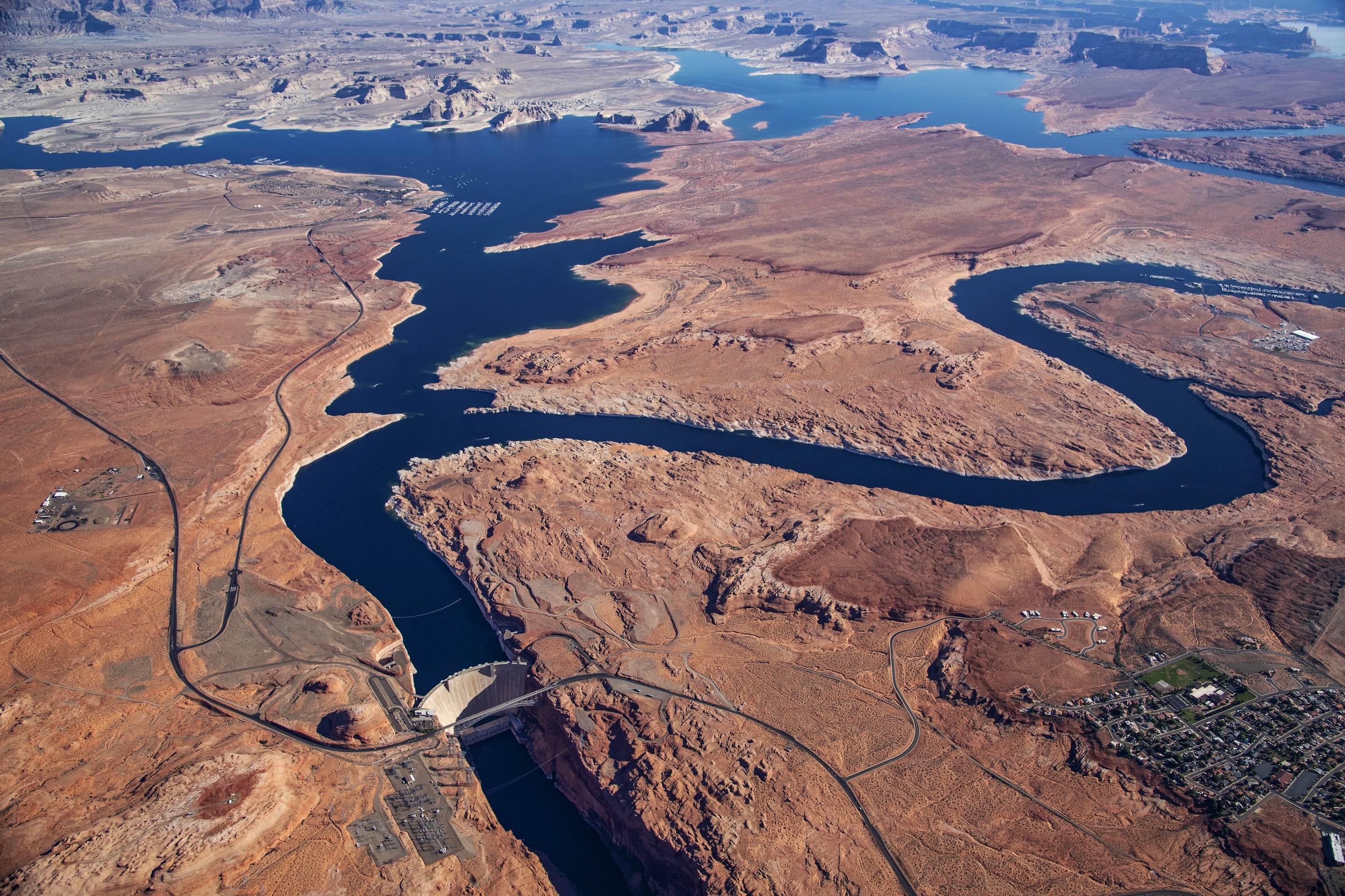
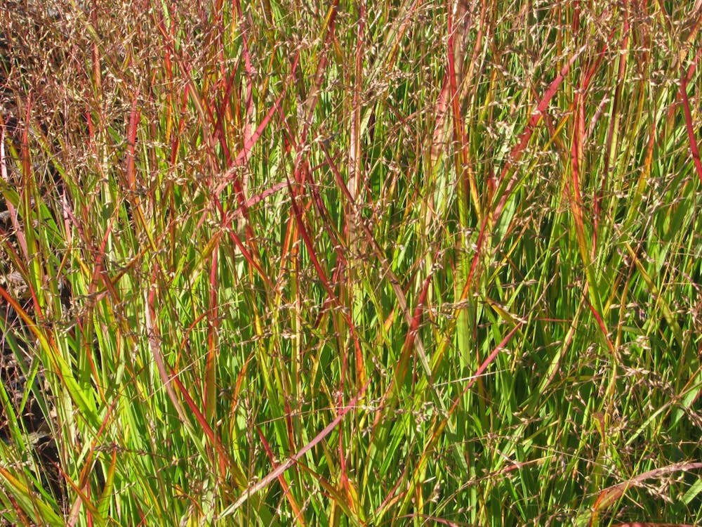
Kentucky bluegrass and other cool-weather grasses are imports from wetter climates. Philadelphia, for example, gets 44 inches of annual precipitation. Even Oklahoma City gets 36 inches. Denver averages 15.6 inches. Bluegrass requires between 24 and 29 inches of water in the metropolitan area. Waterwise landscapes can reduce outdoor water use by half and, depending upon choices, even more.
Change, however, can be hard. There’s the sod itself. Once established, it is very difficult to remove. For most homeowners, that’s the most arduous task in a landscape conversion. Deciding what to plant in place of the thirsty grass can also be perplexing.
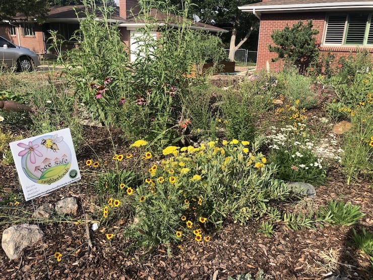
Brubaker started in 2021 with a narrow 100-square-foot strip along her front porch. She had volunteered for research being conducted by a team from Colorado State University that wanted to see how well pollinator-attracting plants would grow along the dripline of her front porch without supplemental irrigation. She now has many more buzzing visitors.
Emboldened by that success, Brubaker then applied for grants offered through Longmont’s municipal water provider. In two sequences, each involving sod removal and then plantings, she replaced other and larger portions of her front yard. The new section will need only half the water of before. She also created a place for whiling away languid summer evenings around a fire pit.
After rebates, she has spent $1,500, which will be recouped in time with reduced water bills.
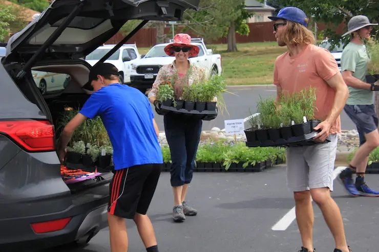
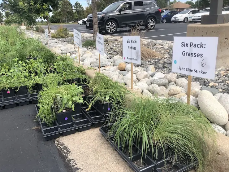
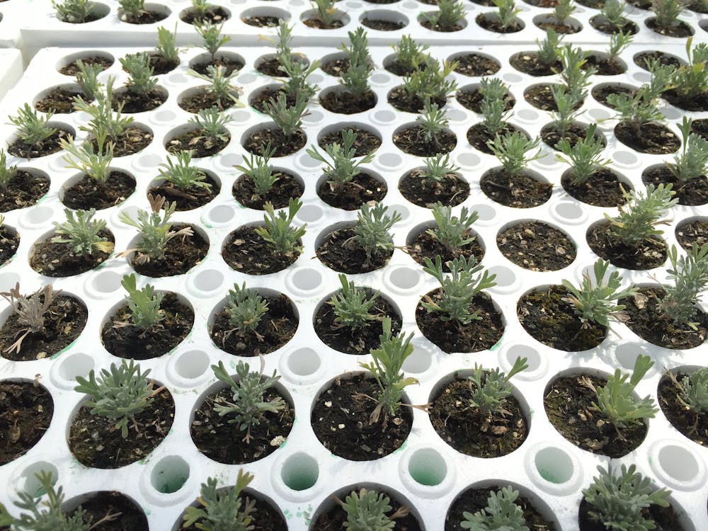
Crucial to the success of Brubaker’s transformation was Boulder-based Resource Central. Spawned by the 2002 drought, the nonprofit’s first and still most popular program is called Garden In A Box. Designed with the aid of landscape architects, these do-it-yourself kits include quart-size perennial plants, plant-by-number maps, suggestions for seasonal maintenance and recommendations for water.
You want variety? This program has it. Consumers have at least six choices based on preferences for colors, full sun or shade, and whether attracting pollinators is a goal. Each box also delivers instructions about spacing and soils. Too sandy? Too much clay? How can it best be amended? Orders are made in March for May and June plantings, and again in June for August and September plantings.
“Everything a person needs to get started is included in their packaging, and it’s laid out very simply about what plants to put together and how to maintain them,” said Brubaker. “If you’re a novice, you can still do it easily with all the education that they put into the Garden In A Box program. It really made me want to try it.”
Making it easy to conserve
Neal Lurie, executive director of Resource Central, said the nonprofit seeks to meet people where they are. Often, they are pressed for time and not fully knowledgeable. Learning about how to transform landscapes can be overwhelming.
“If you make it easy to conserve water, they will do it,” he said. “If you make it really difficult, then they will come back to it when they have time. That is the reason that so many people continue with their current landscaping year after year. It takes time to make changes.”
Resource Central this year expanded Garden in a Box offerings by 30% — and still sold out in just four weeks. This year, the nonprofit distributed 13,000 boxes while working with 47 municipal and other partners for its various programs from Fort Collins to Pueblo. It secures its plants from local nurseries who agree to grow the sets without aid of chemicals that will harm pollinators.
Those ordering can pick up their choices at central distribution locations. For example, volunteers and staff quickly delivered the boxes to cars and pickups that made their way through a queue in the parking lot of the Westminster Municipal Building on a Saturday in August. Customers arrived when they wished. Waits at fast-food restaurants are often longer.
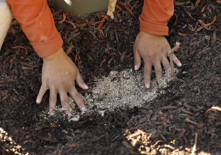
Turf removal is among Resource Central’s newer programs, a result of focus-group research that in 2019 found it was a key reason that even more people didn’t convert their lawns. Sod can be removed in several ways. All have challenges or difficult choices.
Convinced this was a needed service, Resource Central reached out to more than 30 landscape firms but found no potential partner. “The reason is that landscape service companies are in the business of mowing lawns, not removing lawns,” said Lurie.
Undeterred, Resource Central launched the service and this year removed 600 lawns, among them the plot at Brubaker’s house. This relieves homeowners of the hard part, leaving them with the fun of planting and creating. The removed turf is composted by A1 Organics and other companies.
The Colorado Water Conservation Board in September awarded Resource Central $1.6 million for turf replacement and removal. The two overlapping grants were the largest for water conservation ever awarded by the state agency. The terms require Resource Central to expand its water-conservation programs to new participants and communities. The Western Slope is one of the targeted regions.
“Our vision is to help make beautiful waterwise yards the new norm in Colorado,” said Lurie.
In many ways, Brubaker is typical of those wanting to shift their landscapes in that she hopes to be part of the answer to the West’s water limits. “I know we have a water crisis, and we have to conserve water,” Brubaker said.
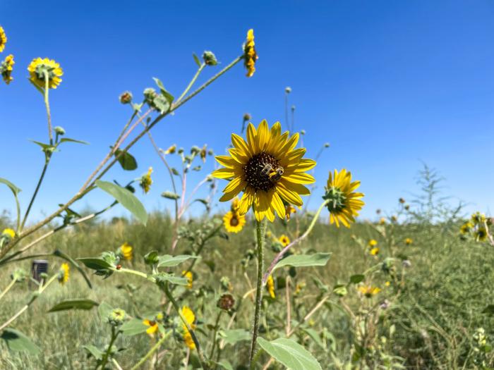
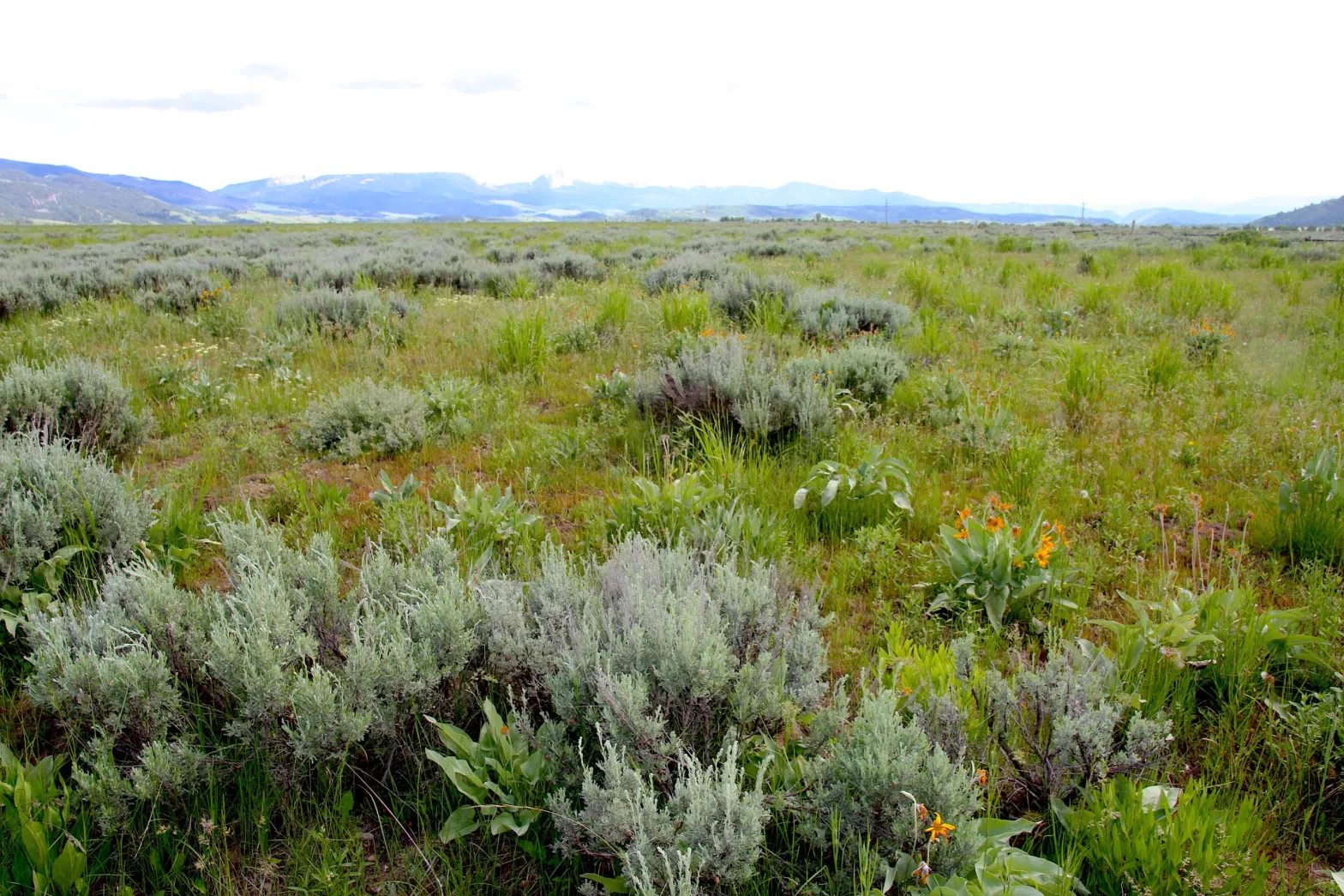
She also wanted to provide “places for the bees.” In that, she has much company. Concern about pollinators ranks third among motivations for Resource Central customers, up from seventh a few years ago. Native vegetation does that.
Once established, maintenance of native grasses can be far easier. Other low-water landscapes, though, can still require considerable work.
There’s also this: The goal of a lawn is to grow something that, once harvested, is promptly thrown away. To some, that amounts to silly.
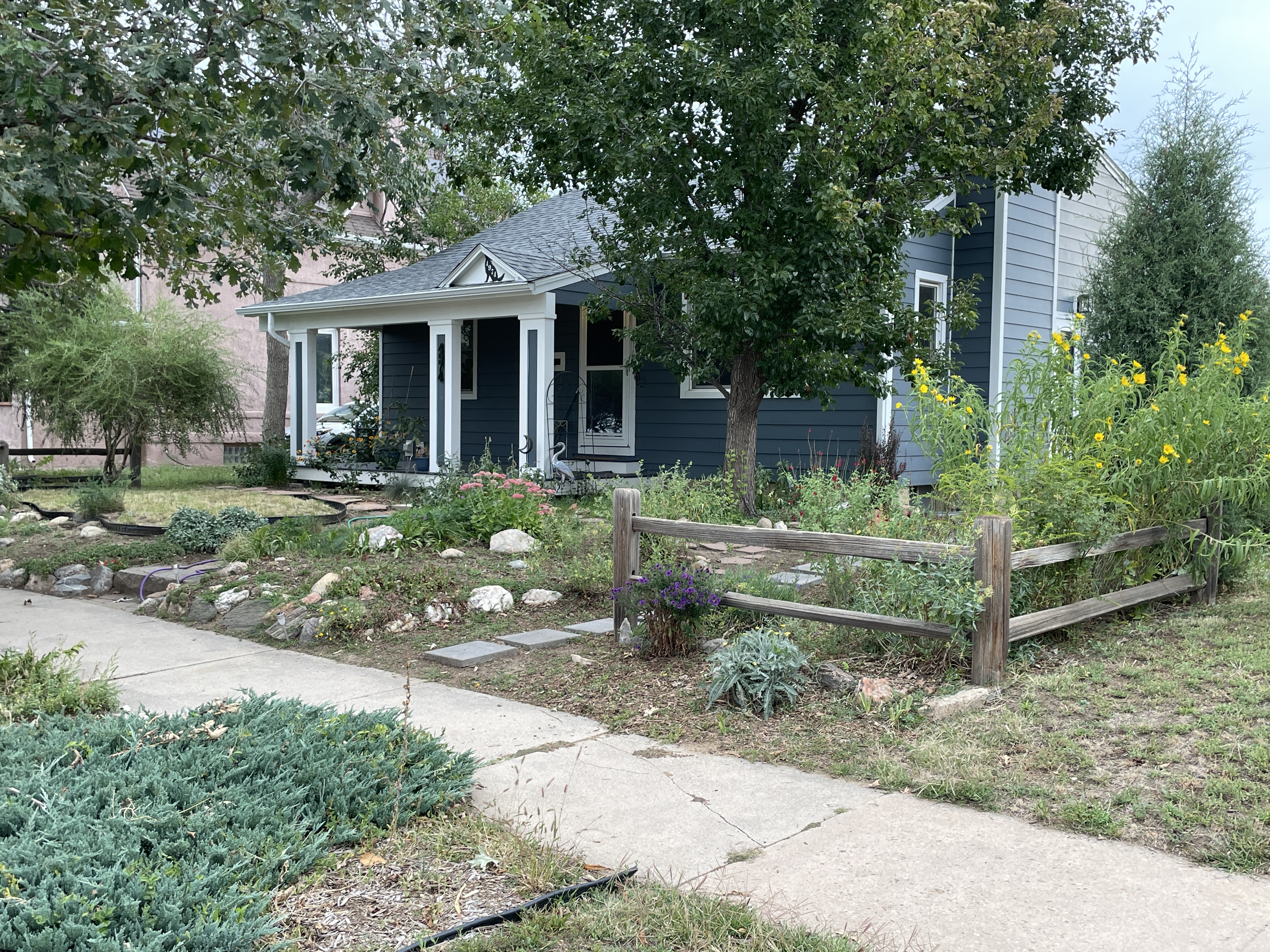
Attracting pollinators and reducing water use motivated Lois Witte. A retired water attorney, she decided last year that with her kids on their own, it was time to replace plants in her front yard with plants mostly native to the region.
Plant species with flowers from elsewhere, such as the East Coast or Europe, may attract bees and insects, said Witte. But plants native to the region will attract far more insects. After all, they evolved together.
To kill the grass, she and her husband, Scot Kersgaard, began in the late summer of 2022 using what is called a lasagna method. First came cardboard, then wood chips, followed by horse manure that a friend with a barn full of it was only too happy to share. On top of that were more wood chips, then dirt and pea-size gravel, called squeegee. Nine months of this method killed the grass — but not the bindweed.
By late this past summer, Witte’s work was enough to spur praise from neighbors out for evening walks. Little water will be needed once the new plants are established. Until then, however, they can take more water.
So, what spurred Witte and her husband? “In general, it’s a good idea, living in a semiarid environment,” she said of low-water landscapes. “We shouldn’t just be throwing water on the ground.”
When chaos can be good
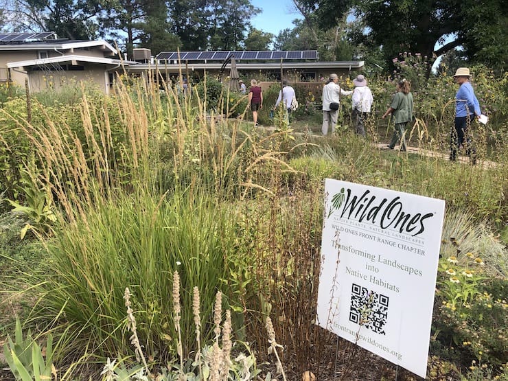
In south Denver during August, a street corner proved to be an ideal place to meet women — and a few men, too — who loved talking about birds and bees. They were on a tour organized by the Front Range chapter of the Wild Ones, a national organization devoted to the transformation of outdoor places to habitats for native species.
“We’re not going to save the world, but we’re going to do our part,” said Vicki Saragoussi Phillips. After she and her husband, Rick Phillips, began converting their Kentucky bluegrass lawn, water use dropped from 45,000 gallons a month to 15,000. They expect even less water use once the garden becomes fully established.
Vicki described her yard as a place of chaos. Vegetative chaos, she believes, is good. Most front yards in their upper middle-class neighborhood, near South Colorado Boulevard and Interstate 25, suggested a different aesthetic. They were deep green, possibly the result of chemical treatments. They were also mowed with the care that a shirt might be pressed to eliminate wrinkles.
A young woman from the neighborhood, pushing her baby in a stroller, confided to the couple that when she rounded the corner to see their yard, she felt liberated.
Resource Central classifies most of its customers as early adopters. The nonprofit hopes to see their enthusiasm for alternative landscapes expand to create a paradigm shift. And if that helps save water — well, so much the better.
“Just say no to lawns and exotics,” Leslie Klusmire said in response to a Facebook post. She lives in Monte Vista, where she now has a yard in its third year of restoration to native plants. If some neighbors were skeptical about the weeds of spring, later they were admiring her wildflowers.
“If you look at my meadow now, it’s alive,” she said in early October. “It’s full of butterflies and bees and everything. That’s the point, to create an environment for everything.”
This is not new for Klusmire. Her father, a landscaper for Caltrans, the transportation agency in California, talked frequently about how imported grasses wasted water. Studying landscape architecture at Cal Poly Pomona in the 1970s, Klusmire got the same message.
For many homeowners, finding a contractor can be a challenge. It was for Lakewood resident Rebecca Cantwell.
Cantwell grew up in Denver during the 1950s, a time of drought that resulted in Denver Water going forward with its boring of the Roberts Tunnel and the damming of the Blue River, creating Lake Dillon. Denver supplies water to Lakewood, a city of 157,000, and about half of that water comes from the Blue and other Colorado River tributaries.
“The crisis in the Colorado River is waking up a lot of people, but our long-held assumption that everyone deserves a bluegrass lawn is just not really OK anymore,” she said.
Cantwell knew she didn’t want rock and juniper bushes to replace the grass. “That’s a false choice,” she said. “I wanted something beautiful.”
She finally found a landscape contractor to execute her vision, but it took awhile.
In another part of the metropolitan area, professional landscaper Kevin Cox has been eager to help homeowners and businesses shift to what he calls “sustainable landscaping.” That generally involves eliminating all cool-weather, high-water turfs except in areas where specifically needed.
His company, Centennial-based Professional Landscape Services, has a dozen large commercial clients, a few dozen medium to smaller commercial accounts, and 80 to 90 residential homes across the metro area, including Castle Rock, Aurora and Denver.
Mowing bluegrass is part of what Cox’s company does. But he also suggests landscape alternatives. When he does, he sometimes gets pushback.
“Everyone still wants their green grass. They say, ‘I don’t want it to look like Arizona.’ I’ve heard that a thousand times,” said Cox. “The other thing I hear is the amount of money it costs to rip out grass. They say, ‘That buys a lot of water.’”
Pay now or pay later, Cox tells them. Water will only get more expensive over time.
Beyond money, Cox sees what he calls low-water landscapes being the moral high road. “It just starts with ethics. Water is a finite resource,” he said.
Although a good case can be made for keeping some cool-weather grasses, such as for ball fields and places where toddlers play, Cox finds much of it wasteful.
“I mean, some of this grass nobody even looks at. We’re the only ones that look at it. It’s just there for us to mow, especially in some of these people’s backyards. They’re not even there half the year.”
The best way for Front Range cities such as those where his customers live, Cox said, is to do it right the first time. When new homes and business parks are developed, they should create landscapes that use less water. Led by Aurora and Castle Rock, more jurisdictions are deciding that it’s better to get it right first instead of correcting later. And in early 2024, legislators are almost certain to hear a bill that would make that state policy.
Next in this series: Aurora, Castle Rock and other municipalities in Colorado have aggressively limited new water-thirsty turf. Should the state have a broader role? Legislators in January will take up a bill that would impose restrictions on new water-thirsty turf everywhere. Expect a lively debate about state vs. local control.


