A mountain lion feasting on a bull elk on the National Elk Refuge. Photo credit: Rocky Mountain Elk Foundation
Click the link to read the article on the WyoFile website (Christine Peterson):
One day about a decade ago, professional tracker and cougar researcher Michelle Peziol took a group of graduate students from Teton Science School on a walk through an aspen grove near Jackson. GPS in hand, Peziol led the class to an area where a collared mountain lion had been spending time.
As the bright sun illuminated the early summer grass at the site, Peziol noticed an almost perfect circle of darker-green grass. She looked around. Nothing obvious would have caused the grass in that precise location to be richer and more robust. Then she remembered: A lion had killed a deer in that spot the prior year. Could the remains of that deer kill have fertilized the soil?
Ten years later, Peziol and four other researchers published the answer: Yes, it could.
A new paper in the journal Springer Nature outlines how mountain lions in the Tetons create areas with more protein-rich grasses that nourish big game when the leftovers of carcasses they kill and consume decompose. Lion researcher Mark Elbroch calls it a version of “gardening to hunt,” but to Wyoming Game and Fish large carnivore section supervisor, Dan Thompson, the results further illustrate just how connected every species — from lions to deer to beetles to grass — are to one another.
“As far as mountain lion management, [this research] reinforces their role in the ecosystem,” Thompson said. “It’s important because we’re one of the few places in North America where it’s still occurring like it used to.”
As hunters and outfitters fret about predators killing big game like mule deer after a particularly harsh winter, researchers say projects like this highlight how much more there is to learn from the role each species — predators included — play on the landscape.
Killing, eating and stealing
Each of Wyoming’s large carnivores come with a buffet of preconceived notions about how it kills, what it eats and its role on the mountains and plains of Wyoming. Some generalities prove true: Wolves tend to kill in packs while mountain lions and grizzly bears, for example, are solo hunters. But while many assume the large predators kill and eat only live, big game, science is increasingly proving otherwise.
Of the meals that lions kill, they share (often not willingly) with hundreds of other species on the landscape.
“Everything from weird things like flying squirrels and mice to the usual suspects, like bears and eagles and turkey vultures,” said Elbroch, one of the paper’s co-authors and the Puma Program director for Panthera, a global wild cat conservation organization. “What that really speaks to is how energy moves in the system and how it strengthens an ecosystem by creating all these new links and food webs.”
This doesn’t mean cougars kill game and simply move along, Thompson said. Lions will eat as much as they can.
“There’s no evolutionary benefit of killing for fun,” Thompson said. “There’s no benefit in wasting food.”
But the research shows that even goopy bits of carcasses that seep into the earth before they are consumed can produce surprising results years later. After years of mapping GPS location data and collecting soil samples, Peziol’s team began to piece together a picture of how those carcasses influence the quality of the soil itself.
Connections from the ground up
Finding answers to big ecological questions requires more than a field season or two, Peziol said. It takes years of collecting information from the same locations and, in the case of this study, returning to the University of Washington with a U-Haul full of dirt.
Once Peziol and Elbroch decided to investigate the connections between lions and vegetation, Peziol began the long process of collecting thousands of samples from the Wyoming mountains.
The work began with lion collars, which sent location points to a satellite every one to two hours. If a lion stayed in a location for more than four hours, it could mean it was eating or napping. So Peziol started trekking to those locations to find out. If it had killed and cached an animal, Peziol took soil samples from directly underneath the carcass as well as 10 feet away in areas with the same conditions like sunlight and slope.
She repeated the process every three months for a year, then twice a year for three years. When vegetation began to grow at the carcass site, she plucked samples of those plants and samples from the same nearby species, again growing in similar conditions.
A U-Haul of dirt, thousands of individual samples and 13 undergraduate students analyzing soil and plant quality later, she could prove that plants growing where carcasses decomposed had higher quantities of protein.
While the same benefits may arrive from species hunted by humans — if the carcasses remain in the woods and aren’t schlepped to a landfill — the lion affected areas tended to be located in certain zones where mountain lions preferred to hunt.
That means pockets of better-quality vegetation proliferate in select areas on the landscape, Elbroch said, potentially drawing even more big game to those areas.
“To use trendy science language, we were able to definitively show that mountain lions were ecosystem engineers, and that they were creating habitat for other species,” Elbroch said.
However, knowing if, in fact, deer and elk return to those areas because of the better vegetation would entail more research not of lions, but of deer and elk themselves.
The study results remind Thompson of migrating salmon and how their decomposing bodies change water pH and add to soil nutrients, which then boosts vegetation growth that attracts more grazing animals that then bring more predators.
“It’s more than lions killing deer,” Thompson said. “It’s very easy to try to simplify the reality of what’s happening on the landscape, and by doing so we don’t give credit to these very intricately woven natural occurrences happening around us.”Tagged:WyoFile App
Christine Peterson has covered science, the environment and outdoor recreation in Wyoming for more than a decade for various publications including the Casper Star-Tribune, National Geographic and Outdoor… More by Christine Peterson
Click the link to read the article on the NRDC website (Brian Palmer):
There was more bad news on the honeybee front last week. A U.S. Department of Agriculture report found that honeybee losses in managed colonies—the kind that beekeepers rent out to farmers—hit 42 percent this year.
That number grabbed most of the headlines, but there was more troublesome data below the fold. The magic number in beekeeping is 18.7 percent. Population losses below that level are sustainable; lose any more, though, and the colony is heading toward zero. A startling two-thirds of beekeepers in the USDA survey reported losses above the threshold, suggesting that the pollination industry is in trouble.
For the first time, the USDA reported more losses in summer than winter. Experts can’t explain the reversal—especially since the colony collapse disorder epidemic that peaked several years ago seems to have abated. The summer losses may have a single, unknown cause, or a group of known and intensifying causes, such as pesticides or mites.
Today the White House followed the USDA’s report with its long-awaited plan to help maintain and grow the pollinator population, including building pollinator gardens near federal buildings and restoring government-owned lands in ways that support bees. It’s a good first step.
Albert Einstein is sometimes quoted as saying, “If the bee disappears from the surface of the earth, man would have no more than four years to live.” It’s highly unlikely that Einstein said that. For one thing, there’s no evidence of him saying it. For another, the statement is hyperbolic and wrong (and Einstein was rarely wrong). But there is a kernel of truth in the famous misquote.
Bees and Agriculture
Bees and humans have been through a lot together. People began keeping bees as early as 20,000 BCE, according to the late and eminent melittologist Eva Crane. (Yes, someone who studies bees is a melittologist.) To put that length of time into perspective, the average global temperature 22,000 years ago was more than 35 degrees Fahrenheit cooler than today, and ice sheets covered large parts of North America. Beekeeping probably predates the dawn of agriculture, which occurred about 12,000 years ago, and likely made farming possible.
How important are bees to farming today? If you ask 10 reporters that question, you’ll get 11 answers. Some stories say that bees pollinate more than two-thirds of our most important crops, while others say it’s closer to one-third. A spread of that size indicates a lack of authoritative scholarship on the subject. My review of the literature suggests the same.
The most thorough and informative study came back in 2007, when an international team of agricultural scholars reviewed the importance of animal pollinators, including bees, to farming. Their results could encourage both the alarmists and the minimizers in the world of bee observation. The group found that 87 crops worldwide employ animal pollinators, compared to only 28 that can survive without such assistance. Since honeybees are by consensus the most important animal pollinators, those are scary numbers.
Look at the data differently, though, and it’s clear why the misattributed Einstein quote is a bit of an exaggeration. Approximately 60 percent of the total volume of food grown worldwide does not require animal pollination. Many staple foods, such as wheat, rice, and corn, are among those 28 crops that require no help from bees. They either self-pollinate or get help from the wind. Those foods make up a tremendous proportion of human calorie intake worldwide.
Even among the 87 crops that use animal pollinators, there are varying degrees of how much the plants need them. Only 13 absolutely require animal pollination, while 30 more are “highly dependent” on it. Production of the remaining crops would likely continue without bees with only slightly lower yields.
OK, So Can We Live Without Bees?
The truth is, if honeybees did disappear for good, humans would probably not go extinct (at least not solely for that reason). But our diets would still suffer tremendously. The variety of foods available would diminish, and the cost of certain products would surge. The California Almond Board, for example, has been campaigning to save bees for years. Without bees and their ilk, the group says, almonds “simply wouldn’t exist.” We’d still have coffee without bees, but it would become expensive and rare. The coffee flower is only open for pollination for three or four days. If no insect happens by in that short window, the plant won’t be pollinated.
There are plenty of other examples: apples, avocados, onions, and several types of berries rely heavily on bees for pollination. The disappearance of honeybees, or even a substantial drop in their population, would make those foods scarce. Humanity would survive—but our dinners would get a lot less interesting.
Yes, that diagram again. I was chastised by readers last week for using it – partly for the ‘Antique’ in the diagram’s title, but also for not adequately explaining what the diagram shows. I apologize for the latter. These posts tend to run long and demand a lot more of readers than the 15-second attention span for which Americans are derided. But just to keep them down to a couple thousand words or so, I find myself having to go through some things too quickly in order to get to whatever point I was aiming for. Brevity unfortunately is not the soul of my wit.
But having a sense of the structure and infrastructure of our big dams is critical to understanding what is going on along the Colorado River these days, where it is easy to confuse the river itself (which is experiencing chronic low flows but is not ‘drying up’) with the ‘river management system’ (which really could dry up critical stretches of the river under the current management regime). The ‘river management system’ is the integrated set of physical structures along the river for storing the river’s water and distributing it to users – and the operating systems whereby those structures are managed.
The ‘Supplemental Environmental Impact Study’ the Bureau of Reclamation is doing now is basically an analysis of its own operating systems for the big structures on the Colorado River, and how those systems might be radically changed with an equitable distribution of impacts on humans – systems that could have been changed gradually over the past several decades, the past century even, to reflect undeniable evolving realities, both natural and cultural, but now must be done with radical surgery – the call for an almost-immediate reduction in Lower Basin uses of two million acre-feet.
This might be what life in the Anthropocene will mostly be on many fronts: learning how to live well enough with the world we have imposed on the world we found here. A recreated world where some cultural works were done naively and maybe profligately, under assumptions now needing correction – which one might hope we will learn to begin sooner rather than later – or too late, period.
Graphic via Holly McClelland/High Country News.
So it is fitting to look critically at what we’ve done along the ‘First River of the Anthropocene’ – trying not to fall into hypocritical analysis, gnawing on the hands that feed us. And on that spectrum of critical analysis, I do need to explain, if not defend, using a diagram that calls the ‘plumbing’ of a major element in the management system we’ve imposed on the Colorado River ‘antique.’
I will say first that I do not necessarily think of ‘antique’ as a derogatory term (although that was probably intended by the creators of this diagram). If an automobile is fifty years old and still running, it qualifies for an ‘antique’ license plate; that’s cool, an achievement for those who kept the car functional. I think of the word as more descriptive than judgmental: an antique is an artifact whose time is past but which reflects that time, something old but with an element of class, something that summons memories of a previous time, a time we want to remember but not necessarily carry forward.
So, being more than 50 years old at this point – is Glen Canyon Dam an antique? We can start with an examination of its ‘plumbing,’ which says something about its life and times. (My doctor uses colonoscopies for a similar analysis.)
1983 – Color photo of Glen Canyon Dam spillway failure from cavitation, via OnTheColorado.com
One piece of plumbing not shown on the diagram is the dam’s spillways – two huge ‘drains’ up at the 3,700-foot elevation, near the dam’s 3,715-foot crest (for context, 583 feet above the original streambed). The purpose of the spillways is to keep the reservoir from filling to the point where it would go over the crest. Glen Canyon’s spillways have only been used once, in 1983, when a very wet May and hot June caught the dam managers unaware, with the reservoir already too full to perform its flood-control function. The spillways proved to be not up to the task of getting the flood waters past the dam; the water pouring down them caused a cavitation problem – a million tiny ‘air-hammers’ beating on the concrete with enough cumulative force to break it up. The managers knew there was a problem when large chunks of concrete, then sandstone, started washing out the bottom of the spillway outlets. That threatened the integrity of the dam itself; it was necessary to close off the spillways, lining the top of them with sheets of plywood four feet high and praying that the water would stop rising before it topped the plywood. It did stop in time, and the dam was saved. The spillways were rebuilt, hopefully resolving the cavitation problem, and have not been used since – and at this point, given the projections about climate change, it is hard to imagine the reservoir ever being that full again. The spillways alone might qualify as ‘antiques,’ built for a river that needed them (once) but may no longer exist. (Oh great river gods, please make me eat my words!)
During the 1983 Colorado River flood, described by some as an example of a “black swan” event, sheets of plywood (visible just above the steel barrier) were installed to prevent Glen Canyon Dam from overflowing. Source: Bureau of Reclamation
For the dam managers, however, to ‘spill’ water at all is a mark of bad management; their ideal is for every gallon of water contained by the dam to be released through openings 210 feet below the spillways, at hydropower generation level, the 3,490-foot elevation (see diagram). Those openings into the dam drop the water through pentstocks a couple hundred vertical feet to turbines in generators the size of small houses; on its way to its designated use downstream, the water generates electricity. The higher the reservoir level, the more pressure the water’s weight exerts in pushing the water through the turbines; with the reservoir at high levels, the Glen Canyon generators can produce annually up to five billion kilowatt-hours of electricity. In 2022, however, with the reservoir level only around 35 feet above the pentstock inlets, it only produced 2.6 kilowatt-hours. (Bureau figures)
The Bureau’s semi-panicky call in 2022 for massive reductions in use basin-wide was based on projections forward of another couple water years like the 2020-22 period; under the current river management regime, the level of the reservoir would have dropped below the level of the pentstock intakes in a couple years, and year-round power generation would have been impossible.
The back of Glen Canyon Dam circa 1964, not long after the reservoir had begun filling up. Here the water level is above dead pool, meaning water can be released via the river outlets, but it is below minimum power pool, so water cannot yet enter the penstocks to generate electricity. Bureau of Reclamation photo.
Even if that were to happen, however, it would still be possible to move water downstream from Powell Reservoir, through river outlet works with intakes 120 feet lower down in the dam, at the 3,370-foot elevation. The river outlets there are four big pipes, each eight feet in diameter, with a total flow capacity of 15,000 cubic feet per second – when there’s a lot of water in the reservoir to push water through them. If the water pressure stayed at that level, and all four tubes worked 24/7/365, it would be possible to move around 10 million acre-feet (maf) through the dam annually and down to Mead Reservoir, roughly the amount the Bureau has been releasing from Mead for Lower Basin and Mexican use – plus the system losses for which no one has wanted to claim responsibility.
That 10 maf leaving the system at the lower end obviously becomes problematic if only 6-8 maf are flowing into the system at the upper end, as has been the recent situation. For one thing, the Bureau is not sure the outlet works can stand that kind of constant use; they are getting old, and may not have been built for constant use anyway. So if the Bureau were able to keep only three tubes running all the time, with one in maintenance mode, the amount of water that could be moved at full pressure would drop to just about the Upper Basin’s Colorado River Compact commitment – 7.5 maf plus the Upper Basin’s share of the Mexican obligation (750,000 af).
But as the water level in the reservoir dropped closer to the outlet works intakes – 6-7 maf inflow minus 8 maf outflow equals a storage decrease of 1-2 maf/year – the water pressure through the tubes would also drop, and below the 3,430-foot elevation, it would no longer be possible to push the full Upper Basin commitment to the Lower Basin and Mexico through the tubes.
Map credit: AGU
Worst case – if the reservoir level dropped below the 3,370-foot elevation, it would no longer be possible to move any water at all past the dam, even though there would still be just under two million acre-feet left in storage – the ‘dead pool.’ At that point, the Lower Basin states would either have to do something completely nonconstructive like sue somebody (Upper Basin states? Interior Department? The Bureau?), or argue about which states should pay how much to Upper Basin water users to let their water (not federally controlled) flow to Powell to try to raise the level back above the 3,370-foot elevation. And most of the Upper Basin water rights junior to the Compact are not a bunch of rugged individualist farmers and ranchers; they are the big transmountain diverters – Colorado’s Front Range cities, the Santa Fe-Albuquerque corridor, the Salt Lake basin, who are already ‘lawyered up.’
The ramshackle ‘Law of the River,’ grounded in appropriation law and followed to the letter of the laws, would have nothing to offer to relieve that situation; it is easier to imagine Paolo Bacigalupi’s ‘Water Knife’ war commencing.
That is an overview of Glen Canyon Dam’s plumbing – pretty standard for a big 20th century dam, designed to operate optimally when the reservoir is more than two-thirds full and able to maintain a full power head in releasing water through the turbines for – oh yeah, not primarily power generation, but the dam’s main job of providing dependable water for agricultural and domestic users downstream. A specific warning in the Colorado River Compact (IV(b)).
Now to the question: is Glen Canyon Dam an ‘antique’? I think, at this point, given the prognostications for the future of the regional water supply, we could truly say that the dam was built for a different era, a different river – some of which river may have existed only in the minds of the dam builders. The ‘Hassayampa romance,’ carried along, like Deacon Holmes’ wonderful one-hoss shay, ‘for a century to the day’ – the day the Bureau finally abandoned its paper surplus calculations and called a shortage.
In addition to working on new river operation protocols, the Bureau now has a team working on ways to possibly modify the dam, undoubtedly at considerable cost, maybe enlarging the outlet works, maybe generating some flow of electricity through openings lower in the dam, and maybe constructing tunnels to bypass the dam entirely, leaving Mead Reservoir as the river’s major storage.
The latter concept could relieve a problem that the dam has created for ‘today’s river’ through the Grand Canyon: the beaches and sandbars that are essential as night stops for the billion-dollar Grand Canyon recreational boating industry are eroding away, with no replacement sand and silt getting past the dam. This is being dealt with now by occasional staged ‘floods’ like the one just recently: pouring 200,000-plus acre feet of water over 2-3 days down through the Grand Canyon to stir up sediment that has slumped from the beaches down into the riverbed, in hopes that it will be redeposited on a beach downstream. Ultimately this mostly just escalates the passage downstream of all the beach material with only irregular and inadequate deposits of new material from side streams. That this ultimate losing effort was done in April 2023, with Powell Reservoir under 30 percent full, but anticipating a runoff that might get it all the way up to half-full or only half-empty, depending on your psychological inclination…. There’s an underlying desperation there that is not goimng to let us look back on this period with any pleasant sense of nostalgia. But we might look back on antiquities like Glen Canyon Dam as a reminder of the consequences of operating on assumptions and standards not fully grounded in demonstrable reality.
A problem with this analysis, however, is that for better or worse, it evaluates Glen Canyon Dam out of context. To really understand why we have Glen Canyon Dam at all, it is necessary to see our river’s physical structures in the larger context of the less visible political and legal infrastructure that led us to pile five million yards of concrete (with internal plumbing) in the river’s path in that particular place. That is another great story in the evolution of this mixed bag we call America. Up next in a couple weeks; stay tuned.
Delph Carpenter’s original map showing a reservoir at Glen Canyon and one at Black Canyon via Greg Hobbs
Hi all, and thank you for joining Audubon Rockies and conservation photographer Dave Showalter for his multimedia journey through the living Colorado River! In his new book, Living River: The Promise of the Mighty Colorado, Dave shares the beauty of the watershed and a story of resiliency and resolution to continue the work for healthy watersheds. You can watch last week’s virtual book launch event recording here.
The Colorado River existing management guidelines are set to expire in 2026. The states that draw water from it are about to undertake a new round of negotiations over the river’s future. The use of the river will be renegotiated amid climate change, reduced snowpack, and water shortages, presenting an opportunity to ensure universal access to clean water for more than 30 federally-recognized Native tribes and make the allocation of the Colorado equitable as well as sustainable.
This May is a critical time to be a voice for the river, as the United States Bureau of Reclamation seeks public comment on the Draft Supplemental Environmental Impact Statement (SEIS) to the 2007 Interim Guidelines. This SEIS evaluates different scenarios to better balance water supply in the Colorado River watershed, which will impact ecosystem health in the Grand Canyon and other areas.
The stories, art, and lifeways that deepen our relationships to water are what build the collective voice for healthy rivers that benefit wildlife and people. The Mighty Colorado changes everything it touches, including us. Here are a few ways you can join the Living River conversation:
*Audubon members, as a special thank you, get a 20% discount by using the code “LIVINGRIVERLOVE” at checkout from Mountaineers Books.
Attend another book launch event or encourage a friend to attend one. The Living River book tour is traveling the West and has both in-person and virtual events.
Take action by May 30 and urge the Bureau of Reclamation to recognize the important links between human health, stable communities, and the environment and also implement measures that better balance water supply and protect the Grand Canyon ecosystem.
Presently, there is less water in the Colorado River system than at any time in recorded history, threatening the vitality of its ecosystem. But wherever there is water, there is abundant, dynamic life. As Dave Showalter says: “The river is not dying. She flows with the same pure purpose as before we arrived.”
There’s no giving up on the Colorado for riverkeepers engaged in riparian restoration. The hard work ahead requires widespread engagement in our future, which begins with all of us asking: Where does our water come from, and who does it connect us to?
All my best and hope to see you downstream,
Abby
Updated Colorado River 4-Panel plot thru Water Year 2022 showing reservoirs, flows, temperatures and precipitation. All trends are in the wrong direction. Since original 2017 plot, conditions have deteriorated significantly. Brad Udall via Twitter: https://twitter.com/bradudall/status/1593316262041436160
In the first official scorecard of Yampa River system health, the middle section of the Yampa earned an overall score of B. That B means the middle Yampa River from Pump Station boat launch east of Hayden to South Beach about 2 miles south of Craig is a “highly functional river where some stressors are present but in general it remains largely resilient to disturbances and may rely on limited management,” said Jenny Frithsen, environmental program manager with Friends of the Yampa, which is managing the scorecard project. Within the overall score of B as part of the Yampa River Scorecard Project, the middle Yampa earns an A for dissolved oxygen, PH levels and metals in the water, “the only ecological indicators that got an A,” Frithsen reported.
The first results of the long-term scorecard project will be released fully in early May with information available at YampaScorecard.org. Data collection started in the middle Yampa in summer 2022, and the overall project will include five river sections.
During summer 2023, data collection will focus on the stretch starting from Chuck Lewis State Wildlife Area to the Pump Station boat launch.
The river scorecard is derived via approximately 45 different indicators in and around the Yampa River that fall under three main areas: ecological health and function, river uses and management, and people and community benefits.
“By seeing what areas are a C, D or F, we can now focus on action and how to improve these numbers,” said Lindsey Marlow, executive director for Friends of the Yampa. “We now have a template to start conversations with people in this basin about the health of the river and its ecosystem services.”
Marlow said another key finding that stands out is riverscape connectivity, or a measurement of the ease in which a river can move around such as a connected flood plain and river channel.
“There are areas that score so well at 95% and others that need help at 65%, and now we get to embark on the exciting task of figuring out how to improve floodplain connectivity,” Marlow said.
Glen Canyon Dam, January 2022. Jonathan P. Thompson photo.
Click the link to read the article on The Denver Post website (Bruce Finley). Here’s an excerpt:
The water gushing out of dam jets this week normally would have flowed gradually over the month of April out of Lake Powell into the river. Eventually, the water will end up in Lake Mead, the key supply for Arizona, California and Nevada. Federal officials based their recent decision to allow the simulated floods on the relatively heavy high mountain snowpack this year along headwaters of the Colorado River, which begins west of Denver near Grand Lake…
Federal hydrologists have estimated 14.7 million acre-feet of water this summer will flow from Colorado, Wyoming and Utah into Lake Powell. Since 2018, federal dam operators have declined to release water for simulated flood surges due to long-term drought and anxieties around record-low reservoir water levels, linked by scientists to climate warming and aridification of the Southwest — transformations that have left Lake Powell and Lake Mead less than a quarter full. Yet the nation’s 1992 Grand Canyon Protection Act requires efforts to ensure ecological health in the canyon, and officials established a program that includes simulated floods…
Denver Water “is supportive of the environmental flow program” in the Grand Canyon, utility manager Jim Lochhead said, lauding the effort by multiple agencies that “come together to shift water releases — not increase overall releases — in order to mimic spring hydrology through the basin, which helps to improve beaches, sandbars and aquatic habitats.”
[…]
In 1963, the construction of the Glen Canyon Dam atop the Grand Canyon disrupted essential natural processes and created Lake Powell. Sand and other sediments that for centuries moved downriver, scouring surfaces and creating beaches, suddenly were backed up on the reservoir side of that dam. And the regularized, steady flows of clear water, devoid of sediment, gradually are transforming the canyon.
Rio Grande overbanking, Albuquerque, April 22, 2023. By John Fleck
Click the link to read the article on the Inkstain website (John Fleck)
In the early 1990s, a group of New Mexico scientists set up experimental plots at the Bosque del Apache National Wildlife Refuge on the Rio Grande south of Albuquerque for in an effort to determine what might happen when water was reintroduced to the flood-starved woods flanking the river. Their description of what happened is a delight:
From time immemorial, this must have been a near-annual event, as the crickets and spiders scurried ahead of rising water each spring as the Rio Grande spread across the valley floor – bad for people trying to live here, great for the flora and fauna. From the same group of authors:
This changed in the early 1930s, dramatically, in an ecological instant as the newly formed Middle Rio Grande Conservancy District dug drainage ditches on either side of the Rio Grande and across the valley floor, throwing up the excavated dirt in spoil bank levees flanking the river’s then-main channel.
We understand what happened next thanks to a University of New Mexico biology student named Marjorie Van Cleave, who for her 1935 masters thesis documented the change. In that historic moment, plants and animals dependent on the wetlands spread across the valley floor disappeared.
Cattails – gone. Sedges, with deeper roots, hung on for a bit longer before fading into the ecological mists. Cocklebur, Russian thistle, lamb’s quarters, sunflowers, and pigweed colonized the old marshlands of the valley floor. We are forever in Van Cleave’s debt.
What we’re seeing this spring on the fringes of the Rio Grande bears so little resemblance to the valley-wide ecosystem that it seems cheap to even compare, but the careful work of Cliff Crawford, Manual Molles, and their colleagues three decades ago trying to address this question – What would happen if we reintroduced just a bit of flooding to the forests on the river’s edges? – nevertheless draws a critical connection between the Rio Grande and the community that surrounds it.
For our forthcoming book Ribbons of Green, Bob Berrens and I are interested in that critical moment in the 1930s when, with levees and drains, the valley floor around Albuquerque was disconnected from the river. The ecology was changed, suddenly, as was the connection between human communities and their river.
Much of our modern understanding of the bosque ecosystem is built on the work of Crawford and Molles, who started taking students down to the river in the 1980s. For much of the time between Van Cleave’s exhaustive work and the return of Crawford, Molles, and their students in the 1980s, little scientific attention seems to have been paid to the riverside ecosystem.
I can’t find the newspaper story I wrote based on a visit to the bosque with Cliff Crawford and his then-grad student and now my good friend Mary Harner. But I did find the obituary I wrote when Cliff died in 2010.
It’s a model in my mind for public-facing science, and I’ve been thinking about it a lot as Bob and I wrestle with how to explain, in our book, Albuquerque’s modern relationship with the Rio Grande.
Mary has done an amazing job with her Witnessing Watersheds project of thinking about and documenting Albuquerque’s historic relationship with the river, and the time I have spent with her – mostly walking in the bosque, some to think of it – has been a huge influence on how I think about and approach this question.
Given flood control flow constraints, it’s hard to to get enough water through town to rise up out of the main channel and get back into the woods these days, to get it to “come alive with hopping crickets and running spiders,” but with 2023’s big snowpack, but there enough low spots providing delightful exceptions, and we’re already starting to see it rising up into those. Lissa and I were on a bosque trail near downtown Saturday when we were stopped by the water you see in the picture at the top of the blog.
There’s a sciency thing going on here – nutrient cycling, clearing out all the dry crud built up on the forest floor that in a more “natural” system would be wetted most years. (It was, in fact, Mary Harner who turned me on to the Molles et al paper I quoted above, with the hopping crickets and running spiders, when I asked for help running down the nutrient cycling piece. It turns out to be super nerdy and I probably won’t put it in the book.)
But it’s the cultural piece that I’m more interested in – the way we as a community have shifted from a desire in the 1930s to fence ourselves off from the river completely, to embracing overbanking with delight.
As often happens with these little mini-essays – sketches, really, for the book – this didn’t end up where I expected. I started with the intention of writing about nutrient cycling – printouts of research papers scattered across my desk, underlined bits, an excessive number of browser tabs.
But I realize that this is, in fact, a story about the relationship between a community and its river.
A cottonwood forest in Bosque del Apache National Wildlife Refuge. Credit: Matthew Schmader/Open Space Division
As the Colorado Legislature this session grapples with headlining issues such as land use, firearm violence reduction and reproductive health care access, a batch of bills is also trying to pump resources into wildfire mitigation and resilience.
Experts agree that the wildfire season is longer and more intense in Colorado and the rest of the West due to the effects of climate change. The three largest wildfires in state history all occurred in 2020, and the most destructive fire — the 2021 Marshall Fire — leveled entire subdivisions in an urban area once thought relatively safe from wildfires.
It’s an issue drawing attention from statewide, regional and national leaders.
“We must continue strengthening our aerial capabilities, supporting our professional and volunteer firefighters, and preparing for a hotter, drier climate,” Gov. Jared Polis, a Democrat, said in his State of the State address to the General Assembly in January. “Getting this right is critical for the health of our communities and the future of our state.”
While there are many more than just five bills this session concerned with wildfire prevention, mitigation and containment, the five detailed below are noteworthy in their scope. Additionally, there is legislation related to buying another firefighting helicopter, exempting some taxes for people rebuilding their home after a wildfire, and adding fire damage as a condition that makes a housing unit uninhabitable, among others.
There are just two more weeks of the legislative session.
HB-1288: Fair Access To Insurance Requirements Plan
Colorado home and business owners who cannot secure adequate property insurance because of wildfire risk could obtain an insurance plan of “last resort” under a bill from Democrats House Speaker Julie McCluskie of Dillon and Rep. Judy Amabile of Boulder.
“The overarching goal is that we don’t have another Marshall Fire experience where people wake up after the fire and realize that they’re dramatically underinsured,” Amabile told reporters last week.
Roughly two-thirds of the homes lost in the Marshall Fire may have been underinsured, according to data collected by Colorado’s Division of Insurance.
The bill would set up a board to run that quasi-state insurance plan for property owners who can prove they are unable to get insurance from a private company. As the threat of wildfires grows in Colorado, the bill sponsors said it has become more challenging for certain property owners to get coverage as private insurers become skittish.
“Even if that hasn’t happened yet, we can see that that is what is on the horizon. This bill helps us get out in front of a looming problem so that we will be ready when we need it,” Amabile said on the House floor last week.
The program would be a safety net, not intended for widespread use instead of private insurance.
The bill passed through the House 48-15 on third reading on April 21. Its Senate sponsor is Sen. Dylan Roberts, an Avon Democrat.
SB-166: Establishment Of A Wildfire Resiliency Code Board
Perhaps one of the most sweeping bills related to wildfires this session aims to create a new board to adopt a statewide building code for wildfire resiliency. The 21-member board would be tasked with defining high-risk areas in the wildland-urban interface — that transition area between wilderness and developed land — and creating a minimum building and landscaping code for local governments to adopt.
“There’s a lot of data that this is one of the very best ways we can prevent fires from devastating our state. A minimum code is hugely impactful,” bill sponsor Sen. Lisa Cutter, a Littleton Democrat, said on the Senate floor earlier this month. A similar effort was abandoned last year towards the end of session.
Bill sponsors point to data that shows $1 spent on hardening homes can prevent between $4 and $8 in damage.
The bill is also sponsored by Democrats Sen. Tony Exum of Colorado Springs, Rep. Meg Froelich of Englewood and Rep. Elizabeth Velasco of Glenwood Springs.
“This is about community resiliency. This is about community safety and making sure we are ready for the next event,” Velasco told reporters last week.
The bill, which has cleared the Senate, passed through the House Appropriations Committee on April 21.
The East Troublesome Fire burns north of Granby on Oct. 22, 2020. (Chase Woodruff/Colorado Newsline)
SB-5: Forestry And Wildfire Mitigation Workforce
A bipartisan bill aims to bolster the state’s workforce as related to wildfire mitigation, specifically when it comes to timber and forest management. It would authorize the expansion and creation of forestry programs at higher education institutions, with some receiving financial support to train students quickly.
“In Colorado, we’re estimated to be 20 to 50 percent understaffed in peak wildfire season, so we must do everything we can to increase educational resources and the recruitment of our frontline firefighters,” bill sponsor Sen. Sonya Jaquez Lewis, a Longmont Democrat, said on the Senate floor earlier this month.
The bill would also include high school outreach and set up internships with the timber industry in partnership with the Colorado State Forest Service.
The bill is also sponsored by Cutter, House Minority Leader Mike Lynch, a Wellington Republican, and Marc Snyder, a Manitou Springs Democrat.
It has already passed the Senate and passed on third reading in the House on Monday.
HB-1273: Creation Of Wildfire Resilient Homes Grant Program
Snyder was Manitou Springs mayor when the Waldo Canyon fire devastated the community in 2012, forcing tens of thousands of people to evacuate and destroying 346 homes. This year, Snyder is running two wildfire-related bills in the Legislature.
HB-1273 would create a grant program to help homeowners make their houses more resilient against wildfires. The grants could pay for best practices and materials for new builds, as well as retrofitting and structural improvements to existing houses.
“A lot of this is common sense — you mitigate 100 feet from your home any vegetation that’s flammable. But there’s a lot of other small changes that you can make,” Snyder told reporters earlier this month. Other improvements could include replacing roofing and siding material or closing open soffit vents to prevent embers from getting inside a house.
It would be housed within the Division of Fire Prevention and Control in the Department of Public Safety.
The grant program would have $2 million to start, but Snyder thinks that getting it up and running will make it easier to effectively use incoming federal dollars.
The bill made it through the House Agriculture, Water and Natural Resources committee on April 13. Democratic Rep. Junie Joseph of Boulder is also sponsoring the bill.
HB-1075: Wildfire Evacuation And Clearance Time Modeling
Another Snyder bill would direct the state’s emergency management office to study the feasibility of an evacuation and clearance time modeling system that would help residents understand various evacuation routes and the time it might take to evacuate during a wildfire.
Snyder said that a public-facing interface with that information could be a helpful pre-evacuation tool for residents in high-risk areas.
“When they ask everyone to leave at once, it can be a real nightmare. We saw what happened in Paradise, California, when a lot of people perished in their vehicles trying to flee,” he said, referring to a 2019 fire that killed 85 people.
The bill is also sponsored by Joseph and Democratic Sen. Tony Exum of Colorado Springs.
It made it through the House on April 11 on a 51-10 vote. It passed through its Senate committee on April 20 and was referred to the Senate Appropriations Committee.
Last week, the Bureau of Reclamation, the federal government agency that oversees and manages operations on the Colorado River, announced the authorization of a spring High Flow Experiment (HFE) in the Grand Canyon. This is a big deal since the last time an HFE was conducted was in the fall of 2018, and the last time a spring HFE was executed was in 2008. And with the COLORADO RIVER IN THE GRAND CANYON NAMED AS AMERICA’S MOST ENDANGERED RIVER® just last week, we are thrilled that this action is happening to benefit the ecosystem in the canyon.
WHAT IS AN HFE?
A High Flow Experiment is in essence a simulated flood being conducted through Glen Canyon dam. In practice, the dam releases a high volume of water, usually through both the hydropower turbines and the bypass tubes, which are lower-elevation tubes through the dam that are usually only used for these short duration floods or in other unique situations (like releasing water during the extreme inflows of 1983) over a limited period of time. HFE’s are extremely important to the management of sand in the canyon and the healthy functioning of the Grand Canyon riparian ecosystem overall.
To set the stage even further, let’s go back to the time before the creation of Glen Canyon Dam. The Colorado River traditionally carried millions and millions of tons of sediment down the river each year. Since Glen Canyon was built, most of that sand has been trapped in the upper reaches of Lake Powell – as flows slow down as the river becomes the lake, the sediment drops out and settles (up near Hite and Halls Crossing and then the San Juan as it enters the lake as well.) The result is that the water coming through Glen Canyon dam is very clear, lacking the traditional sediment that would be carried by the river and maintaining beaches and sandbars and the natural ecological benefits of that silty, sediment-laden water throughout the canyon. This clear water erodes sand from beaches and sandbars, and for decades in the 1970’s and 1980’s was causing real problems with the canyon’s ecology. In the 1990’s and early 2000’s, some experiments were conducted to begin to learn how these floods might act and how they might contribute to sand and other ecological functions within the canyon. Then, in 2016, the Long Term Experimental and Management Plan (LTEMP) was completed and set the guidelines for how and how frequently future HFE’s could be conducted.
Now, the Paria River, which is about 17 miles downstream from Glen Canyon dam (and about a mile below the put-in at Lee’s Ferry) is the main source of sediment into the Grand Canyon. When the Paria River flashes (most commonly during the summer monsoon season) it can deposit tons of sand – sometimes more than a million tons of sand – in a summer. This sand is what can be pushed downstream in an HFE to rebuild beaches and sandbars, and aid in the protection of cultural resources throughout the length of the canyon.
The author preparing to measure the volume of sand at this Grand Canyon beach using geodetic survey techniques | Photo by Katie Chapman
One of the elements within these LTEMP guidelines is how and when these HFE’s may be conducted, and how often the program should try to make them happen. Sadly, they have not happened often enough, and the canyon is really suffering because of it. Since the last HFE in 2018, there have been complications with declining water levels across the basin but felt most acutely in Lake Powell as elevations have declined to record lows. Then in 2021 and 2022, the monsoons delivered abundant sand through the Paria into the Colorado River, but unfortunately also caused a lot of erosion of beaches downstream as these monsoon storms ripped across Grand Canyon and the Colorado Plateau.
Today, we are celebrating the decision by the Bureau of Reclamation to use this opportunity to trigger one of these HFE’s to move the volume of sand currently sitting near the mouth of the Paria to rebuild beaches and sandbars, repair the ecology, and aid the protection of cultural resources downstream.
Glen Canyon Dam | Photo courtesy of National Park Service
Reclamation was able to make this decision based on several factors. First, due to the drought operations conducted over the past two years, there is a good amount of water parked in Lake Powell to protect the hydropower infrastructure at Glen Canyon dam that had to be moved downstream sometime this year. Second, the sand is there and the damage to the beaches in the canyon is glaring. Third, the water sitting in Lake Powell right near the dam (in an area above the dam called the “forebay”) is quite cold, which could aid aquatic species downstream. And lastly, there is a window of time where Reclamation and the hydropower providers can shift the timing of some needed maintenance at the dam to free up the opportunity to have all 8 hydropower penstocks and some of the bypass tubes available to actually conduct the high flows through the dam.
This week’s HFE will be pretty dramatic, both visually and scientifically. The flow will begin early Monday morning (April 24, 2023) and last into Thursday evening (April 27, 2023.) The dam will ramp up releases to 39,500 cubic feet per second (CFS) and hold that for 72 hours straight creating a flood that will flow all the way to Lake Mead over a period of about a week, rebuilding sandbars and beaches along the way (and giving rafters in the canyon an exciting ride!) One additional key point to understand is that HFE’s consume no net loss of water in Lake Powell – after the HFE occurs, Glen Canyon dam will release slightly less water than normal over a period of weeks, in order to make up that amount of water that is shot downstream, yet another benefit in the design in these critically important High Flow Experiments.
High Flow Experiment Pattern
Again, we applaud the Bureau of Reclamation, the scientists at USGS’ Grand Canyon Monitoring and Research Center, and everyone else who has been working hard to make one of these HFE’s happen for years. We are looking forward to seeing the great results that will come out of this event very soon.
(To learn more about the Grand Canyon’s history and ecosystem, check out our new STORY MAP, CAUGHT IN THE MIDDLE – we think you will love it!)
Glen Canyon Dam during high flow experimental release about a decade ago. These occasional releases are just about the only time the river outlet works (where water is gushing out above) operate. Photo credit: Jonathan P. Thompson/The Land Desk
Click the link to read the article on the AZCentral.com website (Shaun McKinnon). Click through for video and a photo gallery. Here’s an excerpt:
The Bureau of Reclamation opened the bypass tubes at Glen Canyon Dam early Monday and began three days of high water flows from Lake Powell to help improve environmental conditions on the Colorado River through the Grand Canyon. It’s the first such high-flow experiment at the dam since 2018 and the first during spring runoff season. The goal is to move accumulated sediment downstream and begin to rebuild beaches on the river that have eroded in recent years. The engineered flood mimics some of the river’s pre-dam flows, when snowmelt runoff from the mountains far upstream would raise water levels and redistribute sediment. Since Glen Canyon Dam’s completion in 1963, the water flowing into the Grand Canyon has carried less sediment, much of the river’s sand and other materials trapped behind the dam.
Releasing more water from Lake Powell won’t change the total amount of water that flows through the system this year, bureau officials said. The water will arrive at Lake Mead earlier than it would have otherwise and remain there until it’s needed downstream. Dam operators began raising water flows early Monday, first through the power plant turbines and then through bypass tubes on the side of the dam. By mid-morning, water gushed from the tubes into the river at the dam’s base, the start of a journey downstream through the Grand Canyon toward Lake Mead. The amount of water released will fluctuate over the three days, but the bureau said the high flows will peak at about 39,500 cubic feet per second, or as much as quadruple the average output from the dam. The water releases will return to normal operations by Thursday.
In the arid regions of the American Southwest, an unseen world lies beneath our feet. Biocrusts, or biological soil crusts, are communities of living organisms. These industrious microbes include cyanobacteria, green algae, fungi, lichens and mosses, forming a thin layer on the surface of soils in arid and semiarid ecosystems.
Biocrusts play a crucial role in maintaining soil health and ecosystem sustainability, but they are currently under assault. Human activities including agriculture, urbanization and off-road vehicle use can lead to the degradation of biocrusts, having long-term consequences for these fragile environments. Climate change is also placing stress on biocrusts, which struggle to adapt to sunlight and searing heat in arid landscapes like the Sonoran Desert.
In a proof-of-concept study, ASU researchers adapted a suburban solar farm in the lower Sonoran Desert as an experimental breeding ground for biocrust. During the three-year study, photovoltaic panels promoted biocrust formation, doubling biocrust biomass and tripling biocrust cover compared with open areas with similar soil characteristics. Graphic by Shireen Dooling
To help with this issue, Arizona State University researcher Ferran Garcia-Pichel and his students have proposed an innovative approach to restoring healthy biocrusts. The idea is to use new and existing solar energy farms as nurseries for generating fresh biocrust.
Safely shielded from the sun beneath arrays of solar panels, like beachgoers under an umbrella, the biocrusts are sheltered from excessive heat and can flourish and develop. Ultimately, the newly generated biocrusts can then be used to replenish arid lands where such soils have been damaged or destroyed.
Help for desert soil
In a proof-of-concept study, ASU researchers adapted a suburban solar farm in the lower Sonoran Desert as an experimental breeding ground for biocrust. During the three-year study, photovoltaic panels promoted biocrust formation, doubling biocrust biomass and tripling biocrust cover compared with open areas with similar soil characteristics.
When biocrusts were harvested, natural recovery was moderate, taking around six to eight years to fully recuperate without intervention. However, when harvested areas were reinoculated, the recovery was much faster, with biocrust cover reaching near-original levels within one year.
The researchers emphasize that the use of similar, but larger, solar farms could provide a low-cost, low-impact and high-capacity method to regenerate biocrusts and expand soil restoration approaches to regional scales. They have dubbed their pioneering approach “crustivoltaics.”
The study estimates that use of the three largest solar farms in Maricopa County, Arizona, as biocrust nurseries could empower a small-scale enterprise to rejuvenate all idle agricultural lands within the county, spanning more than 70,000 hectares, in under five years. Among many environmental benefits, this restoration effort has the potential to significantly decrease airborne dust presently impacting the Phoenix metropolitan region.
“This technology can be a game changer for arid soil restoration,” Garcia-Pichel said. “For the first time, reaching regional scales at our fingertips, and we could not be more excited. To boot, crustivoltaics represents a win-win approach for conservation of arid lands and for the energy industry alike.”
Garcia-Pichel is a Regents Professor in the School of Life Science and the founding director of the Biodesign Center for Fundamental and Applied Microbiomics. The center amalgamates researchers that study assemblages of microbes, or microbiomes, acting in unison in various settings, from humans to animals and plants, to oceans and deserts. Garcia-Pichel’s lab has specialized in the study and applications of desert soil microbiomes.
The group’s findings appear in the current issue of the journal Nature Sustainability, in a publication co-lead by graduate student Ana “Meches” Heredia-Velásquez, and former graduate student Ana Giraldo-Silva, now a professor at the Public University of Navarre in Spain. A separate briefing of this contribution appears concurrently in Nature.
Living matrix
Biocrusts are complex ecosystems researchers have only recently begun to explore. Among their many functions, they act to stabilize soil by binding soil particles together, minimizing the loss of topsoil caused by wind and water. They contribute to nutrient cycling by fixing atmospheric nitrogen, a process where nitrogen gas is converted into ammonia, making it available to plants. Cyanobacteria, which are present in biocrusts, are the primary organisms responsible for this process.
Photosynthetic activities within biocrusts play a role in carbon storage by fixing atmospheric carbon dioxide. This process can help mitigate some of the effects of climate change by removing CO2 from the atmosphere. Biocrusts also increase the soil’s water-retaining capacity, allowing more water to infiltrate the soil and reducing runoff. This helps to improve water availability for plants and other organisms in arid ecosystems.
Finally, biocrusts support a diverse community of microorganisms that contribute to overall ecosystem biodiversity and resilience.
Drylands, which make up approximately 41% of the Earth’s continental area, are experiencing severe degradation due to human activities and climate change. The communities of microorganisms on soil surfaces are vital to protect and fertilize these soils and are essential for dryland sustainability. However, current biocrust restoration methods involve high effort and low capacity, limiting their application to small areas. Existing methods have struggled to replenish more than a few hundred square meters of land.
Solar solutions
The research suggests that solar farms serve as biocrust hotspots, as the elevated photovoltaic panels create a greenhouse-like microclimate promoting biocrust development. Although crustivoltaics is a slower and weather-dependent method compared to greenhouse-sized biocrust nurseries, it has many advantages. The technique requires fewer resources, minimal management and no upfront investment. Indeed, the use of crustivoltaics is 10,000 times more cost effective than current methods, according to the research findings.
The next steps will involve implementing crustivoltaics at regional scales through the cooperation of scientists, collaborative agencies, land users and managers. Use of the technique can provide incentives to solar farm operators, including reduced dust formation on solar panels and increased revenue from carbon credits.
The crustivoltaic approach has the potential to offer a dual-use solution for both solar power generation and biocrust restoration on a large scale while also providing socioeconomic benefits. This method could play a significant role in the restoration and sustainability of dryland ecosystems.
Denver Water is one of 18 partners who signed the Colorado River Cooperative Agreement in 2013, ushering in a new era of cooperation between the utility and West Slope stakeholders, all with the vested interest in protecting watersheds in the Colorado River Basin.
As part of that agreement, a process called “Learning by Doing” was created, which has helped the utility stay better connected on river conditions in Grand County. The partnership is a collection of East and West Slope water stakeholders who help identify and find solutions to water issues in Grand County.
“Denver Water has been part of Grand County for over 100 years, and we understand the impact our diversions have on the rivers and streams,” said Rachel Badger, environmental planning manager at Denver Water.
“Our goal is to manage our water resources as efficiently as possible and be good stewards of the water — and Learning By Doing helps us do that.”
A colorful signpost welcomes visitors to Jamestown. Jamestown residents have joined forces with multiple agencies in a project funded in part by the St. Vrain and Left Hand Water Conservancy District to restore the forest and the James Creek watershed. Credit: Jerd Smith
On the hillsides that rise above James Creek in Jamestown, Colorado, west of Boulder, the yards of mountain homes and the forests that surround them are dotted with trees decorated with pink and blue ribbons.
It’s festive, but not in the usual sense.
Jamestown lies in the headwaters of Left Hand Creek, a tributary of the St. Vrain River. The pink trees will be kept, while those flagged in blue will be cut down in a careful thinning project designed to protect a watershed farther downstream that serves farmers and thousands of people in communities such as Lyons and Longmont.
The watershed is a critical part of the St. Vrain and Left Hand Water Conservancy District, an agency charged with overseeing and managing the St. Vrain River, a major system in the larger South Platte River Basin on Colorado’s Front Range.
The people of Jamestown have been working for years to find funding to protect their community from wildfire and to protect James Creek. Tree cutting is expensive, sometimes costing $1,000 just to remove one tree.
Trees marked for forest health initiative above James Creek in Jamestown, Colorado. Credit: Jerd Smith
But thanks to a property tax increase the district’s voters approved in 2020, as well as an influx of COVID relief money to the state, and new federal funds for infrastructure and jobs, the people of Jamestown and the St. Vrain district now have access to the money they need to reshape and improve their water systems in ways that benefit supply, recreation, the environment and agriculture.
If state and federal funding proposals come through, and some already have, the district will have more than $240 million to work with. For perspective, that is 60 to 80 times the size of the district’s annual $3 million to $4 million operating budget.
Similar big federal funding opportunities exist for other water districts, and policy makers across the state are looking to the St. Vrain district to lead by example.
Alex Funk, senior counsel and director of water resources at the Theodore Roosevelt Conservation partnership is tracking the streams of new cash. He says the opportunities to modernize water systems and improve the state’s farms and rivers now are huge.
“It’s unprecedented in its scope and scale,” Funk said. “There has never been this amount of federal money available all at once. In that sense, we are in uncharted territory.”
That’s not lost on Sean Cronin, executive director of the St. Vrain and Left Hand Water Conservancy District.
Plume of subtropical moisture streaming into Colorado September 2013 via Weather5280
After the floods of 2013, the district saw its streams and water systems devastated. Desperate to rebuild, small communities, ditch companies and watershed groups, as well as the St. Vrain district, began banding together to apply for federal and state emergency assistance.
“The flood introduced us to new friends,” Cronin said.
From that grew a ballot initiative in 2020 that has raised millions of dollars in property taxes.
Though statewide water tax proposals have had little success among Colorado voters, St. Vrain’s was one of two local districts that year that succeeded. The Glenwood Springs-based Colorado River Water Conservation District also won approval to raise taxes to protect and improve the regions water sources.
“The fact that we had a plan that looked at all things regarding water and wasn’t specifically for a single water outcome is part of why we succeeded,” Cronin said. “People embrace looking at things holistically.”
Credit: St. Vrain and Left Hand Water Conservancy District
Energized by the win, the district launched into planning and design on a range of modest projects.
And then the federal funding deluge began. Now the district is in the running for $240 million to improve infrastructure and restore streams, and improve agricultural irrigation systems, among other projects.
Todd Boldt oversees the federal Emergency Watershed Protection program in Colorado at the Natural Resources Conservation Service as well as other major grant-making programs that are now flush with cash.
He said one of his agency’s priorities is to get the word out about federal funding opportunities and to ensure even small water districts have the resources to do the planning, engineering and design work needed to begin the grant process.
He credits the St. Vrain district with being well-planned and well-organized at the starting line.
“This is complicated stuff,” Boldt said. “We’re at a critical juncture in time.”
If the St. Vrain and Left Hand team succeeds, its ditches, streams, wetlands, reservoirs and farm fields could look significantly different in seven to 10 years.
High in the mountains, for instance, a historic diversion system will be brought into the 21st century. More than 130 years old, the structure is difficult to access and maintain. Soon it will be rehabilitated so that it can be monitored and operated remotely to make sure water is accurately counted and properly diverted.
“We’re trying to squeeze every last drop out of our system,” Cronin said.
In fact, there are dozens of diversion structures in this sprawling district that includes prized recreational streams, thousands of acres of farms, rich wetlands, and cities.
Sean Cronin and John McClow at the 2014 CFWE President’s Award Reception
Cronin and his team are reaching out to everyone, funneling the cash they’ve raised into matching grants and offering assistance to partners.
Another part of the district’s strategy is to grow water supplies where possible, and to do so in a way that doesn’t require the purchase of farm-tied water rights and the subsequent dry up of farm fields.
This year, for instance, the district began its own cloud-seeding program, which is forecast to increase water derived from annual snow storms by 5% to 10%.
Funk said the work in the St. Vrain and Left Hand district is encouraging.
“We need to see more of that. We want people to think creatively about these [federal] funds,” he said.
Back up in Jamestown, St. Vrain’s Jenny McCarty, a water resources specialist, has been monitoring the forest restoration work. She believes the initiative could serve as a template for other community-based, multi-property-owner watershed health projects.
In the mountains, while it’s helpful for one property owner to thin trees and remove slash, the impact is limited, McCarty said.
“These property owners like their privacy. Their contribution to the project has been to allow all those trees to be cut down,” she said. “It’s the collective effort that makes a difference.”
Jerd Smith is editor of Fresh Water News. She can be reached at 720-398-6474, via email at jerd@wateredco.org or @jerd_smith.
Glen Canyon High Flow Experiment November 2013 via Jonathan Thompson
Click the link to read the article on the AZCentral.com website (Brandon Loomis). Here’s an excerpt:
Grand Canyon advocates are celebrating a decision by federal water managers to unleash a three-day pulse of high water from Glen Canyon Dam to rebuild beaches and improve environmental conditions on the Colorado River. The high-flow experience is scheduled to start Monday. Environmentalists, river runners and others had sought such a flood release, outlined under the dam’s adaptive management program, for years. Healthy monsoon rains had pushed tons of sand into the river, but had also gouged the beaches and sandbars that create natural backwaters and campsites for river trips. Opening the dam’s floodgates before the fresh sediment gradually washed downstream could push the sand up to form new beaches. Their efforts previously ran into the reality of declining water behind the dam in Lake Powell, where the U.S. Bureau of Reclamation was trying to hold back enough water to keep generating hydropower. In response under the Grand Canyon Protection Act of 1992, the agency can release floodwaters when the Paria River dumps sufficient sand below the dam, but had not done so since 2018. This winter, the Rocky Mountains piled up more snow than at any time since 2011, with enough water content to raise the reservoir by dozens of feet.
Before and after photos of results of the high flow experiment in 2008 via USGS
Reclamation’s Upper Colorado Region confirmed the plan on Tuesday. On Friday, the agency sent interested parties a memo explaining its decision to go ahead with a 72-hour release of extra water beginning Monday. Dam operators will open bypass tubes to roughly quadruple the river’s flow to 39,500 cubic feet per second.
The government has conducted several such high-flow experiments in the past, but this will be the first to occur in spring, the natural time for flooding before Glen Canyon Dam’s completion in 1963.
“A springtime (flood) is an opportunity to see all the natural processes that are kicked in by a high flow and see how they respond,” said Kelly Burke, who directs Wild Arizona’s Grand Canyon Wildlands Council.
In the race to protect homes and communities ― and water supplies ― from the intensifying threat of wildfire, Front Range organizations spent urgent years hustling to thin dense and overgrown forests in scattered patches.
Cutting trees and clearing brush ideally would ease the risk of catastrophic fire by reducing what could burn and slowing a fire’s spread in a less crowded forest.
In September 2019, firefighters quickly contained the Payne Gulch fire in Pike National Forest. Work done in 2017 to reduce the density of the trees in the area, from 256 to 44 trees per acre, helped make it more difficult for the 2019 fire to spread rapidly. Photo credit: U.S. Forest Service.
And that was true. But the approach, while well-meaning and understandable, also was disorganized and scattershot.
“Organizations were frantically out there working on their own,” explained Madelene McDonald, a watershed scientist at Denver Water focused on protecting water supplies from wildfire. “These were shotgun treatments, or what is sometimes called ‘random acts of restoration.’ It was 500 acres here, then 300 acres there.”
Things are changing ― for the better. And Denver Water is at the forefront.
With greater coordination, more resources and a more strategic approach, agencies and communities are beginning to create larger, more connected swaths of thinned-out forests.
Experts believe these larger swaths can better prevent the kind of massive damage to waterways, reservoirs — and the forests themselves — that have marked the last quarter-century of epic wildfire in Colorado.
“We are recognizing that we can’t be working independently. We need to be collaborating and doing strategic cross-boundary planning. We can get far more done together,” McDonald said. “The risk is still there, but we are moving the needle.”
Focus on the Pike National Forest
One of the clearest examples of this strategic shift can be found in the South Platte Ranger District, in a region near Bailey located south and west of Denver.
Here, partnerships involving the U.S. Forest Service, Denver Water, the Colorado State Forest Service and other state and local organizations are driving landscape-scale work that will provide greater protection for forests and for Denver Water’s supplies in an era of a warming climate and hotter, larger, more damaging forest fires.
A view of the trees, now stacked as logs, that were thinned as part of the Jerome Miller/Miller Gulch Project to reduce wildfire risk and protect the North Fork of the South Platte River, a key supply for Denver Water. Photo credit: Denver Water.
Much of the work is occurring under the banner of the Jerome Miller/Miller Gulch Project, an effort focused on an area of the Pike National Forest that lies between the North Fork and the South Platte rivers and upstream from where the two waterways merge near Strontia Springs Reservoir, a temporary pool for 80% of Denver Water’s supply.
The project is expanding a series of forest treatments in the region that collectively are designed to limit future fires ability to spread quickly and grow in intensity. That, in turn, should lessen wildfire impacts to the North Fork of the South Platte, a stretch that conveys critical supplies of water flowing from Dillon Reservoir to the metro area.
Parts of this general region in the South Platte River watershed were the epicenter of two major fires in 1996 and 2002 that together burned more than 150,000 acres, devastated landscapes and left reservoirs clogged with thousands of tons of sediment that poured from the scorched, treeless landscape left by the fires.
Those two fires, named the Buffalo Creek and Hayman, set Denver Water and other land management agencies on the course they are on today ― to collaborate on the ground to ease the risk of future catastrophic fires.
Examples of success
Already, the partnership’s work has resulted in tangible success stories.
In 2019, a fire broke out in an area called Payne Gulch in the Pike National Forest. As part of a series of forest management projects in the region, this area had been thinned in 2017.
“The fire could have blown up to be a pretty catastrophic fire, but wildland firefighters were able to access and suppress the fire effectively because of the thinning,” McDonald said. “That’s a shining example of where we’ve seen this work pay off. The connectivity between treated areas is increasing and attracting more and more work in that area.”
This photo shows the result of work to reduce forest density in the Jerome Miller/Miller Gulch Project on U.S. Forest Service land. Photo credit: Denver Water.
In perhaps the highest profile example, the partnership’s work to develop fuel breaks protected about 1,400 homes and as much as $1 billion in value in Silverthorne during the Buffalo Fire in Summit County in 2018. The work has also protected Denver Water’s Dillon Reservoir, Denver Water’s largest water storage facility.
Success has many fathers (as the saying goes), but there’s little question that Denver Water’s From Forests to Faucets partnership with the U.S. Forest Service, Natural Resources Conservation Service, Colorado State Forest Service and Colorado Forest Restoration Institute is a key part of the story driving greater investment and partnerships to get ahead of big fires in Colorado.
All told, partners have committed more than $96 million to the From Forests to Faucets partnership, from its inception in 2010 through work planned into 2027.
In total, Denver Water and partners have treated more than 120,000 acres of forested land since 2010, with nearly two-thirds of that within the South Platte Basin. Local organizations involved in the South Platte Basin work include Jefferson County Open Space, Jefferson Conservation District, Aurora Water and the Coalition for the Upper South Platte.
Feds point to Colorado
Federal officials gathered Feb. 9 for a news conference in Broomfield to highlight new congressional funding for forest work and called such partnerships in Colorado “a template for the nation.”
At that event, Homer Wilkes, the U.S. Department of Agriculture Undersecretary of Natural Resources and Environment, announced $37 million in federal money for priority landscapes along the Front Range in 2023, including areas in the South Platte watershed.
Last year, the region attracted $18 million in federal dollars. All of that money comes on top of recent funding at the state level of more than $80 million.
“Investing proactively in protecting forests and watersheds is a smart business decision. You can see our partners increasingly understand that as state and federal resources pour in to help reduce the impacts of, and potential for, big fires,” said Christina Burri, who has for years developed and strengthened Denver Water’s interagency collaboration.
Burri noted that with the new flow of state and federal money, Denver Water is seeing up to a tenfold return on the utility’s investment into From Forests to Faucets.
“It is amazing to see,” she said.
Outgoing Denver Water CEO/Manager Jim Lochhead said the big rise in funding to protect water supplies and communities is a tribute to Denver Water’s years of focus on the issue.
“It is just one more example of how a utility can achieve results by leaning into collaboration and partnerships, and by leading in innovation,” Lochhead said.
In August of 2022, Denver Water commissioners joined the utility’s watershed scientists to visit the area being treated as part of the Jerome Miller/Miller Gulch Project. Left to right: Alison Witheridge, Christina Burri, Commissioner Craig Jones, Commissioner Dominique Gómez, Madelene McDonald, Commissioner Tyrone Gant. Photo credit: Denver Water.
THREAT: CLIMATE CHANGE AND OUTDATED WATER MANAGEMENT
The Colorado River’s Grand Canyon is one of our nation’s, and the world’s, greatest natural treasures. A sacred place of deep cultural significance, it is also a beloved recreation and travel destination, and home to endangered plants and animals. But rising temperatures and severe drought driven by climate change, combined with outdated river management and overallocation of limited water supplies, put this iconic river at serious risk. As it makes critical decisions about water management along the Colorado River, the Bureau of Reclamation must consider the environment a key component of public health and safety and prioritize the ecological health of the Grand Canyon.
The Ohio River unifies 30 million people across 15 states, from New York to Mississippi. Protecting this precious resource is essential to ensuring the endurance of cultural identity, historical significance, biodiversity, vibrant river communities, and safe drinking water. But the upper river is threatened by industrialization and pollution, recently exemplified by the East Palestine train derailment. This ongoing chemical disaster underscores the vulnerability of the Ohio River and need for increased safeguards and durable funding for additional and continuous monitoring. To protect the Ohio River, Congress must designate the river as a federally protected water system and commit to significantly fund both the Ohio River Restoration Plan and Ohio River Valley Water Sanitation Commission’s technical upgrades.
The Pearl River is one of the most biodiverse rivers in the U.S. and the primary drinking water source for Jackson, Mississippi. But this natural treasure is threatened by a devastating private real estate development scheme masquerading as a flood control project. This “One Lake” project would dredge and dam the Pearl River to create new waterfront property, destroying vital fish and wildlife habitat, worsening Jackson’s flooding and drinking water crisis, increasing toxic contamination, and reducing freshwater flows critical to the region’s important seafood and tourism economies. The Biden administration must stop this project and invest in environmentally-sustainable flood relief for the predominantly Black community of Jackson while protecting the Pearl River and all the communities and economies that rely on it.
Ansel Adams The Tetons and the Snake River (1942) Grand Teton National Park, Wyoming. National Archives and Records Administration, Records of the National Park Service. (79-AAG-1). By Ansel Adams – This tag does not indicate the copyright status of the attached work. A normal copyright tag is still required. See Commons:Licensing., Public Domain, https://commons.wikimedia.org/w/index.php?curid=118192
Salmon in the Columbia-Snake River basin are on the brink of extinction in large part due to four dams on the lower Snake in eastern Washington. Restoring salmon runs and honoring treaties and responsibilities with Tribal Nations across the region requires removal of these four dams. Momentum and support for this river restoration effort is growing, but it is critical that the hydropower, transportation, and irrigation services of the dams are replaced before dam removal can begin. The region’s congressional delegation and the Biden administration must act with urgency to invest in infrastructure so that the dams can be removed, setting the Northwest on a course to climate resilience, economic strength, abundant salmon, and cultural revitalization.
The Clark Fork is a regional boating and angling destination and supplies some of the richest habitat in the lower 48. Throughout European settlement and industrial development, the Clark Fork was the backbone of large-scale enterprises that left a legacy of pollution and ecological damage. Community members, advocates, Tribes, and government officials are among many who have been helping to heal the river, however, the shuttered Smurfit-Stone pulp mill threatens to reverse the gains made. Sitting along four miles of the Clark Fork downstream of Missoula, Montana, Smurfit-Stone is poisoning the groundwater and river with dioxins and heavy metals. These pollutants threaten fish and wildlife and put the health of Tribal subsistence fishers at risk. Through federal Superfund law, the polluters are responsible for cleaning up the site.
The Eel River once teemed with abundant native fish and other wildlife, supporting the Wiyot, Sinkyone, Lassik, Nongatl, Yuki and Wailaki peoples, who have lived along the river since time immemorial. Today the river’s Chinook salmon, steelhead, and Pacific lamprey are all headed toward extinction in large part because of two obsolete dams that make up Pacific Gas and Electric’s Potter Valley Hydroelectric Project. Together the dams completely block salmon migration and harm river habitat. The license for the dams recently expired and PG&E no longer wants to operate the facilities. It’s up to federal regulators to require PG&E to remove the dams as part of the decommissioning plan, expected during the fall of 2023.
The Lehigh River near Jim Thorpe, Pennsylvania, 24 June 2002. By The original uploader was Malepheasant at English Wikipedia. – Transferred from en.wikipedia to Commons by Matthiasb using CommonsHelper., CC BY-SA 2.0, https://commons.wikimedia.org/w/index.php?curid=4495692
The Lehigh River, flowing out of the Appalachian Mountains and through the densely populated Lehigh Valley region, is the “backyard river” for half a million people, and the keystone to Northeastern Pennsylvania’s outdoor recreation industry. The areas that surround the river offer outdoor gathering spaces and accessible recreation opportunities for folks throughout the watershed, but especially in the cities of Allentown, Easton, and Bethlehem. But as the region becomes the logistics hub of the eastern seaboard, with over four square miles of warehouses and distribution centers built to date, the river’s health is at risk. Unless federal, state and local decision makers act to improve protections for local waterways, the area’s clean water and wildlife habitat could suffer irreversible harm.
But the Palmer Project, a proposed copper and zinc mine, is about to move to the next stage of development, which could release hundreds of thousands of gallons of toxic wastewater per day into nearby creeks that feed directly into the Klehini and Chilkat rivers, potentially crippling the entire ecosystem of the Chilkat Valley. This is in addition to the already concerning impacts of climate change, such as rapid glacier melting and a historic increase in rainfall. Congress and the Environmental Protection Agency (EPA) must act now to ensure the fundamental protections guaranteed by the federal Clean Water Act are not abandoned and a grave environmental injustice is not allowed.
Fishing on the Gallinas River near Las Vegas, New Mexico, Date: 1886 – 1888?
J.R. Riddle Collection,
Palace of the Governors Photo Archives, New Mexico History Museum, Santa Fe, New Mexico.
THREAT: CLIMATE CHANGE AND OUTDATED FOREST AND WATERSHED MANAGEMENT
New Mexico’s waterways are among the most vulnerable in the United States. The Rio Gallinas is the poster child for the adverse impacts—both ecological and cultural — of climate change on Southwestern watersheds. The river provides water for Las Vegas, New Mexico, and for the traditional acequia irrigation system. Drinking water, farming, and overall watershed functionality are all threatened by climate change and outdated forest management practices. Furthermore, without a good connection to its floodplain and a loss of wetlands, the Rio Gallinas is less able to naturally store the water needed to maintain flows during periods of drought.
The Okefenokee Swamp — a unique wetland nearly half a million acres in size — is threatened by a proposed titanium mine, which government agencies predict would result in permanent and unacceptable damage to this special place. In 2022, the U.S. Army Corps of Engineers abdicated its responsibility for oversight of the proposed mine. The Corps’ decision leaves permitting to the Georgia Environmental Protection Division, which must deny the permit applications for this ill-advised project. The Corps should make it clear that a federal Clean Water Act permit is required for the proposed mine. Perhaps no clearer case exists for why meaningful wetland protections at the federal level under the Clean Water Act are so important.
Last month, Sir David Attenborough called on United Kingdom residents to “go wild once per week”. By this, he meant taking actions which help rather than harm the natural world, such as planting wildflowers for bees and eating more plant-based foods.
Australia should follow suit. We love our natural environment. But we have almost 10 times more species threatened with extinction than the UK. How we act can accelerate these declines – or help stop them.
If you go for a bushwalk, you might wonder what the problem is. Gums, wattles, cockatoos, honeyeaters, possums – everything is normal, right? Alas, we don’t notice what’s no longer there. Many areas have only a few of the native species once present in large numbers.
We are losing nature, nation-wide. Our threatened birds are declining very rapidly. On average, there are now less than half (48%) as many of each threatened bird species than in 1985. Threatened plants have fared even worse, with average declines of over three quarters (77%).
Biodiversity loss will have far-reaching consequences and is one of the greatest risks to human societies, according to the OECD.
The small choices we all make accumulate to either help or harm nature.
Seeing common birds like rainbow lorikeets can make us think everything is fine in the natural world. John Morton/Flickr, CC BY
Our top ten actions to help biodiversity
1. Choose ASC and MSC certified seafood products
These labels tell you the seafood is a sustainable choice. Image: MSC/ASC, Author provided
Why? Why? Overfishing is devastating for fish species. By-catch means even non-food species can die in the process. Good wild fishery and aquaculture practices minimise impacts to biodiversity.
2. Keep your dog on a leash in natural areas – including beaches
Why? Off-leash dogs scare and can attack native wildlife. When animals and birds have to spend time and energy fleeing, they miss out on time to eat, rest and feed their young.
Where to start: Look for local off-leash areas and keep your dog leashed everywhere else.
Walk your dog on a leash in natural areas so it can’t chase and scare native wildlife. Jaana Dielenberg
3. Cut back on beef and lamb
Why? Producing beef and lamb often involves destroying or overgrazing natural habitat, as well as culling native predators like dingoes.
Where to start: Eat red meat less often and eat smaller portions when you do. Switch to poultry, sustainable seafood and more plant-based foods like beans and nuts. Suggest a meatless Monday campaign in your friend and family group chat to help wildlife – and your own health.
What a delicious looking veggie burger! Reducing beef and lamb consumption is a relatively easy way to reduce your impact on nature, given the wide range of vegetable, poultry and sustainable fish alternatives. Theo Crazzolara/Flickr
4. Donate to land protection organisations.
Why? These organisations protect land in perpetuity. Donations help them expand and do important on-ground biodiversity management.
You can help threatened species like this critically endangered mala by donating to private land conservations organisations that do on-ground biodiversity management. Wayne Lawler/Australian Wildlife Conservancy.
5. Make your investments biodiversity-friendly
Why? Many funds include companies whose business model relies on exploiting the natural environment. Your money could be contributing. Looking for biodiversity-positive investments can nudge funds and companies to do better.
Where to start: Look at the approach your superannuation fund takes to sustainability and consider switching if you aren’t impressed. You could also explore the growing range of biodiversity-friendly investment funds.
6. Donate to threatened species and ecosystem advocacy organisations
Why? These groups rely on donations to fund biodiversity advocacy, helping to create better planning and policy outcomes for our species.
7. Plant and maintain a wildlife garden wherever you have space
Why? Our cities aren’t just concrete jungles – they’re important habitat for many threatened species. Gardening with wildlife in mind increases habitat and connections between green space in suburbs.
Where to start: Your council or native nursery is often a great source of resources and advice. Find out if you have a threatened local species such as a butterfly or possum you could help by growing plants, but remember that non-threatened species also need help.
Gardens can provide valuable habitat for native animals in urban areas and help them to move between larger habitat patches. Jaana Dielenberg
8. Vote for political candidates with strong environmental policies
Why? Electing pro-environment candidates changes the game. Once inside the tent, environmental candidates can shape public investment, planning, policy and programs.
Where to start:Look into local candidate and party policies at every election. Consider talking to your current MP about environmental issues.
9. Desex your cat and keep it inside or in a cat run
Why?Research shows every pet cat kept inside saves the lives of 110 native animals every year, on average. Desexing cats avoids unexpected litters and helps to keep the feral cat population down.
Where to start: Keep your cat inside, or set up a secure cat run to protect wildlife from your cute but lethal pet. It’s entirely possible to have happy and healthy indoor cats. Indoor cats also live longer and healthier lives.
Cats are excellent pets – and excellent killers of wildlife if let loose. Shutterstock
10. Push for better control of pest animals
Why? Pest species like feral horses, pigs, cats, foxes and rabbits are hugely destructive. Even native species can become destructive, such as when wallaby populations balloon when dingoes are killed off.
Where to start: Look into the damage these species do and tell your friends. Public support for better control is essential, as these issues often fly under the radar.
Making a difference
Conservation efforts may seem far away. In fact, our daily choices and actions have a considerable effect.
Talking openly about issues and actions can help these behaviours and habits spread. If we all do a small part of the work and support others to do the same, we will see an enormous effect.
Wyoming Game and Fish Department comments cast doubt on irrigators’ claims that a 264-foot-high dam proposed in Carbon County will benefit fisheries, riparian zones and wetland-wildlife habitats.
The dam proposed for the West Fork of Battle Creek above the Little Snake River on the Medicine Bow National Forest would provide 6,000 acre-feet of late-season irrigation to ranches near Baggs, Dixon and Savery and in Colorado. The 700-foot-long concrete dam and associated 130-acre reservoir would also provide a “minimum bypass flow” to improve fisheries in downstream creeks and rivers, according to the proposal.
The reservoir itself could be a “brood facility” and refuge for native Colorado River cutthroat trout, a species of conservation concern, the Wyoming Water Development Commission and others say.
As dam backers’ plans were opened to formal public review and comment earlier this year, however, critics challenged the rosy ecological picture and accounting of public benefits claimed by water developers.
Among these critics is Wyoming’s own Game and Fish Department, which says construction and operation of the dam would cause “substantial negative impacts on the aquatic and fisheries resources in the West Fork Battle Creek, Battle Creek and Little Snake River drainages.”
Even though mitigation efforts are “likely” to offset such impacts and may conserve and enhance fish and wildlife habitat, the wildlife agency expressed reservations about the project.
“Given the complexity of ecological systems and inherent uncertainties about project operation and impacts and future climate and hydrology,” Game and Fish wrote in nine pages of comments, “it is not known if the proposed project will benefit fisheries, riparian, and wetland wildlife habitats, as suggested by the proponents.”
In-stream flow vs. bypass
Wyoming’s wildlife agency made its comments along with 935 other individuals and organizations as the Natural Resources Conservation Service, a federal agency tasked with aiding agriculture on private lands, analyzes the project through an environmental impact statement. Eight hundred ninety-nine commenters opposed dam construction and an associated land swap with the Medicine Bow National Forest that would enable it.
Game and Fish offered six pages of recommendations for how to potentially alleviate some of the dam’s impacts. Those include a program to wipe out non-native trout from a network of creeks that extends about six miles upstream of the dam site. Colorado River cutthroat trout would then be planted in an artificial “brood facility” in the reservoir and upstream.
The valley in which the West Fork dam and reservoir would be constructed. (Angus M. Thuermer, Jr./WyoFile)
In launching the plan to dam the West Fork of Battle Creek, dam backers declared benefits would accrue to “fisheries, riparian and wetland wildlife habitats, and water-associated recreation,” according to a legal notice published in the Federal Register.
“Ecological objectives … include improvements to aquatic ecosystems and riparian habitats by supplementing stream flows during low-flow periods, and … to terrestrial habitat associated with irrigation-induced wetlands,” the notice posted by the NRCS states. “Benefits are expected to accrue to these attributes [downstream] to the confluence with the Yampa River including improvements to both cold water and warm water sensitive species.”
Fisheries below the dam could benefit from 1,500 acre-feet earmarked for bypass flow, a 483-page Wyoming study says. Bypass water that would be released from the dam would maintain a minimum flow for about 4 miles downstream.
Nothing in the plan as currently written, however, would prevent any irrigator from taking water out of the creek below that point and using it for irrigation.
“Without an in-stream flow water right, once released from the bypass flow account in West Fork Reservoir, the water could be used or diverted for other purposes,” Jason Mead, interim director of the Wyoming Water Development Office wrote in an email. Nevertheless, “[m]ost of the water released solely for habitat flow purposes, according to hydrologic models, occurs during the non-irrigation season months,” Mead wrote. “[T]here are no irrigation diversions below the [proposed] West Fork Reservoir on the West Fork of Battle Creek or Battle Creek until it runs on to private land.”
‘Habitat units’
The 4.8-mile reach of Battle Creek that runs across private land would benefit from approximately 1,414 new fishery “habitat units” if the dam were built, according to Wyoming’s study. A “habitat unit” supports about one pound of trout per acre. Together, the new aquatic productivity “could facilitate additional private enterprise investment which could generate direct private fishing benefits of $144,228 annually,” the Wyoming Water Development Office says in the 2017 study.
That money would increase through an economic theory known as an “indirect benefit multiplier,” producing $379,320 in private benefits annually and $8.2 million over 50 years, Wyoming’s plan states.
Little Snake River agricultural lands along the Colorado-Wyoming border. Angus M. Thuermer, Jr./WyoFile)
That, plus other “instream flow benefits,” are estimated to generate $35 million in public benefits in the dam’s half-century life, the WWDO study states. All told, the state forecasts $73 million in public benefits. That sum justifies the state paying for most of the 2017-estimated $80 million project price tag.
“Given the unique location of the West Fork Reservoir project, its most valuable recreation attribute may be its isolated location which provides a sense of solitude that some recreationalists seek and consider priceless,” the state study reads.
In a comment letter, downstream ranch owners Sharon and Pat O’Toole said the proposed dam “offers multiple benefits,” and would offset the city of Cheyenne’s water diversions from the Little Snake River Basin.
“An environmental benefit would include creating and enhancing wetlands and riparian habitats upstream from the West Fork Reservoir, and improving stream habitat to sequester copper and other metals” from an abandoned mine, the O’Tooles wrote. “The created wetlands and improved stream channel could also provide wetland and stream channel mitigation for the project.
“Our family owns all the private land on Battle Creek,” the couple wrote, adding that “in the lower reaches we have Colorado Cutthroat Trout,” along with other species.
“Haggerty Creek [above the site of the proposed reservoir] used to provide habitat for this species of interest, and could again, with the benefit provided by the dam. The proposed dam would offer value to the recreating public. It would provide a fishery on Haggerty Creek and downstream that does not presently exist.”
John Cobb, chairman of the Little Snake River Conservation District, an irrigation group, wrote that there are “many self-mitigating aspects of this [dam-building] alternative with the potential to drastically offset any potential negative impacts.” Dam construction could “result in a net benefit to the native ecosystems and human economies that thrive within the proposed service area of this project,” his comment reads.
The project would also contribute to the goals of the Colorado-based Yampa, White, Green Roundtable, a consortium of river users, according Jonathan Bowler, watermaster for the Savery-Little Snake River Water Conservancy District that applied to build the dam. Among those is a goal to develop a system to reduce water shortages and meet environmental and recreation needs, he said in a presentation to the group.
Professional, expert critique
In addition to Game and Fish comments on the plan, reaction includes reviews and criticism from angling and conservation groups.
Wyoming proposes to swap state property for federal land to enable construction, and budgets $594,000 of the estimated $80 million project cost for wetland and stream mitigation, public documents state.
Without endorsing construction, Wyoming Trout Unlimited recommended that any plan include funding for non-native brook trout removal and other conservation measures, Kathy Buchner, Wyoming TU Council chair and two other TU officers wrote. Other groups were more critical.
Little Snake River watershed S. of Rawlins, Wyoming via the Wyoming Water Development Office.
“Five years of construction will destroy the present aquatic habitat for all populations of vertebrate and invertebrate species and terrestrial wildlife habitat,” wrote Brian Smith, a former Wyoming water development technician who operated the nearby High Savery Dam and Reservoir where Game and Fish established a similar Colorado River cutthroat trout reserve. “Spawning migrations that have occurred [in and above Battle Creek] presumebly (sic) since the last ice age by CRCT will be terminated. The Little Snake River Drainage is one of only 3 in the State of Wyoming, where the CRCT exist.”
The nonprofit American Rivers also criticized the state plan saying the proposed project could threaten year-round water in the Belvidere Ditch upstream of the proposed reservoir. That ditch is “a WGFD stocking source of cutthroat trout,” and disruption there could harm “these valuable populations.”
Matt Rice, the group’s Colorado River Basin program director, said threats to the ditch could damage “one of the only remaining healthy populations of cutthroat trout [and] could perhaps push the species sufficiently to the brink to merit a federally endangered listing.” The dam would further reduce flows downstream, including in the Yampa River “with additional consequences for protection and recovery of pikeminnow and other sensitive species,” Rice wrote.
A promise of ecological benefits downstream is unsubstantiated, wrote Ben Beall, Friends of the Yampa president. He said that was “a questionable claim given the project’s stated primary purpose is to supply late season irrigation water and the limitation of capacity of the bypass account in the reservoir.”
Forest staffer worried
Worries about the dam’s impacts and a lack of critical review emerged well before the NRCS opened the issue for comments. When the Medicine Bow began preparing for a potential land swap two years ago, a staff hydrologist became alarmed that the dam’s effects wouldn’t be thoroughly analyzed.
The Medicine Bow distributed a briefing paper to its staff that included language “taken from the water development justifications/benefit promotional material and adopted by FS management/lands staff w/o consultation of fisheries professionals,” Medicine Bow hydrologist Dave Gloss wrote to colleagues.
The Medicine-Bow distributed the briefing paper after dam backers had held several meetings with national forest officials and put the bureaucratic wheels in motion for the land exchange, according to an email chain obtained by WyoFile through a Freedom of Information Act request.
“There is much more to the aquatics story,” Gloss wrote, “including the upstream reaches above the reservoir not supporting fish populations due to metals contamination and dewatering from an irrigation ditch, the in-reservoir and downstream trade-offs from altered flow, etc.
“If I could achieve one thing related to this project, it would be an honest and critical look at the social and environmental effects …” Gloss wrote.
He held out little hope for that “honest and critical” look. “There are a lot of factors in play making that approach very unlikely at the moment …” his email read.
A Medicine-Bow spokesman earlier this year wrote that Gloss’s worries are now unfounded. In briefing papers like the one Gloss complained about, “external opinions are encouraged to be included in the full range of information, as they help give situational awareness,” spokesman Aaron Voos wrote in an email. Information in the briefing paper was appropriately cited to make clear it came from project proponents, he wrote.
Further the Medicine Bow will consider the social and environmental effects of the dam and a wide range of public input and values for the public lands, water and resources involved, Voos wrote. “That will be accomplished with the EIS. We are a cooperating agency in that process and will be involved.”
The Medicine Bow, however, has no plans to peer-review Wyoming’s study of public benefits that justifies state funding of the dam, Voos wrote. The NRCS also said it will not peer-review the 483-page Wyoming Little Snake River final report of 2017.
“At this time we cannot say whether or not the Little Snake River Supplemental Storage Level II Phase II Study Report will be used in the land exchange feasibility analysis,” Voos wrote. “[H]owever, it could be used as a reference document during the feasibility analysis or at other points in the land exchange and NEPA processes.”
Following a visit to the Gila River Indian Community, Deputy Secretary of the Interior Tommy Beaudreau, Senior Advisor to the President and White House Infrastructure Implementation Coordinator Mitch Landrieu, and Deputy Bureau of Reclamation Commissioner David Palumbo announced up to $233 million in historic funding and conservation agreements to help the Gila River Indian Community and water users across the Colorado River Basin protect the stability and sustainability of the Colorado River System. They were joined by federal, state, local and Tribal leaders.
The visit is part of the Biden-Harris administration’s Investing in America tour to highlight the opportunities that the Bipartisan Infrastructure Law and Inflation Reduction Act are creating. Combined, these laws represent the largest investments in climate resilience in the nation’s history and provide unprecedented resources to support the Administration’s comprehensive, government-wide approach to make Western communities more resilient to drought and climate change.
“Through the Bipartisan Infrastructure Law and Inflation Reduction Act, we have historic, once-in-a-generation investments to expand access to clean drinking water for families, farmers and Tribes,” said Deputy Secretary Beaudreau. “In the wake of record drought throughout the West, safeguarding Tribal access to water resources could not be more critical. These types of agreements will support Tribal communities through essential water infrastructure projects and support water conservation in the Colorado River System.”
“Water is a sacred resource and crucial to ensuring the health, safety and empowerment of Tribal communities,” said Deputy Commissioner Palumbo. “The Bureau of Reclamation is hard at work to support projects that have long awaited this kind of funding — projects that are integral to protecting the Colorado River System and the communities that rely on it. By working together, we can ensure the longevity of the basin.”
The Gila River Indian Community will receive $50 million in funding from the Inflation Reduction Act via the Lower Colorado River Basin System Conservation and Efficiency Program, which will help finance a system conservation agreement to protect Colorado River reservoir storage volumes amid persistent climate change-driven drought conditions. This conservation initiative will result in nearly 2 feet of elevation in Lake Mead for the benefit of the Colorado River System. The agreement also includes the creation of up to 125,000 acre-feet of system conservation water in both 2024 and 2025, with an investment of an additional $50 million for each additional year. This is among the first allocations for a system conservation agreement from the Lower Colorado River Basin System Conservation and Efficiency Program.
In October 2022, the Department announced the creation of the Lower Colorado River Basin System Conservation and Efficiency Program to help increase water conservation, improve water efficiency, and prevent the System’s reservoirs from falling to critically low elevations that would threaten water deliveries and power production.
In addition, the Department announced $83 million for the Gila River Indian Community’s Reclaimed Water Pipeline Project to expand water reuse and increase Colorado River water conservation. The project will provide a physical connection of reclaimed water to Pima-Maricopa Irrigation Project facilities. When completed, the project will provide up to 20,000 acre-feet annually for system conservation with a minimum of 78,000 acre-feet committed to remain Lake Mead. Funding for the pipeline project comes from the Bipartisan Infrastructure Law and annual appropriations.
The Bipartisan Infrastructure Law including $8.3 billion for Reclamation water infrastructure projects over five years to advance drought resilience and expand access to clean water for families, farmers and wildlife. The investment will repair aging water delivery systems, secure dams, complete rural water projects, and protect aquatic ecosystems. The Inflation Reduction Act is investing another $4.6 billion to address Western drought.
More information on the Administration’s all-of-government effort to support the Colorado River Basin is available via a White House fact sheet.
Gila River. Photo credit: Dennis O’Keefe via American Rivers
Click the link to read “Arizona tribe will receive millions in federal payouts for water conservation” on the KUNC website (Alex Hager). Here’s an excerpt:
The Gila River Indian Community will conserve 125,000 acre-feet of water and receive $50 million from the Inflation Reduction Act in exchange. The tribe has the option to do so again in 2024 and 2025, receiving another $50 million in each additional year. That water will stay in Lake Mead, the nation’s largest reservoir, where historically-low water levels threaten hydropower production within the Hoover Dam, and have raised concerns about the reservoir’s long-term ability to provide water to millions of people in cities such as Phoenix, Las Vegas and Los Angeles. Those payments would break down to $400 per acre-foot of water…
The tribe will also receive $83 million from the Bipartisan Infrastructure Law to expand water reuse efforts. It will fund a reclaimed water pipeline that, when completed, will add up to 20,000 acre-feet annually for system conservation with a minimum of 78,000 acre-feet committed to remain Lake Mead…Sarah Porter, director of the Kyl Center for Water Policy at Arizona State University, cautioned that funding sent to the Gila River Indian Community is not necessarily indicative that the federal water conservation program is working at a broader level.
“It doesn’t say as much as we might hope,” Porter said, “Because this program is competing with current commodity prices. I have asked a few growers who have the opportunity to participate if they will, and it’s clear that the high price of different agricultural commodities is getting in the way. The Gila River Indian community is in a unique position to participate.”
[…]
Current guidelines for the Colorado River are set to expire in 2026, and states are expected to negotiate a new set of rules for how it’s shared. As climate change shrinks supplies, state and federal governments have assembled a patchwork of short-term conservation agreements to chip away at demand and prevent catastrophe before then.
Researchers in Poland have found another reason to love beavers: They benefit wintering birds.
The rodents, once maligned as destructive pests, have been getting a lot of positive press lately. And for good reason. Beavers are ecosystem engineers. As they gather trees and dam waterways, they create wetlands, increase soil moisture, and allow more light to reach the ground. That drives the growth of herbaceous and shrubby vegetation, which benefits numerous animals.
Bats, who enjoy the buffet of insects found along beaver ponds, are among the beneficiaries. So too are butterflies who come for the diversity of flowering plants in the meadows beavers create.
Some previous research has found that this helping hand also extends to birds. For example, a 2008 study in the western United States showed that the vegetation that grows along beaver-influenced streams provided needed habitat for migratory songbirds, many of whom are in decline.
A beaver dam in Bierbza Marshes, Poland. Photo: Francesco Veronesi (CC BY-SA 2.0)
The new study published in the journal Forest Ecology and Management found further evidence by focusing on birds in winter. The researchers looked at assemblages of wintering birds on 65 beaver sites and 65 reference sites in a range of temperate forest habitat across Poland. Winter can be a challenging time for birds in that environment, as they need to reduce energy expenditures in the cold weather and find habitat that has high-quality food and roosting sites.
Wintering birds, it turns out, find those qualities near beaver habitat.
The researchers found a greater abundance of birds and more species richness near areas where beavers had modified waterways. Both were highest closest to the shores of beaver ponds.
One of the reasons that birds are attracted to these areas in winter has to do with warmth: The open tree canopy caused by flooding and tree diebacks lets in more sun, and ice-free beaver ponds can release heat, previous research has found.
The changes beavers make to the landscape also provide for different kinds of birds. Standing dead wood caused by flooding is sought after by woodpeckers, and then by secondary cavity nesters that follow. The diversity of plants that grow in beaver areas produce fruits and attract insects — and therefore frugivorous and insectivorous birds.
“All beaver-induced modifications of the existing habitat may have influence on bird assemblage,” says Michal Ciach, a study co-author and a professor in the department of Forest Biodiversity at the University of Agriculture in Krakow, Poland. “But different bird species may rely on different habitat traits that emerge due to beaver activity. It’s like a supermarket.”
Just how far into the forest do beavers’ benefits extend?
While the study found that the number of bird species and the number of individuals were significantly higher in the study areas closest to beaver ponds, “for some species this tendency also held in forests growing at some distance from beaver wetlands,” the researchers wrote.
The Eurasian beaver. Photo: Per Harald Olsen/NTNU (CC BY 2.0)
Those instances, though, weren’t statistically significant. But Ciach says beaver effects can be far-reaching in other cases. He’s the coauthor of a study published last year that found a greater number of wintering mammal species near beaver ponds, which extended nearly 200 feet from the edges of ponds.
And it’s likely that what’s good for birds may be good for many other species, too.
“Birds are commonly considered a good indicator of biodiversity,” he says. [ed emphasis mine] “If they positively respond to beaver presence, one may expect that such patterns will be followed by other groups of organisms. At this moment we are sure it works for wintering mammals. Other groups of organisms need investigation, but I’m quite sure many other organisms will do the same.”
The growing research about beavers suggests a greater need to protect their habitat and understand their important role in the ecosystem.
“Beaver sites should be treated as small nature reserves,” says Ciach. “The beaver, like no other species, is our ally in stopping the decline of biodiversity.”
A beaver dam on the Gunnison River. Photo: Brent Gardner-Smith/Aspen Journalism
Rachel Carson in 1940. By U.S. Fish and Wildlife Service – This image originates from the National Digital Library of the United States Fish and Wildlife Serviceat this pageThis tag does not indicate the copyright status of the attached work. A normal copyright tag is still required. See Commons:Licensing.See Category:Images from the United States Fish and Wildlife Service.http://training.fws.gov/history/carson/carson.html, Public Domain, https://commons.wikimedia.org/w/index.php?curid=277288
Click the link to read the article on the Audubon website (from March 31, 2016, Emily Silber). Here’s an excerpt:
When we hear the word “naturalist,” we often think of Charles Darwin and his theories, John Muir, the “Father of National Parks,” and of course, John James Audubon. But let’s not forget the women who rallied to preserve the natural realm. From creating the first avian field guide, to ending the feather trade, to dying in pursuit of birds, these seven femmes prove that the history of incredible women transcends any single month.
Ohio native Genevieve Estelle Jones was a self-taught scientific illustrator christened the “other Audubon.” After seeing some of Audubon’s paintings at an exhibition, Jones decided to draw the nests and eggs of the 130 bird species nesting in Ohio at the time. But before she could finish, she died from typhoid fever at age 32. Her family spent the next seven years completing the hand-colored plates, of which 90 copies were made. Only 26 still exist.
This two-woman dream team was responsible for taking down the 19th-century plume trade and establishing the National Audubon Society. Appalled by the number of birds being killed in the name of fashion, Hemenway, an impassioned amateur naturalist, and her cousin Hall, persuaded their socialite friends to boycott the trade and protect the wildlife behind it. Ultimately, they recruited 900 women to join the fight, and gave rise to an establishment that, a century later, has grown to 1 million members and supporters strong.
Florence Merriam Bailey, maker of the first known bird guide, in New Mexico, 1901. Photo: Vernon Bailey Collection/American Heritage Center/University of Wyoming
Florence Merriam Bailey
1863-1948
American nature writer and ornithologist Florence Merriam Bailey was a jane of all trades. Not only did she work with the National Audubon Society during its early years, she is also credited for writing the first known bird guide, Birds Through an Opera Glass, published in 1889. A true pioneer in the field, Merriam protested the mistreatment, killing, and trade of feathered animals. Her legacy still remains in the form of a subspecies of the California Mountain Chickadee, Parus gambeli baileyae, that was named in her honor.
Rachel Carson
1907-1964
Rachel Carson is most famous for her book Silent Spring, in which she bared the sins of the pesticide industry. In her later writings, the author and activist continued to examine the relationship between people and nature, questioning whether human beings are truly the dominant authority. Needless to say, she was an outspoken advocate for the environment and one of the greatest social revolutionaries of her time.
Frances Hamerstrom
Position title:1907-1998. Photo credit: University of Wisconsin — Madison
Frances Hamerstrom
1907-1998
This female ornithologist dedicated the majority of her life to just one kind of bird: The Greater Prairie-chicken. Frances Hamerstrom headed a research team that ultimately saved the eccentric species from extinction in Wisconsin. She helped identify the ideal habitat for prairie-chickens, and was also one of the first to put colored leg bands on wild birds—a technique that has helped reveal important information on bird behavior through the decades.
Phoebe Snetsinger. Photo credit: Ornithology: The Science of Birds
Phoebe Snetsinger
1931-1999
When faced with the grim diagnosis of melanoma, 50-year-old Phoebe Snetsinger turned her life upside down: She went from being a housewife to racing around the globe as a competitive birder. Despite being beaten and raped in Papua New Guinea, Snetsinger never gave up on her passion. In 1995, she broke a world record by being the first person to spot more than 8,000 species of birds. A short time later she died in a bus crash while birding in Madagascar. But she will always be celebrated for living life with absolute fearlessness.
These women are just a few of the heros who forged the path for the modern-day bird-conservation movement. Today’s ornithologists, birders, and activists certainly match their passion and dedication. In fact, in 2011, of the 47 million birdwatchers in the United States, more than half were women. Between women spearheading sustainable projects around the world, Audubon’s standout conservationists, and badass chicks who love to bird . . . our avians are in very good hands.
Northern Water is embarking on a new source water protection program to safeguard the high-quality water that comes from the watersheds that supply water to the Colorado-Big Thompson (C-BT) and Windy Gap projects, as well as the Northern Integrated Supply Project, and to reduce the risk of contamination of our water sources. Our source water program includes an initial planning phase, and we have begun the process of developing a strategic source water protection plan (SWPP) to help guide our efforts.
By developing a SWPP, we will be part of a state and nationwide effort to protect water sources from the ground up. At the state level, Colorado’s Source Water Assessment and Protection (SWAP) Program is a voluntary program designed to help public water systems take preventative measures to keep their sources of drinking water free from potential contaminants. The SWAP program came about due to the 1996 Safe Drinking Water Act amendments.
By developing a SWPP, we will be part of a state and nationwide effort to protect water sources from the ground up. The typical development of a SWPP involves identifying a source water protection area(s), creating an inventory of potential contaminants to the water sources, and subsequently developing best management practices to help mitigate those potential contaminants. We anticipate that the SWPP development and process will span a few years and are currently kicking off the first phase with outreach to key constituents. Following the completion of our SWPP, we will move into the implementation phase which will involve execution of the BMPs identified in our SWPP.
We will be communicating with various stakeholders throughout the process and providing periodic updates of the plan throughout various channels. Once the SWPP is finalized, it will be made available to the public via our website.
If you have any questions or comments about this process, please contact Kimberly Mihelich, Source Water Protection Specialist by emailing kmihelich@northernwater.org or calling 970-622-2211.
To help watersheds recover quickly from catastrophic wildfires, federal and state funds need to be available continuously, rather than on an as-needed basis, and water districts and local governments need to be shielded from the liability that normally comes when working with federal wildfire recovery programs, according to a new report.
The draft report, 2020 Post-Fire Watershed Restoration: Lessons Learned, was presented two weeks ago at the annual convention of the Colorado Water Congress in Aurora. It focused on the post-fire recovery response to the East Troublesome and Cameron Peak fires in 2020. The fires are the largest in Colorado history and engulfed Northern Water’s system in Rocky Mountain National Park as well as water systems that serve Fort Collins, Larimer County and the city of Greeley. Those systems deliver water to more than 1 million people on the northern Front Range and help irrigate hundreds of thousands of acres of farmland.
Source: Northern Water
“Having predictable annual funding for wildfire recovery is urgent because these events are going to happen,” said Esther Vincent, who led the report team and who serves as director of environmental services at Northern Water.
After the two fires were contained, local communities and water districts began working quickly using funding from the U.S. Department of Agriculture’s Emergency Watershed Protection (EWP) Program. But that federal fund is replenished on an as-needed basis and is used by all 50 states when disasters occur. When it runs out, as it sometimes does, it can take years for Congress to approve more cash.
“Waiting until there is enough political will is an inefficient way to fund the EWP Program,” said Sean Chambers, who also served on the report team and who is the director of water and sewer utilities for the City of Greely. Greeley coordinated much of the recovery work on the Cameron Peak Fire.
“When we started recovering from Cameron Peak there was money available and we were able to start immediately addressing some high-risk slope stability issues on tributaries, around reservoirs, on private property. But then we ran out of money,” Chambers said.
More money was found in the EWP Program by asking other states to turn over unused funds, but it took months during a critical time window when the watershed restoration teams only had a few weeks to work before the burn scars were covered with snow and became inaccessible, Chambers said.
Nearly $70 million has been spent on the Emergency Watershed Protection (EWP) programs used to recover from these 2020 fires. The Natural Resources Conservation Service (NRCS) provided the majority of the funding, with local sponsors contributing matching funds. Source: Northern Water
Another issue that hampered the immediate post-fire recovery effort is the liability that must be assumed by those who partner with key federal programs that provide funding, including the EWP Program.
Northern’s Vincent said the Northern Water Board was deeply concerned about assuming the liability, which requires local partners to assume full financial responsibility for the work, which can cost millions of dollars. But ultimately the board agreed to do so.
As a result, the report recommends that Congress remove the liability requirement from its disaster contracts and also suggests that a new insurance pool be created to limit the liability of restoration partners, according to Peggy Montaño, an attorney who serves as Northern’s legal counsel and who also served on the report team.
Todd Bolt is the state coordinator of the EWP Program and a member of the work group that wrote the report. He declined to comment on the federal funding and liability recommendations, but he said the report was “eye-opening.”
“It brought a lot of people together who have first-hand experience, state, federal, local. And it has opened everybody’s eyes that there are things we can do better with the post-fire effort in Colorado,” Bolt said.
Two additional recommendations that the report makes are to streamline data collection and modeling analyses and to refine them so that they can be used to make decisions faster. The second is to have “local navigators,” who are trained and ready to help immediately after a fire.
More than a half dozen agencies can be on the ground post-fire, gathering data and trying to understand what might happen with rain storms, sediment loads and debris flows. But agencies often use different parameters for collecting the data they use in their modeling. Some, for instance, might use only the burn area itself for modeling, when a broader watershed boundary is needed to understand what’s happening on streams above and below the burn scar.
Fire-stained debris from the East Troublesome fire gathers in Willow Creek Reservoir. It is part of Northern Water’s collection system. Source: Northern Water
Northern’s Vincent said there were so many different modeling and data collection efforts underway that it made it difficult to know which would be the best to use.
“Bringing all of this information together and digesting it when you are the practitioner on the ground and you have to make decisions about what these models mean and what mitigation strategies are going to work is difficult. We were swimming in this downpour of modeling outputs, with little guidance and understanding of ‘OK this is where we have a problem. This is where we need to take action and do mitigation.’”
Bolt said that a “local navigator” program would specialize in connecting local residents and local governments with the resources they need to begin restoration work post-fire.
“Someone who could lead them through the process would be helpful,” he said.
Looking ahead, report authors plan to share their findings with lawmakers and others who are working on protecting Colorado from the wildfires they say are sure to come.
“No matter how successful we are with forest management and helping our watersheds be more resilient, it is going to take a long time to do the projects that need to occur at a landscape scale,” Vincent said. “We are still going to have devastating, large-scale megafires. We need to focus on paths to being prepared and getting better at the post-fire recovery process.”
Jerd Smith is editor of Fresh Water News. She can be reached at 720-398-6474, via email at jerd@wateredco.org or @jerd_smith.
The East Troublesome fire as it tore through the Trail Creek Estates subdivision on Oct. 21, 2020. (Brian White, Grand Fire Protection District)
Colorado’s forests and regional water supplies are inextricably linked. Trees capture pollutants before they enter rivers, streams and reservoirs. Effectively managed forests have a lower risk of uncharacteristic wildfire that may scorch the earth and lead to mudslides and floods, damaging municipal water infrastructure, such as reservoirs and pipelines.
The Powderhorn Wilderness Area in the southern Rocky Mountains is home to part of the Gunnison River watershed. Photo: Bob Wick, BLM
Colorado is a headwaters state. Mountain snow provides water for four major rivers in the region: the Colorado, Arkansas, Rio Grande and South Platte. Colorado’s high-country watersheds provide water to Colorado and 18 other states; the need for effective forested watershed management cannot be overstated. The Colorado State Forest Service works with partners all over the state and region on projects to protect these vital resources.
Stressors on Colorado’s Watersheds
Forests have a critical impact on water quality. In addition to removing pollutants, forests keep sediment out of water supplies, regulate stream flows, reduce flood damage and store water. They also provide habitat for wildlife and increase biodiversity, which improves the resiliency of the entire forest.
Unfortunately, Colorado’s forests are vulnerable to increasing stressors:
Uncharacteristic wildfire can trigger cascading effects. Areas that burn completely tend to have slower regeneration of trees and other plants, resulting in changes in snowmelt timing and a higher potential for flooding and debris flows that harm water infrastructure.
Population increases in the wildland-urban interface (WUI) put more pressure on wildfire mitigation resources, heighten demand for water-intensive agricultural products and inflate the number of people recreating in Colorado’s forests.
Insects and diseases can cause a slow but steady change in forests, frequently making wildfire in areas dense with beetle-killed trees more intense and more difficult to suppress.
Climate change affects snowpack levels and the timing of precipitation. For example, the Colorado Water Center at Colorado State University describes how the timing of peak snow runoff historically occurred in June. Recently, runoff has occurred in pulses that disrupt water storage systems and some runoff may not be captured.
These stressors already affect watersheds across Colorado, threatening water quality and availability for millions of Americans. Future water security requires direct and immediate action.
How the Colorado State Forest Service Protects Watersheds
As a headwaters state, actions taken in Colorado affect water security in other states. The CSFS addresses forested watershed protection in many ways, and it’s important to remember that the success of this work depends on effective collaboration and constant work with contractors, landowners and partners, whether they’re federal, local, private or non-governmental.
Identify Priority Watersheds
The Colorado Water Plan is the framework developed to meet the state’s water needs, and it describes a shared stewardship ethic to protect the health of watersheds. As part of this shared stewardship, staff at the CSFS consults with partners and other entities to identify priority areas for watershed protection projects. The CSFS’ 2020 Colorado Forest Action Plan identifies key watersheds that affect agriculture, downstream communities, recreation and ecosystem function.
The CSFS is uniquely positioned to lead cross-boundary, watershed-level projects that have large impacts on communities and individuals. Some examples of the agency’s partnerships include the Forests to Faucets program and the Forest and Land Management Services Agreement with Denver Water, which has supported healthy forest practices in Boulder, Clear Creek, Douglas, Eagle, Grand, Jefferson, Park and Summit counties since the mid-1980s.
Manage Forests
CSFS staff regularly completes and oversees on-the-ground work in forests across Colorado. When insects or diseases have left swaths of standing dead trees, foresters take on fuels reduction to remove trees that increase the risk of uncharacteristic wildfire. This also happens in areas that have experienced decades of fire suppression and consequently have dense undergrowth that raises the risk of a high-intensity crown fire.
After disturbances such as wildfire, insect infestation or flooding, forests may require some management to improve the speed and quality of regeneration. These management techniques may include reseeding, planting seedlings, removing slash or spreading mulch to prevent landslides or flooding. All management activities require monitoring and adaptive management to ensure success over time.
High Priority Watershed: The Colorado River
The Colorado River originates from the high-elevation snowfields in Rocky Mountain National Park and supplies water to 40 million people downstream.
Decades of drought combined with higher demands on the water from growing populations have dramatically decreased the amount of water in the river, as well as the reservoirs it feeds. The Glen Canyon Dam, filled by the Colorado River, produces power for 5 million people in seven states. The dam holds back Colorado River water to create Lake Powell. KUNC reported that in 2022 the lake held less than 25 percent of its capacity.
Concerns about water availability are not hypothetical; shortages are already being felt and observed. As soon as June 2023, the Glen Canyon Dam may no longer produce electricity due to continuing low water levels in Lake Powell. The effects will not just be downstream. Front Range agriculture and municipal water consumption may be affected.
Assist Communities
The CSFS is a forestry and outreach agency, dedicated to educating and assisting communities and individuals across Colorado with forest management, especially how it relates to watershed protection. For example, each May the CSFS works with partners to promote Wildfire Awareness Month and provide information to homeowners about steps they can take to reduce the risk of wildfire to their homes and properties.
A volunteer helps thin an area of lodgepole regrowth in northern Colorado. Photo: CSFS
CSFS foresters in 17 field offices across Colorado provide direct assistance to landowners in their areas. They create forest management plans and advise on development of Community Wildfire Protection Plans (CWPPs). By working so closely with community groups, foresters can include watershed protection expertise when planning projects.
Support Timber Industry
Reduction and removal of hazardous, flammable materials is an important aspect of managing forests for watershed protection. Ideally, these materials can be used by the timber industry in some manner, whether it’s for firewood, building materials or furniture. Profitable Colorado wood products help offset the costs of forest management that protects our forested watersheds.
It’s impossible to separate watershed protection from other forest management goals and objectives. Activities that help reduce the risk of uncharacteristic wildfire often reduce the risk of damage to municipal water infrastructure. Reforestation goals also promote watershed health by growing trees that remove pollutants from waterways. Protecting the forested watersheds that are the source of water for millions of Colorado residents, as well as residents of other states, is an immense responsibility and a guiding priority of the work of the CSFS.
Last month, six of the seven proposed a sweeping plan to share the burden and bring the river’s supply and demand into balance. But California, the river’s largest water user, refuses to play fair. As climate change shrinks the river, California argues, it’s Arizona that should take the biggest cuts. If the water in Lake Mead dips below 1,025 feet above sea level, California’s proposal would cut Arizona’s allocation in half, but California’s share, which is already larger, would be cut only 17 percent. That would mean central Arizona’s cities, farms and Native American communities would suffer, while California’s farmers in the large desert agricultural empire of the Imperial Valley — by far the region’s largest agricultural water user — would receive more water from Lake Mead than the entire state of Arizona…
California justifies this imbalance with an outdated interpretation of the river’s allocation laws, but it’s really just an excuse to hoard resources on behalf of the farmers who raise alfalfa, the valley’s most dominant crop, and the cows that eat it. Alfalfa and other animal feed crops are grown across the West, and other regions must decide whether to continue this use of water in an ongoing drought. But nowhere are the stakes as high as in California…
Photo credit: Kim Bartlett via the Center for Biological Diversity
Many Native American communities in Utah, Colorado, New Mexico, Arizona and California that were left out when the water subsidies were handed out in the 20th century deserve a much bigger share of the river than they have received. California’s intransigence is making it harder to meet that legal and moral challenge. The fish, birds and vegetation of the Colorado River also need water to survive. Collaboration among all seven basin states has, over the last decade, returned a modest supply to once-dry stretches of the river’s bed. California’s intransigence makes that harder, too…
If we approach the challenge with a sense of fairness and shared sacrifice it will be possible to save the West that we know and love. But this can only happen if California joins in, rather than trying to hoard the water for itself.
American White Pelican and Double-crested Cormorants at Bill Williams Wildlife Refuge in Arizona. Photo: Gary Moore/Audubon Photography Awards
As we keep seeing the lack of Western Water in the news, it’s time to start taking action to reduce outdoor water use. Eagle River Watershed Council is developing an outdoor water conservation program along with Eagle County Conservation District and we need your help. Through this survey, we will learn how our community wants to interact with programming and how we can help you make a measurable change in outdoor water use. Please take a few minutes to think about your outdoor water usage and take this survey. Those who take this survey will be entered into a drawing for a YETI Hopper soft cooler.
Last November, the Great Salt Lake, iconic landmark of the Great Basin Desert, fell to its lowest surface elevation ever recorded. The lake had lost 73% of its water and 60% of its area. More than 800 square miles of lakebed sediments were laid bare to become dust sources laden with heavy metals.
Without emergency action to double the lake’s inflow, it could dry out in five years. “We’re seeing this system crash before our eyes,” warns Bonnie Baxter, director of the Great Salt Lake Institute at Salt Lake City’s Westminster College.
Settlers colonized the eastern shoreline 175 years ago, displacing Native peoples, and all of us who followed have mostly taken this desert lake and its fiery sunsets for granted. But the lake is an economic engine as well as an ecological treasure.
Stephen Trimble: Photo credit: Writers on the Range
Its waters and wetlands yield thousands of jobs and an annual $2.5 billion for Utah from mineral extraction and brine shrimp eggs used worldwide as food for farmed fish and shrimp. The lake also suppresses windblown toxic dust, boosts precipitation of incoming storms through the “lake effect,” and supports 80% of Utah’s wetlands.
The Great Salt Lake has no outlet. It can hold its own against evaporation only if sufficient water arrives from three river systems, fed by snowmelt in the lake’s 21,000-square-mile mountain watershed. When that flow declines, the shallow lake recedes.
In each of the last three years the lake has received less than a third of its average streamflow, recorded since 1850. And as the lake shrinks, it grows saltier, currently measuring 19 percent salinity. This is six times as salty as the ocean and well past the 12 percent salinity that’s ideal for brine shrimp and brine flies.
More than 10 million birds depend on the lake’s tiny invertebrates for food. Half of the world’s population of Wilson’s phalaropes feasts on Great Salt Lake brine flies in summer, taking on fat reserves for their 3,400-mile, non-stop migration to South America. For phalaropes, the lake is “a lifeline,” says conservation biologist Maureen Frank.
All these wonders do best with a minimum healthy lake level of about 4,200 feet in elevation, which the Great Salt Lake hasn’t seen for 20 years.
You could say that the crisis snuck up on us.
Our big build-up of dams, canals and pipelines to harness incoming water throughout the lake’s watershed began soon after 1900. With a lake this big and with natural fluctuations in weather, “unsustainable behavior doesn’t get noticed until you are really far down the line,” says Ben Abbott, ecologist at Brigham Young University.
By the 1960s, diversions had bled the lake to levels nearly as low as we see today. But then an extraordinary wet period masked the downward trend. In the mid-1980s, the lake hit an historic high, flooding wetlands and highways and threatening the Salt Lake City Airport.
When precipitation dropped to normal, lake levels declined again, aided by today’s drying and warming climate, which is reducing natural flows and increasing evaporation, a recent but growing impact.
But agriculture is the primary driver of the disappearing lake. Two-thirds of the diversions in the Great Salt Lake watershed go to farms and ranches. With climate change accelerating, experts say the only way to bring back the lake is to decrease diversions and crank open the spigots of incoming streams.
Because Utah manages its own water, it’s up to the state Legislature to save the lake. “We can’t talk water into the lake” through studies and task forces, as Salt Lake City Rep. Joel Briscoe puts it. The State Legislature can—and must—pass mandates and incentives to reduce water use, purchase water rights, pay farmers to fallow fields and increase streamflow.
To pass such legislation, lawmakers must withstand unremitting pressure from a chorus of high-paid and powerful water lobbyists.
The 2023 Utah legislative session ends on March 3. If the members don’t take sufficient and difficult action to save the Great Salt Lake from collapse, the lake will face ruin. As the Brigham Young University scientist Ben Abbott says, “Unlike politicians, hydrology doesn’t negotiate.”
Waiting another year may be too late. Utah—the second driest state in the nation—must come to grips with its arid heart.
Stephen Trimble is a contributor to Writers on the Range, writersontherange.org, an independent nonprofit dedicated to spurring conversation about the West. A 35th-anniversary update of his book, The Sagebrush Ocean: A Natural History of the Great Basin, will be published next year.
PHOTO CREDIT: McKenzie Skiles via USGS LandSat
The Great Salt Lake has been shrinking as more people use water upstream.
L to R: Alma Merendón, Rosa González, Cristal Galindo, and Celedonia Alvarado leaders in native vegetation production restoration and monitoring activities at Laguna Grande site. Image credit Rabi Hernandez Sonoran Institute
The Colorado River has not connected to the sea for a generation, and its Delta is dying out. This once lush region of 3,000 square miles teeming with plant, bird, and marine life lived only in the memory of older community members.
Most had abandoned hope that nature would ever return. No water means no life. However, the inverse is also true.
Funding for this project will help the Sonoran Institute (SI) revive, enhance, and maintain 751 acres of this area and reconnect the Colorado River to the sea. By reintroducing water, landscapes, wildlife, and communities thrive together.
A women-led restoration team
Led by Edith Santiago, who has 22 years of experience in the restoration of wetlands, this project comprises a diverse team of biologists, ecologists, hydrologists, community planners, environmental educators, and economists. Women hold over 50% of these positions.
Monitoring and growing native species
Support will allow this team to monitor the water and surrounding wildlife and conduct restoration activities that include irrigation, weeding, fire prevention, vigilance, and signage to prevent vandalism.
It will also help grow native species at the SI nursery near the Delta. Producing vegetation closer to restoration activities prevents plant damage and reduces transportation time.
As the restored area has increased and water presence has been permanent in the last two years, beaver (Castor canadensis) sightings are more common. Beavers feed on cottonwoods (Populus sp.) at Laguna Grande restoration site. Image credit: Guadalupe Fonseca, Sonoran Institute
Local outreach and education
Environmental education and outreach activities are essential to inspire the local community to help restore and conserve the Colorado River Delta. SI will achieve this through an online course about wildlife and vegetation, guided visits to restored areas, talks, presentations, and workshops. Building a training and multiple-use site will serve as a gathering and educational spot for the community.
SI has already engaged people through the visitor center at Laguna Grande, guided tours, and “Family Saturdays.” Through these programs, nearly 26,000 people have reconnected with the river.
The importance of centering on community
The recovery and stewardship of the Delta ultimately depend on the commitment of people who live in the region. Having local community groups, leaders, and government agencies participate in the restoration work, operate plant nurseries, manage restoration sites, and welcome guests is a significant part of this project.
With a flowing river and a steady stream of visitors, the conservation site will become the heart of an economy based on working with nature, and a living, learning laboratory for the one million residents of Mexicali.
A group of Environmental Laboratory Technician (high school) students at Laguna Grande restoration site. Learning about native vegetation, wildlife and connecting with the Colorado river. Image credit: Rabi Hernandez, Sonoran Institute
Long-term goals to protect more land and reach more people
By 2024, the project’s main objective is to enhance and maintain 751 acres. The long-term plan is to restore and protect 30,000 acres of habitat. Another prime goal is to connect the river and sea for an average of 146 days a year.
Through education and social media, it aims to reach more than 400,000 people who will get to know the endangered beaver and many of the 380 bird species in the Delta. It will continue implementing virtual and in-person activities with students from kindergarten through college, families, national and international media, and donors.
Collaborating governments mean successful conservation
As a leader in restoration, SI and its partners have been working in this region for over 20 years. Their work extends along the main channel of the Colorado River, from the US and Mexico border to the upper estuary of the Gulf of California, and includes a key tributary, the Rio Hardy.
Rio Hardy, Baja California. Photo credit: Zona Turística
SI’s work has been crucial to adopting agreements between the United States and Mexico that have become a global example of collaboration. The Minute 319 and 323 accords between the two governments support the complete restoration of the Colorado River Delta.
By advancing agreements governing the river, restoration can succeed in the Delta as people connect with their natural resources. SI’s team is optimistic that bringing the river back to life will make the local communities flourish harmoniously as one with nature.
SI’s work has been crucial to adopting agreements between the United States and Mexico that have become a global example of collaboration. The Minute 319 and 323 accords between the two governments support the complete restoration of the Colorado River Delta.
By advancing agreements governing the river, restoration can succeed in the Delta as people connect with their natural resources. SI’s team is optimistic that bringing the river back to life will make the local communities flourish harmoniously as one with nature.
As Western states haggle over reducing water use because of declining flows in the Colorado River Basin, a more hopeful drama is playing out in Glen Canyon.
Lake Powell, the second-largest U.S. reservoir, extends from northern Arizona into southern Utah. A critical water source for seven Colorado River Basin states, it has shrunk dramatically over the past 40 years.
As the water drops, Glen Canyon – one of the most scenic areas in the U.S. West – is reappearing.
This landscape, which includes the Colorado River’s main channel and about 100 side canyons, was flooded starting in the mid-1960s with the completion of Glen Canyon Dam in northern Arizona. The area’s stunning beauty and unique features have led observers to call it “America’s lost national park.”
Lake Powell’s decline offers an unprecedented opportunity to recover the unique landscape at Glen Canyon. But managing this emergent landscape also presents serious political and environmental challenges. In my view, government agencies should start planning for them now.
A tarnished jewel
Glen Canyon Dam, which towers 710 feet high, was designed to create a water “bank account” for the Colorado River Basin. The U.S. Bureau of Reclamation touted Lake Powell as the “Jewel of the Colorado” and promised that it would be a motorboater’s paradise and an endless source of water and hydropower.
Lake Powell was so big that it took 17 years to fill to capacity. At full pool, it contained 27 million acre-feet of water – enough to cover 27 million acres of land to a depth of one foot – and Glen Canyon Dam’s turbines could generate 1,300 megawatts of power when the reservoir was high.
Soon the reservoir was drawing millions of boaters and water skiers every year. But starting in the late 1980s, its volume declined sharply as states drew more water from the Colorado River while climate change-induced drought reduced the river’s flow. Today the reservoir’s average volume is less than 6 million acre-feet.
Nearly every boat ramp is closed, and many of them sit far from the retreating reservoir. Hydropower production may cease as early as 2024 if the lake falls to “minimum power pool,” the lowest point at which the turbines can draw water. And water supplies to 40 million people are gravely endangered under current management scenarios.
These water supply issues have created a serious crisis in the basin, but there is also an opportunity to recover an amazing landscape. Over 100,000 acres of formerly flooded land have emerged, including world-class scenery that rivals some of the crown jewels of the U.S. national park system. https://www.youtube.com/embed/y7jm08U38c0?wmode=transparent&start=0 As Lake Powell recedes, it is uncovering formerly flooded land and things that past visitors left behind.
“On the walls, and back many miles into the country, numbers of monument-shaped buttes are observed. So we have a curious ensemble of wonderful features – carved walls, royal arches, glens, alcove gulches, mounds, and monuments … past these towering monuments, past these oak-set glens, past these fern-decked alcoves, past these mural curves, we glide hour after hour.”
This side canyon emerged in recent years as Lake Powell shrank. The white ‘bathtub ring’ on the rock wall shows past water levels. Daniel Craig McCool, CC BY-ND
Glen Canyon remained relatively unknown until the late 1940s, when the Bureau of Reclamation proposed several large dams on the upper Colorado River for irrigation and hydropower. Environmentalists fiercely objected to one at Echo Park in Dinosaur National Monument on the Colorado-Utah border, alarmed by the prospect of building a dam in a national monument. Their campaign to block it succeeded – but in return they accepted a dam in Glen Canyon, a decision that former Sierra Club President David Brower later called his greatest regret.
New challenges
The first goal of managing the emergent landscape in Glen Canyon should be the inclusion of tribes in a co-management role. The Colorado River and its tributaries are managed through a complex maze of laws, court cases and regulations known as the “Law of the River.” In an act of stupendous injustice, the Law of the River ignored the water rights of Native Americans until courts stepped in and required western water users to consider their rights.
Tribes received no water allocation in the 1922 Colorado River Compact and were ignored or trivialized in subsequent legislation. Even though modern concepts of water management emphasize including all major stakeholders, tribes were excluded from the policymaking process.
There are 30 tribes in the Colorado River Basin, at least 19 of which have an association with Glen Canyon. They have rights to a substantial portion of the river’s flow, and there are thousands of Indigenous cultural sites in the canyon.
Another management challenge is the massive amounts of sediment that have accumulated in the canyon. “Colorado” means “colored red” in Spanish, a recognition of the silt-laden water. This silt used to build beaches in the Grand Canyon, just downstream, and created the Colorado River delta in Mexico.
But for the past 63 years, it has been accumulating in Lake Powell, where it now clogs some sections of the main channel and will eventually accumulate below the dam. Some of it is laced with toxic materials from mining decades ago. As more of the canyon is exposed, it may become necessary to create an active sediment management plan, including possible mechanical removal of some materials to protect public health.
The creation of Lake Powell also resulted in biological invasives, including nonnative fish and quagga mussels. Some of these problems will abate as the reservoir declines and a free-flowing river replaces stagnant still water.
On a more positive note, native plants are recolonizing side canyons as they become exposed, creating verdant canyon bottoms. Restoring natural ecosystems in the canyon will require innovative biological management strategies as the habitat changes back to a more natural landscape.
Finally, as the emergent landscape expands and side canyons recover their natural scenery, Glen Canyon will become a unique tourist magnet. As the main channel reverts to a flowing river, users will no longer need an expensive boat; anyone with a kayak, canoe or raft will be able to enjoy the beauty of the canyons.
Glen Canyon National Recreation Area, which includes over 1.25 million acres around Lake Powell, was created to cater to people in motorized boats on a flat-water surface. Its staff will need to develop new capabilities and an active visitor management plan to protect the canyon and prevent the kind of crowding that is overrunning other popular national parks.
Other landscapes are likely to emerge across the West as climate change reshapes the region and numerous reservoirs decline. With proper planning, Glen Canyon can provide a lesson in how to manage them.
The Powell-Ingalls Special Commission meeting with Southern Paiutes. Photo credit: USGS
Click the link to read the article on the USDA website:
Washington, February 3, 2023 – The U.S. Department of Agriculture’s Forest Service today published an action plan that outlines steps the agency will take to advance tribal consultation and strengthen Nation-to-Nation relationships with federally recognized Tribes.
“This is more than a document. This action plan solidifies a pivotal moment in our agency’s history. The Forest Service manages millions of acres of lands, including ancestral homelands of American Indian and Alaska Native Tribal Nations. We acknowledge the tragic history involving the forced displacement of Indigenous People and recognize that upholding our federal trust and treaty responsibilities to Tribal Nations is a responsibility and an ongoing journey for our agency.” said Forest Service Chief Randy Moore. “When we acknowledge this history and work to ensure our actions and investments are reflective of our commitment to a better future, we can build trust and repair relationships with Tribes.
“National forests and grasslands often include ancestral homelands that Tribes have stewarded for centuries. Indigenous Nations are a key partner in how we value, co-manage, and steward our Nation’s grasslands and forests. Understanding the perspective and wisdom of Indigenous people gives us an opportunity to reflect on our policies, programs and practices, the real-life implications they have on Indigenous peoples and what role we can play in rectifying historical or ongoing issues. With this plan as a guide, Forest Service employees will begin to implement a new way of working that will build trust and create innovative opportunities with Tribal Nations.”
The plan also emphasizes the agency’s unique, shared responsibility to ensure that decisions relating to federal stewardship of lands, waters and wildlife include consideration of how to safeguard the treaty rights and spiritual, subsistence and cultural interests of any federally recognized Tribe.
As part of this work, the Forest Service has renamed the State & Private Forestry deputy chief area to State, Private & Tribal Forestry to emphasize our commitment.
The action plan provides a framework for advancing existing laws, regulations and policies and is not intended to amend or establish new Forest Service policy or direction. Rather, the plan provides steps that can be implemented through existing programs and processes based on four focus areas:
Strengthen Relationships Between Indian Tribes and the USDA Forest Service.
Fulfill Trust and Treaty Obligations.
Enhance Co-Stewardship of the Nation’s Forests and Grasslands.
Advance Tribal Relations Within the USDA Forest Service.
On our commitment to “Enhance Co-Stewardship of the Nation’s Forests and Grasslands,” during the 2022 White House Tribal Nations Summit, Secretary of Agriculture Tom Vilsack and Under Secretary for Natural Resources and Environment Dr. Homer Wilkes underscored the progress the Forest Service is making in the implementation of the Joint Secretarial Order on Fulfilling the Trust Responsibility to Indian Tribes in the Stewardship of Federal Lands and Waters (Order No. 3403), a policy framework to facilitate agreements with Tribes in the co-stewardship of federal lands and waters.
To date, the agency has signed 11 new agreements with 13 Tribes, involving eight National Forests, agreements that include a collective investment of approximately $4.1 million in FY22. These co-stewardship agreements, along with 60 others involving 45 tribes in various stages of review, represent a Forest Service FY22 investment of approximately $19.8 million in our shared commitment to advancing co-stewardship with tribes. The agreements also reflect an agency commitment to include consideration of how to safeguard the treaty, spiritual, subsistence, and cultural interests of any Indian Tribe by ensuring tribal governments play an integral role in decision-making related to the management of federal lands and waters through consultation, capacity-building, and other means consistent with applicable authority.
“The U.S. and Tribal Nations are working together to create more realistic and progressive relationships that honor and respect tribal sovereignty,” said Reed Robinson, director of the Forest Service Office of Tribal Relations.
“We are witnessing significant growth of American Indian & Alaska Native populations, cultural expression and ownership, and economic development. This moment is critical for Forest Service employees to lead from where they are, to acknowledge, plan, take consequential actions, and step through the aperture of opportunity that, right now, is wider than any other time in history.”
North American Indian regional losses 1850 thru 1890.
Farmer Kyler Brown in front of a small dam on the Rio Grande at a farm outside of Monte Vista, Colorado. “I’ve ranched. I’ve cowboyed. Now I’m farming and ranching,” Brown said. “You quickly learn in the West how important water is.” (Photo By Diana Cervantes for Source NM).
RIO GRANDE RESERVOIR, Colo — After 15 miles of pockmarked dirt road, the Rio Grande spreads wide in the shadows of the San Juan Mountains. It glitters, aqua, whitecaps whipped up by the wind. But even in the birthplace of the river lay the stark stains of climate change.
Deep, bald scars pucker the mountaintops, shorn of trees. In older burn scars, grass grows, flowing in the first summer breezes. In the newer scars, the thin rows of trees list, blackened and cracked, only a skirt of green growth at their base to mark the passage of time.
Crisis on the Rio Grande is a multi-part series that travels along the river from Colorado through New Mexico and into Texas. Read more: A river wounded
The Rio Grande meanders south and east through Colorado’s San Luis Valley, a region of about 8,000 square miles spanning six counties, tucked between two mountain ranges. Agriculture drives the economy. More than 46,000 residents rely on $370 million generated by alfalfa, barley, potatoes, wheat, beef cattle and sheep.
“Now you just really feel that that’s all on a collision course with climate, and that may have some severe ramifications,” said valley farmer and rancher Kyler Brown as he passed over the low Rio Grande that cuts across his father-in-law’s farm in Monte Vista, Colorado. The valley’s way of agricultural life is imperiled.
The San Luis Valley depends on water, for the herds, the crops, for next year’s planting. And for mortgages, farm insurance, sometimes for the shareholders, sometimes for keeping the business in the family.
Average rainfall is only 7 inches to 9 inches annually.
Three-fourths of the water in the Rio Grande instead starts as snow, folded into the crevices of the mountains, slowly seeping through soil or streaming down to the riverbed.
The river pools into the Rio Grande Reservoir at the base of the San Juan Mountains, fed mostly by snowmelt. (Photo by Diana Cervantes for Source NM)
The snowpack acts like a bank, a savings — water frozen for the future. In past decades, that meant cold snowmelt would start filling the rivers in April, peaking in June, eventually slowing through the autumn.
But warmer temperatures, less tree cover due to wildfires, more dust and thirsty soils from years of compounded drought prevent the just-melted snow from ever reaching the riverbed. Over the years, the smaller snowpack is becoming liquid earlier and changing the rhythm of the river.
In scarcity, relationships change
Though the San Juans had all of the snow they usually would in early spring 2022, it didn’t translate to a full river. Brutal May winds stripped away snowpack.
“There was a tension in my gut,” said Heather Dutton, manager of the San Luis Valley Water Conservancy District. “Because as the winds were howling, we knew we were losing snowpack. Every day, we were losing our opportunity to have flows in the river and put water in our aquifers.”
Threats are present. Farmers pump groundwater to make up for the river’s shortfalls, but that means falling groundwater levels. Populations swell on the Front Range around Denver, and downriver, too. And there’s always potential for devastating wildfire.
“We’re living on the knife’s edge with water,” Dutton said.
An old train depot captured June 22, 2022 outside of La Jara, Colorado. (Photo by Diana Cervantes for Source NM)
Water managers talk of new efforts to curb water use. They’re trying to change relationships between conservation groups, environmental nonprofits, farmers and the quasi-governmental irrigation districts.
Nathan Coombs, who manages the Conejos River District, said years of trust-building with groups typically at odds means there’s a greater willingness to face issues.
“Once we took down barriers of communication between project partners, we could start clearly seeing problems,” Coombs said. “If you want to solve those problems, you’ve got to talk to people you have never wanted to talk to before.”
It’s not perfect.
“Look, there’s always going to be a skunk at the picnic. I’m not saying everything is always totally kumbaya, but the biggest players for the vast majority are engaged.”
San Luis Valley Groundwater
Hidden waters
SAN LUIS VALLEY, Colo — Groundwater made the valley green, but climate change and over-pumping across time has depleted those water sources.
There are two aquifers underlying the valley. One is called the “confined aquifer,” trapped under an impermeable clay layer deep down, concentrated centrally. The other is a shallow “unconfined aquifer” generally found between 15 feet to 100 feet underground across most of the valley.
Artesian well Dutton Ranch, Alamosa 1909 via the Crestone Eagle
In certain spots in the valley, water used to gush out in artesian wells from the unconfined aquifer. But in recent decades, levels declined steeply after years of too many wells and too little recharge from the river or precipitation.
And the aquifers, explained Colorado State Engineer Mark Rein, take a double hit.
“There’s less water flowing naturally into aquifers that the wells rely on. At the same time,” he explained, “due to the lack of surface water, the wells are going to be more reliant on the aquifers.”
Farmers in the San Luis Valley have just eight years to stop the freefall of groundwater levels, or face the state shutting off wells.
In the valley’s most affluent district stretching between Alamosa and Saguache Counties, the aquifer declined 1.3 million acre feet by 1976, most of that over just 20 years. District officials submitted a plan to replenish the aquifer.
Rein acknowledged the efforts of Valley residents to reduce pumping, saying in June that it was too soon to tell if they could succeed in replenishing the aquifer before the 2031 deadline.
A sprinkler waters barley in a farm at Monte Vista. (Photo by Diana Cervantes for Source NM)
There’s a nexus Subdistrict 1 is dealing with, Rein said.
“We have this very rich culture in the San Luis Valley of irrigation, crops — and the economy is so dependent on it,” Rein said. “And at the same time, they’re facing a reality of less water.” One push to curb use might not go far enough. Another may go too far and erode culture and economy. “That’s what makes success more or less possible.”
All across Colorado, farmers have to offset any groundwater they pump either by submitting plans to water court for individual wells or joining a conservancy district in any of Colorado’s river basins.
Self-governance
People in the Rio Grande basin went further, carving up the basin into seven hyper-local subdistricts with a role in restoring the “balance between available water supplies and current levels of water use.”
Dutton, 36, brims with verve when she speaks about the river. Growing up on a potato farm, both her father and grandfather took on water leadership positions.
She said decisions at the local level were how changes were made to water policy.
The entities, the districts, the boards, they’re all made up of people that have a dog in the fight, she said. “They live and work in the community. They’re water users.”
Farmers in the valley taxed themselves, paying an additional fee for every acre-foot of groundwater they pumped to fund conservation measures.
Rio Grande and River Conejos conservation districts use the money to pay farmers to stay off their wells, to retire them, to retire fields, to purchase farmland. Or the funds go to creating a system of “water credits,” allowing farmers who need more water to buy from farmers who returned excess flows to the aquifer.
In 2022, the Colorado Legislature chipped in another $30 million out of federal coronavirus relief funds to buy land and retire irrigation wells along the Rio Grande.
The efforts are unique. Hundreds of wells were shuttered by the state in northeast Colorado in 2011.
“There were large-scale wells shut-offs, and those wells are still shut off,” Dutton said. “But here, we took the initiative as a community, and we said, ‘We want to regulate ourselves. We want to work together to make this work.’”
Even as the valley had record-breaking monsoon rainfall in 2022, it isn’t enough to recharge the aquifers, which face decades of pumping more water than is sinking in. (Photo by Diana Cervantes for Source NM)
Recent cycles have not been kind, either. After a few frugal years of farmers cutting pumping recharged the aquifer some, bad drought struck again. Without much replenishment from the struggling river, the past three years nearly erased those gains for groundwater.
Even when, in 2021, the district’s farmers pumped the least they had in a decade — the aquifer still dropped to a new historic low.
“It was incredibly disheartening,” Dutton said.
When a near-record monsoon season doused the valley in the summer of 2022, with some places receiving double the annual average rainfall, the river still ran at only 67% of its long-term average.
“It really wasn’t a great year as far as streamflow goes,” Dutton said. “Hopefully enough people saw what was happening in May and made some choices to change their farming plan for the year.”
Time is running out. Subdistrict 1 has to replenish the unconfined aquifer by more than 900,000 acre feet, or face the state capping wells.
Despite all their efforts and sacrifices, Dutton said, “we’re anticipating seeing a significant drop in the aquifer.”
Several conservation organizations today [February 2, 2023] urge Colorado River Basin decision-makers to protect critical environmental priorities as they wrestle with Basin management decisions being made over the next several months. The groups warn that ignoring these priorities risks further damage to the Basin’s environment and natural heritage, the foundation of the iconic Colorado River system.
The U.S. Bureau of Reclamation is pursuing a supplemental Environmental Impact Statement (SEIS) process to evaluate the need to partially modify operating criteria for primary Colorado River reservoirs given extreme drought conditions and historically low reservoir levels at Lake Powell and Lake Mead.
While the groups are encouraged to see six of the Basin states put forward a “consensus based modeling alternative” for Reclamation to consider in the SEIS process, the groups seek to ensure that critical environmental concerns are considered in any operational actions that Reclamation models and evaluates.
As the Colorado River community considers operational changes, seven conservation organizations identify five (5) environmental priorities that are most directly linked to or implicated by the SEIS process, which is expected to be completed in the summer of 2023:
Investing federal funds in watershed health, long term resilience, and agricultural innovation in the Upper Basin tributaries with high fish and wildlife and recreational value;
Preserving the Endangered Fish Recovery Programs in the Upper Basin and the Lower Colorado River Multi-Species Conservation Program;
Safeguarding the integrity of the Grand Canyon ecosystem and recreational values;
Restoring wetlands at the Salton Sea to minimize toxic dust and benefit bird habitat along the Pacific Flyway;
Forestalling the loss and continuing restoration of the Colorado River Delta.
“We highlight these particular priorities because, for the Colorado River community, they are closely tied to the continued integrity of the Colorado River Basin and are potentially most affected by the current SEIS process,” said Jennifer Pitt, Colorado River Program Director for National Audubon Society. “In the face of a hotter, drier climate, the Colorado River—and all of the living things depending on it—require that we stay focused on these priorities.”
“Whatever options Reclamation ultimately considers as part of the SEIS process, these environmental priorities cannot be lost in the mix or sacrificed in the name of a crisis, or we risk making the entire situation worse,” said Christy Plumer, chief conservation officerfor Theodore Roosevelt Conservation Partnership.
“These and related priorities are essential to the continued sustainability of the Colorado River system. Failing to consider them when making basin management decisions would undermine the ecological health of the Colorado River Basin, adding more potential for controversy in a Basin that needs to move forward—urgently—with consensus efforts to reduce water demand and restore the health of the watershed,” said Sara Porterfield, western water policy advisor for Trout Unlimited.
“Our groups have worked hard over the last decade to find environmental solutions that also benefit water users. We want to ensure those hard-won solutions and benefits aren’t sacrificed because of interstate disputes over water allocations,” said Taylor Hawes, director of the Colorado River Program at The Nature Conservancy. “We know the Basin’s stakeholders are facing difficult decisions with dropping reservoir levels, drier soils, hotter temperatures, and that adjustments are needed now to deal with those issues in both the Upper and Lower Basins. Nevertheless, we don’t want to lose sight of the risks to the extraordinary natural heritage of the Colorado River,” Hawes added.
“We stand ready to work with Basin states, Tribes, water users, and the federal government to ensure that the SEIS process is sufficiently transparent, efficient, and comprehensive,” said Kevin Moran, associate vice president of regional affairs for Environmental Defense Fund.
Audubon and the Colorado Department of Natural Resources (DNR) have partnered to host a webinar series on important stream restoration legislation. The DNR-led stream restoration legislation is expected to be introduced in mid-February and will provide clarity on where stream restoration projects can occur without being subject to enforcement actions.
Part one of the series showed substantial interest with more than 160 live participants, including legislators, staff/aids, and interested stakeholders. The roster of expert panelists included SenatorDylan Roberts and RepresentativeKaren McCormick—bill sponsors for the stream restoration legislation—Assistant Director of Water Policy for Colorado’s Department of Natural Resources Kelly Romero-Heaney, Colorado State University Professor and renowned Fluvial Geomorphologist Dr. Ellen Wohl, Land and Water Conservation Lawyer Jackie Corday, and was facilitated by Audubon Rockies Western Rivers Regional Program Manager Abby Burk. Here’s a recap of the discussion and what you need to know to support Colorado’s streams and riverscapes. A recording of the webinar is included at the end.
Healthy streams and riverscapes are beneficial to us all—they provide a suite of multifaceted benefits that all Coloradans depend upon. Unfortunately, the majority of our streams have been degraded by more than two centuries of hydrologic modification, agricultural land use practices, roads and development, channelization, mining, and climate-driven disasters. The good news is that case studies of Colorado and other Western states’ stream restoration projects have proven successful to improve human and environmental health and reduce vulnerability to fire, flood, and drought. However, existing Colorado water governance creates substantial uncertainty and even barriers to restoring the valuable natural processes of streams.
Under the direction of Governor Polis, the DNR and associated experts drafted a legislative solution to this challenge. As with many water law issues, there is a need to provide clarity, which is what the legislation will do by setting forth where stream restoration can take place (in the historic footprint of the stream riparian corridor), without being subject to water administration.
Senator Dylan Roberts (6:16) reports, “This bill is a key part in protecting our watersheds, streams, and rivers, and capitalizing on the incredibly unique and once-in-a-lifetime opportunity to receive funding from the federal government so that we can have healthy streams and rivers for decades into the future.” He further stated that “by having legal clarity for stream restoration, we can reduce barriers for these important projects to get off the ground and still protect water rights, and draw down some of the federal funding.”
Dr. Ellen Wohl (22:05) led the audience through the changes and challenges our river systems face and the importance of this timely opportunity to steward our rivers back into health. Jackie Corday (32:14) provided a detailed overview of the many benefits that healthy riverscapes offer through a series of successful restoration case studies, including reduced flood risks, improved water quality and resilience to drought and fires, reduction in sedimentation of reservoirs and headgates, and restoration aquatic and terrestrial habitat. All such projects could be in jeopardy in the future without a legislative fix.
Kelly Romero-Heaney (10:55) spoke to the importance of this unique opportunity for the Colorado General Assembly to “set a vision for the state, and the landscapes that have served us well for generations.” She reminded the audience that “Colorado provides the headwaters for 19 states and Mexico” and that “we have shared responsibility to store water through our landscapes in a way that restores and maintains its environmental benefits.” Both Kelly and Senator Roberts informed the audience that the Colorado General Assembly has invested $45 million in watershed restoration over the last few years. Water providers, conservation organizations, and local governments have also invested millions of dollars in restoring our streams.
Representative Karen McCormick (43:55) recounted the similar policy solutions in neighboring Western states, setting the path for Colorado to take lead. “We want to make sure we’re removing these barriers to stream restoration while protecting the rights of water users. This is an everybody conversation. We need to craft the best solution that brings all voices to the table.”
Healthy riverscapes contribute to healthy forest systems, provide habitat for birds and wildlife, improve water supplies and forage for agriculture, and offer clean and reliable drinking water. Please join us in supporting our streams to ensure they can be restored to their natural function so that we can all thrive. Mark your calendars for a second installment of the series on March 8th. Registration and further details will be released in the coming weeks.
For specific draft stream restoration bill inquiries, please contact Kelly Romero-Heaney or Daphne Gervais. Any further questions about the need and benefits of stream restoration can be sent to Abby Burk or Jackie Corday.
Colorado River Dry Delta, terminus of the Colorado River in the Sonoran Desert of Baja California and Sonora, Mexico, ending about 5 miles north of the Sea of Cortez (Gulf of California). Date: 12 January 2009. Photographer: Pete McBride, U.S. Geological Survey
More than a century ago, the river’s delta spread across 1.9 million acres of wetlands and forests. The conservationist Aldo Leopold, who canoed through the delta in 1922, described it as “a hundred green lagoons” and said he paddled through waters “of a deep emerald hue.” He described it as an oasis that teemed with fish, birds, beavers, deer and jaguars. In the years after his visit, the river was dammed and its waters were sent flowing in canals to farms and cities…
A Vermilion Flycatcher along the Laguna Grande Restauration Site in Baja California, Mexico. Photo: Claudio Contreras Koob
Restauremos El Colorado manages one of three habitat restoration areas in the delta, where native trees that were planted six years ago have grown into a forest that drapes the wetland in shade. Last spring, a stream of water was released from a canal and flowed into the wetland, restoring a stretch of river where previously there had been miles of desert sand. The water was released for a second straight year as part of an agreement between the Mexican and U.S. governments and with support from environmental groups…After the pulses of water, De la Parra and his colleagues have seen vegetation flourish along the river channel. Biologists have counted about 120 species of birds. And motion-activated wildlife cameras have captured images of beavers swimming and gnawing on tree trunks. De la Parra and others say the efforts in the delta have been a resounding success, showing that even small amounts of water can be used to revive ecosystems that were largely destroyed decades ago. De la Parra said he believes it’s crucial that the restoration work continue. But although the conservation groups have water rights to maintain some wetlands, the river’s decline poses challenges for their efforts…
The river’s crisis also presents a pivotal moment for farms and cities to adapt, De la Parra said.
“I’m hoping that we can really understand that crisis is not something that we ought to waste,” he said. “We need to use it to thrust ourselves into a different model.”
For cities, De la Parra said, that means initiatives such as recycling wastewater, capturing stormwater and probably investing in building a new desalination plant in Baja California.
For farmers, he said, there are opportunities to save water by installing efficient irrigation systems and moving away from thirsty crops like alfalfa to ones that use less water.
“It is a water revolution that needs to happen,” De la Parra said.
The CharBoss made its initial debut in Bandon, Oregon in the fall of 2020 by tackling Gorse, an invasive woody shrub, and demonstrating how this technology can be used to also improve wildlife habitat. The CharBoss team recorded the demonstration and it is available online. Photo credit: USFS
Click the link to read the article on the USFS website:
Forest management activities create valuable wood products like lumber, but can also generate woody residues with little or no economic value. This waste material is generally burnt or must be hauled away to reduce wildfire risk. The USDA Forest Service and a private company, Air Burners Inc., teamed up to help find a solution to this problem. CharBoss is a mobile machine that converts waste-wood products into biochar, a nutrient-rich product that can be used for soil restoration or to enhance agricultural land.
Debbie Page-Dumroese is a researcher with the USDA Forest Service Rocky Mountain Research Station who helped develop and patent the technology and is a leading expert in the use of biochar. She shared her excitement in the latest developments, “The ability to process woody residues on-site reduces open burning or the need to transport materials off-site, so there is less smoke and air pollution. Even better, we can create this terrific product that can be used to restore damaged soil.”
The CharBoss made its initial debut in Bandon, Oregon in the fall of 2020 by tackling Gorse, an invasive woody shrub, and demonstrating how this technology can be used to also improve wildlife habitat. The CharBoss team recorded the demonstration and it is available online.
Seeing an opportunity to make improvements, the team re-engineered the CharBoss to be more efficient and increase its production volume. The updated CharBoss is being transported from Florida to Idaho this week and when it arrives, the University of Idaho and Rocky Mountain Research Station will host a demonstration for interested land managers and researchers. The event is scheduled to take place at the University of Idaho Experimental Forest near Princeton, Idaho Friday afternoon January 13, 2023. This time it will be chewing up slash created by forest thinning and fuel reduction and turning it into “black gold” – biochar, that is.
Science suggests that biochar can increase seedling quality and enhance degraded soils with its rich carbon content and moisture retention properties. Land managers can use the CharBoss to create biochar on-site without worrying about the logistics of off-site production and transportation. Mobile processing can also help rural economies by providing local materials and jobs for forest restoration or reclaiming abandoned mine sites.
Jim Archuleta is a Forest Service regional biomass coordinator who helped pioneer the innovation of CharBoss. He talks about its potential for mitigating climate change by reducing unnecessary smoke and emissions and returning carbon to soils and vegetation at larger landscape scales, “Making biochar production part and parcel of normal Forest Service activities is the best way to make the seismic changes needed to help adapt to our changing climate.”
CharBoss will be demoed at various workshops across the western United States and Pacific Northwest regions, traveling from Idaho to Montana, Oregon and beyond. It will be moving to a site on the Flathead National Forest next. You can learn more about the technology behind CharBoss here.
Thankfully, researchers, governments and everyday people around the world are putting more effort and money into conservation and restoration every year. But the task is large. How do you plant a billion trees? How do you restore thousands of square miles of wetlands? How do you turn a barren ocean floor back into a thriving reef? In some cases, the answer lies with certain plants or animals – called ecosystem engineers – that can kick-start the healing.
Ecosystem engineers are plants or animals that create, modify or maintain habitats. As Joshua Larsen, an associate professor at the University of Birmingham, explains, beavers are a perfect example of an ecosystem engineer because of the dams and ponds they build.
“They create this pocket of still water, which allows aquatic vegetation to start to colonize that wouldn’t otherwise be there,” says Larsen. Once a beaver establishes a pond, the surrounding area begins to change from a creek or river into a wetland.
Larsen is part of an effort to reintroduce beavers into Britain, a place where they have been extinct for over 500 years and the landscape reflects that loss. There used to be hundreds of thousands of beavers – and hundreds of thousands of beaver ponds – all across Britain. Without beavers, it would be prohibitively difficult to restore wetlands at that scale. But, as Larsen explains, “Beavers are doing this engineering of the landscape for free. And more importantly, they’re doing the maintenance for free.”
This idea of using ecosystem engineers to do the labor-intensive work of restoration for free is not limited to beavers. Dominic McAfee is a researcher at the University of Adelaide in Australia. He studies oysters and is leading a project to restore oyster reefs on the eastern and southern coasts of Australia.
Oyster reefs provide important structure that supports entire ecosystems. Jstuby/Wikimedia Commons
“These reefs were the primary sort of marine habitat in coasts, coastal bays and estuaries over about 7,000 kilometers (4,350 miles) of Australian coastline,” says McAfee. But today, “They’re all gone. All those reefs were scraped from the seafloor over the last 200 years.”
When you lose the oysters, you lose the entire reef ecosystem they support. So, a few years ago, McAfee and his colleagues decided to start bringing these reefs back. Oysters need a hard surface – like a rock, or historically, other oysters – to grow on. But all those old oyster reefs are gone and only sand remains. “So the first step to restore oysters is to provide those hard foundations. We’ve been doing that in South Australia by deploying limestone boulders,” explains McAfee. After just a year, McAfee and his colleagues are starting to see results, with millions of oyster larva sticking to these boulders.
At this point, McAfee says that challenges are less about the science and more about getting community and political support. And that is where Andrew Kliskey comes in. Kliskey is a professor of community and landscape resilience at the University of Idaho in the U.S. He approaches restoration and conservation projects by looking at what are called social-ecological systems. As Kliskey explains, “That means looking at environmental issues not just from a single disciplinary point of view, but thinking that many things are often occurring in a town and in a community. Really, social-ecological systems means thinking about people and the landscape as being intertwined and how one interacts with the other.”
For scientists, this type of approach involves sociology, economics, indigenous knowledge and listening to communities that they are working with. Kliskey explains that it’s not always easy: “Doing this sort transdisciplinary work means being prepared to be uncomfortable. Maybe you’re trained as a hydrologist and you have to work with an economist. Or you work in a university and you want to work with people in a community with very real issues, that speak a different language and who have very different cultural norms. That can be uncomfortable.”
Having done this work for years, Kliskey has found that building trust is critical to any project and that the communities have a lot to teach researchers. “If you’re a scientist, it doesn’t matter which community you work with, you have to be prepared to listen.”
This episode was produced by Katie Flood and Daniel Merino, with sound design by Eloise Stevens. It was written by Katie Flood and Daniel Merino. Mend Mariwany is the show’s executive producer. Our theme music is by Neeta Sarl.
Figure 1. A bridge where the Bear River used to flow into Great Salt Lake. Photo: EcoFlight.
Click the link to read the article on The Deseret News website (Amy Joi O’Donoghue). Here’s an excerpt:
Even in ‘wet’ years, conservation, policy changes are paramount to restore the lake
All is not lost, a science based assessmentconcluded in a new report Wednesday. But a pragmatic analysis by a group of experts dubbed the Great Salt Lake Strike Team — made up of the Kem C. Gardener Institute of Policy, the University of Utah, Utah State University and the three state agencies of environmental quality, natural resources and agriculture — says action, however tectonic, is paramount.
“Declining water levels of Great Salt Lake threaten economic activity, local public health, and ecosystems. The situation requires urgent action. Fortunately, science provides crucial perspective, understanding, and scenarios for policymakers to chart a path forward. Many policy levers can help return the lake to healthy levels,” the report’s executive summary said.
The report is described as a “synthesized resource document” for this year’s legislative session containing data, insights and policy options to help devise strategies, improve water management and ultimately increase deliveries to the Great Salt Lake.
The report details six specific recommendations for gubernatorial and legislative support in the coming year:
Melinda Adams lights a field of deergrass on fire during the Tending and Gathering Garden Indigenous fire workshop at the Cache Creek Nature Preserve in Woodland, Calif. Photo: Alysha Beck/UC Davis
About 50 women came to Karuk country to train and learn about bringing fire back to the land, as their ancestors had for generations.
About 50 women from Indigenous communities across the United States, Canada and Australia had converged on Karuk country [During October 2022] to train and learn more about bringing fire back to the land at the first-ever all-Indigenous, all-female training and exchange camp…The program, known as TREX, was developed to provide hands-on training for local fire crews by running cooperative prescribed burns. The two-week fall TREX was renamed WTREX, reflecting its emphasis on training, or in some cases retraining, Indigenous women to reclaim their role in protecting their homes, their cultural assets, their foods and their ecologies by “laying down the fire.”
“This is where my ancestors come from,” said Sammi Jerry, a Karuk tribal member who talked about her small son, Sáak Asaxêevar, at the event. Looking at the women gathered in a circle and the men supporting their efforts, she said, “You guys are a part of making our world better, of completing the circle. And I will eternally be grateful.”
[…]
The Karuk understand well what can happen when Indigenous peoples are barred from their traditional practices. The tribe lost 150 homes, including its elder housing complex, and two people lost their lives during the Slater Fire in 2020. It wasn’t just preventing wildfires from consuming their families’ homes, making hazel grow straight and strong for baskets or nurturing plants for food or medicine that brought these women, and the men who provided support and training, to one of California’s most remote river valleys for two weeks of rough, oftentimes backbreaking labor. They were there to preserve their cultures and prevent ecological disaster, both along the Klamath and in their own homelands. The Karuk Tribe and other tribes whose ancestral lands lie along the Klamath River also must overcome obstacles as they work toward that goal and exercise their cultural sovereignty…
Tribes such as the Karuk, whose 1.04-million acre ancestral land base was nearly all appropriated by the U.S. Forest Service in the late 19th century, have been fighting for their rights to steward their ancestral lands and waters according to time-honored cultural methods since California became a U.S. state more than 170 years ago. Before European settlers came to California, Indigenous peoples used fire as a tool to protect their homes. Women typically burned the land surrounding villages, while the men would burn farther out along important trails or wildlife corridors. People carefully nurtured important plants and trees like hazel, huckleberry, wild mint, oaks and tanoaks.
Controlled burn in the Klamath River watershed. A 2011 controlled burn in a tanoak gathering area creates defensible space below a nearby home while increasing the quality of the acorns by interrupting the life cycle of the acorn weevil. Image: Mid Klamath Watershed Council.
THE FORT MOJAVE TWINS ARE a pair of geoglyphs that represent large human figures that possibly date to 900 BCE. The twins are said to signify good and evil. The larger of the two has a massive head with attached limbs and is believed to represent good. It may also be representative of an ancient god. Photo credit: Atlas Obscura
On a bluff overlooking the Lower Colorado River Valley, the ground bears an image of two giant figures. Known as the Twins, these ancient figures are revered by members of the Fort Mojave Indian Tribe, who say they show their people’s deep connection to the land and the river.
“This is a reminder of who we are,” said Nora McDowell, an elder and former chairperson of the tribe. “This is our home. This is what the Creator gave us.”
In their beliefs, their place of origin lies to the northwest at Avi Kwa Ame, also called Spirit Mountain. Their ancestors taught them that the Creator made the river and the plants and animals, and put the people here to protect it all…Centuries ago, the river swelled with seasonal floods, filling the valley. The people fished in the water and farmed on the silty floodplain, growing crops such as corn and squash. They saw the river and its water as the heart of life, something that belonged to no one. That began to change in the mid-1800s as white settlers moved west, appropriating land and water.
The American authorities wanted the tribe‘s members to move farther south, but they resisted. The tribe saw the establishment of a U.S. military outpost at a river crossing, and eventually the Fort Mojave Indian Reservation was created along the river, encompassing lands in Nevada, Arizona and California. The fort later became a boarding school, where children were forced to assimilate and adopt English names.
Sign in the Lisbon Valley of southeastern Utah. Jonathan P. Thompson photo.
Click the link to read the article on the ProPublica website, by Mark Olalde, Mollie Simon and Alex Mierjeski, video by Gerardo del Valle, Liz Moughon and Mauricio Rodríguez Pons
ProPublica is a Pulitzer Prize-winning investigative newsroom. Sign up for The Big Story newsletter to receive stories like this one in your inbox.
In America’s rush to build the nuclear arsenal that won the Cold War, safety was sacrificed for speed.
Uranium mills that helped fuel the weapons also dumped radioactive and toxic waste into rivers like the Cheyenne in South Dakota and the Animas in Colorado. Thousands of sheep turned blue and died after foraging on land tainted by processing sites in North Dakota. And cancer wards across the West swelled with sick uranium workers.
The U.S. government bankrolled the industry, and mining companies rushed to profit, building more than 50 mills and processing sites to refine uranium ore.
But the government didn’t have a plan for the toxic byproducts of this nuclear assembly line. Some of the more than 250 million tons of toxic and radioactive detritus, known as tailings, scattered into nearby communities, some spilled into streams and some leaked into aquifers.
Congress finally created the agency that now oversees uranium mill waste cleanup in 1974 and enacted the law governing that process in 1978, but the industry would soon collapse due to falling uranium prices and rising safety concerns. Most mills closed by the mid-1980s.
When cleanup began, federal regulators first focused on the most immediate public health threat, radiation exposure. Agencies or companies completely covered waste at most mills to halt leaks of the carcinogenic gas radon and moved some waste by truck and train to impoundments specially designed to encapsulate it.
But the government has fallen down in addressing another lingering threat from the industry’s byproducts: widespread water pollution.
Moab tailings site with Spanish Valley to the south
Regulators haven’t made a full accounting of whether they properly addressed groundwater contamination. So, for the first time, ProPublica cataloged cleanup efforts at the country’s 48 uranium mills, seven related processing sites and numerous tailings piles.
At least 84% of the sites have polluted groundwater. And nearly 75% still have either no liner or only a partial liner between mill waste and the ground, leaving them susceptible to leaking pollution into groundwater. In the arid West, where most of the sites are located, climate change is drying up surface water, making underground reserves increasingly important.
ProPublica’s review of thousands of pages of government and corporate documents, accompanied by interviews with 100 people, also found that cleanup has been hampered by infighting among regulatory agencies and the frequency with which regulators grant exemptions to their own water quality standards.
The result: a long history of water pollution and sickness.
Reports by government agencies found high concentrations of cancer near a mill in Utah and elevated cancer risks from mill waste in New Mexico that can persist until cleanup is complete. Residents near those sites and others have seen so many cases of cancer and thyroid disease that they believe the mills and waste piles are to blame, although epidemiological studies to prove such a link have rarely been done.
“The government didn’t pay attention up front and make sure it was done right. They just said, ‘Go get uranium,’” said Bill Dixon, who spent decades cleaning up uranium and nuclear sites with the state of Oregon and in the private sector.
Tom Hanrahan grew up near uranium mills in Colorado and New Mexico and watched three of his three brothers contract cancer. He believes his siblings were “casualties” of the war effort.
“Somebody knew that this was a ticking atomic bomb,” Hanrahan said. “But, in military terms, this was the cost of fighting a war.”
A Flawed System
When a uranium mill shuts down, here is what’s supposed to happen: The company demolishes the buildings, decontaminates the surrounding soil and water, and encases the waste to stop it from leaking cancer-causing pollution. The company then asks the Nuclear Regulatory Commission, the lead agency monitoring America’s radioactive infrastructure, to approve the handoff of the property and its associated liability to the Department of Energy’s Office of Legacy Management for monitoring and maintenance.
ProPublica’s analysis found that half of the country’s former mills haven’t made it through this process and even many that did have never fully addressed pollution concerns. This is despite the federal government spending billions of dollars on cleanup, in addition to the several hundred million dollars that have been spent by companies.
Often, companies or agencies tasked with cleanup are unable to meet water quality standards, so they request exemptions to bypass them. The NRC or state agencies almost always approve these requests, allowing contaminants like uranium and selenium to be left in the groundwater. When ingested in high quantities, those elements can cause cancer and damage the nervous system, respectively.
Bill Dam, who spent decades regulating and researching uranium mill cleanup with the NRC, at the DOE and in the private sector, said water pollution won’t be controlled until all the waste and contaminated material is moved. “The federal government’s taken a Band-Aid approach to groundwater contamination,” he said.
The pollution has disproportionately harmed Indian Country.
Six of the mills were built on reservations, and another eight mills are within 5 miles of one, some polluting aquifers used by tribes. And the country’s last conventional uranium mill still in operation — the White Mesa Mill in Utah — sits adjacent to a Ute Mountain Ute community.
So many uranium mines, mills and waste piles pockmark the Navajo Nation that the Environmental Protection Agency created a comic book superhero, Gamma Goat, to warn Diné children away from the sites.
NRC staff acknowledged that the process of cleaning up America’s uranium mills can be slow but said that the agency prioritizes thoroughness over speed, that each site’s groundwater conditions are complex and unique, and that cleanup exemptions are granted only after gathering input from regulators and the public.
“The NRC’s actions provide reasonable assurance of adequate protection of public health and safety and the environment,” David McIntyre, an NRC spokesperson, said in a statement to ProPublica.
“Cleanup Standards Might Suddenly Change”
For all the government’s success in demolishing mills and isolating waste aboveground, regulators failed to protect groundwater.
Between 1958 and 1962, a mill near Gunnison, Colorado, churned through 540,000 tons of ore. The process, one step in concentrating the ore into weapons-grade uranium, leaked uranium and manganese into groundwater, and in 1990, regulators found that residents had been drawing that contaminated water from 22 wells.
The DOE moved the waste and connected residents to clean water. But pollution lingered in the aquifer beneath the growing town where some residents still get their water from private wells. The DOE finally devised a plan in 2000, which the NRC later approved, settling on a strategy called “natural flushing,” essentially waiting for groundwater to dilute the contamination until it reached safe levels.
In 2015, the agency acknowledged that the plan had failed. Sediments absorb and release uranium, so waiting for contamination to be diluted doesn’t solve the problem, said Dam, the former NRC and DOE regulator.
In Wyoming, state regulators wrote to the NRC in 2006 to lambast the agency’s “inadequate” analysis of natural flushing compared to other cleanup options. “Unfortunately, the citizens of Wyoming may likely have to deal with both the consequences and the indirect costs of the NRC’s decisions for generations to come,” the state’s letter said.
ProPublica identified mills in six states — including eight former mill sites in Colorado — where regulators greenlit the strategy as part of a cleanup plan.
When neither water treatment nor nature solves the problem, federal and state regulators can simply relax their water quality standards, allowing harmful levels of pollutants to be left in aquifers.
County officials made a small area near the Gunnison mill off-limits to new wells, and the DOE suggested changing water quality standards to allow uranium concentrations as much as 475 times what naturally occurred in the area. It wouldn’t endanger human health, the agency said, because people wouldn’t come into contact with the water.
ProPublica found that regulators granted groundwater cleanup exemptions at 18 of the 28 sites where cleanup has been deemed complete and liability has been handed over to the DOE’s Office of Legacy Management. Across all former uranium mills, the NRC or state agencies granted at least 34 requests for water quality exemptions while denying as few as three.
“They’re cutting standards, so we’re getting weak cleanup that future generations may not find acceptable,” said Paul Robinson, who spent four decades researching the cleanup of the uranium industry with the Southwest Research and Information Center, an Albuquerque-based nonprofit. “These great mining companies of the world, they got away cheap.”
NRC staffers examine studies that are submitted by companies’ consultants and other agencies to show how cleanup plans will adequately address water contamination. Some companies change their approach in response to feedback from regulators, and the public can view parts of the process in open meetings. Still, the data and groundwater modeling that underpin these requests for water cleanup exemptions are often wrong.
One reason: When mining companies built the mills, they rarely sampled groundwater to determine how much contamination occurred naturally, leaving it open to debate how clean groundwater should be when the companies leave, according to Roberta Hoy, a former uranium program specialist with the Wyoming Department of Environmental Quality. She said federal regulators also haven’t done enough to understand certain contaminants at uranium mills.
In one recent case, the NRC fined a mining company $14,500 for incomplete and inaccurate groundwater modeling data. Companies use such data to prove that pollution won’t spread in the future. Freeport-McMoRan, the corporation that owns the fined mining company, did not respond to a request for comment.
At a 2013 conference co-hosted by the NRC and a mining trade group, a presentation from two consultants compared groundwater modeling to a sorcerer peering at a crystal ball.
ProPublica identified at least seven sites where regulators granted cleanup exemptions based on incorrect groundwater modeling. At these sites, uranium, lead, nitrates, radium and other substances were found at levels higher than models had predicted and regulators had allowed.
McIntyre, the NRC spokesperson, said that groundwater models “inherently include uncertainty,” and the government typically requires sites to be monitored. “The NRC requires conservatism in the review process and groundwater monitoring to verify a model’s accuracy,” he said.
Water quality standards impose specific limits on the allowable concentration of contaminants — for example, the number of micrograms of uranium per liter of water. But ProPublica found that the NRC granted exemptions in at least five states that were so vague they didn’t even include numbers and were instead labeled as “narrative.” The agency justified this by saying the groundwater was not near towns or was naturally unfit for human consumption.
Lincoln Park/Cotter Mill superfund site via the Environmental Protection Agency
This system worries residents of Cañon City, Colorado. Emily Tracy, who serves on the City Council, has lived a few miles from the area’s now-demolished uranium mill since the late 1970s and remembers floods and winds carrying mill waste into neighborhoods from the 15.3-million-ton pile, which is now partially covered.
Uranium and other contaminants had for decades tainted private wells that some residents used for drinking water and agriculture, according to the Department of Health and Human Services. The company that operated the mill, Cotter Corp., finally connected residents to clean water by the early 1990s and completed cleanup work such as decontaminating soil after the EPA got involved. But the site remains without a final cleanup plan — which the company that now owns the site is drafting — and the state has eased water quality standards for molybdenum, a metal that uranium mining and milling releases into the environment.
“We have great concerns about what it might look like or whether cleanup standards might suddenly change before our eyes,” Tracy said.
Jim Harrington, managing director of the site’s current owner, Colorado Legacy Land, said that a final cleanup strategy has not been selected and that any proposal would need to be approved by both the EPA and the state.
Layers of Regulation
It typically takes 35 years from the day a mill shuts down until the NRC approves or estimates it will approve cleanup as being complete, ProPublica found. Two former mills aren’t expected to finish this process until 2047.
Chad Smith, a DOE spokesperson, said mills that were previously transferred to the government have polluted groundwater more than expected, so regulators are more cautious now.
The involvement of so many regulators can also slow cleanup.
Five sites were so contaminated that the EPA stepped in via its Superfund program, which aims to clean up the most polluted places in the country.
At the Homestake mill in New Mexico, where cleanup is jointly overseen by the NRC and the EPA, Larry Camper, a now-retired NRC division director, acknowledged in a 2011 meeting “that having multiple regulators for the site is not good government” and had complicated the cleanup, according to meeting minutes.
Homestake Mining Company of California did not comment on Camper’s view of the process.
Only one site where the EPA is involved in cleanup has been successfully handed off to the DOE, and even there, uranium may still persist above regulatory limits in groundwater and surface water, according to the agency. An EPA spokesperson said the agency has requested additional safety studies at that site.
“A lot of people make money in the bureaucratic system just pontificating over these things,” said William Turner, a geologist who at different times has worked for mining companies, for the U.S. Geological Survey and as the New Mexico Natural Resources Trustee.
If the waste is on tribal land, it adds another layer of government.
The federal government and the Navajo Nation have long argued over the source of some groundwater contamination at the former Navajo Mill built by Kerr-McGee Corp. in Shiprock, New Mexico, with the tribe pointing to the mill as the key source. Smith of the DOE said the department is guided by water monitoring results “to minimize opportunities for disagreement.”
Tronox, which acquired parts of Kerr-McGee, did not respond to requests for comment.
May 2022 wildfire smoke obscured the throat of an ancient volcano called Shiprock. Photo credit: Allen Best/Big Pivots
All the while, 2.5 million tons of waste sit adjacent to the San Juan River in the town of 8,000 people. Monitoring wells situated between the unlined waste pile and the river have shown nitrate levels as high as 80 times the limit set by regulators to protect human health, uranium levels 30 times the limit and selenium levels 20 times the limit.
“I can’t seem to get the federal agencies to acknowledge the positions of the Navajo Nation,” said Dariel Yazzie, who formerly managed the Navajo Nation Environmental Protection Agency’s Superfund Program.
At some sites, overlapping jurisdictions mean even less cleanup gets done.
Such was the case near Griffin, North Dakota, where six cows and 2,500 sheep died in 1973; their bodies emitted a blue glow in the morning light. The animals lay near kilns that once served as rudimentary uranium mills operated by Kerr-McGee. To isolate the element, piles of uranium-laden coal at the kilns were “covered with old tires, doused in diesel fuel, ignited, and left to smolder for a couple of months,” according to the North Dakota Geological Survey.
The flock is believed to have been poisoned by land contaminated with high levels of molybdenum. The danger extended beyond livestock. In a 1989 draft environmental assessment, the DOE found that “fatal cancer from exposure to residual radioactive materials” from the Griffin kilns and another site less than a mile from a town of 1,000 people called Belfield was eight times as high as it would have been if the sites had been decontaminated.
But after agreeing to work with the federal government, North Dakota did an about-face. State officials balked at a requirement to pay 10% of the cleanup cost — the federal government would cover the rest — and in 1995 asked that the sites no longer be regulated under the federal law. The DOE had already issued a report that said doing nothing “would not be consistent” with the law, but the department approved the state’s request and walked away, saying it could only clean a site if the state paid its share.
“North Dakota determined there was minimal risk to public health at that time and disturbing the grounds further would create a potential for increased public health risk,” said David Stradinger, manager of the Radiation Control Program in the North Dakota Department of Environmental Quality. Contaminated equipment was removed, and the state is reevaluating one of the sites, he said.
“A Problem for the Better Part of 50 Years”
While the process for cleaning up former mills is lengthy and laid out in regulations, regulators and corporations have made questionable and contradictory decisions in their handling of toxic waste and tainted water.
More than 40 million people rely on drinking water from the Colorado River, but the NRC and DOE allowed companies to leak contamination from mill waste directly into the river, arguing that the waterway quickly dilutes it.
Federal regulators relocated tailings at two former mills that processed uranium and vanadium, another heavy metal, on the banks of the Colorado River in Rifle, Colorado, because radiation levels there were deemed too high. Yet they left some waste at one former processing site in a shallow aquifer connected to the river and granted an exemption that allowed cleanup to end and uranium to continue leaking into the waterway.
The Bluewater disposal site was a uranium-ore-processing site addressed by Title II of the Uranium Mill Tailings Radiation Control Act (UMTRCA). The site transitioned to DOE in 1997 administered under the provisions of a general Nuclear Regulatory Commission (NRC) license.
For a former mill built by the Anaconda Copper Company in Bluewater, New Mexico, the NRC approved the company’s request to hand the site off to the DOE in 1997. About a decade later, the state raised concerns about uranium that had spread several miles in an aquifer that provides drinking water for more than 15,000 people.
The contamination hasn’t reached the wells used by nearby communities, and Smith, the DOE spokesperson, said the department has no plans to treat the uranium in the aquifer. It’s too late for much more cleanup, since the DOE’s Office of Legacy Management’s mission is to monitor and maintain decommissioned sites, not clean them. Flawed cleanup efforts caused problems at several former mills after they were handed off to the agency, according to a 2020 Government Accountability Office report.
“Uranium has been overplayed as a boom,” said Travis Stills, an environmental attorney in Colorado who has sued over the cleanup of old uranium infrastructure. “The boom was a firecracker, and it left a problem for the better part of 50 years now.”
“No Way in Hell We’re Going to Leave This Stuff Here”
Mining companies can’t remove every atom of uranium from groundwater, experts said, but they can do a better job of decommissioning uranium mills. With the federal government yet to take control of half the country’s former mills, regulators still have time to compel some companies to do more cleanup.
Between 1958 and 1961, the Lakeview Mining Company generated 736,000 tons of tailings at a uranium mill in southern Oregon. Like at most sites, uranium and other pollution leaked into an aquifer.
“There’s no way in hell we’re going to leave this stuff here,” Dixon, the nuclear cleanup specialist, remembered thinking. He represented the state of Oregon at the former mill, which was one of the first sites to relocate its waste to a specially engineered disposal cell.
A local advisory committee at the Lakeview site allowed residents and local politicians to offer input to federal regulators. By the end of the process, the government had paid to connect residents to a clean drinking water system and the waste was moved away from the town, where it was contained by a 2-foot-thick clay liner and covered with 3 feet of rocks, soil and vegetation. Local labor got priority for cleanup contracts, and a 170-acre solar farm now stands on the former mill site.
But relocation isn’t required. At some sites, companies and regulators saw a big price tag and either moved residents away or merely left the waste where it was.
“I recognize Lakeview is easy and it’s a drop in the bucket compared to New Mexico,” Dixon said, referring to the nation’s largest waste piles. “But it’s just so sad to see that this hasn’t been taken care of.”
We solicited feedback on our findings from 10 experts who worked or work at the NRC, the Environmental Protection Agency, the Wyoming Department of Environmental Quality, the Southwest Research and Information Center, the University of New Mexico and elsewhere. Additionally, we interviewed dozens of current and former regulators, residents of communities adjacent to mills, representatives of tribes, academics, politicians and activists to better understand the positive and negative impacts of the uranium industry and the bureaucracy that oversees uranium mill cleanup.
We also traveled to observe mill sites in New Mexico, Utah and Colorado.
Map of Abandoned Uranium Mines on the Navajo Nation. Credit: EPA
This beaver dam analogue, with posts across the creek and soft, woody material woven across, was built by environmental restoration group EcoMetrics, keeps water on the landscape by mimicking beaver activity. The state Department of Natural Resources has penned draft legislation clarifying that this type of restoration project does not need a water right. CREDIT: JACKIE CORDAY
Click the link to read the article on the Aspen Journalism website (Heather Sackett):
Colorado officials have drafted a bill aimed at addressing a tension between stream restoration projects and water rights holders.
The draft clarifies that restoration projects do not fall under the definitions of a diversion, storage or a dam and do not need to go through the lengthy and expensive water court process to secure a water right.
But before a project begins, proponents would have to file an information form with the state Division of Water Resources showing the project will stay within the historical footprint of the floodplain before it was degraded and doesn’t create new wetlands, the draft bill proposes. These forms would be publicly available, and anyone could then challenge whether the project meets the requirements by filing a complaint, which would be taken up by DWR staff.
If stream restoration projects were required to secure a water right and spend money on an expensive augmentation plan, in which water is released to replace depletions it causes, it could discourage these types of projects, something the state Department of Natural Resources wants to avoid.
“We are trying to make it clear that stream restoration projects do not fall under the definition of diversion,” said Kelly Romero-Heaney, the state’s assistant director for water policy. “However, we put limits on what a restoration project is or isn’t and the restoration project has to fall within the historical footprint of the stream system.”
This stream restoration project on Trail Creek, in the headwaters of the Gunnison River, mimics beaver activity. Some worry that projects like this have the potential to negatively impact downstream water rights.
CREDIT: JACKIE CORDAY
Slowing the flow
Restoration projects on small headwaters tributaries often mimic beaver activity, with what are called beaver dam analogues. These temporary wood structures usually consist of posts driven into the streambed with willows and other soft materials woven across the channel between the posts. The idea is that by creating appealing habitat in areas that historically had beavers, the animals will recolonize and continue maintaining the health of the stream.
The goal of process-based restoration projects like these is to return conditions in the headwaters to what they were before waterways were harmed by mining, cattle grazing, road building and other human activities that may have confined the river to a narrow channel and disconnected it from its floodplain.
In these now-simplified stream systems, water, sediment and debris all move downstream more quickly, said Ellen Wohl, a fluvial geomorphologist at Colorado State University.
“Natural rivers have all these sources of variability,” Wohl said. “They have pools and riffles, meanderings, obstructions like wood and beaver dams. All those things can help slow the flow, which leads to less bed and bank erosion. It allows sediment to be deposited gradually along the channel, and you increase biological processing and recharge of ground water and soil moisture.”
Although these projects benefit the environment, improve water quality and create resiliency against wildfires and climate change, keeping water on the landscape for longer could potentially have impacts to downstream water users. Under Colorado’s system of prior appropriation, the oldest water rights — which nearly always belong to agriculture — have first use of the water.
Some are concerned that if the projects create numerous ponds in the headwaters, it could slow the rate of peak spring runoff or create more surface area for evaporation, meaning irrigators may not get their full amount of water.
John McClow is an attorney for the Upper Gunnison River Water Conservancy District and is chair of a Colorado Water Congress sub-committee studying the bill, which will make suggestions to the bill’s sponsors. He said there have been wet meadow restoration projects in the headwaters of the Gunnison River that have harmed water rights holders.
“We had some examples of well-intentioned but poorly designed projects,” he said. “In each case we worked with water rights holders and removed the obstruction so their water rights were not impaired.”
McClow said he would like to see the bill set a standard to avoid problems at the outset of projects.
State Sen. Dylan Roberts, who represents District 8 and is chair of the Agriculture and Natural Resources Committee, is one of the bill’s sponsors. He said part of the bill’s urgency is so that Colorado can take advantage of unprecedented federal funding for stream restoration from the Infrastructure Investment and Jobs Act and the Inflation Reduction Act.
“If we can demonstrate to the federal government that we have a streamlined process for stream restoration projects, then we will make Colorado significantly more eligible for those federal funds,” Roberts said. “We are trying our best to position our state to receive the resources that we deserve.”
Roberts, a Democrat whose Western Slope district includes Eagle, Garfield, Grand, Moffat, Rio Blanco, Routt and Summit counties, expects the bill to be introduced later this month.
Romero-Heaney said the state’s system of water law works well because it is adaptable to the evolving needs of Coloradans. The stream restoration legislation aims to reduce barriers to projects while still protecting water rights.
“We are at that moment where we need to make a decision: Do we want to have a future with healthy streams that are providing all those environmental services, or do we want to make that future pretty difficult to achieve?” she said. “It’s a soul-searching conversation for the water community.”
Aspen Journalism covers water and rivers in collaboration with The Aspen Times.
Cows graze along the ribbon of the Rio Grande in Mineral County, Colorado, as it flows downstream from the San Juan Mountains. (Photo by Diana Cervantes for Source NM)
The Rio Grande existed long before humans. It may not outlive us.
Through millions of years, the river is mapped in strata, in oral traditions. More recently, in computer models.
All tell of rapidly receding waters. A shrunken Rio Grande remains for thirstier landscapes and wildlife drawn to its banks. For people, too.
The river is low because people take from it, and because we reshaped it — both exacerbated by climate change, said C. David Moeser. He built a model in 2021 mapping the impact humans have on the Rio Grande’s watershed for the U.S. Geological Survey.
The model depicts what the river looked like before people started diverting and storing the river’s water. At Fort Quitman, Texas, there was a 95% reduction in flow, he said. “And that’s not climate change,” he said. “That is strictly from anthropogenic change — how we have manufactured the system.”
There wasn’t much water to take from to begin with, he said, as climate change and human impacts stack on top of one another.
“The Rio Grande was never this mighty river,” he said. “But we are now losing the pulse of snow melt that we were using for irrigation.”
Rio Grande water stored in Elephant Butte and Caballo resevoirs is released downstream to southern New Mexico and Texas on June 1, 2022. (Photo by Diana Cervantes by Source NM)
Humans straightened the river, cutting off the marshlands. We lined canals with concrete, built dams and reinforced banks. All in the name of efficiency — to create storage and reserves, or to move water from one place to another.
A cottonwood forest in Bosque del Apache National Wildlife Refuge. Credit: Matthew Schmader/Open Space Division
The loss of water translates to fewer wildspaces on the river. Since 1918, the entire stretch of the Rio Grande has seen a 90% reduction of wetland habitat, according to a 2020 restoration feasibility study from the U.S. Army Corps of Engineers.
Climate change is a huge deal, Moeser acknowledged, but it’s an even bigger deal because of what people have done to the river over time.
Even still, “anthropogenic change is by far the largest change that we have in the Rio Grande basin,” he said.
The Rio Grande’s injuries are more visible now than ever. In 2022, there were gaping wounds, stretches of cracked riverbed revealed, all the way into New Mexico’s largest city, Albuquerque, as days slipped into weeks without rain. Irrigation seasons are shortened statewide, fields fallowed. Some species take one step closer to the brink of extinction every year.
Glenn Patterson spent 30 years as a hydrologist in the National Forest Service and has taught introductory water law at Colorado State University for over a decade. Adapting to drought, he said, means reframing how we see the system in the long-term.
“With climate change, we’re seeing increased variability, so that when droughts come, they tend to be more intense, and perhaps longer duration,” he said. “They’re interspersed with periods where stream flows and rainfall are greater than normal for a while, and then the variability swings, and drought comes again.”
The cracked riverbed lays exposed in El Paso, Texas, on May 23, 2022. The riverbed below Elephant Butte Reservoir is often empty for most of the year, as the river only runs during irrigation season, which is shortened by drought. (Photo by Diana Cervantes for Source NM)
A monsoon can get the river moving again and soothe those cracked, visible beds for a bit, but it’s not enough to reverse desertification. Deluges from stronger storms can lead to a pattern of flooding, especially in recent burn scars, posing threats to crops, homes and water supplies.
This is the tale of one of the biggest rivers in the West, in crisis now after millions of years of existence, injured by people and human-caused climate change.
In the coming days, Source New Mexico will present a series of stories that span nearly 700 miles of the Upper Rio Grande, from the headwaters in Colorado to the Forgotten Reach about 100 miles inside Texas, along the U.S.-Mexico border. Loss and heartache flow through them as the river suffers. Eddies of denial surface, and some seedlings of restoration. But even those are under threat.
These are the narratives that shape people who live along the river, just as we shape its waters.
The Salton Sea spreads across a remote valley in California’s lower Colorado Desert, 40 miles (65 kilometers) from the Mexican border. For birds migrating along the Pacific coast, it’s an avian Grand Central Station. In midwinter tens of thousands of snow geese, ducks, pelicans, gulls and other species forage on and around the lake. Hundreds of other species nest there year-round or use it as a rest stop during spring and fall migration.
At the dawn of the 20th century, this massive oasis didn’t even exist. It was created in 1905 when Colorado River floodwaters breached an irrigation canal under construction in Southern California and flowed into a basin that had flooded in the past. In earlier years, the sea covered roughly 40 square miles more than its current size of 343 square miles (890 square kilometers).
Now, however, this resource is in trouble. Wasteful irrigation practices that maintained the sea have been reduced, and excess water is now being transferred to thirsty coastal cities instead. The sea’s volume has declined to roughly 4.6 million acre-feet, losing nearly 3 million acre-feet since the mid-2000s. (An acre-foot is about 326,000 gallons – the amount of water required to cover an acre of land to a depth of one foot).
In November 2022, the federal government pledged US$250 million for environmental restoration and dust suppression at the Salton Sea. It’s a historic contribution, but experts agree that other critical steps are needed.
We just completed more than a year of service to the California Salton Sea Management Program’s Independent Review Panel, which was charged with evaluating proposals to import water to the sea. In our view, the panel’s recommendations represent the best path forward. They also reflect the complexity of managing water in the increasingly dry U.S. Southwest, where other water bodies, such as Utah’s Great Salt Lake, share the same general challenges of net water loss.
An ecosystem on the brink
There’s no question that the Salton Sea desperately needs a fix. Rising salinity threatens worms, crustaceans and other organisms that make up the base of the sea’s food web and has killed off many of its fish species. Without intervention, the sea’s entire ecosystem could collapse.
Without government intervention, the sea would reach a lower equilibrium size by 2045 that matches smaller inflows with evaporation losses. Even greater areas of playa would be exposed, potentially generating even more airborne dust. https://www.youtube.com/embed/KOcB0A3K_bw?wmode=transparent&start=13 Land managers and local residents explain how the Salton Sea’s decline is affecting people and wildlife.
These schemes called for building immense desalination plants along the Sea of Cortez, up to 10 times bigger than California’s Claude “Bud” Lewis plant in Carlsbad – the largest such facility in the United States.
The proposals could not overcome three significant problems. First, they were projected to cost many tens of billions of dollars and take more than 20 years to complete. Second, they threatened to inflict nasty environmental consequences on the Sea of Cortez, dumping huge quantities of brine into sensitive and protected marine ecosystems and turning pristine beaches into industrial zones. Third, Mexico would derive little benefit from building a huge desalination plant in a remote area, other than some jobs from building and running the plant. https://cdn.knightlab.com/libs/juxtapose/latest/embed/index.html?uid=1c70a2bc-9035-11ed-b5bd-6595d9b17862 These satellite photos show how the Salton Sea shrank between 1984 and 2015, exposing dry playa around its edges (move slider to compare years).
Focus on salinity, not size
Ultimately, the panel concluded that expanding the Salton Sea to its former size was less important than controlling its salinity. The panel made four recommendations that center on building a desalination plant at the Salton Sea to the treat water that’s already there.
This plant would remove 200 million gallons of high-salinity water daily from the Salton Sea and produce 100 million gallons per day of desalinated water, which would be returned to the Salton Sea. In short order, this exchange would begin to significantly lower its overall salinity.
A desalination plant using reverse osmosis generates a brine stream equal to approximately half the volume of the treated seawater. Accordingly, the panel called for California to negotiate a voluntary paid transfer program in which the state would pay farmers to transfer enough water to the Salton Sea to replace the volume of brine removed at the desalination plant. The net effect would keep the sea from becoming even smaller and hasten the process of lowering salinity.
The desalination plant would generate an immense quantity of salt, which would require careful disposal. The panel recommended drying out the brine in evaporation ponds and transferring dried salts from the ponds to landfills or industrial uses.
Finally, the panel called for California to step up support for an aggressive program to stabilize the exposed playa. Techniques could include planting vegetation on the playa and plowing long rows of furrows to reduce dust mobilization during wind storms. The estimated total cost for this plan is $63 billion, compared with $95 billion-$148 billion for various proposals to desalinate and import water from the Sea of Cortez.
Since 2020, the state has conducted pilot projects to reduce dust blowing off the playa, with promising early results. The federal government’s $250 million pledge will enable this work to move more quickly.
Stabilizing the playa is essential to address significant public health concerns associated with windborne dust, although more must be done regionally to fully address air quality problems.
Looking forward, not backward
This approach will not satisfy critics who want to restore the Salton Sea to its maximum volume. These advocates recall the mid-20th century when the sea was a tourism draw and would like to reconnect the few small towns that once bordered the sea, which are now separated by extensive playa. Expanding the sea to its original size also would address concerns about playa-sourced air pollution.
In our view, however, the panel’s recommendations offer a genuine opportunity to solve the main problems: blowing dust and increasing salinity. This solution is more likely to actually be implemented than an enormous binational desalination project. It would happen more quickly, at about half the cost of the binational importation options.
We believe that the sooner California officials accept the reality of a smaller Salton Sea, the sooner the state can move ahead, focusing on air quality improvement and ecological restoration.
While much of the country was relaxing over the winter holidays, federal lawmakers remained busy.
Before ending its session and swearing in new members, Congress passed a fiscal year 2023 budget with key provisions for water infrastructure and disaster recovery. That’s in addition to approving legislation that authorizes Army Corps of Engineers projects for flood protection, navigation, and environmental restoration.
Combined, the two bills run to more than 8,000 pages. Water sector advocates, though confounded by how some infrastructure funds are being allocated, were generally pleased with what the bills contain.
“Anybody who cares about water should be excited about what we accomplished at the end of last year,” Mae Stevens told Circle of Blue. Stevens, who works with environmental groups and utilities, is chair of the water practice at Banner Public Affairs, a lobby group.
The Water Resources Development Act, or WRDA, is the legislation that authorizes Army Corps of Engineers projects. The bill focuses on flood protection, commercial waterways, and improving community engagement, particularly with Native American tribes and communities historically burdened by pollution.
Major projects authorized or modified in WRDA include:
$1.8 billion Upper Barataria Basin project, a 30-mile levee to protect seven southeastern Louisiana parishes from storm surges.
$34.4 billion Coastal Texas Protection and Restoration project, a massive system of levees, flood gates, dunes, and marsh restoration to safeguard the Texas Gulf Coast from hurricane storm surges.
$3.2 billion for a larger lock at Soo Locks, a pivotal transit point for Great Lakes commercial shipping.
WRDA also made it easier for the Army Corps to deploy natural features such as marshes and dunes to guard against floods. And it authorized the Army Corps to study a second drinking water source or additional water storage for Washington, D.C.
The capital’s water supply is vulnerable, said Stevens, who worked on two previous WRDA bills as part of Sen. Ben Cardin’s staff. The Potomac River — the city’s sole drinking water source — could be compromised by industrial accidents, oil spills, or other incidents. Shutting down the Potomac water intake would put the city in a serious bind.
In an action separate from WRDA, the Army Corps issued final permits for a $2.3 billion environmental restoration project to rebuild eroding land along the Louisiana coast.
The Mid-Barataria Sediment Diversion, a state project, will provide an off-ramp for sediment-laden water from the Mississippi River. Those land-building particles will be diverted during periods of high flow. Exiting the river at a point south of New Orleans, the sediment will be funneled to the Barataria Basin, where it is intended to reestablish coastal wetlands and protect inland areas from storm surges.
WRDA authorizes projects but does not fund them. Allocating money is the purpose of the appropriations bill.
That bill identified water infrastructure priorities. It allocated $140 million to rebuild water treatment facilities in New Mexico that were affected by last year’s Hermit’s Peak/Calf Canyon fire, the largest in state history.
The bill maintained the Clean Water and Drinking Water State Revolving Funds at 2022 spending levels. These low-interest loan funds are two primary sources of federal funding for water infrastructure.
Funding this year for the Clean Water SRF is $1.6 billion, while the Drinking Water SRF is $1.1 billion. Both will get several billion dollars annually over the next four years in supplemental funding from the Infrastructure Investment and Jobs Act.
Water groups, however, are upset with operational changes to the funds. Earmarks, which returned to the budget process last year, are being subtracted from the SRF totals. For water infrastructure, earmarks amounted to roughly half of the total funding for the SRFs in this budget.
The remaining SRF dollars will be distributed to the states according to a standard formula. This creates winners and losers. If your senator was especially good at lobbying for dollars, your state gets more than its usual SRF share.
For utilities in losing states, the result is a scramble for the leftovers, Stevens said. There might not be enough money in the SRFs for projects that would have been funded in the past.
“It means that every utility now really, really, really needs to go and get earmarks because they can’t count on the SRF funding in the state to be high enough,” she said.
UC Davis students, academics and members of the local Native American community take part in a collaborative cultural burn at the Tending and Gathering Garden at the Cache Creek Nature Preserve in Woodland, Calif. Photo: Alysha Beck/UC Davis
Indigenous-led prescribed fire is helping to restore depleted lands and long-suppressed cultural practices.
After more than 100 years of suppressing the West’s fires, land managers and government agencies are finally warming to the idea that fire can be beneficial — and necessary — for many landscapes.
This idea is far from new among Indigenous communities in the region. For many Tribes, the use of fire to manage plant communities was common practice until it was outlawed by colonizers.
Today, as climate change increases threats of more severe and more frequent large-scale wildfires, Tribes are re-engaging with the practice of Indigenous-led fire — also referred to as cultural burning. These smaller and lower intensity burns can help replenish soil nutrients that aid native plants and restore the land.
“There’s this inherent fear of fire right now that’s totally justifiable,” says Melinda Adams, who is studying the reclamation of cultural burns as a doctoral student in the department of Native American Studies at University of California, Davis. “So what we try to do as practitioners is to work on reestablishing that good relationship, that respectful relationship, because fire is a relative too.”
The Revelator spoke with Adams about how cultural burning changes the land, why attitudes about it are shifting, and what it can do for communities.
How did you become interested in cultural burning?
I come from a Tribe in Arizona, and I grew up in New Mexico, and I went to a Tribal college in Lawrence, Kansas. It was in the Midwest that I started being interested in fire through research with biochar. I’ve worked with pyrolysis and making soil amendments, creating them and putting them back into the soils to regenerate some of the more highly degraded soils that we have in the Midwest due to mining or over-usage by agriculture.
I did prairie burns, which are culturally significant to Tribes in the Midwest for food, medicine and basket materials.
Now at U.C. Davis my dissertation topic concentrates on land-stewardship practices that have been created and sustained by Indigenous peoples of what we now know as the United States, and specifically in what we know as California.
I am a trained ecologist and environmental scientist. I’m studying the physical and chemical soil responses of what we’re calling “good fire” — that’s cultural fire led by Native practitioners. These burns differ from what a government agency would consider a prescribed burn or a controlled burn because they are rooted in Indigenous knowledge and practices.
Being a Native person and taking up space in scientific fields, I also am called upon to talk about colonization, land dispossession, erasure of our histories, and our lived experiences. So with cultural fire, I use that as an entry point to talk about the history of California, of Native peoples of the United States, and how we’ve always held these land stewardship tools.
What’s different about cultural fire?
Cultural fire that’s a slow and low-intensity burn helps provide nutrients that native plants favor. Those chemical reactions from those lower-intensity burns provide better and more fertile areas for the plants, soil and microbes.
Cultural fire is also more guided. In the burns that I participate in, we tend to back away from using heavy fuels or machinery. With cultural fire, there’s more time spent getting ready for the burns and cleaning up afterwards than when fire is actually on the ground. That end care is huge and it makes a big difference.
I was at one of the practitioner’s properties and I could see where people didn’t prep the piles or they used fuels, and there’s white ash that looks like the ground has been scorched. There weren’t any plants coming back on that plot.
Then 100 feet to the right, I could see a cultural burn that was prepped — where we cut the plant materials, piled it and lead the burn. Then we went in after and mixed the soils. Native plants came back on that plot.
How are attitudes about cultural burning changing?
Most of the ways that [federal and state] agencies are trained to work with fire is suppression. And it’s been that way for a very long time. The very first piece of California state legislature in 1850 was to remove “Indian fire” based on very skewed misconceptions about Indigenous people’s relationship to the land.
When John Muir set foot here and saw these wonderful mosaics of different plants growing together, he didn’t give credit to Indigenous peoples for stewarding those lands and maintaining that biodiversity.
The California legislature prohibited small burns or family burns, and they’ve more or less been upheld until now, when legislation [in 2022] changed that. On top of physical violence to remove us from our lands, there was also the removal of stewardship practices, land tending, water care, and relationships with relatives other than humans. All of that was removed once colonizers arrived.
Today, in the West, an increase in the amount of catastrophic wildfire has been created because of the buildup of fuel and the under-utilization of prescribed burns. We’re feeling the effects of no-burn policies that have been upheld for close to 200 years now. And with climate change, when things burn, the large-scale wildfires are emitting greenhouse gases. And it’s creating higher-risk living areas where wildfire can consume entire homes, entire communities.
But we’re seeing some change [in practices] and more inclusion of voices that haven’t had a say in decision-making before. Biden just acknowledged traditional ecological knowledge that’s supposed to be in government training and working relationships with Tribes. It also helps that we have Secretary Deb Haaland as the head of the Department of Interior, who controls the vast majority of public lands.
There are shifts in perceptions of the intelligence and knowledge that our communities hold. And they’re being called upon now, although maybe not at the speed and scale that our communities have been waiting for since colonization.
Where is cultural burning taking place?
I’ve been a part of these cultural burn demonstrations since 2018, and we work with Chairman Ron Goode of the North Fork Mono Tribe near what we know as the Yosemite area. I also have partnerships and friendships with the Karuk, Yurok and Hoopa Tribes that are far north in California. They’re doing some amazing cultural fire work. They’re training people in the art and the science of good fire. They’re leading the way with a lot of the knowledge building and reclamation of larger-scale cultural fire.
Melinda Adams lights a field of deergrass on fire during the Tending and Gathering Garden Indigenous fire Wworkshop at the Cache Creek Nature Preserve in Woodland, Calif. Photo: Alysha Beck/UC Davis
I also work at the Cache Creek Nature Preserve, which has a small section that’s called Attending and Gathering Garden. That space came about specifically for Patwin practitioners, harvesters, traditional gatherers and Native peoples of the greater community to gather basketry materials.
It was envisioned 25 years ago by a geography student at U.C. Davis and the Native elders as a space to do cultural reclamation. The fires started to be planned and implemented more regularly when I came there in 2018.
What we’re burning is tule, a reed wetland species. It’s hollow on the inside and dry on the outside. So it’s the perfect igniter and the perfect carrier of fire. We don’t need propane and fuels. When we do our burns, we just use tule.
When we burn, it’s on an island and the water dries up [part of the year], so you can see the soil layers that these women have created — the rich, dark charred materials on the top, then some organic material underneath, and then some gray material from the water trickling in and out, and some orange from oxidation.
I love soil profiles and horizons. They’re amazing because as Native people, we’re storytellers, and you can see the story of the land if you look at the layers.
It’s also a former gravel-mining site with degraded soils that don’t hold nutrients very well. It makes it interesting to apply good fire to the space to replenish those soil nutrients. We have burned every year in that space, and I’m tracking the changes in soil and the yield in the plants.
What the practitioners who harvest these plants for basketry are seeing is that the plants are growing back taller, they’re growing back stronger, in more dense stands, and the color is more vibrant.
In addition, my qualitative data is telling me that there’s an increase of nitrogen, phosphorus, potassium — the big ones that you tend to need when you’re trying to grow anything.
I’m also measuring culturally significant plants for their aboveground yield over the course of a year. Because most of these are perennials, we’re looking at a snapshot of their regeneration.
What do you hope cultural burning can do?
The hope with this work is to rebuild our relationship with fire.
But this is also about more than fire. It’s about our time on the land and reclaiming parts of ourselves that were taken away a long time ago — and having the space to do that. The word that keeps coming up is healing. We’re healing these landscapes with fire, which is tied to water, animals and pollinators.
I’m participating in something that my ancestors did hundreds of years ago that was taken away. So that’s so powerful for me as a Native woman.
I just want people to know these are healing fires, they’re healing stewardship lessons — and not just for Native peoples. We’re privileged in the fact that it’s part of our culture, but there’s definitely space for allies, for people who are working towards improvement in our environment and the mitigation of climate change.
The practitioners that I work with are so excited to share their knowledge, their practices, their worldviews, and their time with allied scholars. This is climate hope. This is hope for our future actualized on the land and together.
Watershed scientist Madelene McDonald started at Denver Water as an intern while wrapping up graduate school in 2019.
Just four years later, she’s representing the agency — and utilities across the West — as one of just 18 primary nonfederal members appointed to a nationwide commission advising Congress on reducing the threat of wildfire to land, water and communities.
It’s a big role.
Denver Water’s Madelene McDonald, one of the utility’s watershed scientists, takes part in a U.S. Forest Service prescribed burn near Bailey, Colorado, in 2021. Photo credit: Madelene McDonald.
McDonald is one of the 18 primary, nonfederal members. There also are an additional 18 members assigned as alternates should primary members be unavailable for a commission vote.
Their task: To spend a single year developing a list of recommendations for Congress to implement as it grapples with the increasing risk of wildfires amid rising temperatures and drought triggered by climate change.
The commission has been meeting virtually since late summer. This week, (Wednesday and Thursday) one of the commission’s three in-person meetings will be held at Denver Water’s Operations Complex.
The first in-person gathering was in Salt Lake City in September. McDonald has been leading organizational efforts for the gathering at Denver Water’s Three Stones building this week.
One big thing going for McDonald during the commission’s competitive application process: Denver Water has carved out a national reputation for its work protecting water resources from the impacts of wildfire via its From Forests to Faucets partnership. And McDonald also was one of very few utility specialists focused almost solely on addressing wildfire risks to water supplies.
Listen to Denver Water’s watershed scientist Christina Burri talk about why protecting forests protects our water supplies:
Asked her reaction when she learned she had been appointed to the commission, McDonald admitted: “I saved that voicemail for sure,” when she was phoned by federal officials last summer with the news.
She’s modest about the achievement, citing Denver Water’s long and high-profile experience with wildfire impacts as a key factor. She also credits her supervisor Christina Burri, who oversees Denver Water’s From Forests to Faucets partnership, with pushing her to apply for the commission and for Burri’s efforts to work across agencies to promote the importance of watershed protection.
McDonald said her appointment also suggests there’s a new, wider recognition of the threat wildfire poses to water supplies.
Madelene McDonald at a Colorado State Forest Service project called “Heavens.” The 2019 project was in the Upper South Platte River watershed near Conifer and inside an area that’s above Denver Water’s Strontia Springs Reservoir. The work was funded by the From Forests to Faucets partnership. Photo credit: Madelene McDonald.
Protecting communities, property and people have long been at the forefront of wildfire risk planning. But Denver Water’s own experiences with fires that threatened water supplies on the South Platte River in the late 1990s and early 2000s, along with threats to water in New Mexico and Arizona, have expanded the thinking on reducing wildfire risk.
“The wildfire community does understand now that water needs to be at the table,” she said.
The commission faces a tall order in developing wide-ranging recommendations in just a year’s time.
But McDonald, who calls the commission’s work “a once-in-a-generation opportunity to reshape federal wildfire management policy,” is impressed with the resolve and work ethic of her colleagues.
“Starting with that first gathering in Salt Lake City, I don’t think I’ve ever walked out of a meeting more encouraged that a group of people could tackle such big challenges,” she said. “The collective expertise that’s been assembled is outstanding. I do think this group is probably our best shot at solving some of these systemic barriers to more efficient wildfire policies.”
Denver Water’s watershed scientists hosted Denver Water board members and U.S. Forest Service personnel on a half-day tour of a From Forests to Faucets project south of Bailey on Aug. 26, 2022. Pictured from left: Alison Witheridge, Christina Burri, Denver Water Commissioner Craig Jones, Commissioner Dominique Gómez, Madelene McDonald, Commissioner Tyrone Gant.
McDonald serves on three of the 10 work groups that the commission formed to divide up the workload and said those work groups are moving at a “breakneck pace.”
The commission’s focus, she said, is on “sweeping, impactful actions,” that would provide direction for future legislation out of Congress. The commission will issue its first report on its efforts Jan. 31, when it provides recommendations for improvements to aerial firefighting.
McDonald, herself, is largely focused on recommendations that will take water supplies into greater account when considering federal approaches to fire prevention and post-fire rehabilitation work. She said even today, some federal policies focus solely on communities and property, without sufficient consideration to wildlife habitat, recreation, and reservoirs and the landscapes that impact them.
“Ensuring these recommendations take water supplies into greater account is one of my top priorities,” McDonald said.
With the commission nearing its halfway point, “I’ve got an Excel spreadsheet full of water-specific recommendations.”
Denver Water’s Three Stones building will host two major federal wildfire discussions the week of Jan. 23.
On Jan. 23-24, the Wildfire Resilience Interagency Working Group, a federal entity established by President Joe Biden in 2021, will meet for a workshop, along with federal, state and local partners from Colorado and New Mexico. The focus will be on learning from post-fire recovery work in Colorado and New Mexico
On Jan. 25-26, the federal Wildland Fire Mitigation and Management Commission, the group described in this TAP story, will hold one of its three in-person meetings slated for the commission’s 12-month project. The commission and its sub-groups meet virtually for most of its work but gather in person to take votes and have broader discussion.
Denver Water’s Madelene McDonald (right), with the group involved in a U.S. Forest Service prescribed burn near Bailey, Colorado, in 2021. Photo credit: Madelene McDonald.
Great Salt Lake is the largest saline lake in the Western Hemisphere and the eighth largest in the world – boasting a rich web of relationships between people, land, water, food and survival. The lake contributes $1.9 billion to Utah’s economy (adjusted for inflation), provides over 7,700 jobs, supports 80% of Utah’s valuable wetlands, and provides a stopover for millions of birds to rest and refuel during migration each year. Lake effect snow also contributes 5-10% to Utah’s snowpack.
Drought, climate change and continued demand are threatening the lake
A drying Great Salt Lake has local and regional consequences and could result in increased dust, poor air quality, reduced snow, reduced lake access, habitat loss and negative economic consequences to the state. By protecting the lake, we help our economy, environment, wildlife and future.
Lake Powell, a key reservoir on the Colorado River, has seen water levels drop precipitously as a result of two decades of drought. (Source: The Water Desk and Lighthawk Conservation Flying)
Click the link to read the article on the Audubon website (Jennifer Pitt):
The massive dams on the Colorado River were supposed to protect us.
President Franklin Roosevelt at dedication of Boulder (now Hoover) Dam, September 30, 1935
Today, the water stored behind them is so diminished that the federal government has warned of “system collapse.” The two reservoirs are dangerously close to dead pool, the point at which the water level sinks below the dams’ intakes. At risk are the 40 million people who rely on the Colorado River water supply and a substantial share of the U.S. agricultural economy, not to mention the hundreds of bird species and every other living thing that depends on the basin’s rivers as habitat.
How did this happen? The river is legally overallocated, the basin is experiencing extended drought conditions, and climate warming is exacerbating the drought. Perhaps most significantly, consumptive water uses in the past 20 years have exceeded supply. Rather than reducing water uses a little bit year over year, those who control the river (water users, state and federal agencies) largely sustained consumptive uses by draining those reservoirs. Now that they are nearly emptied, that strategy won’t work anymore, and the region is in for a rough transition.
The federal Bureau of Reclamation has initiated a process to substantially reduce water releases from Hoover and Glen Canyon Dams as soon as next year (see “Notice of Intent to Prepare a Supplemental Environmental Impact Statement for the December 2007 Record of Decision Entitled Colorado River Interim Guidelines for Lower Basin Shortages and Coordinated Operations For Lake Powell and Lake Mead” as published in Federal Register Notice – 87 FR 69042 on November 17, 2022). This will allow Reclamation to change Colorado River operations in the near-term without having to enact “emergency measures” (read: not subject to environmental review) as they did in 2022. This is taking place at the same time that Reclamation is working with stakeholders on a longer-term process to revise Colorado River operating rules post-2026.
Sandhill Cranes and Snow Geese. Photo: Marti Phillips/Audubon Photography Awards
In response to Reclamation’s most recent request for public comment regarding near-term changes to Colorado River operations, Audubon submitted a letter asking for considerations for birds and other living things that depend on the river. We expect to comment again once Reclamation issues a draft plan, likely in March.
Updated Colorado River 4-Panel plot thru Water Year 2022 showing reservoirs, flows, temperatures and precipitation. All trends are in the wrong direction. Since original 2017 plot, conditions have deteriorated significantly. Brad Udall via Twitter: https://twitter.com/bradudall/status/1593316262041436160
There is a critical connection between clean drinking water and forests. For 80 percent of Coloradans, their water starts in the state’s forests before making its way downstream to their taps.
Given this connection, it is important for Colorado to protect its forested watersheds from the ever-present threat of wildfire to ensure residents and communities have water for drinking, agriculture and other uses. The Colorado Legislature recognizes this need and passed House Bill 22-1379 during the 2022 legislative session to fund projects that reduce wildfire fuels around high-priority watersheds and water infrastructure.
Today, the Colorado State Forest Service announces three projects funded through HB22-1379 that will reduce the risk wildfire poses to water supplies for more than a million Coloradans.
“We are excited to put these funds provided by the legislature to work in high-priority areas where an uncharacteristic wildfire could significantly impact water supplies and infrastructure,” said Weston Toll, watershed program specialist at the CSFS. “All three projects connect to prior fuels reduction work completed by the CSFS and our partners, so we can make an impact on a large scale in our forests.”
The CSFS received $3 million through HB22-1379 to fund forest management in critical watersheds and has allocated $1 million each to three projects in these locations:
Staunton State Park, Colorado. CSFS Photo.
Staunton State Park, Park and Jefferson counties
The project in Staunton State Park will build upon more than 800 acres of prior fuels treatments to reduce the impact a wildfire could have to water resources, communities, outdoor recreation areas and wildlife habitat. Creeks running through the park feed into the North Fork South Platte River, which flows into Strontia Springs Reservoir. Eighty percent of Denver Water’s water supply moves through Strontia Springs Reservoir.
This area, about 6 miles west of Conifer, is noted as a priority for action in assessments by the CSFS, Denver Water, Upper South Platte Partnership, Elk Creek Fire Protection District and in local Community Wildfire Protection Plans. It is also in a focus area for the Rocky Mountain Restoration Initiative.
“This project will allow us to get into areas of the park we haven’t been able to treat yet,” said Staunton State Park Manager Zach Taylor, “to reduce the risk of a wildfire spreading from the park to adjacent neighborhoods. The project also reduces wildfire risk to creeks in the park and the entirety of the drainage.”
Taylor said that the park has worked alongside neighbors in the area, including private landowners and the U.S. Forest Service, to address wildfire fuels since the park was acquired in the 1980s.
“Staunton State Park lies between all of these communities,” he said. “This project could set up the park for the next 5 to 10 years in helping us meet our goals for fuels reduction.”
Teller County, Colorado. CSFS photo.
North Slope of Pikes Peak, Teller County
The project on the North Slope of Pikes Peak will help protect essential drinking water and water infrastructure for the City of Colorado Springs. Reservoirs on the North Slope provide about 15 percent of the city’s drinking water supply. Work there will add to more than 3,500 acres of prior fuels treatments on Colorado Springs Utilities’ municipal lands and fill an important gap in treated areas around North Catamount Reservoir and the headwaters of North Catamount Creek. It will also help protect infrastructure that conveys water from the utility’s Blue River collection system to the reservoir.
The Pikes Peak Watershed is noted as a high priority area in plans by the CSFS, U.S. Forest Service and Colorado Springs Utilities. It is also in a focus area for the Rocky Mountain Restoration Initiative.
“Colorado Springs Utilities’ 34-year-long partnership with the Colorado State Forest Service has enabled many beneficial forest management activities that reduce the risks and impacts of wildfire in and adjacent to our watersheds,” said Jeremy Taylor, forest program manager with Colorado Springs Utilities. “Through the Pikes Peak Good Neighbor Authority (GNA), we’ve expanded this collaboration to include the U.S. Forest Service for cross-boundary work, and we’re now embarking on the Big Blue project on the North Slope of Pikes Peak. It’s a valued partnership that prioritizes working together to improve forest health and protect our water resources, public lands and neighboring private lands.”
Sheep Mountain, Grand County, Colorado. CSFS Photo.
Fraser Valley, Grand County
The project in the Fraser Valley will lower the risk of wildfire to water supplies for Denver and the towns of Fraser and Winter Park by reducing fuels on U.S. Forest Service, Denver Water and private lands. It connects to several prior treatment areas to establish a connected, large-scale fuel break that could allow firefighters to engage a wildfire in the event of a fire. During the William’s Fork Fire in 2020, the project area was identified as where a wildfire could spread into the densely populated Fraser Valley.
The Grand County Wildfire Council identified the project area as a high priority through planning efforts by the CSFS, USFS, Bureau of Land Management, Denver Water, Grand County and local fire departments.
“These projects are critical for watershed health and source water protection for Denver Water and our 1.5 million customers. Healthy forests equal healthy watersheds,” said Christina Burri, watershed scientist with Denver Water. “Denver Water is so grateful for the partnerships and collaboration that make these projects possible.”
The CSFS expects work on these projects to begin in 2023 and will monitor the project work in future years to evaluate its impact and efficacy. All three projects allow the CSFS and its partners to achieve goals and enact strategies identified in the 2020 Colorado Forest Action Plan and are in areas identified as priorities in the plan.
“Governor Polis and the Colorado legislature have made tremendous investments to protect our watersheds from the increasing threat of wildfires and the Colorado State Forest Service is at the forefront in moving these projects forward”, said Dan Gibbs, executive director of the Colorado Department of Natural Resources. “The three projects announced today build on existing efforts to increase resiliency and make impactful investments in key watersheds to create healthier forests and reduce the threat of future wildfires.”
“Thank you to the Colorado Legislature for making the $3 million available for this important work and to our many partners for working alongside the Colorado State Forest Service on these projects,” Toll said. “Together, we are making a landscape-level impact and leveraging our collective resources toward the goal of lowering wildfire risk to water supplies and protecting one of our state’s most precious resources.”
Finally, after a 50-year effort, four massive dams on the Klamath River in northern California and Oregon will start coming down this July.
For the Yurok, Karuk, Hoopa, Shasta and Klamath tribes living along this river since time immemorial, there’s much to celebrate. They have long fought for the lives of the salmon that are harmed by these dams, and for their right to fish for them.
Even PacifiCorp, which marketed the electricity of the four hydroelectric-producing dams, will also have something to cheer about. PacifiCorp, which is owned by billionaire Warren Buffett, won’t have pricey fish ladders to install and its share of the cost of dam removal has been passed to ratepayers in both states.
Environmentalists are also hailing this latest victory for river-renewal, based on the Electric Consumers Protection Act of 1986. The law ordered operators of most federal dams to provide passages for fish so they could swim upstream to spawn.
For California and Oregon officials, along with farmers and others who had reached an agreement as far back in 2008, the dam removals signal that this long and emotional fight is finally over. And why has there been a settlement after all this time? A short answer is the growing reality of the West’s increasing aridity.
In 2001, yet another dry year in the upper Klamath, farmers woke up to find their headgates for irrigation water locked. It was done to preserve flows for endangered salmon, but for outraged farmers it meant their crops were ruined and they lost anywhere from $27 million to $47 million. Death threats followed, along with shootings and even a farmers’ cavalry charge.
The newly elected Bush administration reacted by making sure the farmers got their water, though this triggered one of the largest salmon die-offs in history. The Klamath Tribes were infuriated.
The Federal Energy Regulatory Commission started tackling the issue in 2007 by ordering PacifiCorp to install fish ladders on its four, fish-killing dams. After electric rates soared 1,000%, that left everybody mad and set the stage for a deal.
In a turnaround for the Bush administration, a pact was almost reached in 2008, when Interior Secretary Dirk Kempthorne, who had stubbornly opposed breaching dams, persuaded Oregon Democratic Gov. Ted Kulongoski and Republican California Gov. Arnold Schwarzenegger to reach an agreement.
The deal had something for everyone: The Klamath Tribes, with senior water rights, subordinated those rights for a large grant to purchase land. The federal government paid half the cost of removing the dams, and the state of California paid the other half.
Then a stumbling block intruded: Powerful Republicans opposed dam removal and the legislation that would have put the agreement into effect.
But negotiations continued, this time without the federal government picking up any of the costs. As 2022 ended, California Gov. Gavin Newsom joined Oregon Gov. Kate Brown, PacifiCorp, the Tribes and others to celebrate the Federal Energy Regulatory Commission’s approval of the dams coming down.
When they hold the big celebration this summer as the dams crumple, I hope people remember the courageous role of former Interior Secretary Kempthorne, who broke the impasse over the dams back in 2008.
When the very first American dam was destroyed, in 1999, I was in Augusta, Maine, to help celebrate. After the Edwards Dam was breached, the Kennebec River ran free for the first time since the novelist Nathaniel Hawthorne walked its banks 160 years before. On the south side of the river stood residents whose ancestors worked in the mills the dam had powered. Many were crying. It reminded me that change is never easy.
And in 2012, I celebrated with others when the first of two dams on western Washington’s Elwha River was breached. In both places, and as is true for most of the 1,200 dams that have been removed since then, rivers have quickly returned to life.
I look forward to seeing that same amazing burst of renewal after the four lower Snake River dams finally come down.
Rocky Barker is a contributor to Writers on the Range, writersontherange.org, an independent nonprofit dedicated to spurring lively conversation about the West. He is a longtime reporter about the Northwest.

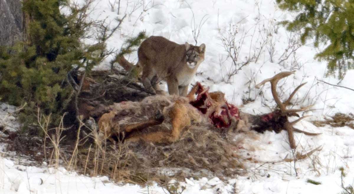

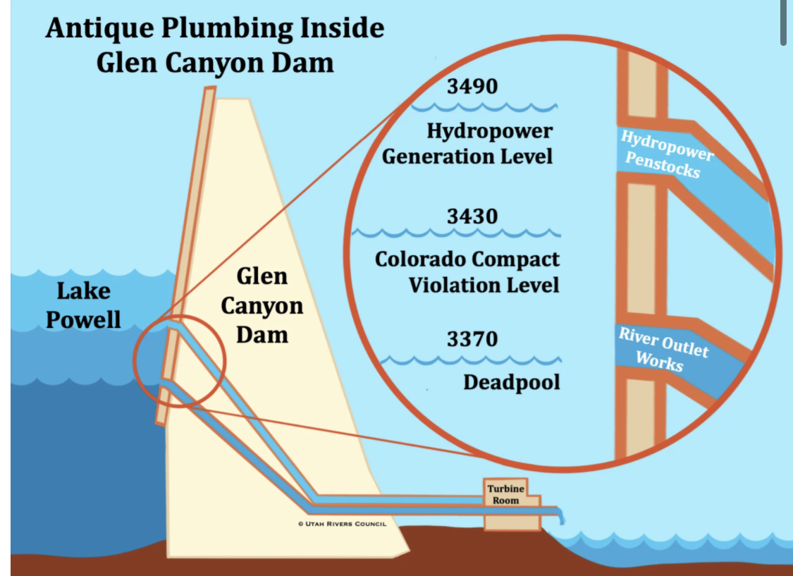



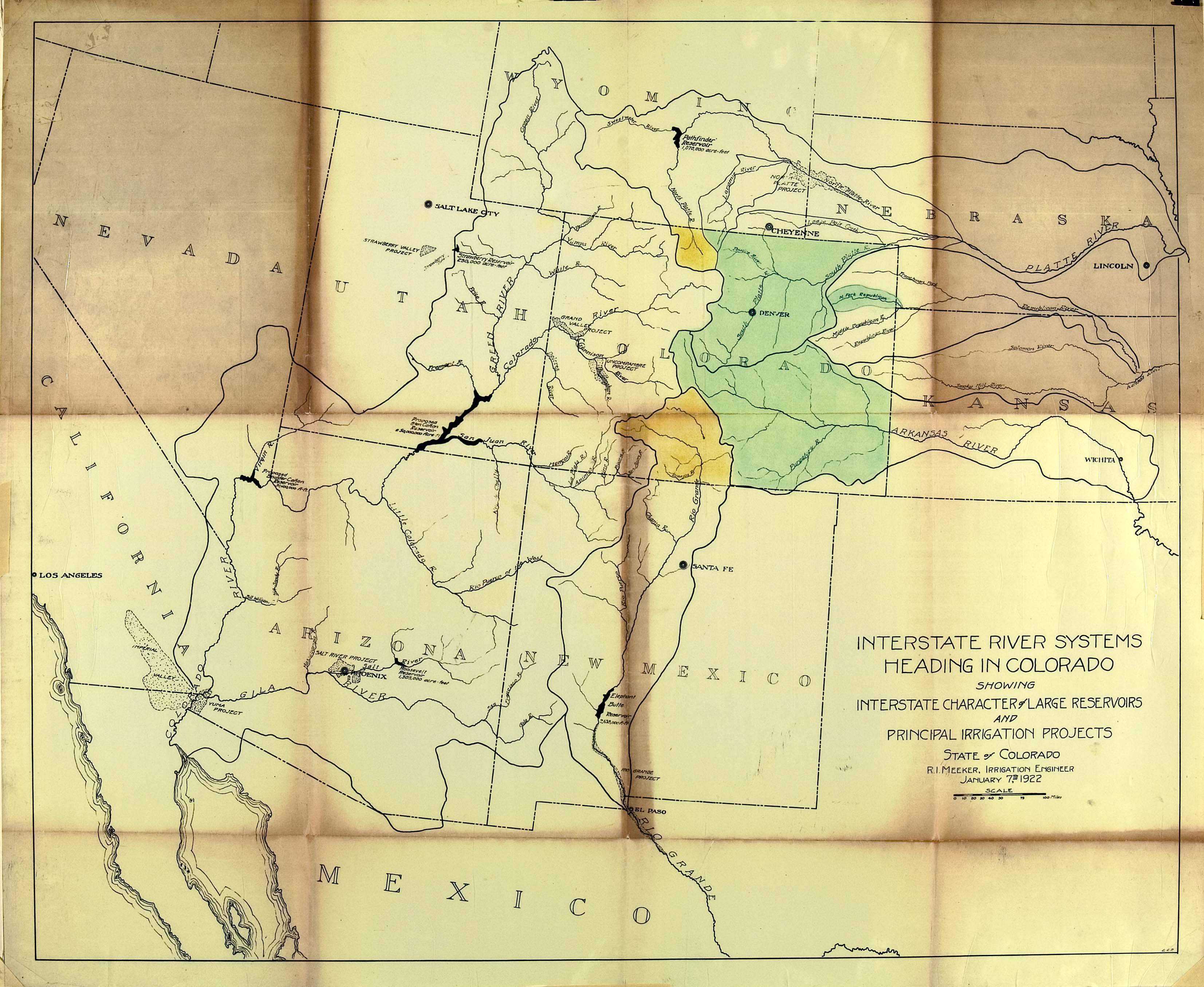
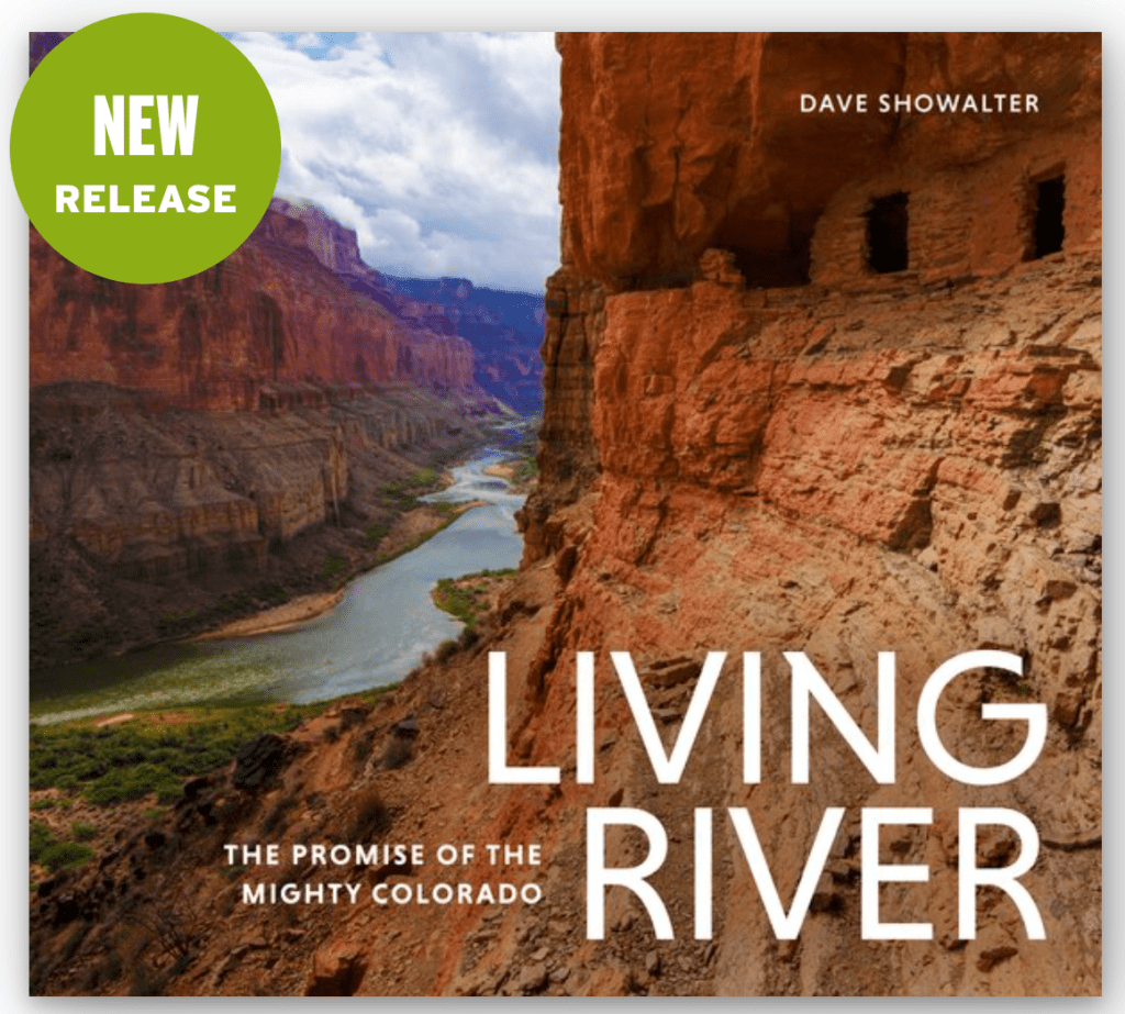
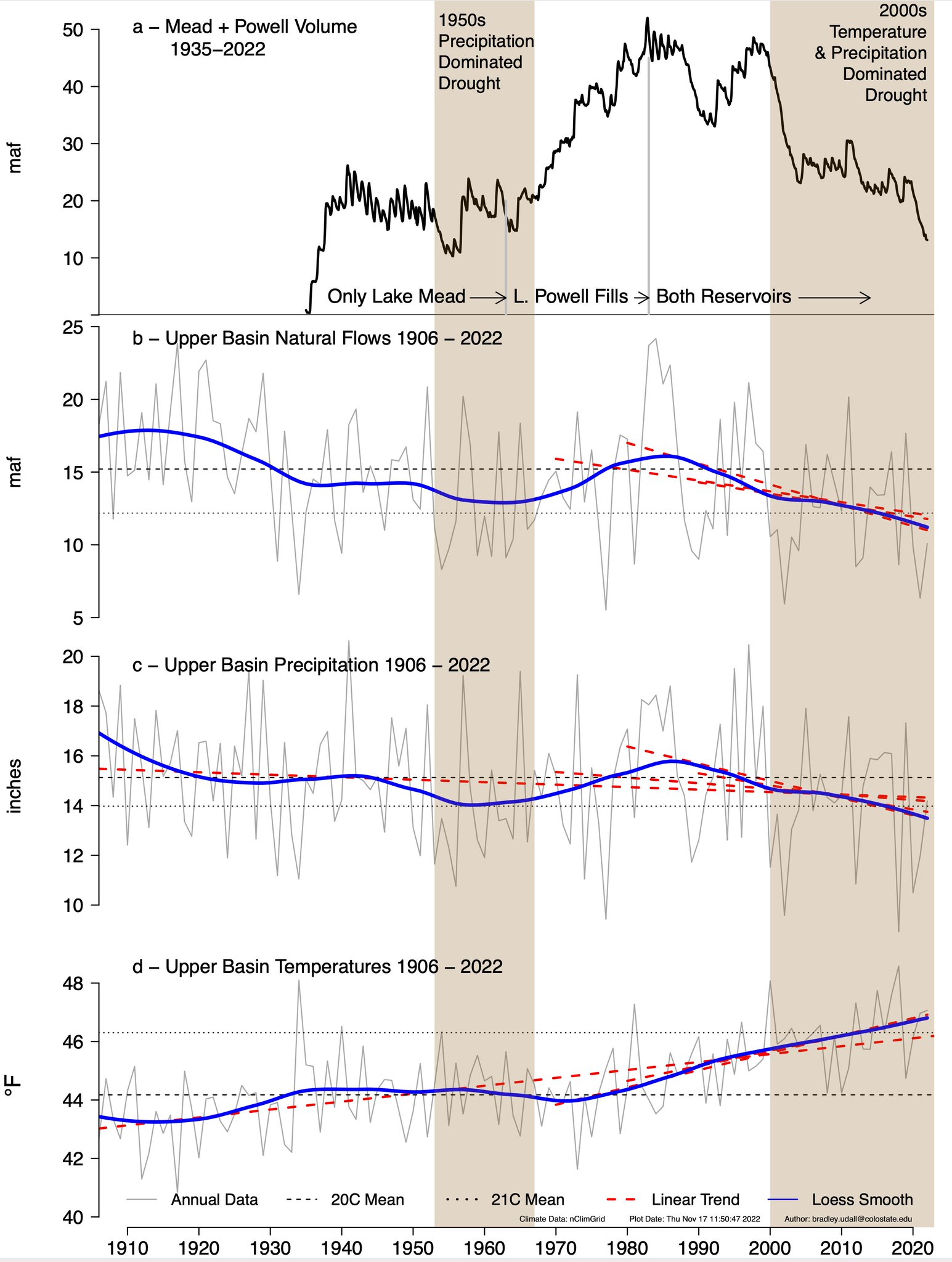
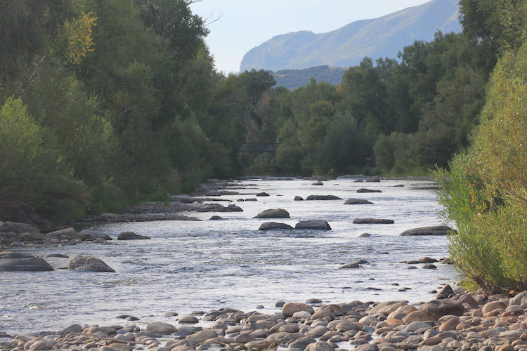

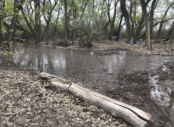
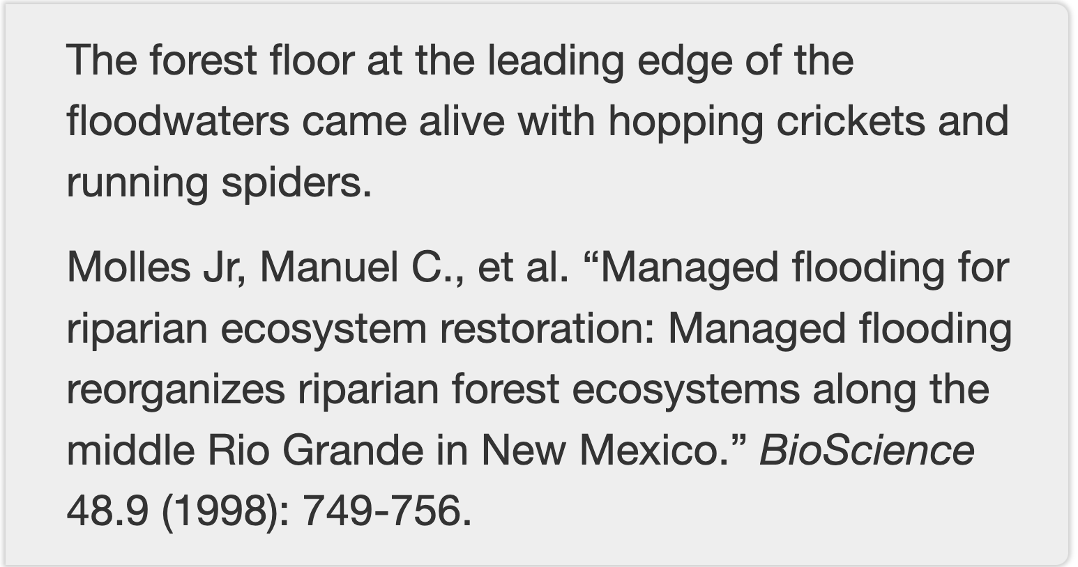
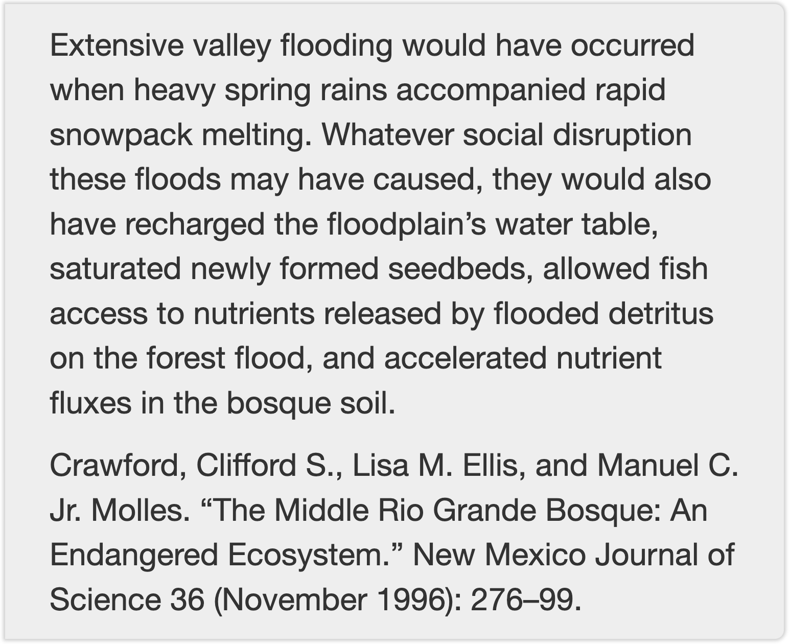
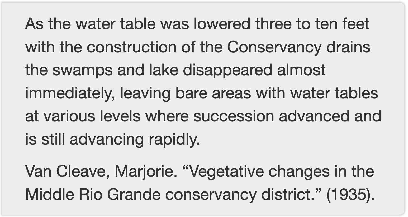
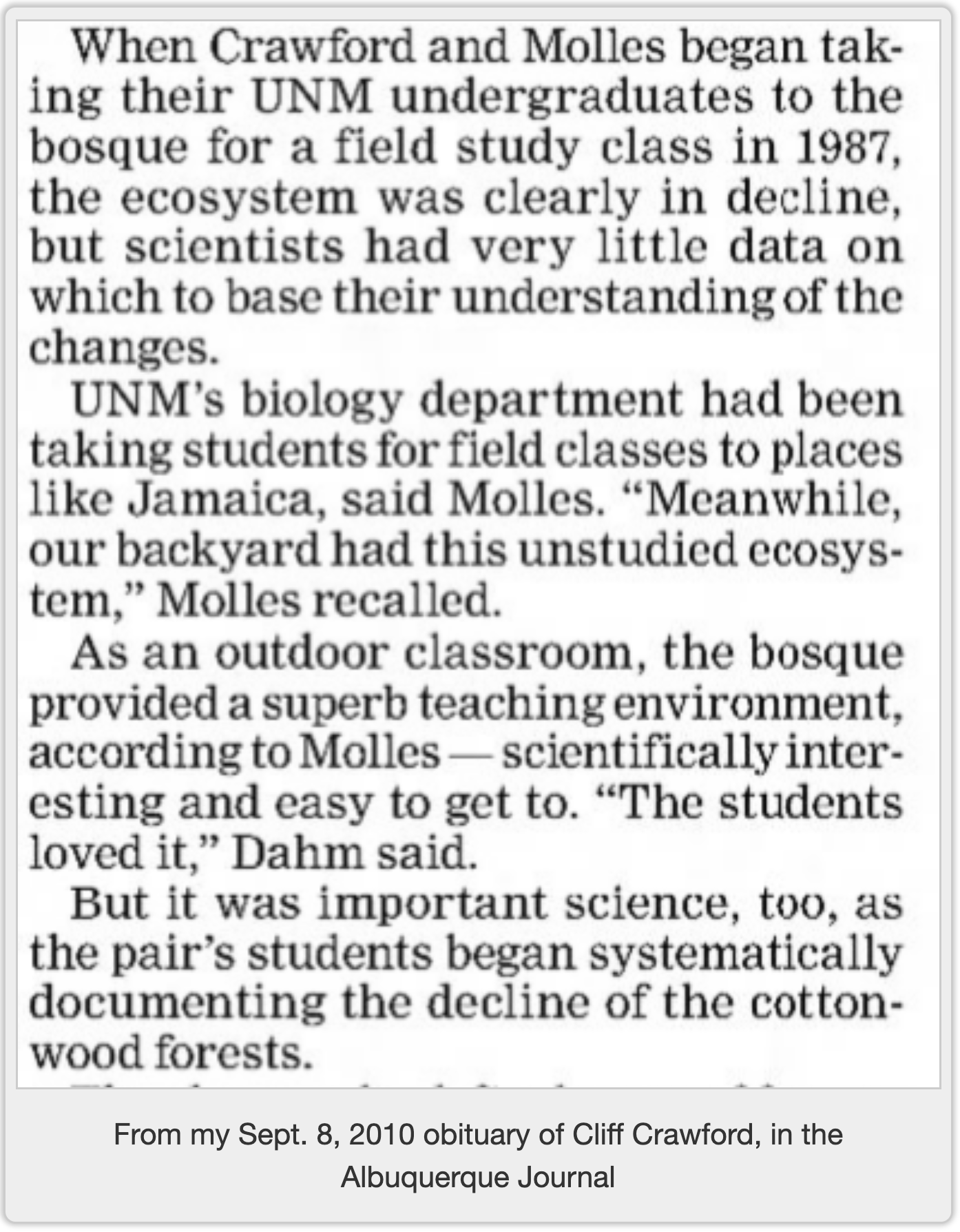

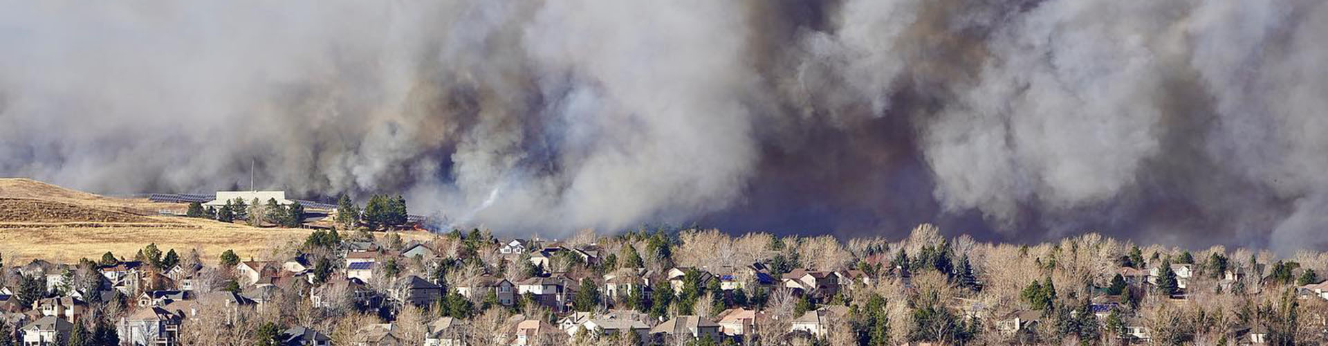
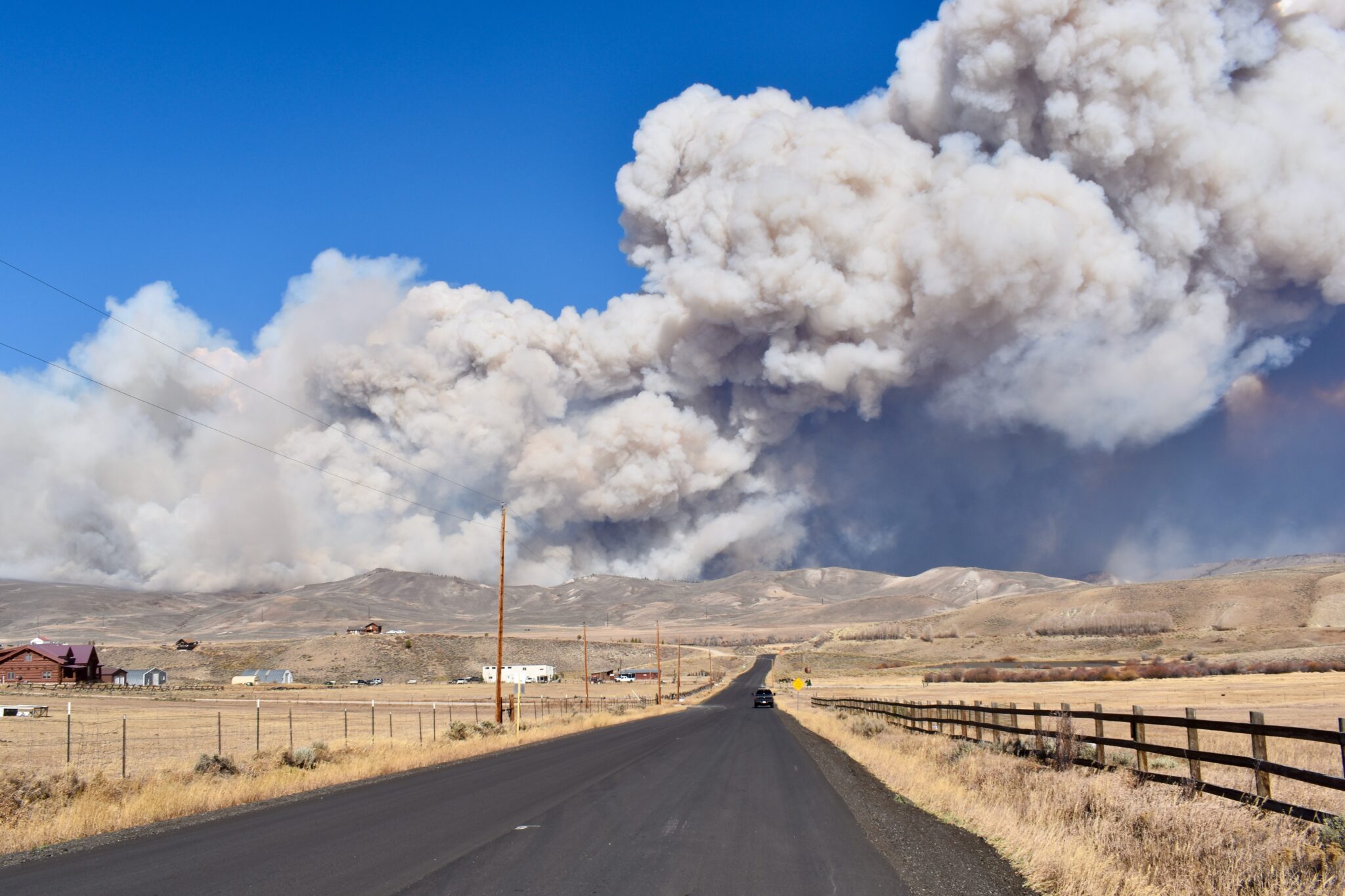


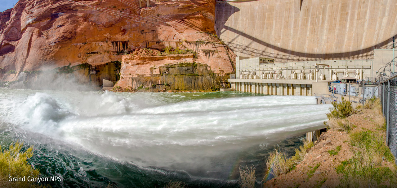
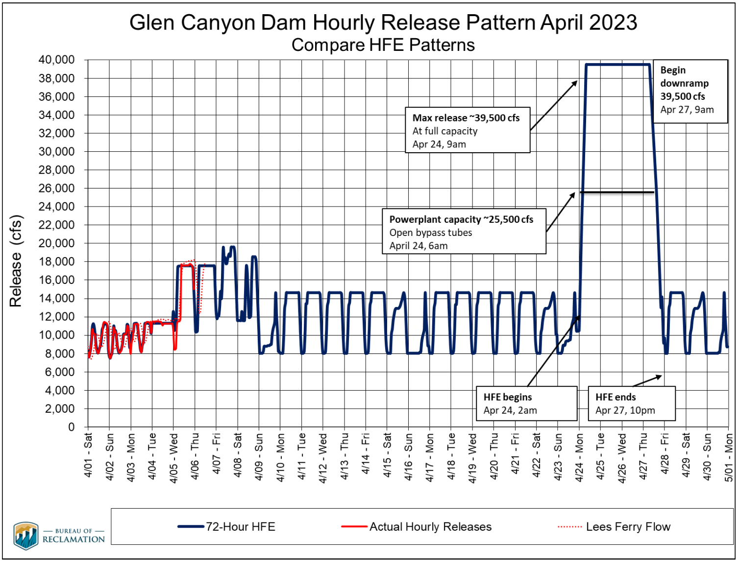


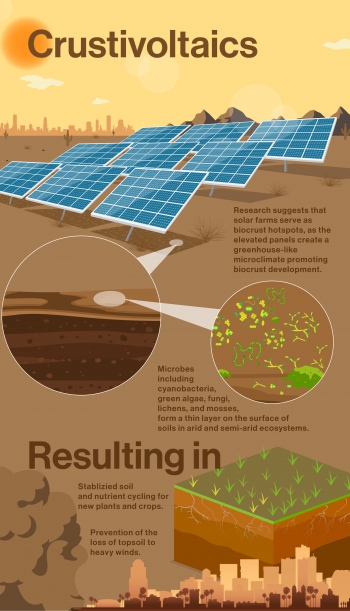
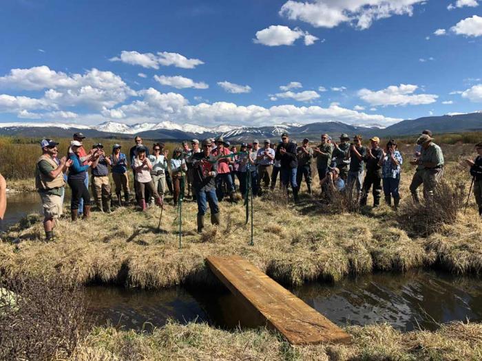


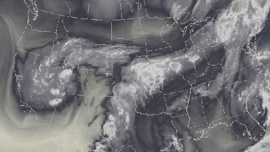

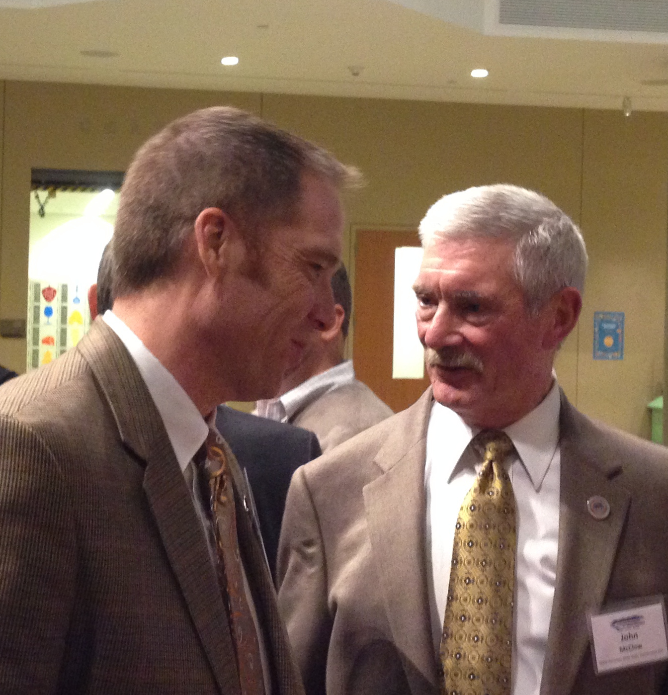


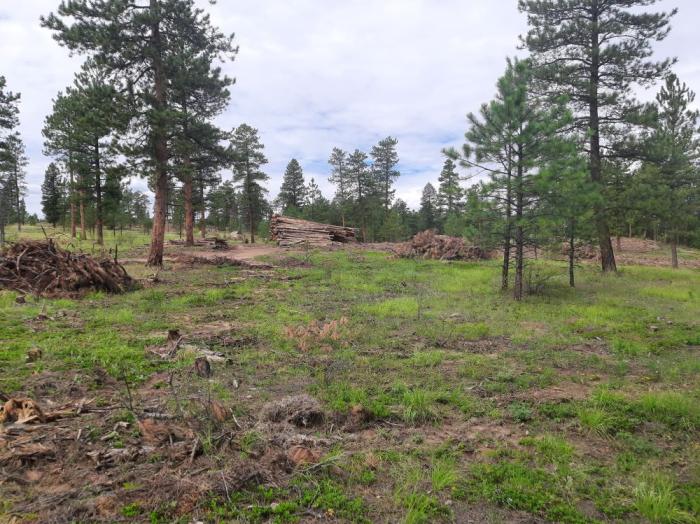
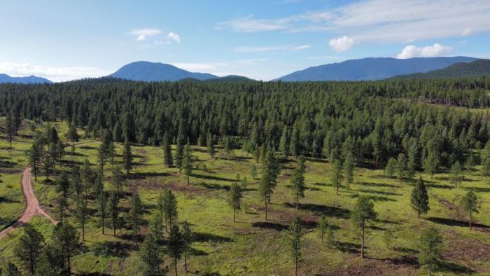
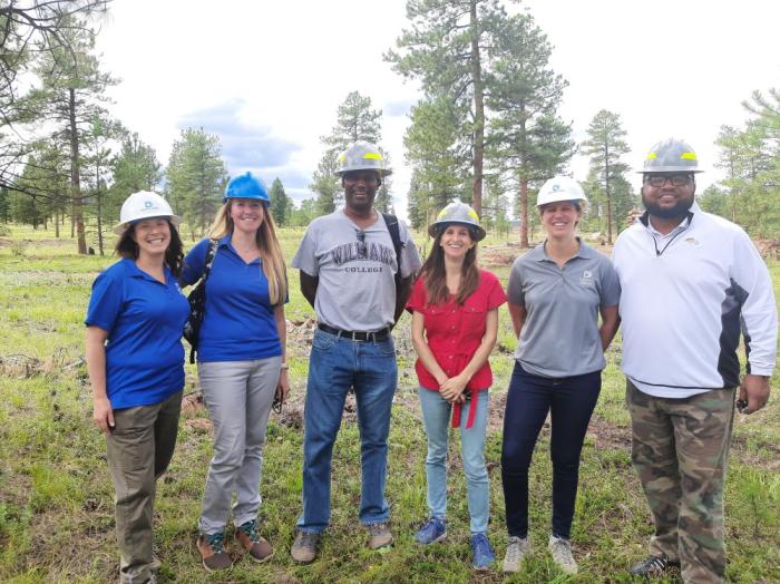
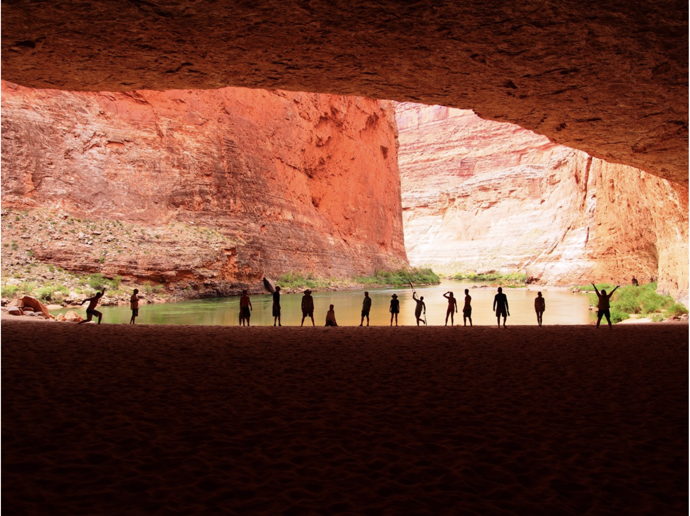
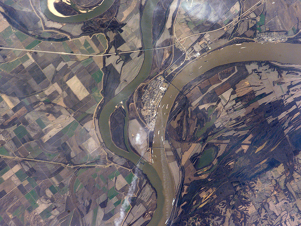
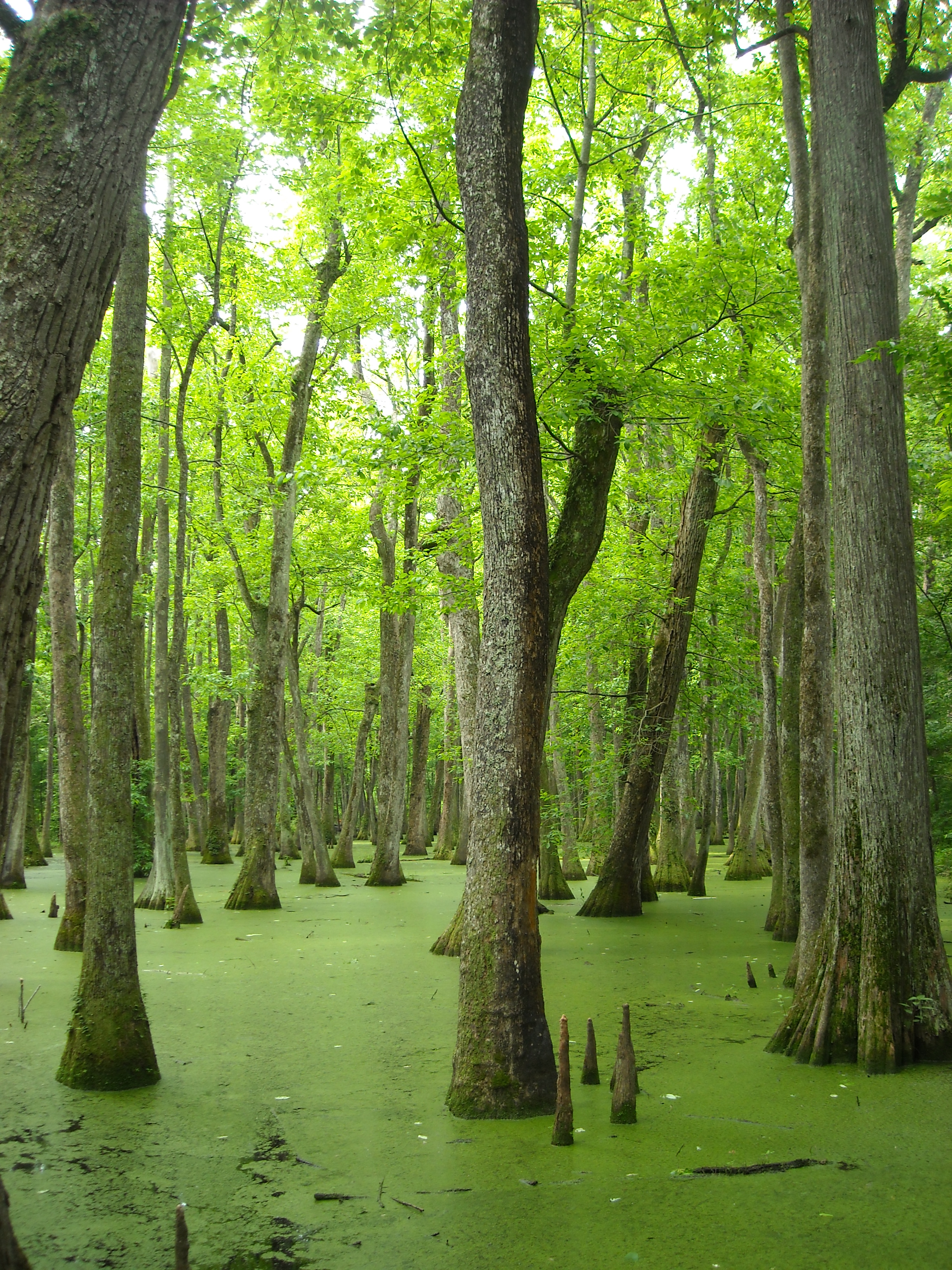

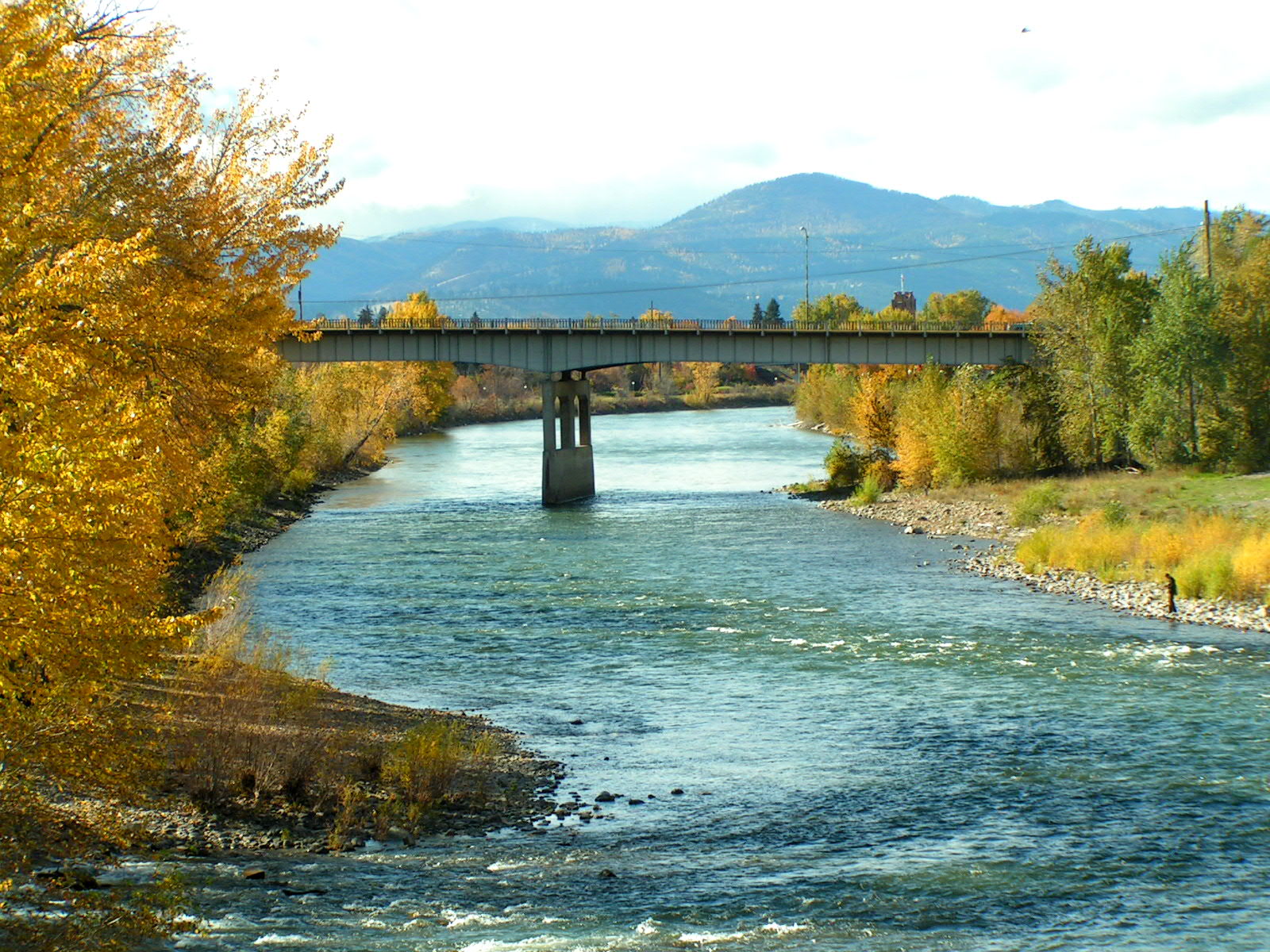
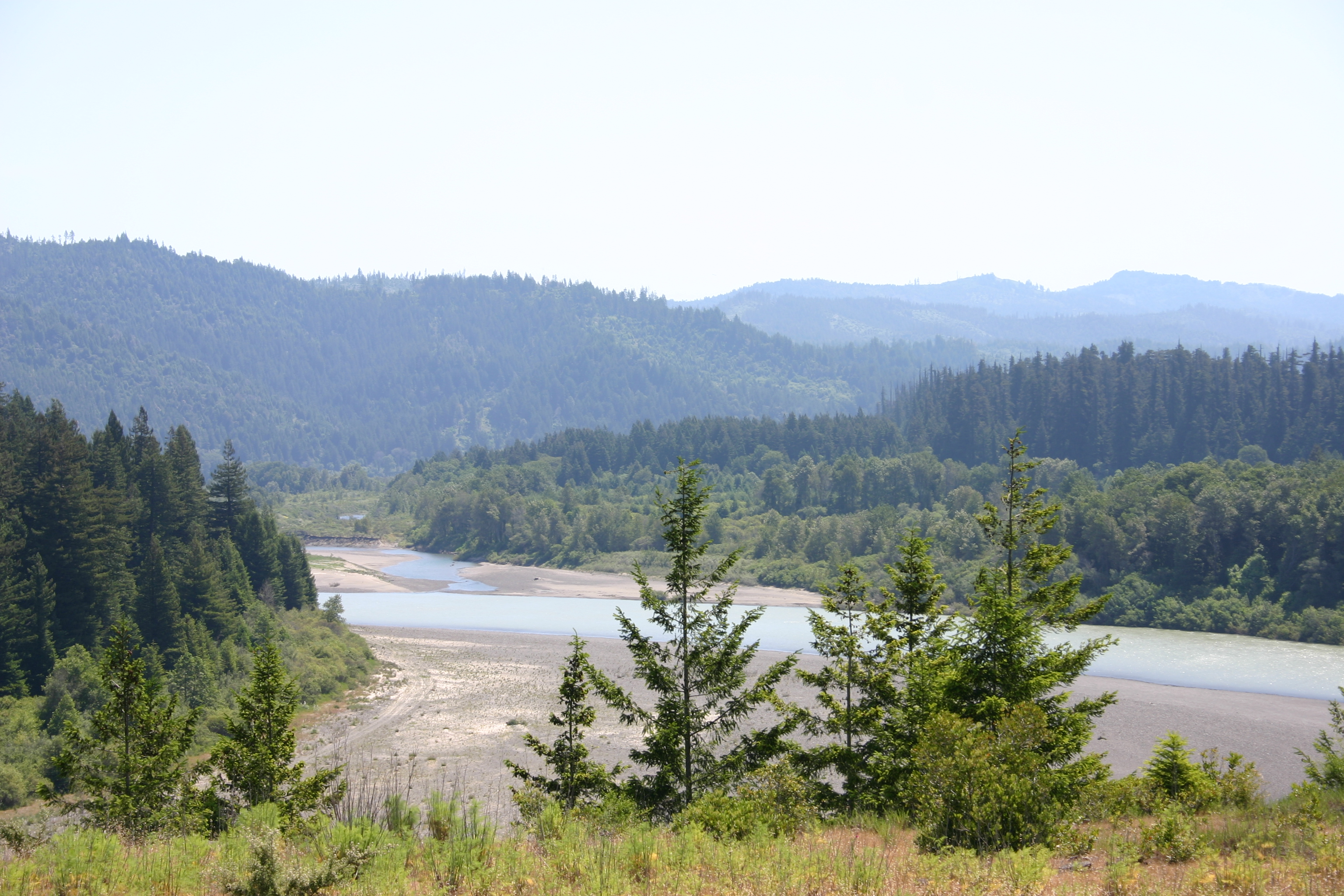
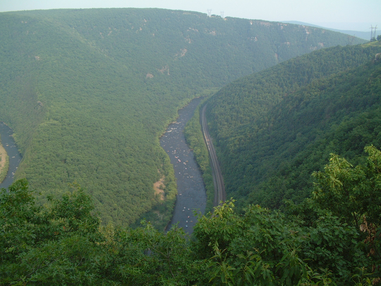
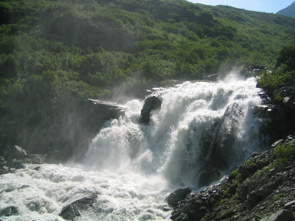
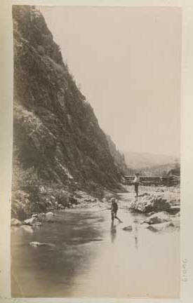
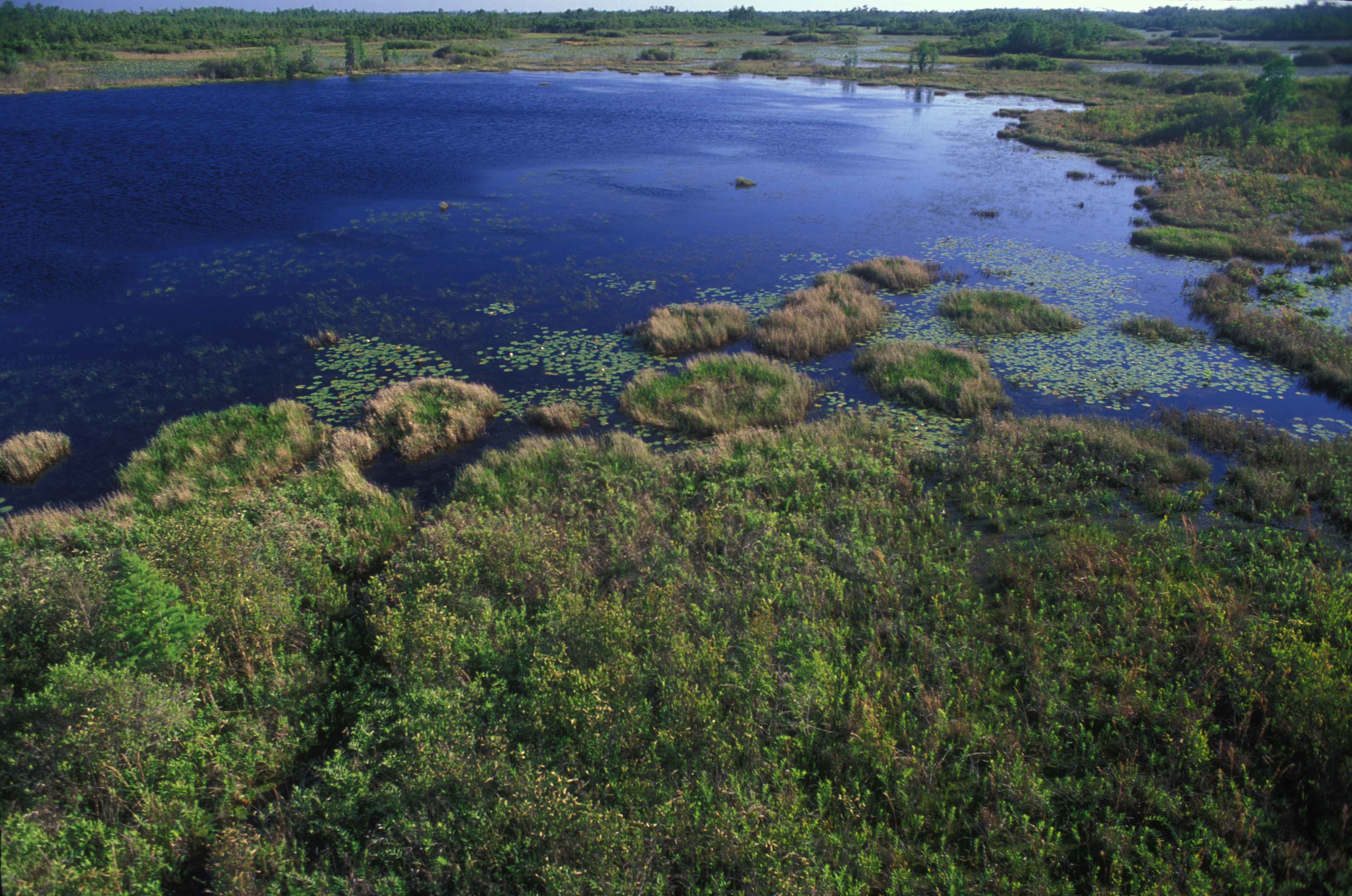




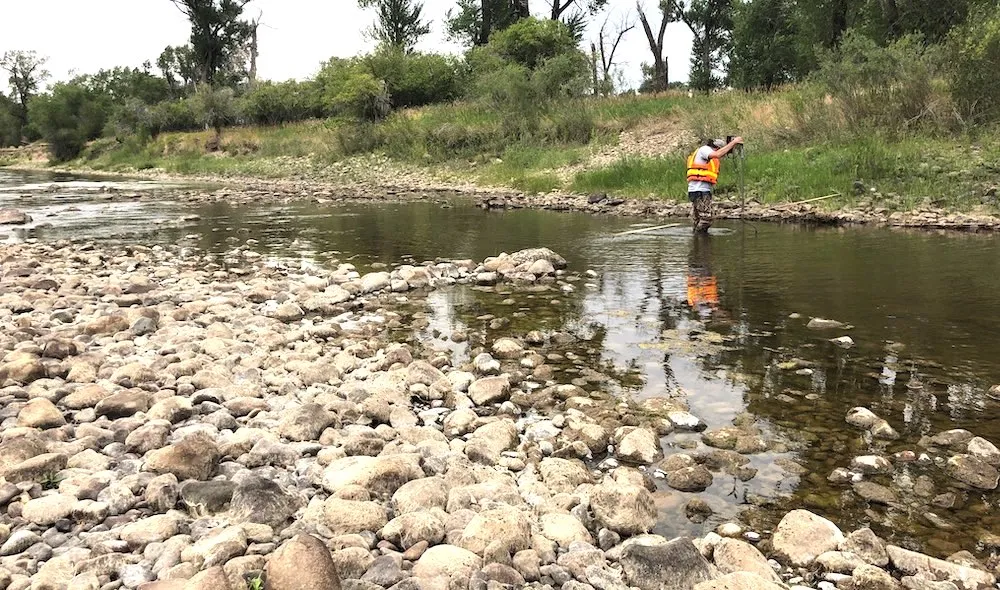

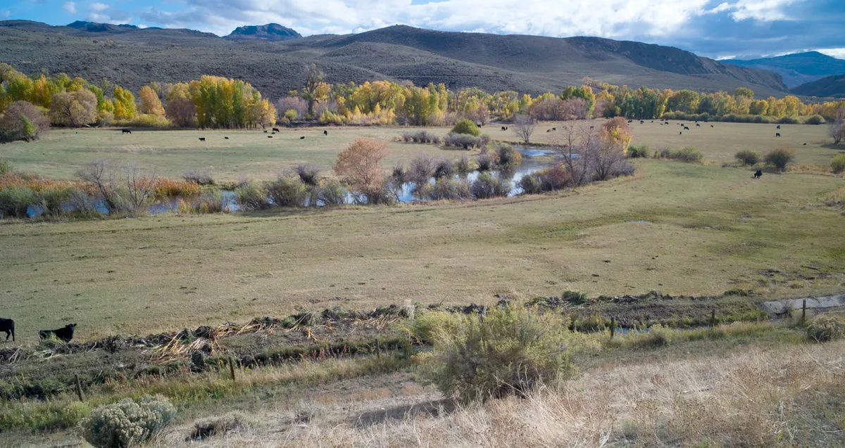
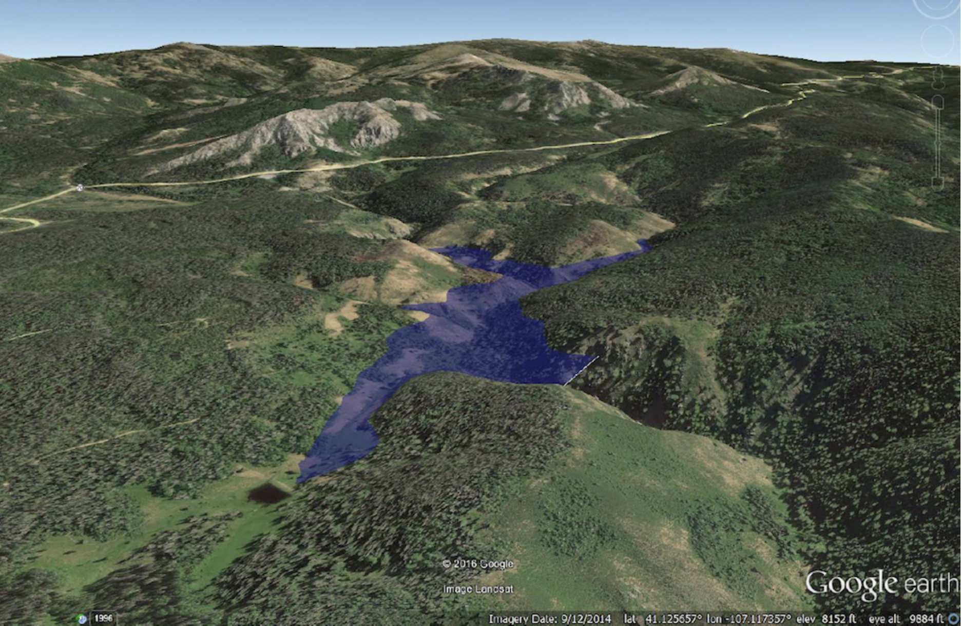


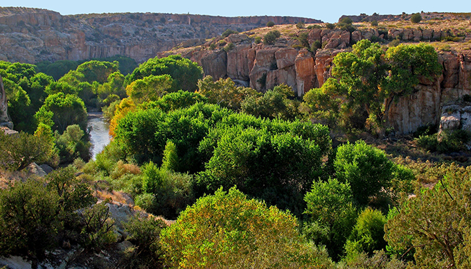
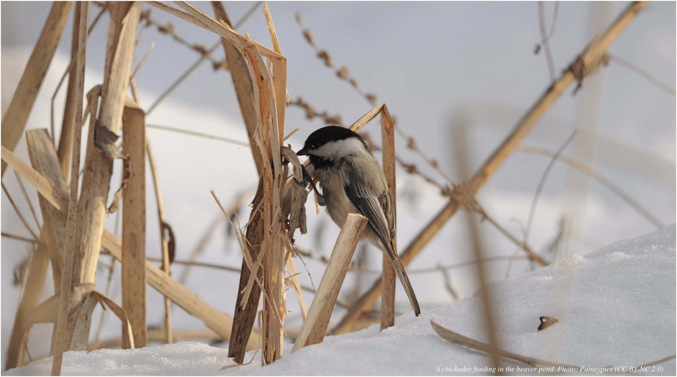

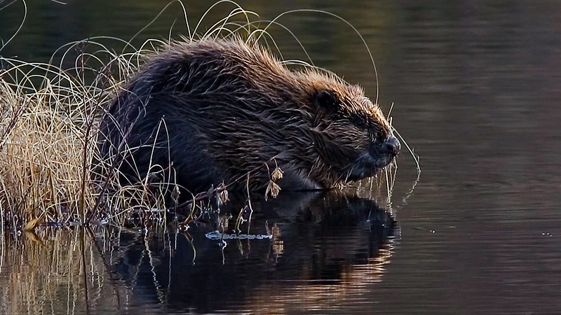
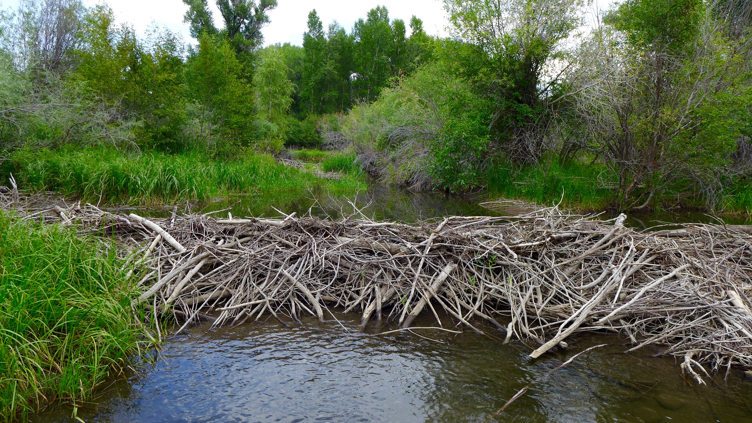






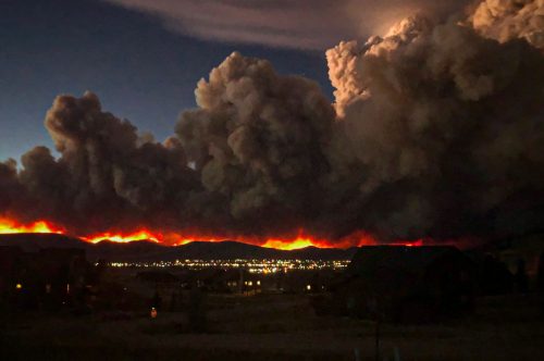
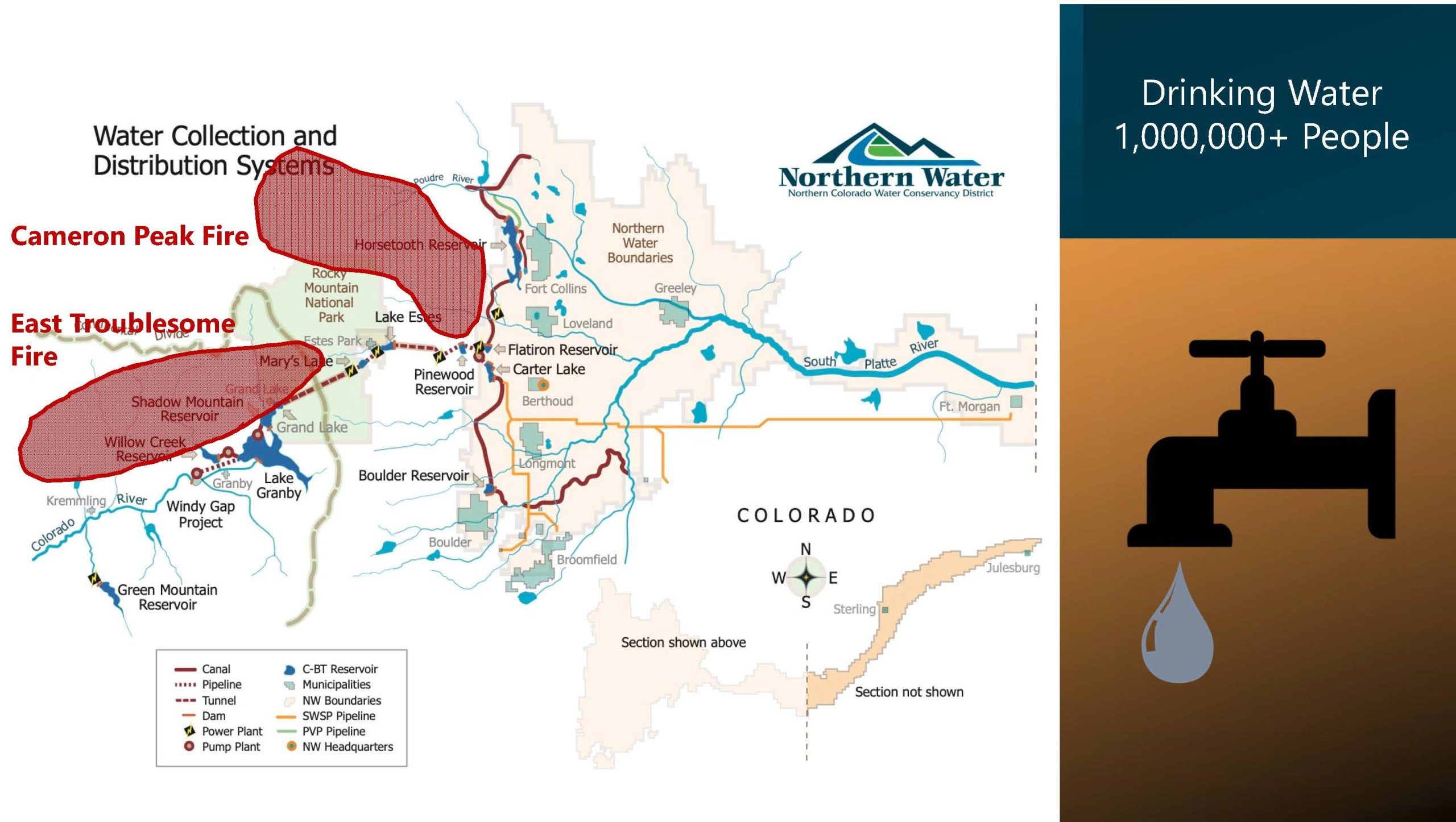
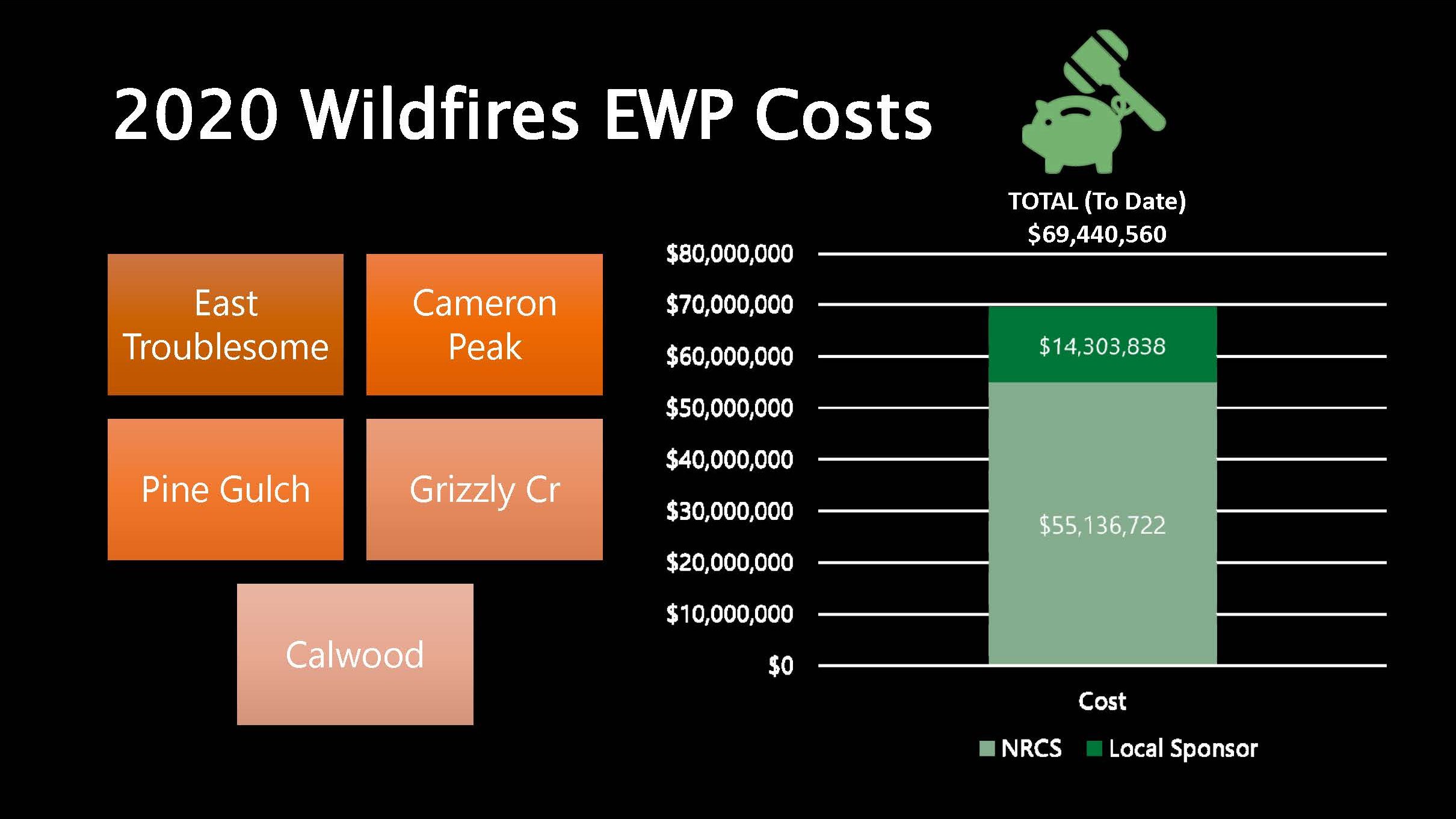
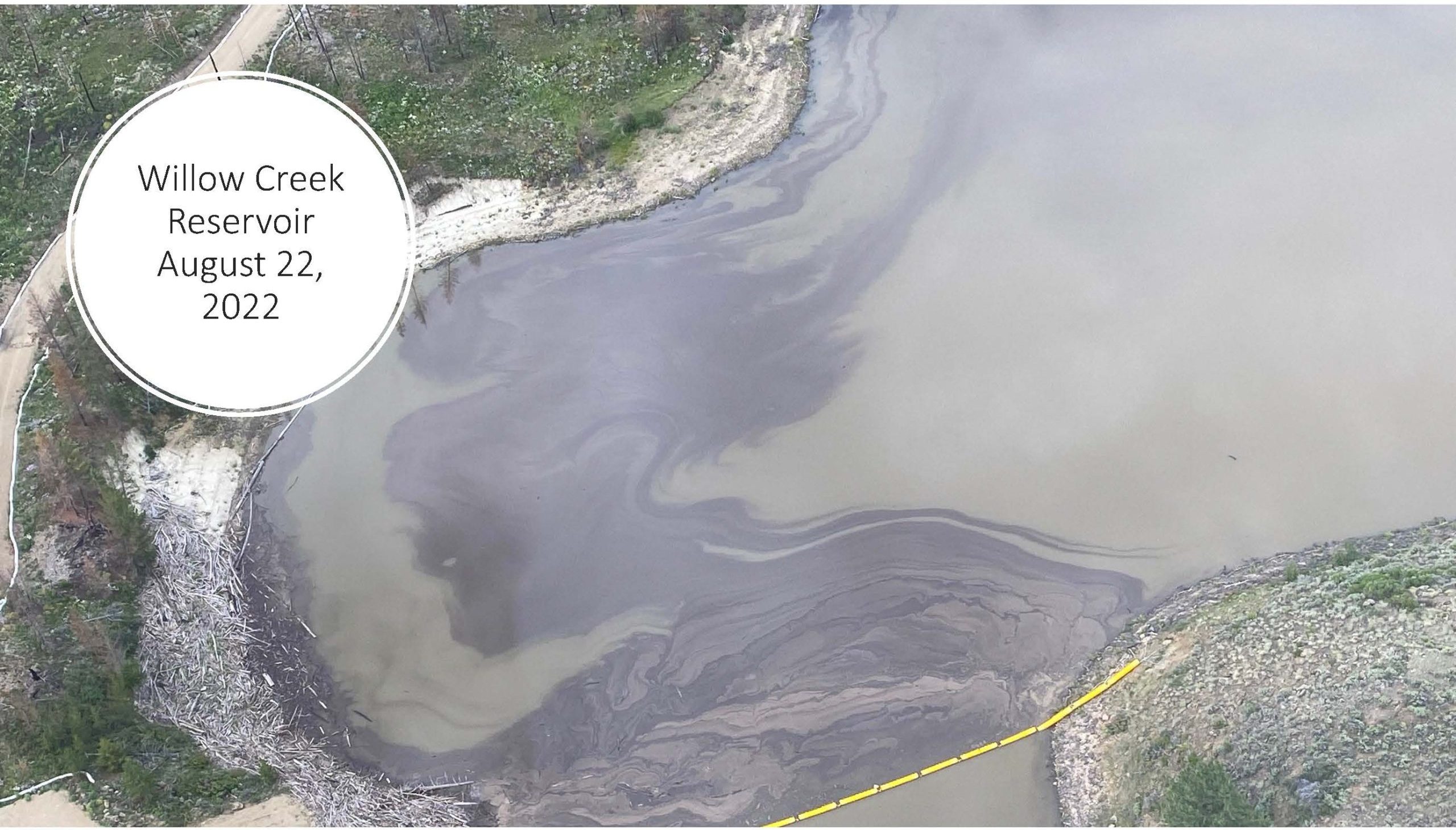


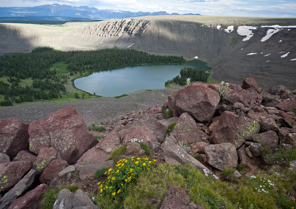

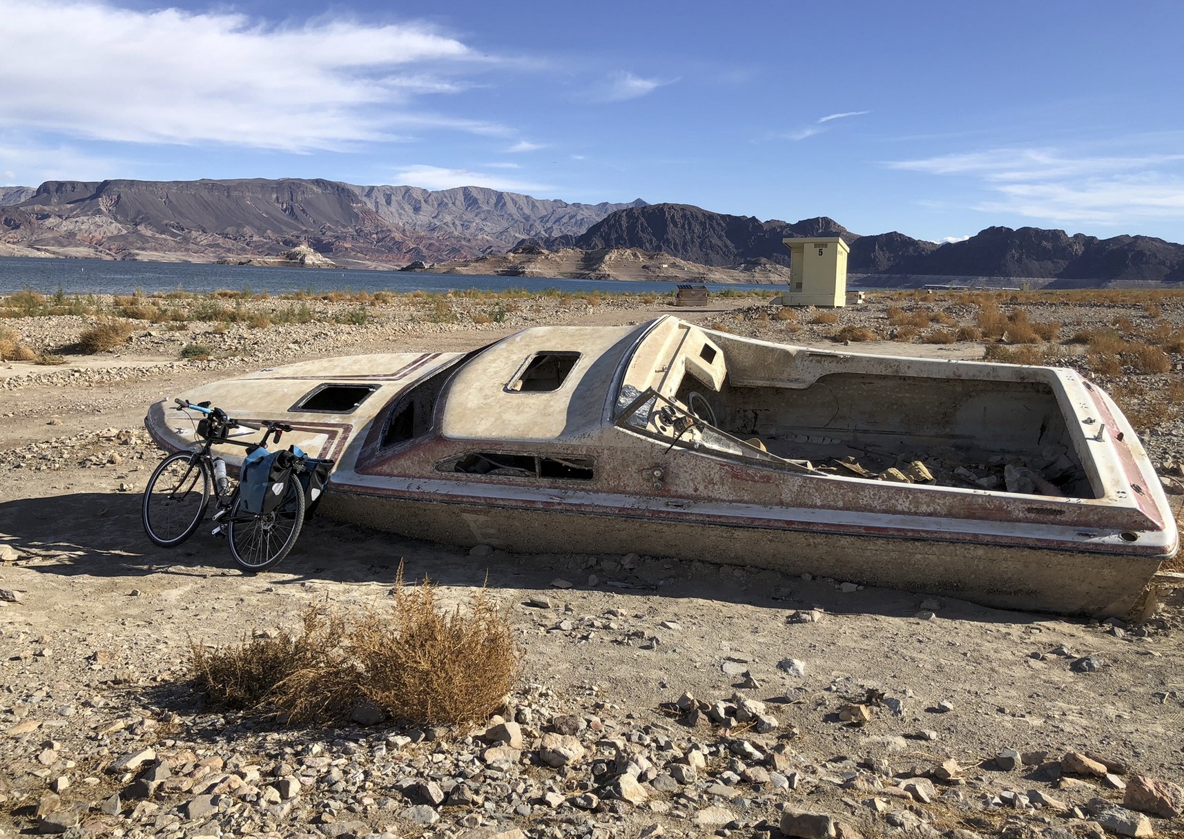
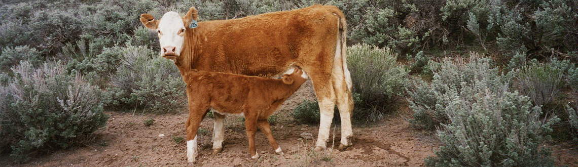


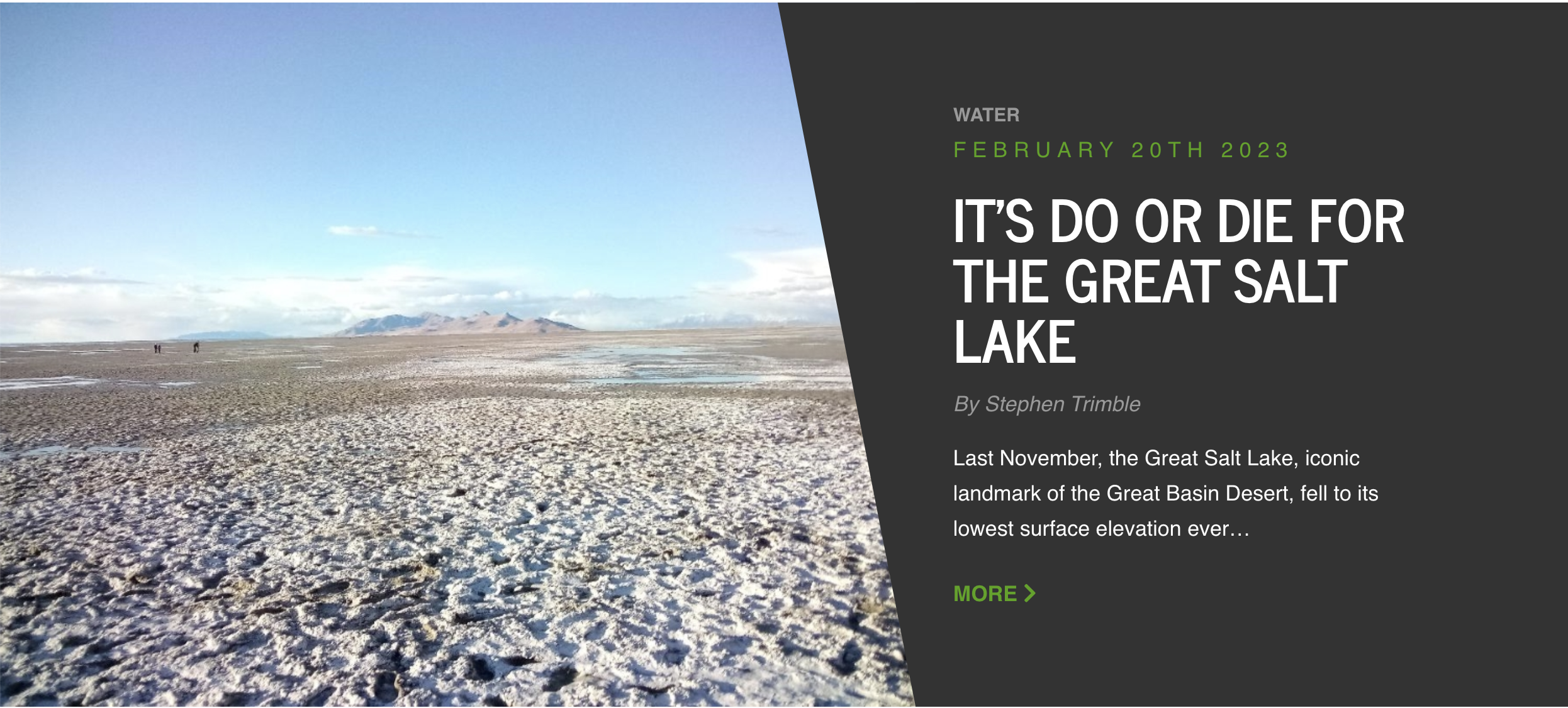
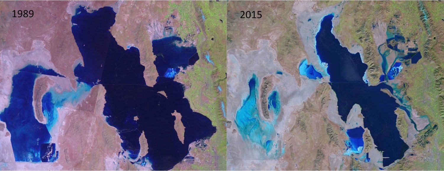
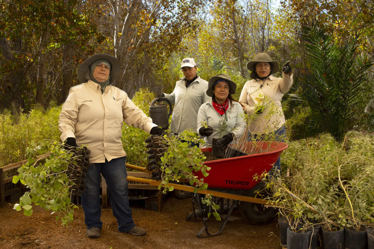
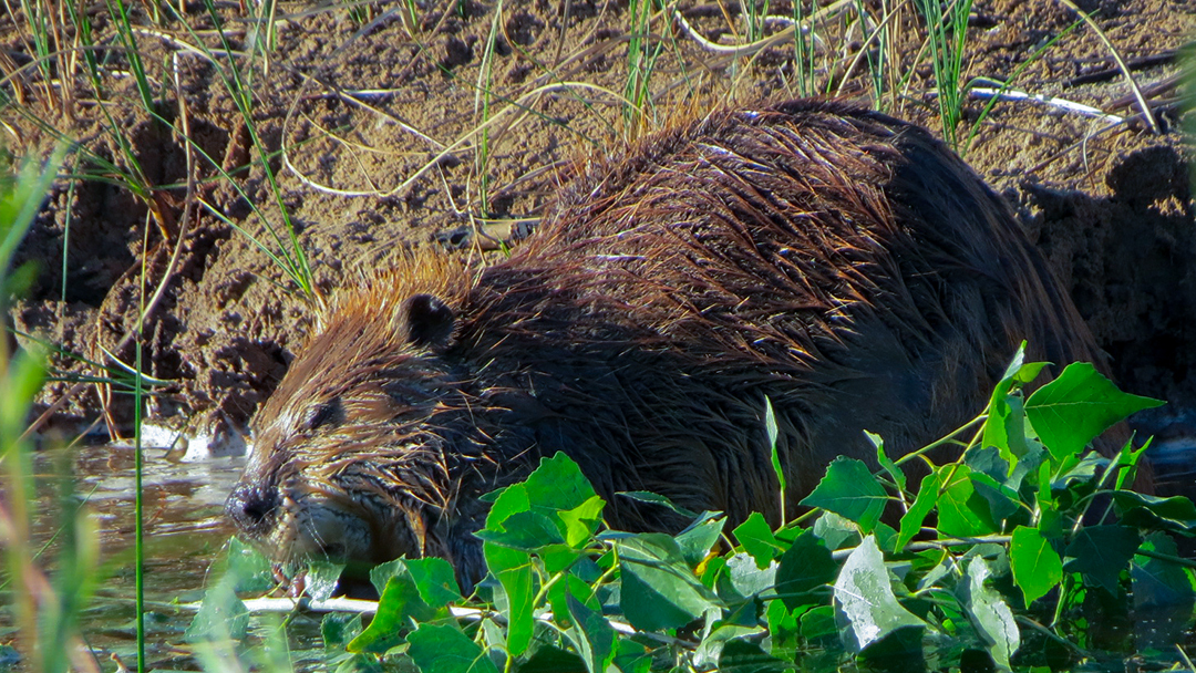

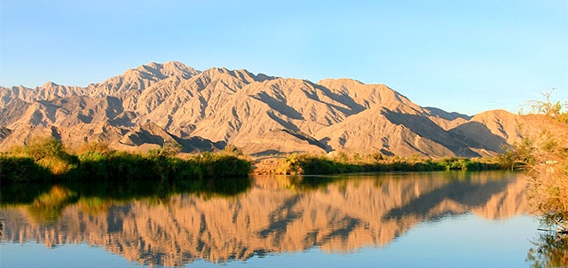
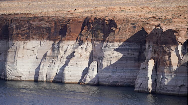
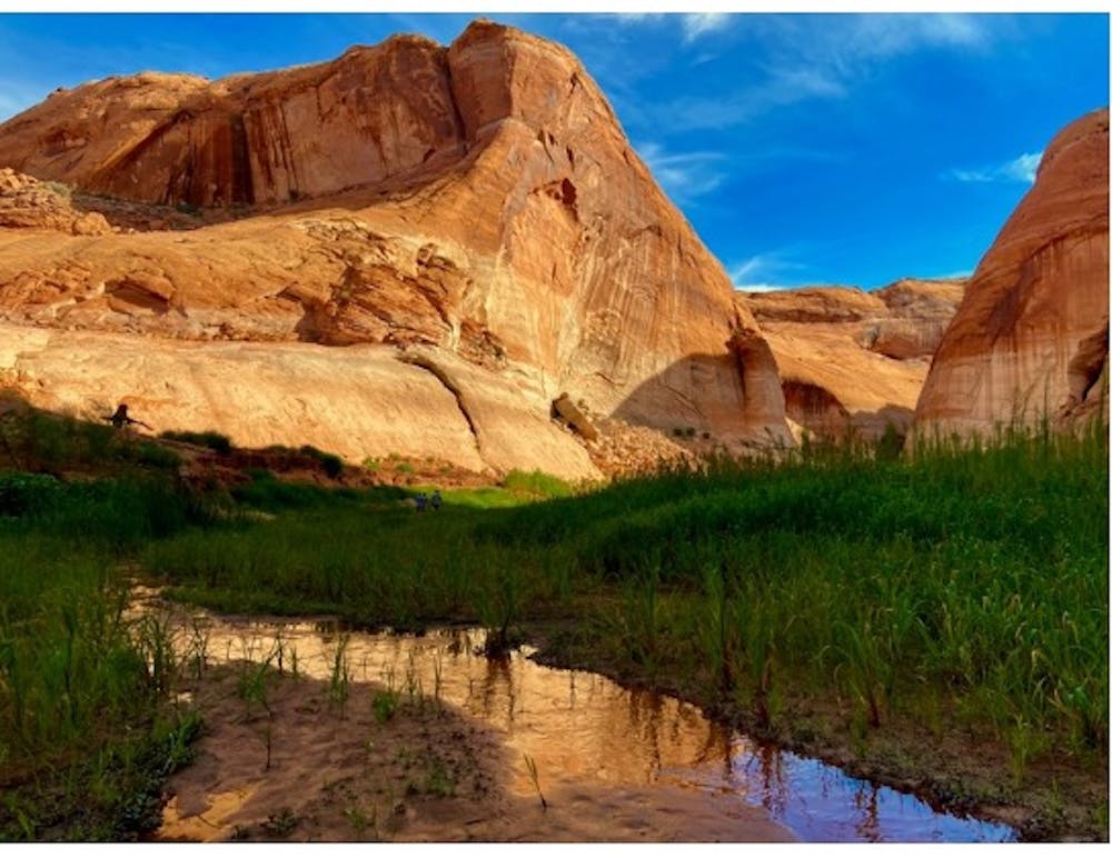


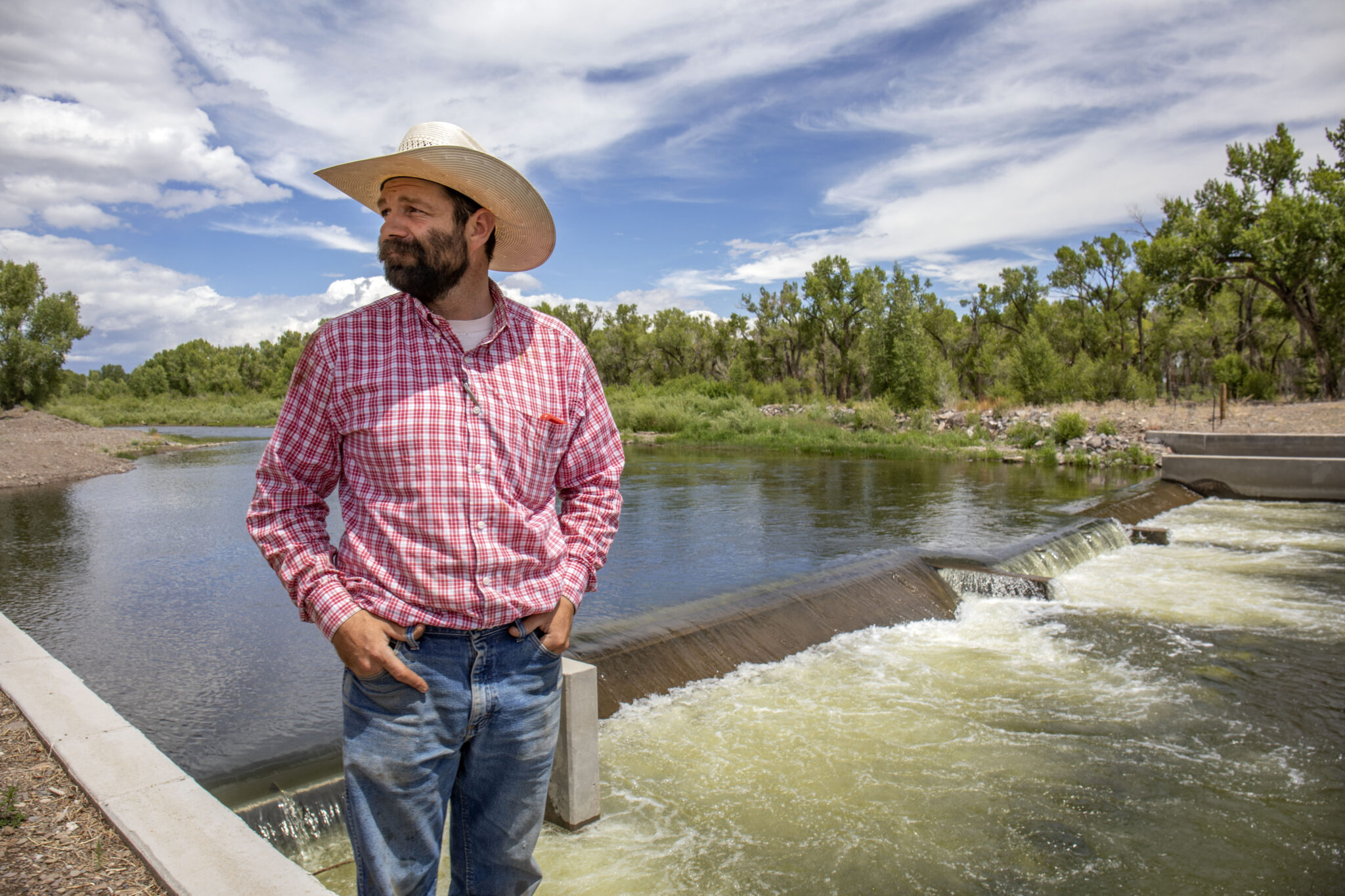


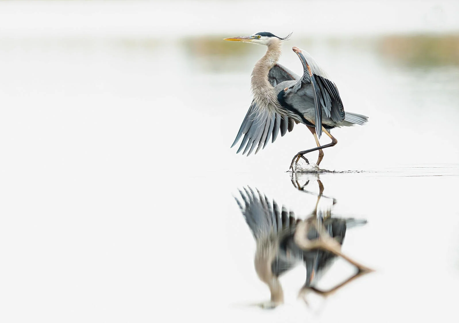


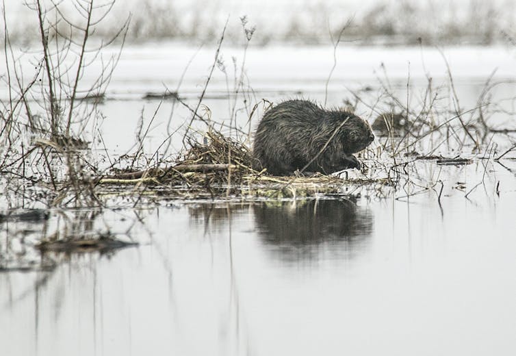
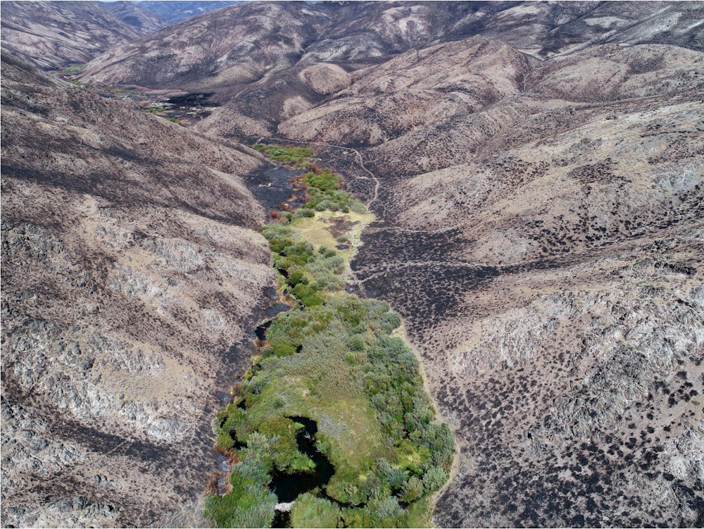
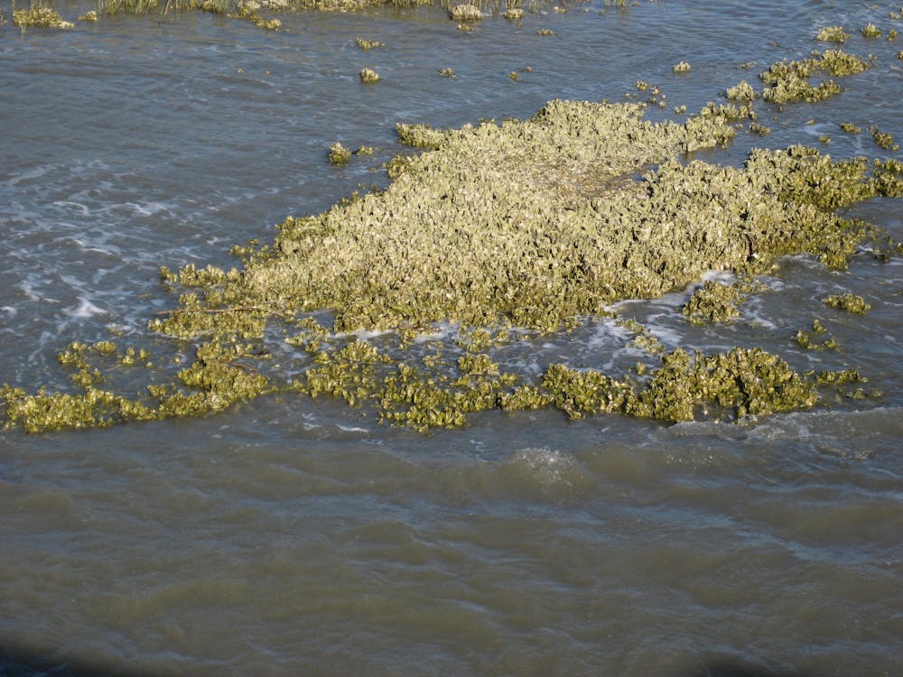

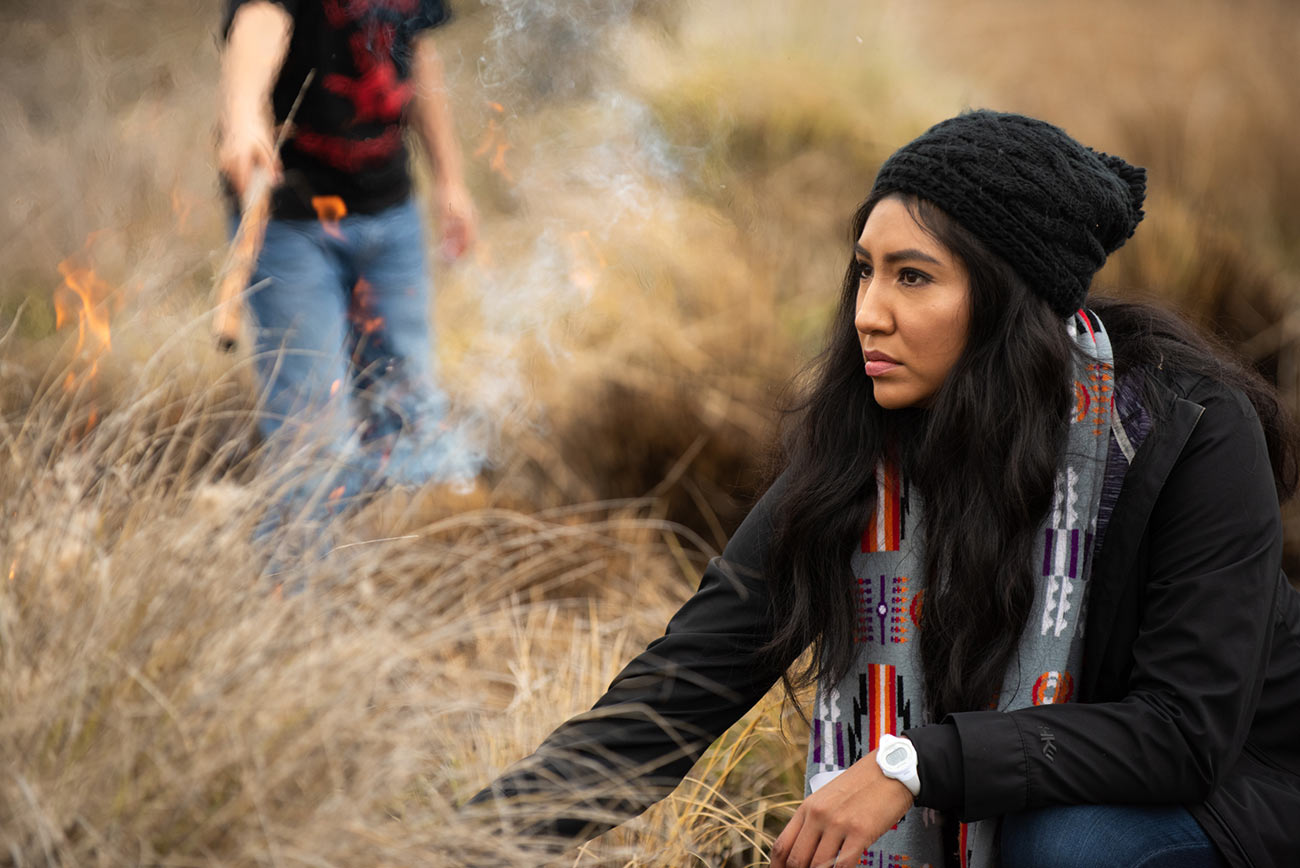

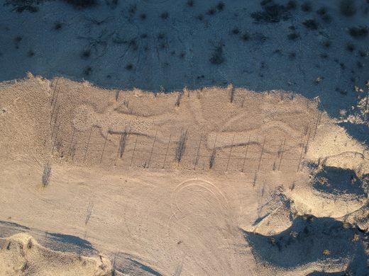


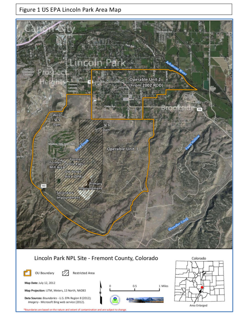

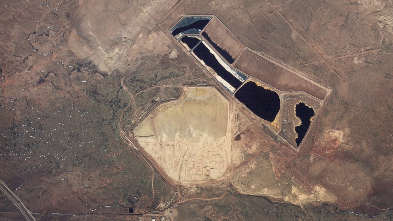


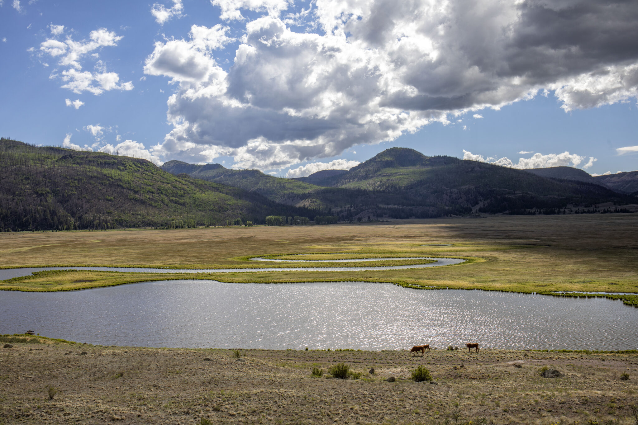

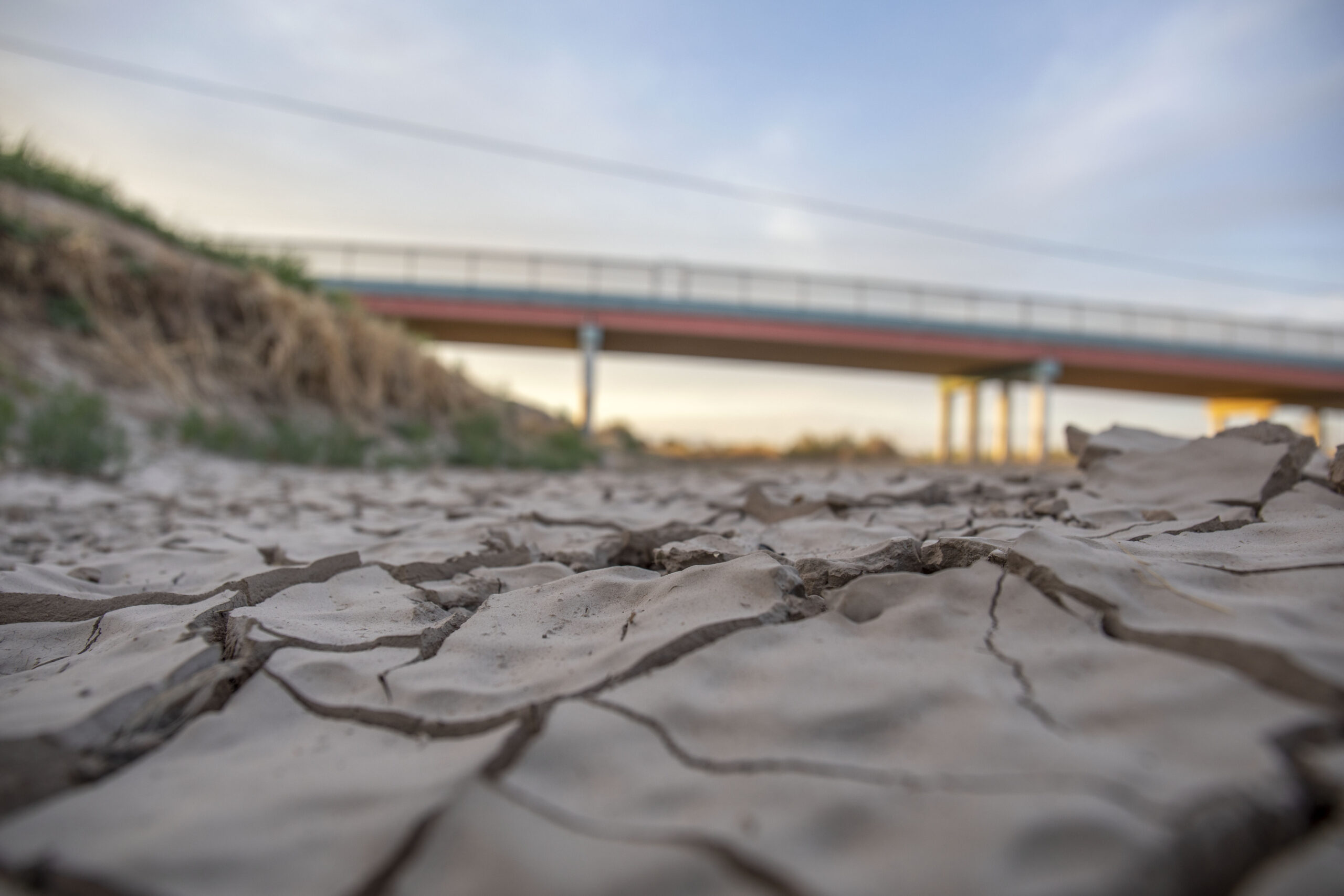

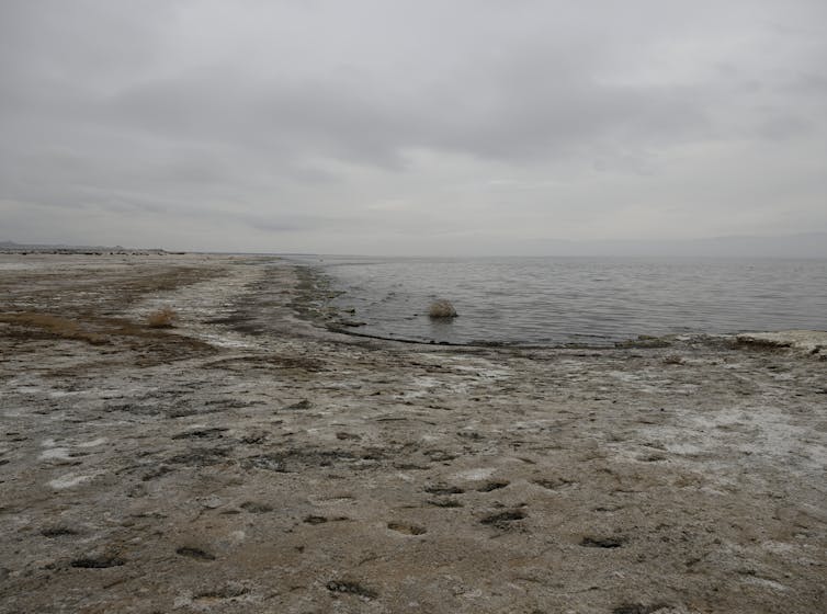
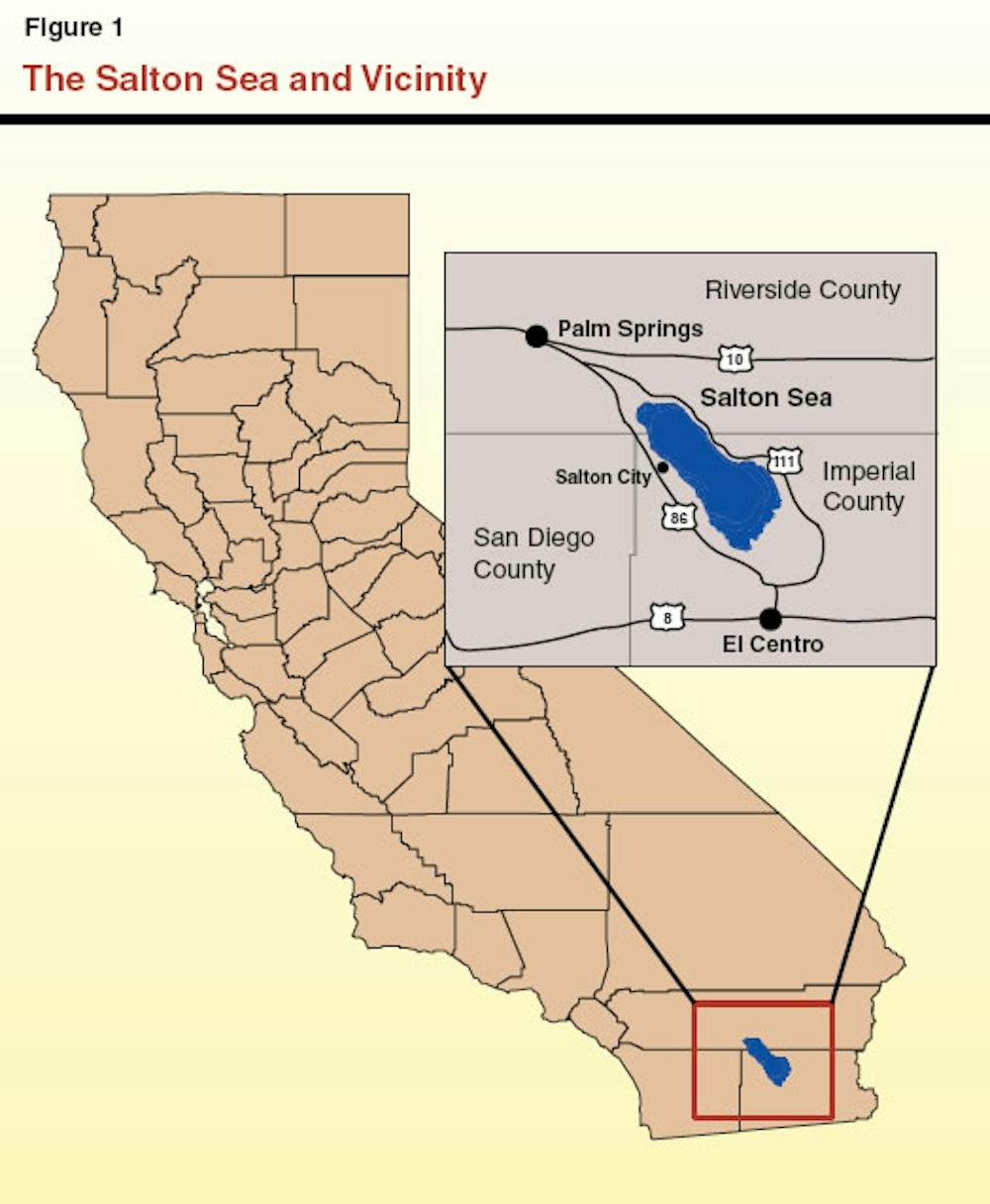
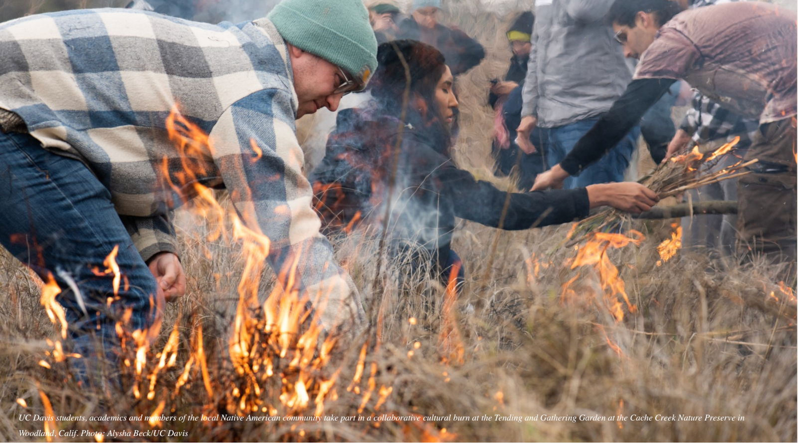
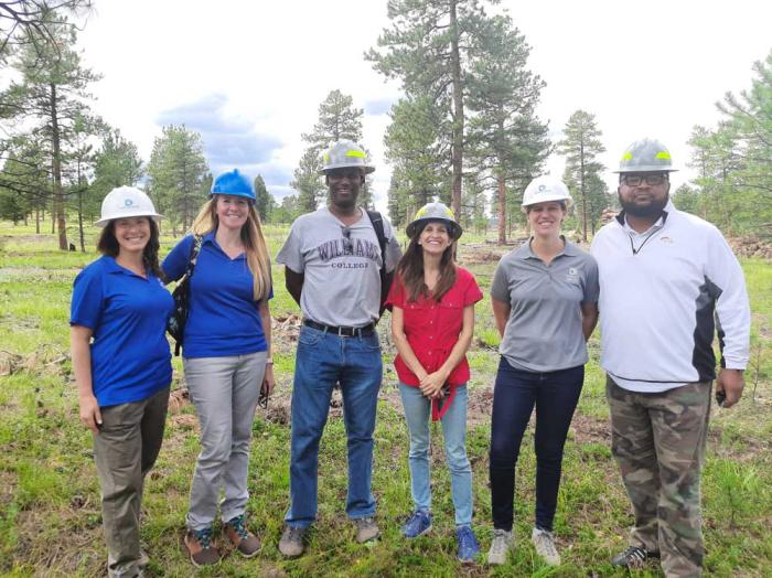
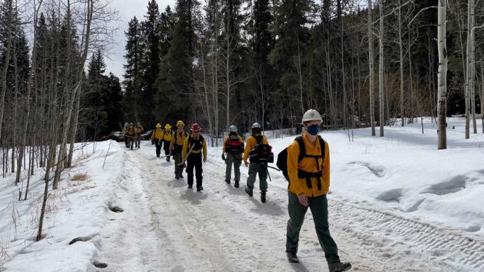
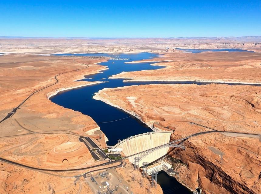

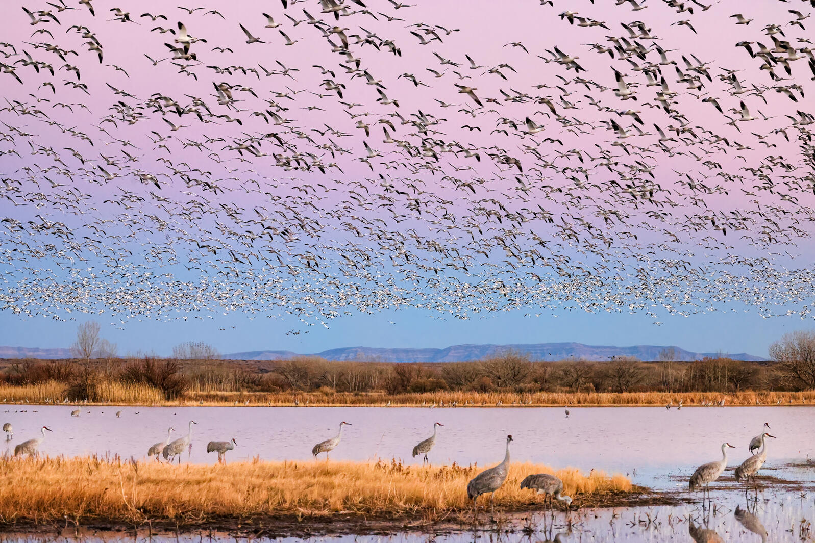

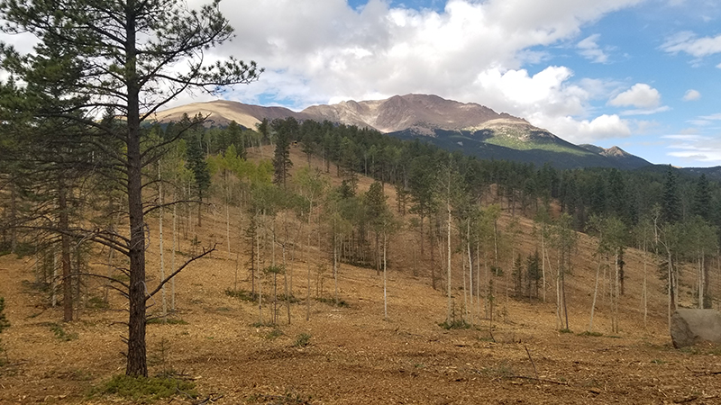

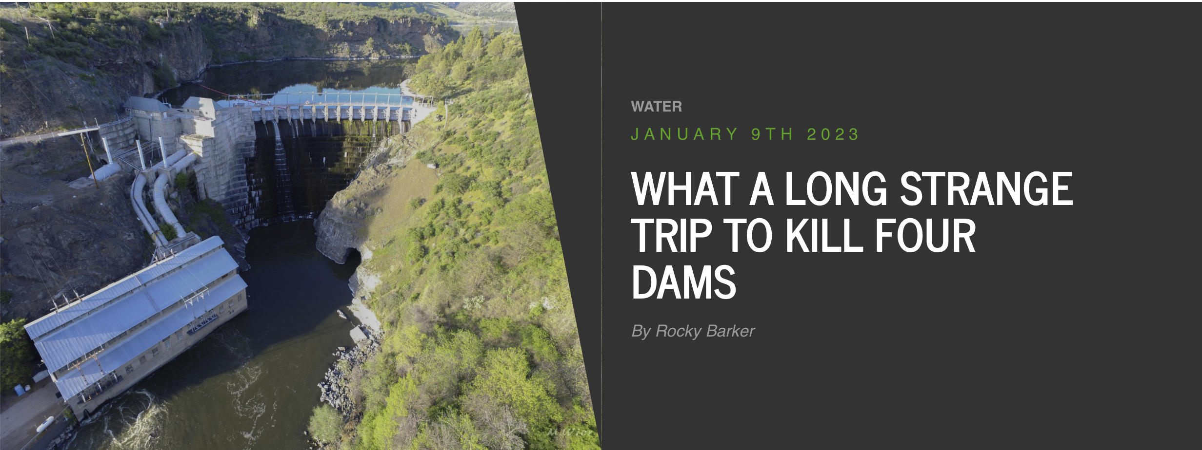


,_Narew_River,_Poland.jpg#/media/File:Castor_fiber_04(js),_Narew_River,_Poland.jpg)

