
Coyote Gulch’s excellent EV adventure, #ColoradoRiver District Annual Seminar: Day 4, #Fruita to #Denver #CRD2026

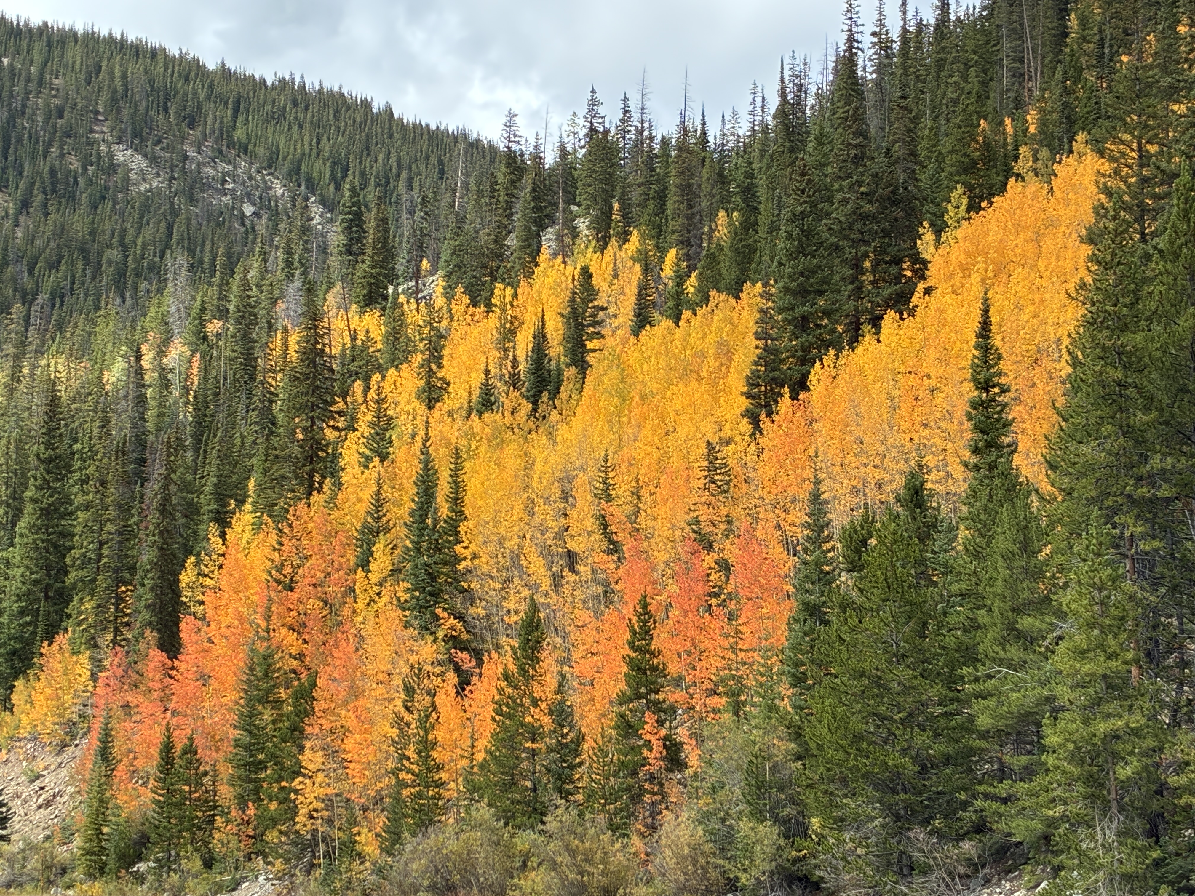
Along US-6 in Summit County September 18, 2026.

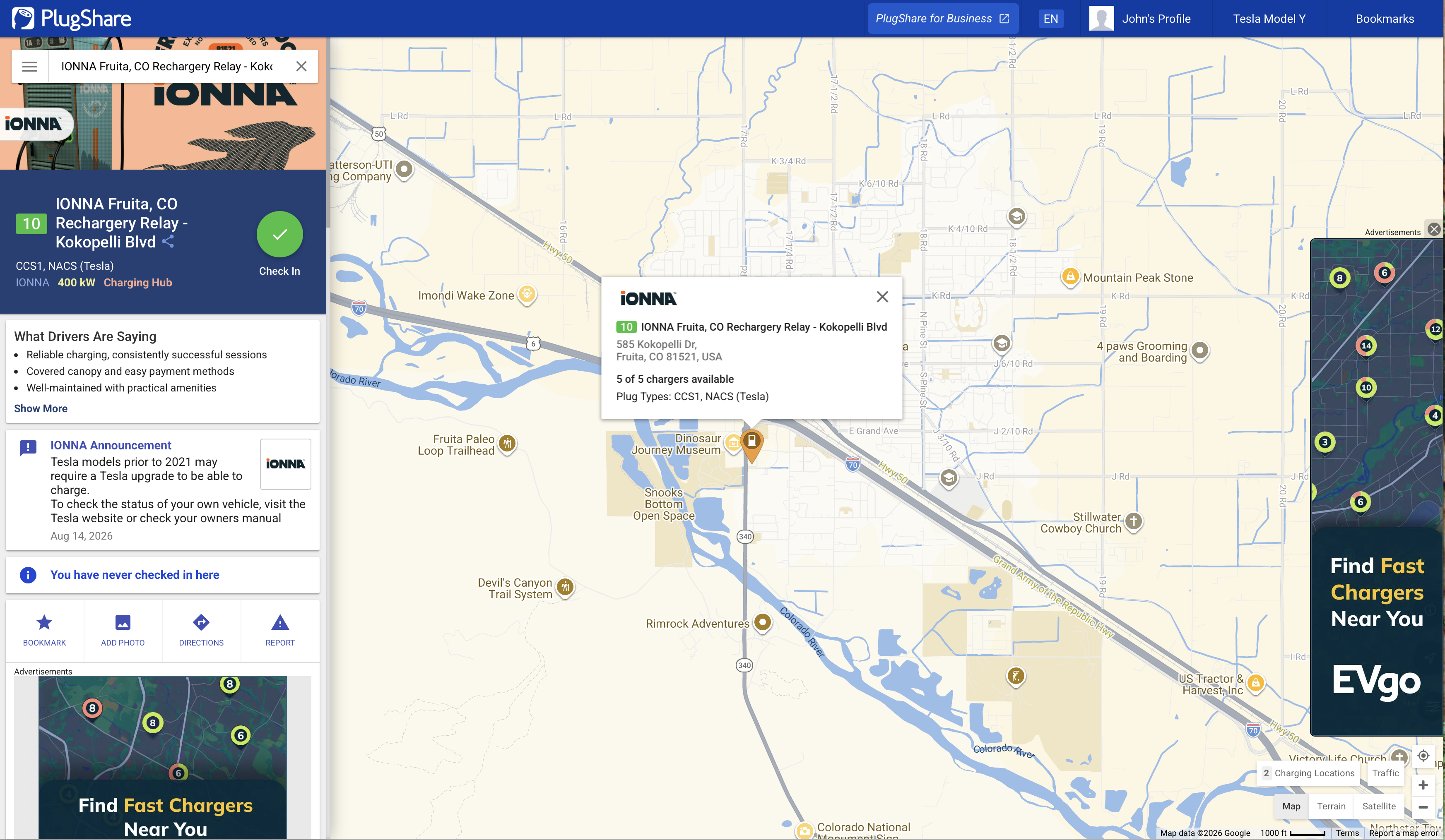
For the homeward drive, I charged at the newish Ionna chargers in Fruita. I was pulling over 100 KW at the start. Very fast. I bumped up in Glenwood Springs and had enough charge to get home, but owing to my range anxiety, I added 10% in Silverthorne. At the top of Loveland Pass the controls indicated 36% battery charge and an estimated 78 miles of range. But, as fans of regenerative charging know, when I arrived at Gulch Manor the spread was 32% charge and estimated range of 108 miles. It is pretty much downhill from Loveland Pass to my place, 11,990 feet down to 5,400 feet or so, on Berkeley Hill in Denver.
Most of the day Saturday was taken up by the climb from Fruita to the Continental Divide of the Americas.
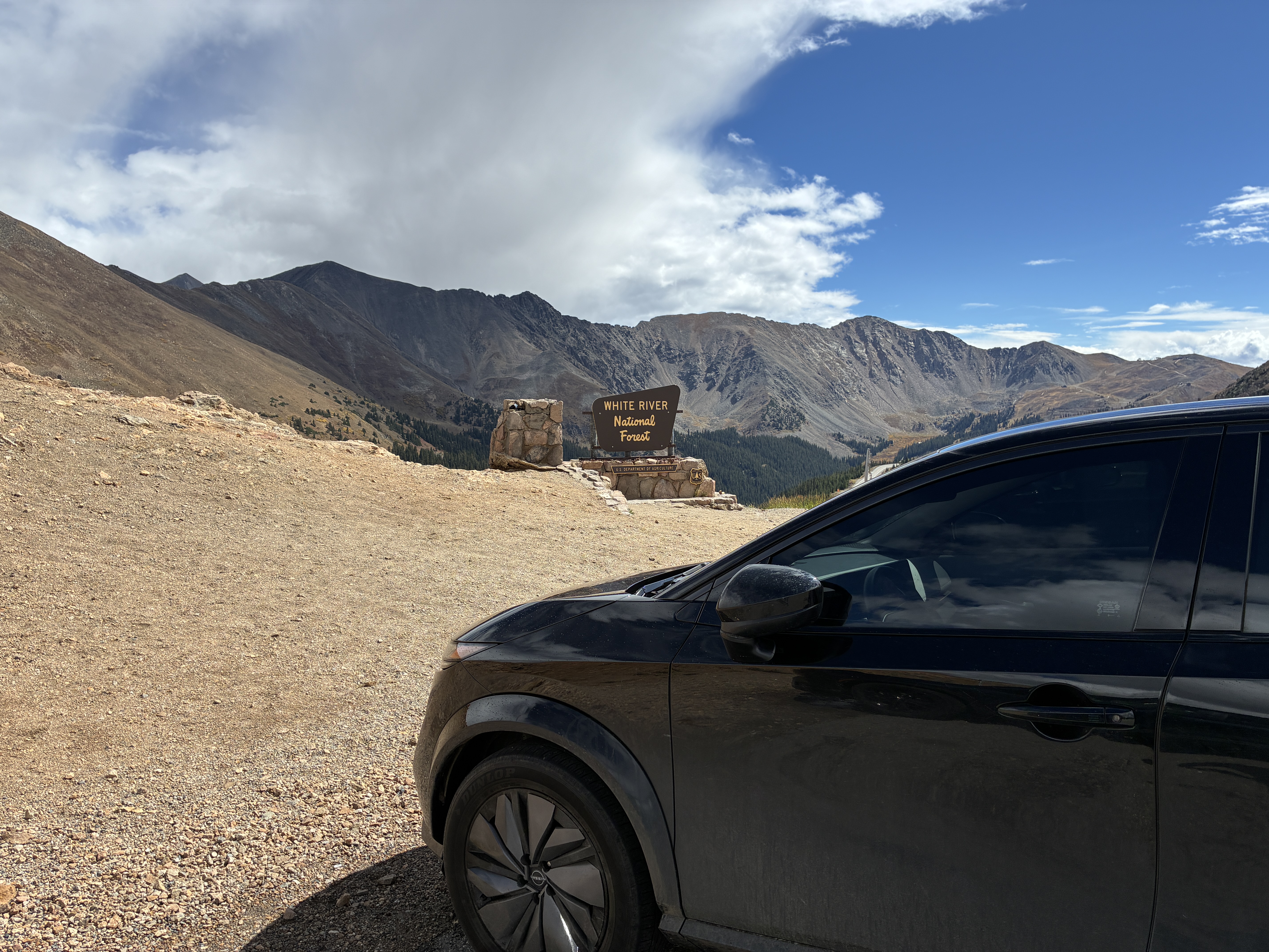
Coyote Gulch’s Ariya at the summit of Loveland Pass September 19, 2026.

All in all I charged at ChargePoint, Tesla, Tesla/Colorado Energy Office, Rivian, and Ionna chargers. I am so happy with the performance of my Ariya on the first road trip — ~950 miles.
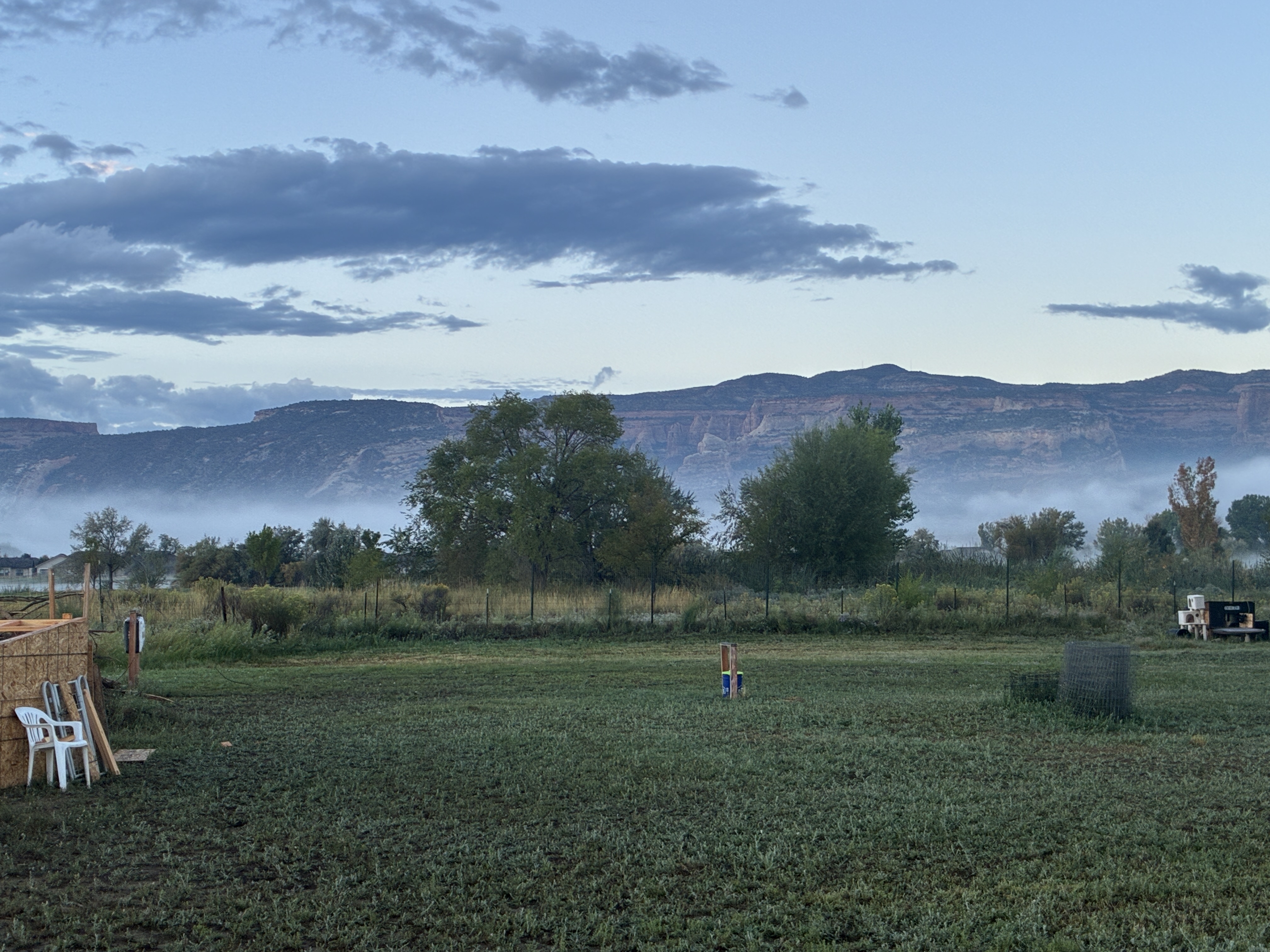
#ColoradoRiver District Annual Seminar September 18, 2026 #CRD2026 #COriver #aridification

Seminar day did not include an EV element. I ride my bicycle from Fruita to Grand Junction along the Colorado Riverfront Trail. The 14 mile ride has great views of the Colorado National Monument, Grand Mesa, and Mt. Sentinel.

Colorado National Monument from the Colorado Riverfront Trail near Fruita September 18, 2026.

Of course the Colorado River is front and center and it was so gratifying to see the river running with sediment.

Colorado River running muddy September 18, 2026.

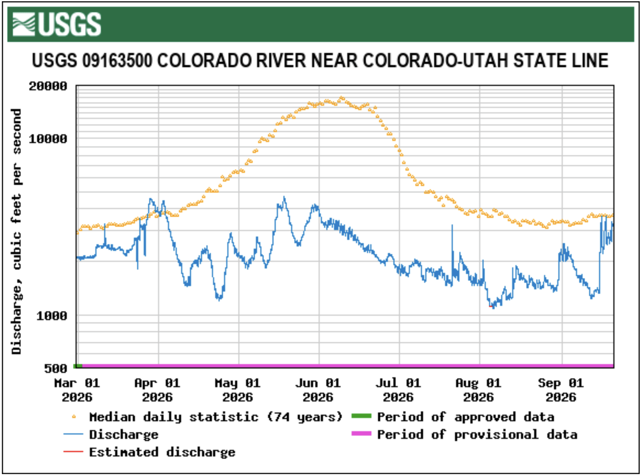
It had been rainy all week in western Colorado and you could tell, it was enough to get near average streamflow at the Utah line.

My main takeaway from the seminar was that West Slope water users shared supplies to get through these rough times. Collaboration was mentioned several times as was, “We didn’t call anyone out.”

Check out my live-posts from seminar on my BlueSky feed or the seminar hash tag (click on the “Latest” tab).

Map of the Colorado River drainage basin, created using USGS data. By Shannon1 Creative Commons Attribution-Share Alike 4.0