Click the link to read the article on the Aspen Journalism website (Heather Sackett):
September 17, 2026
The state water board has given the green light to a one-year, state-run water conservation program.
On Wednesday [September 16, 2026], the Colorado Water Conservation Board unanimously approved the application review process and criteria for what state officials are calling Colorado’s near-term contribution program for 2027. The move came at the board’s regular September meeting at Copper Mountain.
Board member and Colorado River mainstem representative Taylor Hawes reminded the board that their unenviable position was due to a historic drought.
“None of us want to be in this situation where we are dealing with these kinds of impacts from climate-change-driven drought,” Hawes said. “We’re doing this in response to what’s being thrown at us in terms of decreased supply.”
The contribution program aims to use $100 million in funding from the U.S. Bureau of Reclamation to pay water users in the Upper Basin states (Colorado, New Mexico, Utah and Wyoming) to voluntarily cut back. According to the criteria approved Wednesday, projects in Colorado are required to avoid negative impacts; avoid speculators; comply with the rules of local ditch companies; and consult with tribes and local water conservation districts about proposed projects within their boundaries. The program will also give weight to projects that see participation statewide, across water sectors and by tribal nations; build drought resiliency; and have environmental benefits.
The approval comes at a pivotal moment, as the federal government has taken over operations for the Colorado River and the nation’s biggest reservoirs after the seven states that share the river failed to find agreement after years of negotiations. The federal plan calls for cuts only for the Lower Basin states (California, Arizona and Nevada). But with the region wracked by historic drought, the Upper Basin states can no longer escape scrutiny over their water use and are expected to contribute in some way.
“We’re not doing this for fun,” Hawes said. “We’re doing this because our situation requires it. … It’s a step toward just being able to live within the river’s means.”

Full fallowing not favored
The Upper Basin has experimented with these types of paid conservation programs before, including in the System Conservation Pilot Program (SCPP), which ran in 2023 and 2024. And Colorado conducted its own exploration of a demand-management program from 2019 to 2021.
But these programs remain controversial and go against the main philosophy of Western water law: to maximize the use of water. Farmers and ranchers often feel unfairly targeted for water savings because they use the majority of Colorado River water. And some worry about the potential for impacts to rural agricultural communities if water is taken off the land.
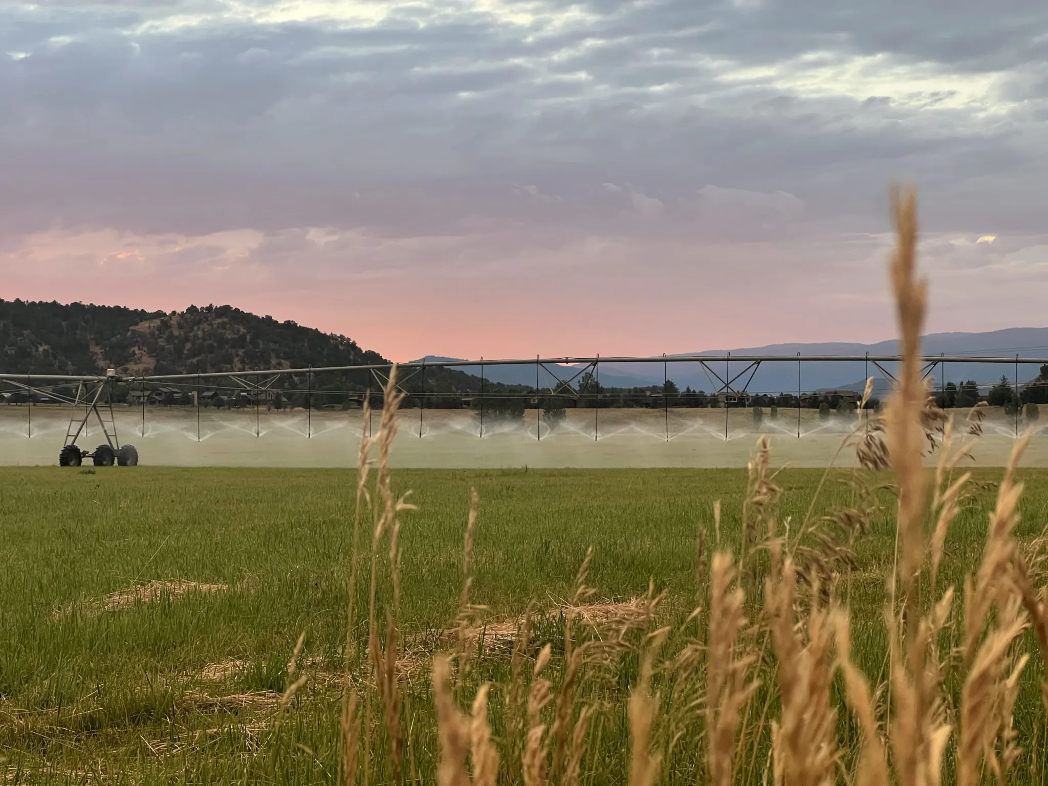
Although, in theory, all water-use sectors were allowed to participate in SCPP, in Colorado only agricultural water users in participated in the pilot program. Removing water from the Western Slope’s hay and alfalfa fields for an entire growing season — known as full-season fallowing — has been the most common way to find water savings in the past and is one of the easiest ways to calculate water savings. But early studies have shown that removing water from forage crops for the whole season can have negative impacts on fields that last for several years.
Troy Waters, a fifth-generation Mesa County farmer who sits on the board of Grand Valley Water Users Association and Grand Valley municipal water provider Ute Water, said during the public comment portion of Wednesday’s meeting that fallowing fields will just lead to “buy and dry,” where water is removed permanently, resulting in negative economic impacts to communities. Instead, Waters said he would like to see the funding from Reclamation go toward upgrades to aging infrastructure, such as lining ditches, which could have long-term water savings.
“This fallowing ground is causing nothing but a can of worms with farmers,” Waters said. “I’ve seen the fights; I’ve sat in on the board meetings. It’s not a solution. Let’s take this money and find a better solution.”
Some board members agreed. After some discussion, the board amended the criteria to add that multiyear fallowing projects should be disincentivized.
“The intent of making that suggestion is I don’t want to push people toward fallowing,” said CWCB Arkansas Basin representative Alan Ward. “I want that to be the exception.”
State officials have said they want to broaden the types of projects funded for next year, which is part of the reason why they are calling this a “contribution” program and not strictly a conservation program. A goal is to encourage participation from cities and industrial water users by offering more money to these sectors, where water is more valuable.
Becky Mitchell, Colorado’s representative to the Upper Colorado River Commission (UCRC) and a negotiator on Colorado River issues, said she heard loud and clear that there is not an appetite for multiyear fallowing projects.
“I think it is my responsibility to take that back to the Bureau of Reclamation and Department of the Interior and say these are the kinds of things we can do in Colorado and fallowing is not the only answer; the impacts of that might be too great,” Mitchell said.
State officials announced in July they would be creating a contribution program using federal money and have been taking feedback from water users and stakeholders since then. At Wednesday’s meeting, Emily Zmak, deputy interstate section chief at the CWCB, presented the findings from public comments, surveys and input, which helped officials craft the project criteria.
“Almost universally, we’ve heard support for a program,” Zmak said. “I would say 99% of the input either supported a program outright or supported a program with certain sideboards. Water users have been very invested in shaping the direction of a contribution program.”
The top criteria that respondents said they wanted to see in a program were protection of water rights; drought resilience; community impacts; and credit from Reclamation for the saved water. Respondents did not support having a minimum acreage for participation.
Approval process
Water-saving projects would have to go through several rigorous steps for approval, said Amy Ostdiek, interstate section chief with CWCB. First, there would be a review by the Colorado Division of Water Resources. CWCB staff would also consult with tribal nations for projects on their land and with local conservation and conservancy districts for projects within their boundaries. Then in January, the CWCB would decide which projects to advance to the UCRC for approval, before going to Reclamation for its approval.
“We would be seeking robust public input and review of these applications,” Ostdiek said.
CWCB’s approval Wednesday is conditioned on an agreement between federal officials and the Upper Basin states that says the states can get credit for and have control over the saved water.
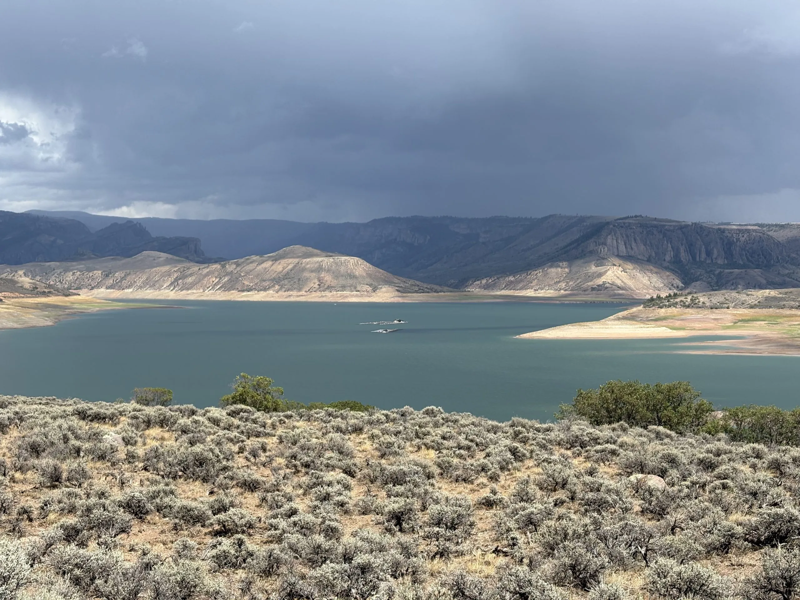
Under the Upper Basin’s contribution program, saved water would have to be moved and stored in either Lake Powell or Blue Mesa, Flaming Gorge and Navajo reservoirs (known as the Upstream Initial Units) in order to get credit from Reclamation for the stored water. One of the criticisms of past pilot conservation programs was that the water was neither tracked to Lake Powell nor measured to see how much ended up there.
On Sept. 11, the UCRC sent a letter to federal officials saying that water saved through the program should be stored in one of the Upstream Initial Units and should be operationally neutral, meaning the pools of saved water would not be factored into federal reservoir operations or releases.
“Without these elements, participation in an Upper Basin Program may be significantly limited,” the letter reads. “Accordingly, we intend to work with you so that contributions generated by the Program and stored at Lake Powell or the Upstream Initial Units will be credited and regarded as operationally neutral.”