Click the link to read the article on the Western Resource Advocates website (John Berggren):
August 31, 2026
- Communities across the West have been anxiously waiting for a plan to manage the Colorado River. The states that share the river have been unable to reach an agreement over how to manage it, forcing the federal government to move forward without one.
- The U.S. Bureau of Reclamation recently published a management framework for the next 10 years.
- This is not the long-term agreement many had hoped for, but it does leave room for collaborative solutions.
Communities across the West have been anxiously waiting for a plan to manage their water supply from the Colorado River. They watched as the states that share the river talked in circles behind closed doors. They attended conferences where state negotiators repeated the same tired arguments, did not present together, or were entirely absent.
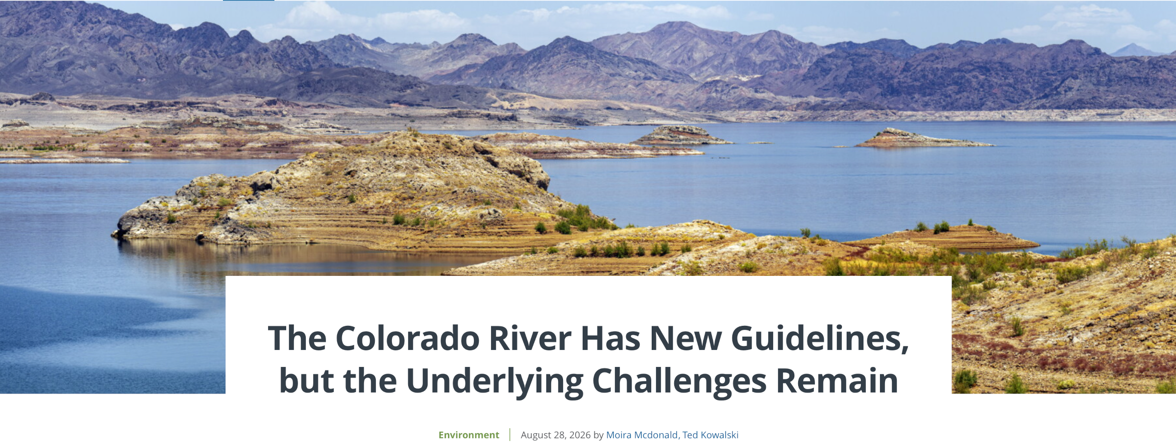
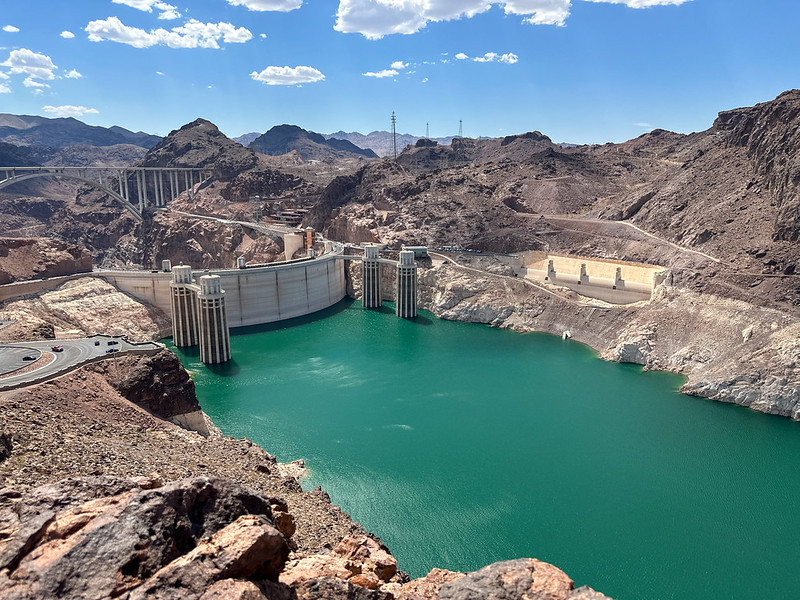
Outside the conference rooms, conditions on the ground were deteriorating. The Colorado River Basin experienced its warmest winter on record. The meager snowpack in the mountains was sucked into parched soils, rivers dwindled, and the Basin’s two major reservoirs hit record lows.
And the situation continues to worsen.
While negotiators were struggling to find consensus, farmers were fallowing fields, raft guides were staring down an uncertain season, neighbors were reporting each other for overwatering, families were discovering that their favorite fishing spots had closed, and municipalities were on the hunt for alternative water supplies.
Three years ago, the U.S Bureau of Reclamation set out to work with the Basin states, Tribes, and stakeholders on a 20-year management plan for the Colorado River. But the states never reached a long-term agreement, forcing the federal government to move forward without one.
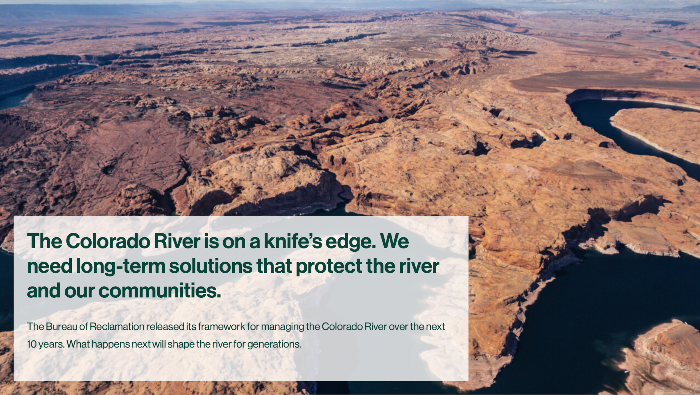
On Aug. 21, Reclamation published a framework for managing the river over the next 10 years. While it is not the long-term agreement many had hoped for, it does leave room for collaborative solutions.
What happens next will shape the river for generations.
What Is the Record of Decision?
A Decision-Making Framework
The record of decision lays out a 10-year framework for managing the river.
Under this framework, the Bureau of Reclamation will issue preliminary guidelines every two years for operating the river’s reservoirs and distributing shortages. Those guidelines will inform Reclamation’s annual plan for the river, which will be released every summer. Reclamation can adjust that plan each April depending on the winter’s snowpack and current reservoir levels. It is a tedious process, but one that allows the agency to modify operations as river conditions change.
State officials have raised concerns that the two-year framework will result in never-ending negotiations while making it difficult to plan ahead and finance solutions. These are valid concerns, but there is an off-ramp. If the states collaborate, they could replace the framework with a long-term deal that provides more certainty to their constituents and removes the need for prolonged negotiations.
A Plan for Managing Water Shortages
In addition to the record of decision, Reclamation issued operating guidelines for 2027 and 2028. These guidelines outline Lake Powell and Lake Mead operations and include shortages the Lower Basin offered earlier this year. Under the guidelines, the Lower Basin will reduce its use of the Colorado River by 1.25 million acre-feet in both 2027 and 2028. It will also pursue 700,000 acre-feet in additional conservation by 2028.
The record of decision allows Reclamation to impose even deeper cuts on the Lower Basin — up to 3 million acre-feet per year — if Lake Mead starts to approach the minimum levels needed to produce hydropower and to avoid hitting deadpool.
Reclamation is not mandating cuts in the Upper Basin because its authority to do so is less clear. But that doesn’t mean conservation isn’t urgently needed in the Upper Basin. In the record of decision, Reclamation includes up to 200,000 acre-feet of voluntary conservation each year collectively by Colorado, New Mexico, Utah, and Wyoming.
While this conservation is considered voluntary, it is in the Upper Basin’s best interest to be part of the solution. Flows on the Colorado River have declined by over 30% since 2020. The river will continue to be on a knife’s edge unless everyone contributes.
By saving water now, the Upper Basin can help keep things from getting worse and reduce the need for emergency releases from upstream reservoirs to prop up Lake Powell. This can help rebuild storage and support the outdoor recreation economy in places like Flaming Gorge in Utah and Blue Mesa in Colorado.
Conservation in the Upper Basin can also help avoid expensive and risky legal battles over the river. The 1922 Colorado River Compact says that the Upper Basin will not cause the flow of the river to be depleted below a certain amount over a 10-year period. The Upper Basin argues that this volume is 75 million acre-feet. The Lower Basin says the amount includes water deliveries for Mexico and is set at 82.5 million acre-feet. We could hit the 82.5 trip wire as soon as this fall, potentially triggering litigation from the Lower Basin. Such a dispute would likely cost taxpayers millions of dollars, take years to resolve, and leave the river’s future in the hands of the U.S. Supreme Court. If the Lower Basin prevails, water users in the Upper Basin could see drastic cuts to their supply and little time to implement solutions or secure funding to ease the pain.
The four Upper Basin states are at various stages of developing programs to pay water users to decrease their consumption. WRA is advocating for long-term programs that prioritize projects that keep rivers healthy.

Is the Latest Plan Enough?
Reclamation’s models show that the reductions planned for the next two years will just barely allow the Basin to scrape by. In the worst-case scenario, the Basin could drain its accessible water savings in Lake Powell. The only water left would be what flows in the river, and that is nowhere near enough to meet current demands.
What’s Next?
Implementing Solutions or Handing the Reins to the Supreme Court
The Basin states have an important decision before them — implement the new guidelines and work toward a long-term deal or take their chances in court.
Nevada was the first to take the plunge. Three days after Reclamation released the record of decision, Nevada filed a lawsuit against the U.S. Department of the Interior and Bureau of Reclamation. The state claims that the plan and the potential cuts to Nevada’s water supply violate federal law and seeks to halt its implementation.
Nevada’s lawsuit underscores the need for a deal that all seven states can agree to, rather than a plan imposed by the federal government. There is still an opportunity to reach such an agreement — the Nevada case does not preclude the seven states from continuing to negotiate or from entering into agreements to stabilize the river.
The states must not let this one case spiral out of control. Litigation between all seven Basin states over the Colorado River Compact would make things much worse.
History shows that multistate water disputes can take at least a decade to be resolved and often have unintended consequences. Arizona v. California, a dispute over Colorado River allocations in the Lower Basin, began in 1952 and was not resolved until 1963. The court settled the disagreement over water allocations and ruled that the Secretary of the Interior has broad authority to act as watermaster in the Lower Basin — giving the federal government greater control over Lower Basin water deliveries. Texas v. New Mexico, a dispute over the Rio Grande, went on for 13 years before reaching a resolution last spring. And a dispute between Kansas and Colorado over the Arkansas River was on-again, off-again for more than a century. The court ruled that Colorado was overusing water and awarded both water and monetary damages to Kansas. And these cases all involved two states — not seven.
The Colorado River does not have decades. Researchers predict that it will only take one more dry winter to drain the Basin’s accessible water savings.
On top of lost time, state litigation over the 1922 Compact would cost millions of dollars — money that is better spent implementing conservation programs, restoring watersheds, and increasing water efficiency. And litigation would leave decisions with the Supreme Court, not the communities that depend on the river and know it best.
Nevada’s lawsuit against the federal government does not change the fact that we have a river to manage. New guidelines are still needed by Oct. 1. The decision-making process must continue and the Basin states must act now to prevent a seven-state legal brawl.
In the coming months WRA will be advocating for:
- Protections for the river: Protecting river health and our communities are two sides of the same coin. The day-to-day operations of the river’s reservoirs affect everything from fish habitat to hydropower production to local water supplies and outdoor recreation. Operating guidelines must consider the full range of impacts and incorporate policies that maximize benefits for both our communities and the environment.
- Transparent decision making: The record of decision includes a plan for issuing new operating guidelines every two years. Those guidelines will affect 35 million people and must not be developed behind closed doors. A clear public process is needed to incorporate input from the Basin states, Tribes, Mexico, water users, communities, scientists, and conservation organizations.
- Sustained federal funding: Federal funding will be critical to implementing the changes that are needed to secure the West’s future, including restoring watershed health and incentivizing water use reductions. The river that supplies water to 1 in 10 Americans is worthy of federal investment.
- Equitable water access and Tribal inclusion: The 30 federally recognized Tribes in the Colorado River Basin have long been excluded from key decisions and denied their fair share of the river’s water. The new guidelines and programs must uphold Tribal water rights and provide clear pathways for Tribal collaboration.
- State collaboration: The states have been talking past each other for the last three years and it’s resulted in a federal management plan that few decision makers are happy with, and one state has already filed a lawsuit on. It is time to try a new approach before things get worse. The states must enlist the help of a professional mediator who can facilitate more productive negotiations. And the states must finalize and sign implementation plans — like the Lower Basin’s proposal to reduce its water use by 1.25 million-acre feet in 2027 and 2028 — as soon as possible.
- Basinwide collaboration: Many of the river’s most successful programs — including those that restored hundreds of miles of fish habitat and put tens of millions of dollars toward water conservation — were the result of collaborations between states, federal agencies, Tribal nations, water users, conservation organizations, and others. The challenges the river faces are growing. We must accelerate our efforts, build new partnerships, launch new programs, increase investment, and expand on successful initiatives.
The record of decision has set the stage, now it is time for the river’s next act.