
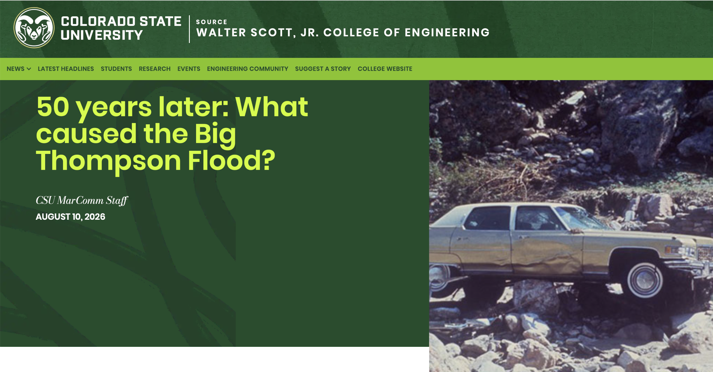
Click the link to read the article on the Colorado State University Source website (Allie Mazurek):
August 10, 2026
Editor’s note: Allie Mazurek, engagement climatologist and researcher at the Colorado Climate Center, wrote this piece following a July 31 symposium in Estes Park convened by the Colorado Climate Center to commemorate the 50th anniversary of the Big Thompson Flood. The event brought together experts, including several from CSU, to share flood-related research and practices with water managers, government officials, academics, flood survivors and others. Participants reflected on the progress made since the Big Thompson Flood while emphasizing the work that remains to strengthen preparedness and resilience for future flooding.
Flash floods are one of several extreme weather-related phenomena that Colorado faces. And at the end of July, we reflected on the 50th anniversary of one of the deadliest, most devastating floods in our state’s history: the Big Thompson Flood of July 31, 1976.
July 31, 1976: It was a Saturday, the eve of Colorado’s 100th anniversary of statehood. Hundreds of people, including many from out of state, were spending the holiday weekend recreating in the Big Thompson Canyon: a winding topographic feature that provides a scenic thoroughfare between Loveland and Estes Park.
The weather was reported to have been partly cloudy that afternoon, but conditions began to shift in the early evening. Around 5:30 p.m. local time, a large group of nearly stationary thunderstorms began forming just east of Estes Park. The storms grew quickly and ultimately produced roughly a foot of rainfall in the span of the next several hours: about five times the amount of precipitation that the area typically receives in an entire July.
Most of the precipitation fell during an even shorter time frame, a little over an hour. That sudden surge of water triggered a fast-moving flash flood along the Big Thompson River and steep adjoining canyon. The river rose upward of 20 feet in some locations and peak flow rate of more than 31,000 cubic feet per second was over four times as fast as the river’s previous maximum.
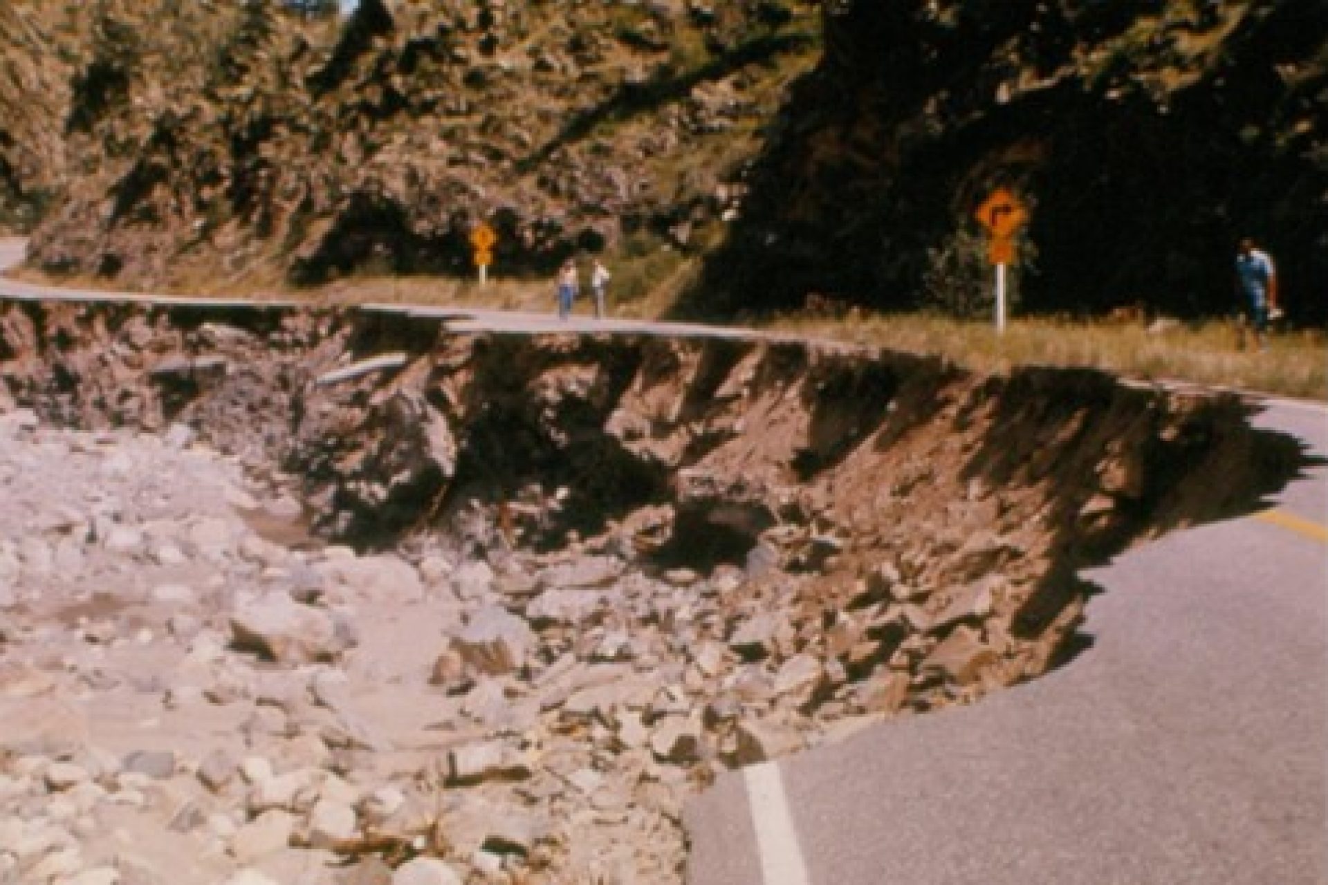
The devastation was tremendous: Hundreds of homes and businesses were destroyed, sections of Highway 34 were washed away and, tragically, 144 people lost their lives. There has not been a deadlier flash flood in the U.S. since that event, and it remains one of the deadliest weather disasters in Colorado’s history.
The ingredients
One way that atmospheric scientists examine flash flood potential is using an “ingredients-based” approach, which involves examining the characteristics of several atmospheric variables. For flash flood-producing rainfall, the key factors we consider are: rain rate, precipitation duration and surface conditions.
The Big Thompson Flood had numerous ingredients come together to support thunderstorms with very heavy rain rates. First, a cold front pushed westward across Colorado’s eastern plains, which brought moisture-rich air into the Front Range Foothills. The cold front also provided a “cap” atmosphere: bottling up very unstable air in the atmosphere above.
As the front continued to move west, air was forced upwards as the elevation of the terrain continued to increase. This upward motion helped the atmosphere to destabilize, eroding the cap and unleashing plenty of instability for thunderstorms to grow. This localized lift combined with larger-scale upward motion forced the moist, unstable air to cool and condense into thunderstorms.

As the ingredients were in place for very high rainfall rates, the atmosphere also had very weak “steering currents,” or the layer of winds in the atmosphere that move storm systems. Those weak winds meant that the thunderstorms forming at the mouth of the canyon were nearly stationary, allowing the very high precipitation rates to persist over the same area.
This extreme-rain-producing, slow moving thunderstorm set up near the mouth of the Big Thompson Canyon, a high-risk area for flooding due to its pervasive steep, rocky terrain and susceptibility to rapid runoff. These environmental ingredients coupled with social vulnerability factors all combined to create a disaster that evening.

The future
The 2013 Front Range Flood was a reminder that the Big Thompson Canyon continues to be a flash flood-prone area. And throughout Colorado, flash floods have always been and will always be a part of our climate, though climate change could potentially make them worse.
Research suggests that in a future, warmer climate, flash flood-producing rainfall will likely become more extreme. The reason behind this expected trend is that as temperatures warm, water is more eager to exist as vapor rather than liquid — allowing storms to tap into more moisture. Wildfire burn scars, which enhance flash flood risk by making soils repellent to water and cause debris flows, are expected to have an even more profound effect on flash flooding. Climate change is expected to increase wildfire risk in Colorado, leading to more widespread burn scar areas (and thus greater flash flood potential).
CSU research has helped contribute to the knowledge on the Big Thompson event and continues to advance research on heavy precipitation and flooding. The Colorado Climate Center, located in the Department of Atmospheric Science at CSU, serves as a conduit for conducting and disseminating such research to stakeholders and the public.
