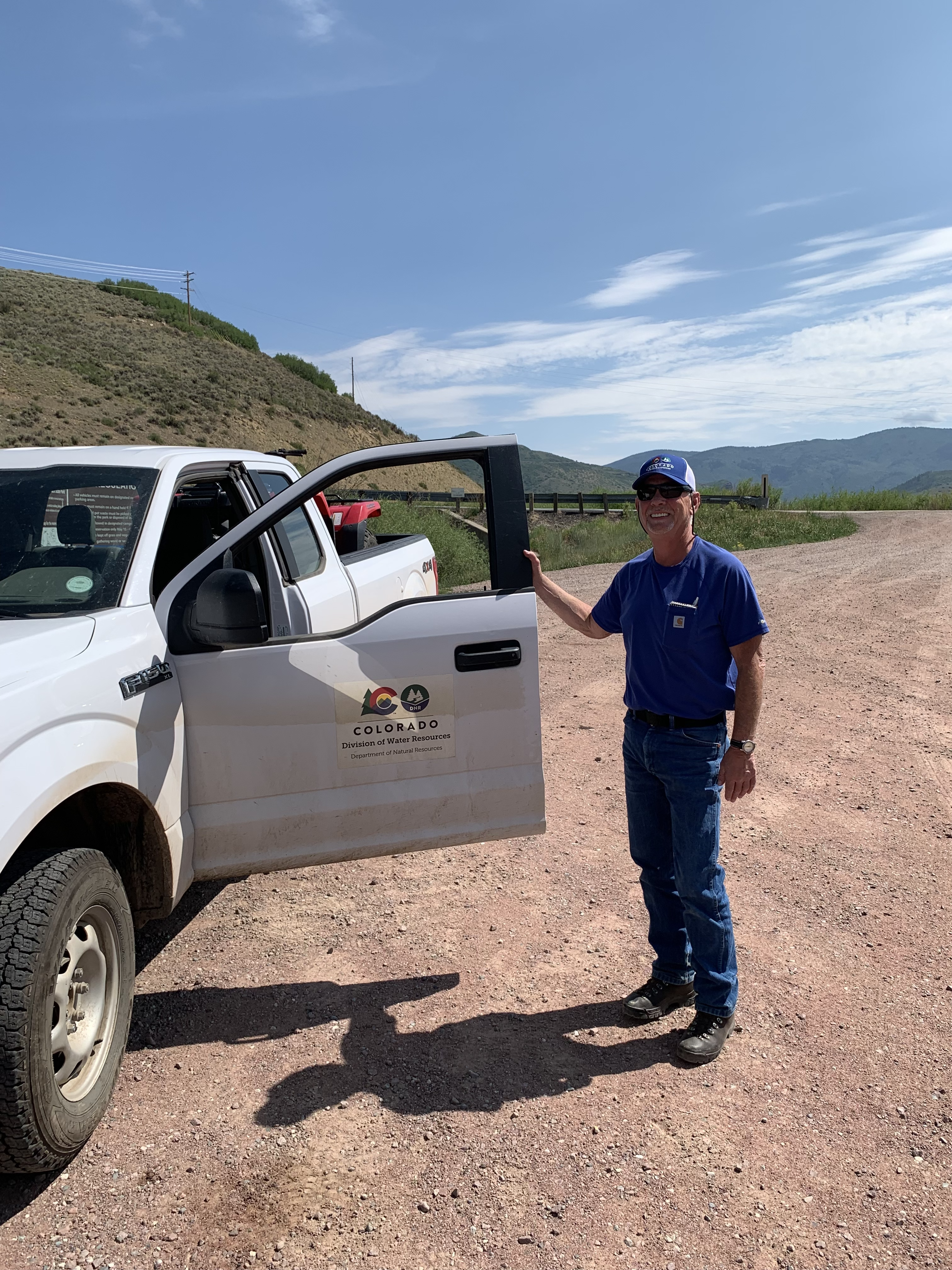
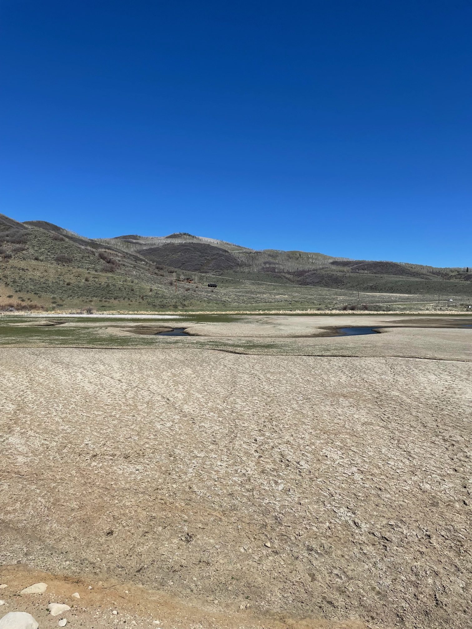
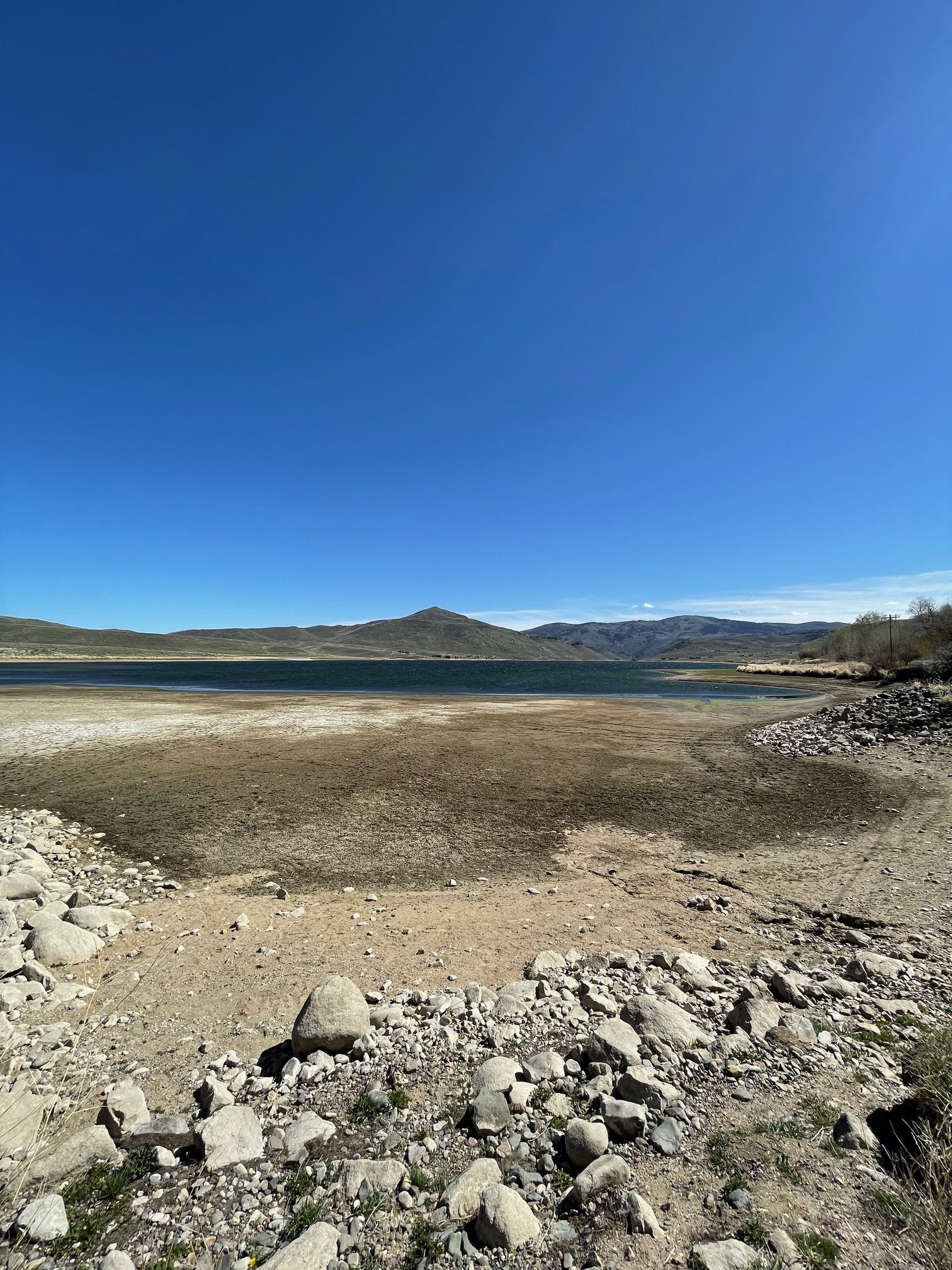
Scott Hummer worked for the Colorado Department of Water Resources for many years so he has witnessed many ups and downs for the rivers in northern Colorado. Here are some low flow photos from a recent road trip. First up Stagecoach Reservoir and the Yampa River.
“USGS Current Conditions for USGS 09237450 YAMPA RIVER ABOVE STAGECOACH RESERVOIR, CO – above Stagecoach Reservoir…Record Low flow, approximately one third of the flow when I was dealing with record low flows in 2021 up there” — Scott Hummer
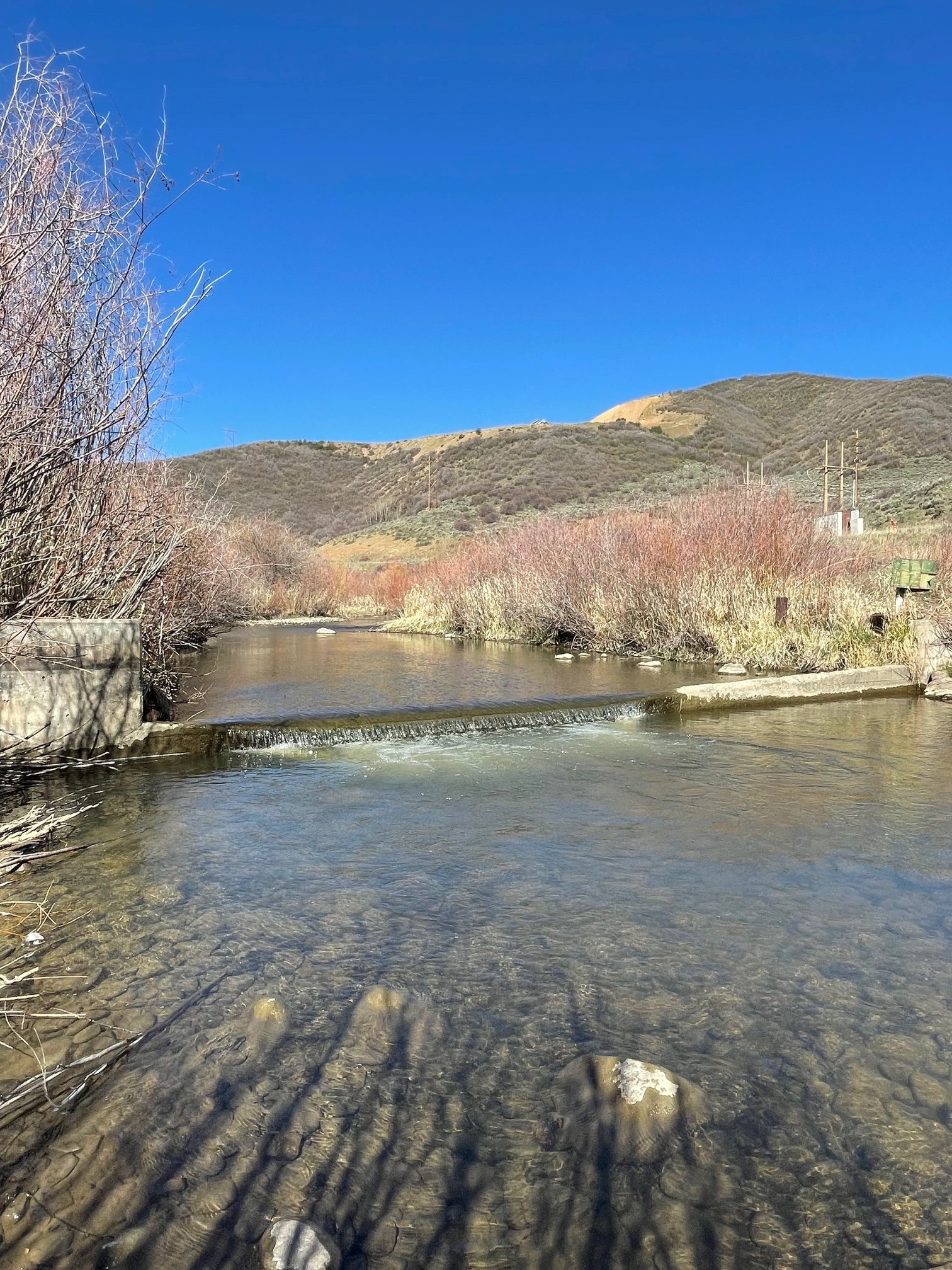
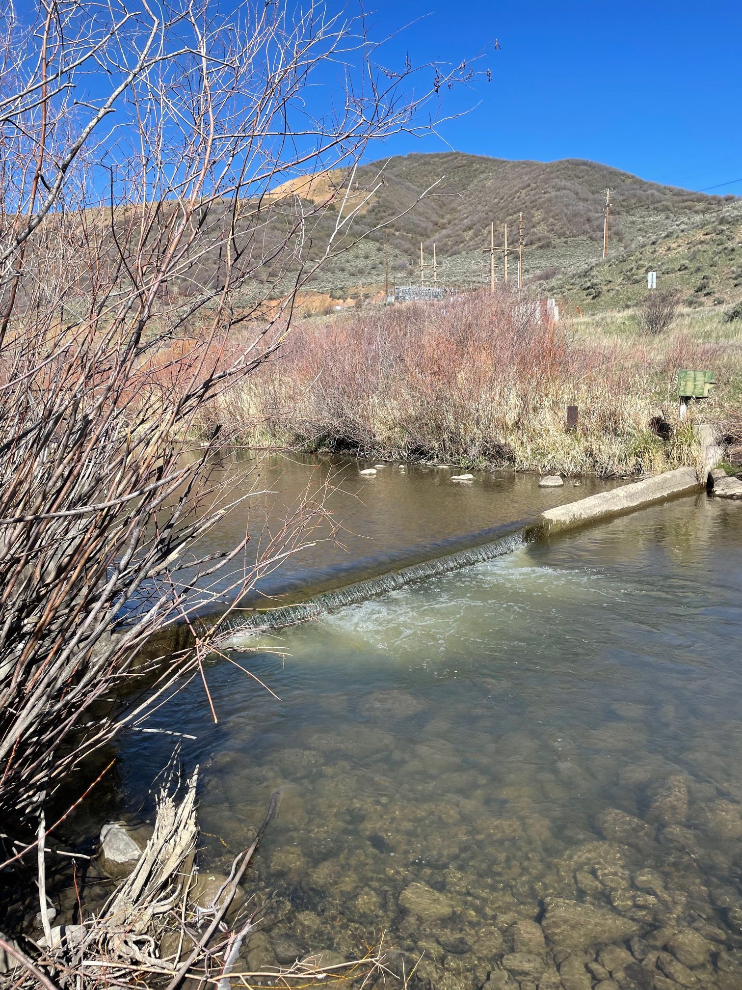
“Kremmling gage downstream from the confluence. USGS Current Conditions for USGS 09058000 COLORADO RIVER NEAR KREMMLING, CO” Scott Hummer
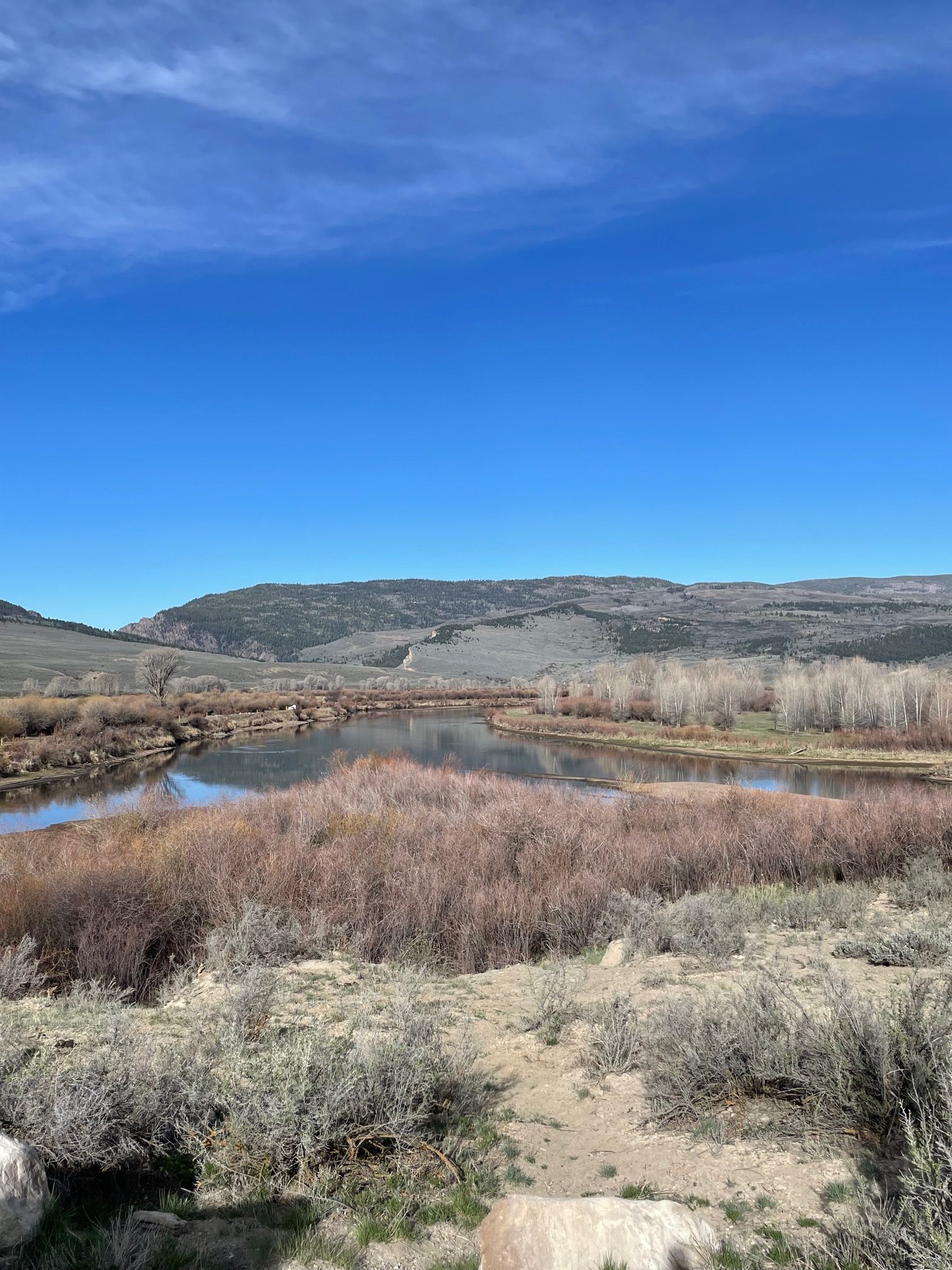
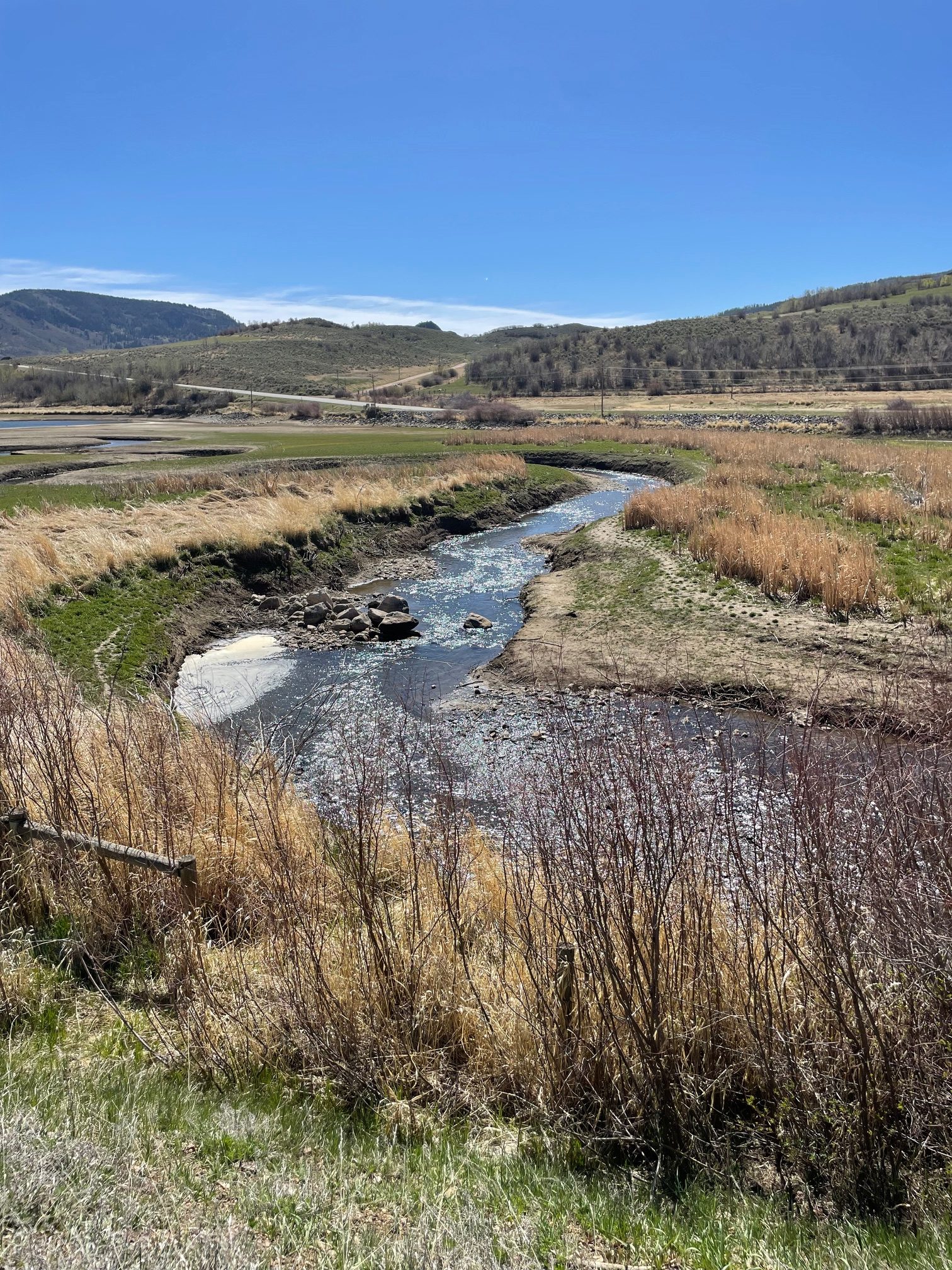
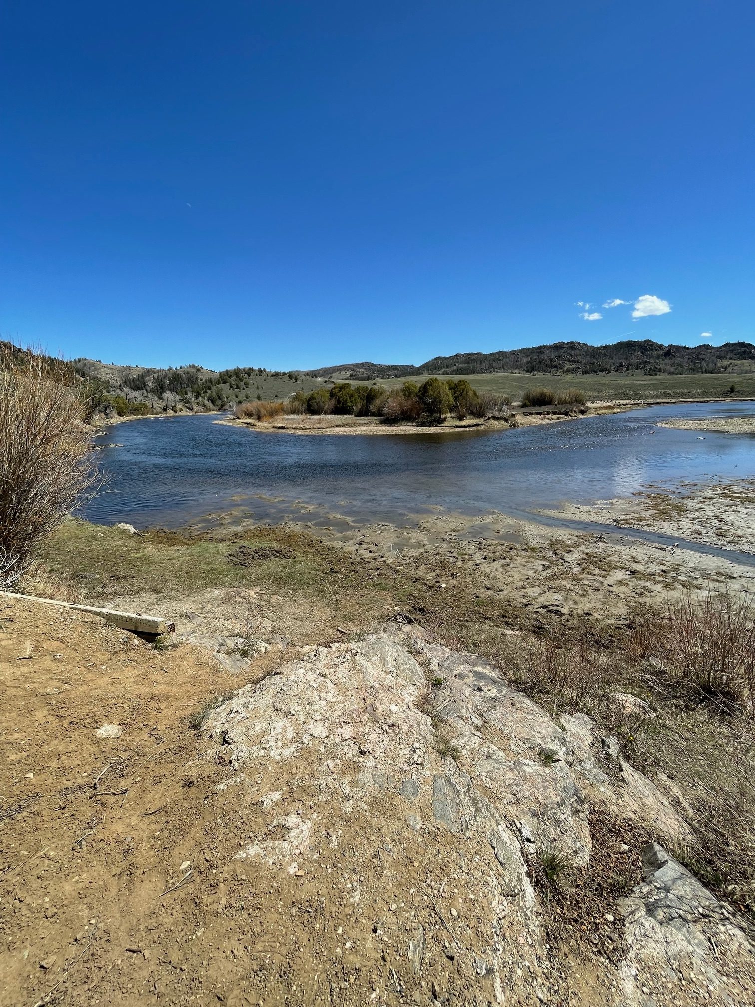
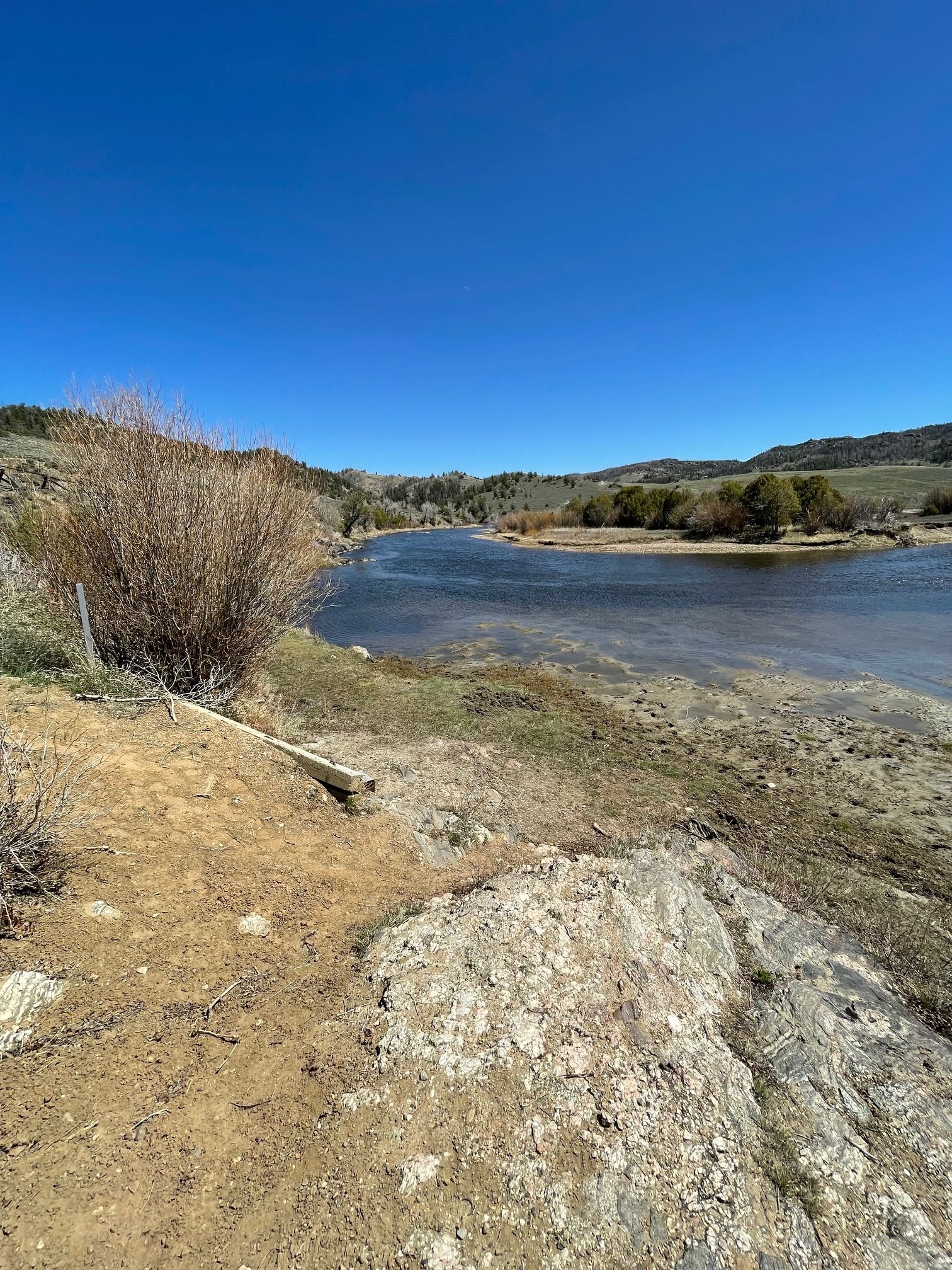
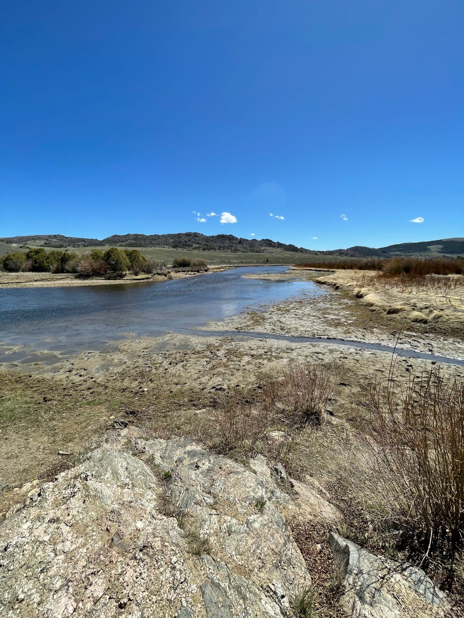
Scott also explored the North Platte River.
“USGS Current Conditions for USGS 06620000 NORTH PLATTE RIVER NEAR NORTHGATE, CO – about a mile below the gage site, right at Record Low flow.” — Scott Hummer