
Click the link to read the article on the Alamosa Citizen website (Heather Dutton):
April 13, 2026
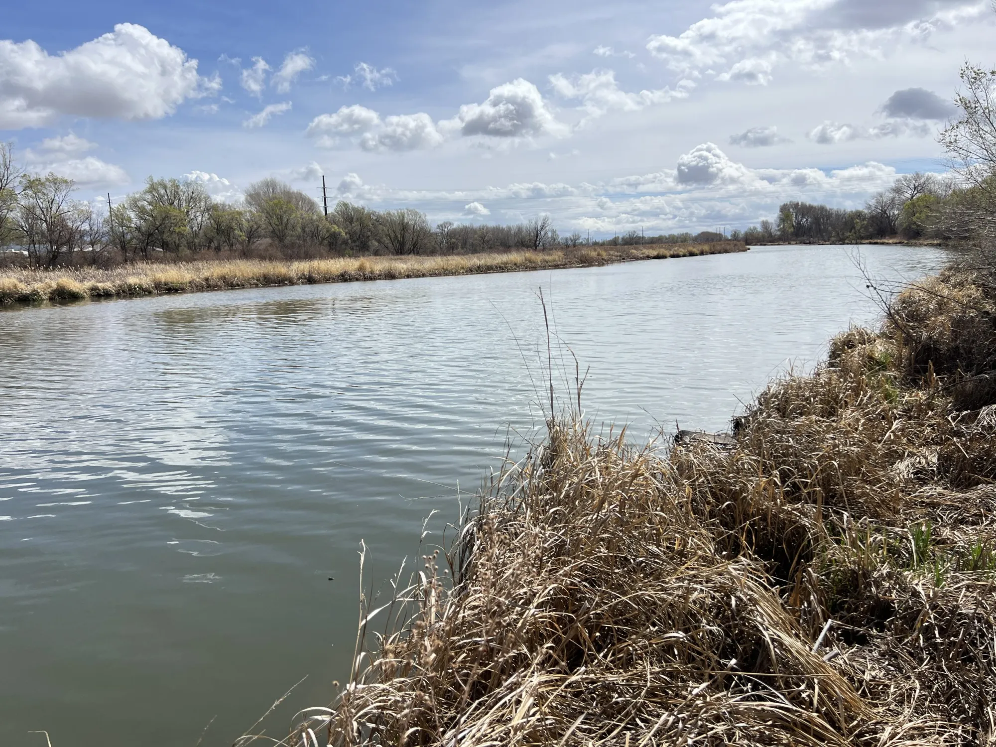
Water Managers anticipate flows in the San Luis Valley’s rivers and creeks will be very low in spring and summer 2026.
The Colorado Division of Water Resources Division 3 Engineer’s April 6 10-day report forecasted the total annual flow of the Rio Grande at the Del Norte gage will be 270,000 acre-feet, which is 42 percent of the long-term average. For reference, flows of the Rio Grande at Del Norte in 2018 totaled 280,400 acre-feet. The forecasted flow of the Conejos River system is 110,000 acre-feet, which is 37 percent of the long-term average. The snow water equivalent on April 9 for the Upper Rio Grande Basin was 12 percent of the median for 1991-2020.
The National Weather Service is forecasting hot temperatures along with below average precipitation into the summer. The irrigation season began on March 23 on the Rio Grande and March 16 on the Conejos River. As such, on-stream reservoirs are required to pass all inflows to satisfy the needs of downstream senior water rights holders. Given the low amount of snow, the exceptionally warm spring temperatures, and the anticipated summer drought conditions, it is possible that local rivers reached peak flow in March.
Rio Grande operations
The operators of reservoirs on the Rio Grande will time their releases of irrigation water to coincide with the canals being in priority to allow water to reach farmers. It is anticipated that many of the canals will only be in priority to divert water for a short time window, in some cases only days or weeks. As such, releases of irrigation water will begin in the next week.
The Santa Maria Reservoir Company will begin releasing stored irrigation water into North Clear Creek on April 14 at a rate of 200-300 cfs for 10 days. Additional releases will continue as farmers call for water. Rio Grande Reservoir will also begin releasing stored irrigation water into the Rio Grande on April 14 for approximately 20 days. The rate of the release will start at 100-150 cfs and increase up to 350-450 cfs. After deliveries are complete, releases will be limited to the natural inflows. As such, boatable flows on the Rio Grande may diminish as early as mid-May.
Entities including Colorado Parks and Wildlife, the San Luis Valley Water Conservancy District, and the Rio Grande Water Conservation District store water in reservoirs in the Upper Rio Grande Basin and call for releases for their operations in accordance with their water rights decrees.
Where possible, releases by these organizations will be prioritized during hot periods to supplement the natural flow of the Rio Grande and the South Fork of the Rio Grande to reduce high water temperatures to protect the health of fish. Unfortunately, there may not be sufficient water to keep temperatures below thresholds for responsible fishing. As such, anglers are encouraged to check temperature gages and not engage in catch and release fishing if water temperatures reach exceed 70 degrees. Temperature is measured at the 30 Mile Bridge, Wagon Wheel Gap, Del Norte, and South Fork Gages and can be viewed at the Colorado Division of Water Resources’ website (dwr.state.co.us). [ed. emphasis mine]
Conejos River operations
Platoro Reservoir is passing inflows, which were 10 times higher than average for much of March because of rapid snowmelt. The Conejos Water Conservancy District allocated 6,500 acre-feet of project water to the irrigators. Unfortunately, river flows are currently too low to carry that water to farmers’ headgates and water will not be released unless river flows improve. It is likely that the river will have dry up points below Highway 285. Anglers are encouraged to check temperature gages below Platoro Reservoir and near Mogote before engaging in catch and release fishing.
Links to Stream Gages with Temperature Measurements:
Rio Grande at Thirty Mile Bridge (RIOMILCO):
https://dwr.state.co.us/Tools/Stations/RIOMILCO?params=DISCHRG,WATTEMP
Rio Grande at Wagon Wheel Gap (RIOWAGCO):
https://dwr.state.co.us/Tools/Stations/RIOWAGCO?params=DISCHRG,WATTEMP
Rio Grande at Del Norte (RIODELCO):
https://dwr.state.co.us/Tools/Stations/RIODELCO?params=DISCHRG,WATTEMP
South Fork of the Rio Grande at South Fork (RIOSFKCO):
https://dwr.state.co.us/Tools/Stations/RIOSFKCO?params=DISCHRG,WATTEMP
Conejos River Below Platoro Reservoir (CONPLACO):
https://dwr.state.co.us/Tools/Stations/CONPLACO?params=DISCHRG,WATTEMP
Conejos River Near Mogote:
https://dwr.state.co.us/Tools/Stations/CONMOGCO?params=DISCHRG,WATTEMP

Heather Dutton
Heather Dutton is district manager for the San Luis Valley Water Conservancy District, which provides leadership to the San Luis Valley water community, a forum for learning and development, and the service of well augmentation in five counties in the San Luis Valley. More by Heather Dutton